Start Exploring
Choose a route into Ireland’s past: follow the newest additions, find a particular year or subject, or browse every available period.

Welcome to Emerald Archives
Emerald Archives presents Ireland’s story one reference year at
a time, from the deep prehistoric past to the modern era. Each
article explores the evidence, people, places and developments
associated with a particular year and places them within their wider
historical setting. The collection brings together archaeology,
politics, society, religion, culture, conflict, everyday life and
changing landscapes in one continuously expanding timeline. New
articles appear here as the archive grows. You can also explore
the full Irish History Timeline, search the archive directly, or
use Explore to move through the collection by period and subject.
Archives Under Construction: 2,919 Years Shared — In Progress: 991 CE — Available Archives: 27
10th Century Ireland CE



Hostages And Kings
Archived: 26 September 2026
In 1000, Ireland's annalists marked the millennium through sophisticated calendrical scholarship, without evidence of apocalyptic anxiety. After Brian Bórama and high-king Máel Sechnaill defeated Leinster and Dublin at Glenn Máma in late 999, Brian burned Dublin but restored it after Sitriuc Silkbeard submitted hostages, preserving its strategic trade and military value. Their alliance soon collapsed: Brian's coalition advanced towards Tara, but Máel Sechnaill destroyed its advance force in Brega, forcing withdrawal. Elsewhere deaths, blinding and killings exposed dynastic instability. Rural farming, raiding, urban craft and trade, Christianity and learning continued, while Brian's growing coalition foreshadowed his eventual high-kingship over Ireland.
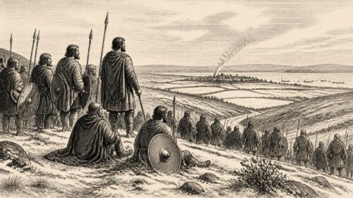
Glenn Máma’s Winter Battle
Archived: 26 October 2026
In 999, Ireland’s political order was strained as Sitriuc of Dublin and Máel Mórda seized Leinster’s kingship, imprisoning Donnchad mac Domnaill. Raids on Kildare, Leinster and Uí Echach demonstrated warfare’s dependence on cattle, captives and plunder. On Thursday 30 December, Brian mac Cennétig’s coalition, including Máel Sechnaill’s forces, defeated the Dublin–Leinster army at Glenn Máma, killing Dublin nobles and opening the route to the port. Dublin’s sack occurred at the year’s turn, not within 999. Máel Sechnaill’s conversion of the fallen Lia Ailbi into millstones linked authority, memory and subsistence. The year altered power without creating unity or millennium expectations.
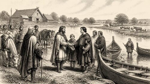
Athlone’s Week of Hostages
Archived: 26 October 2026
In 998, Brian of Munster and Máel Sechnaill of Tara jointly asserted authority across Ireland. At Athlone, Brian secured Connacht’s hostages within a week and transferred them to Máel Sechnaill, recognising Tara’s overlordship while displaying his own military reach. The kings also obtained guarantees from Dublin’s Hiberno-Scandinavian rulers. Athlone’s Shannon ford enabled movement between Mide and Connacht, making it a strategic political meeting point. Hostage-taking signified submission rather than territorial conquest. The year also saw the deaths of leading churchmen at Armagh and Clonmacnoise. Though later conflict approached, 998 demonstrated Brian’s growing power within an uneasy partnership with Máel Sechnaill.
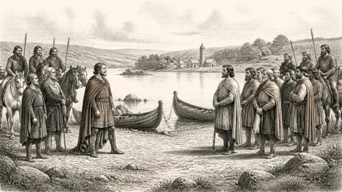
Port Dá Chaineóc Accord
Archived: 26 October 2026
In 997, Brian Bóruma of Munster and Máel Sechnaill mac Domnaill of Tara met at Port Dá Chaineóc, probably near Lough Ree, and divided Ireland symbolically into Leth Moga and Leth Cuinn. The accord recognised Brian’s southern authority and Máel Sechnaill’s northern and midland pre-eminence without creating fixed states or peace. Transfer of Leinster and Dublin hostages gave Brian crucial leverage. Dublin remained an influential, diverse trading port, beginning coinage around this time. Elsewhere, warfare, plundering and political mutilation continued, while ecclesiastical successions mattered publicly. The settlement marked Brian’s rise, but later conflict determined his eventual wider dominance across Ireland.
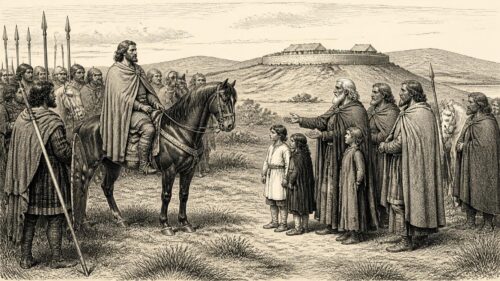
Hostages at Mag Ailbe
Archived: 26 October 2026
In 996, Brian Boru, king of Munster, took hostages from Uí Cheinnselaig and territories west of the Liffey at Mag Ailbe, demonstrating expanding influence in Leinster without establishing uncontested national rule. Annalistic chronology differs, requiring caution over dates and causal links. Deaths of rulers in Uí Cheinnselaig and Osraige accompanied regional instability and succession. Armagh suffered a major fire attributed to lightning, although other chronicles report plundering and burning by Airgialla. In the north, Áed of Ailech defeated raiders at Glenn Rige. These events reveal competing lordships, vulnerable churches, military power, and Brian’s growing leverage before the 997 division agreement.
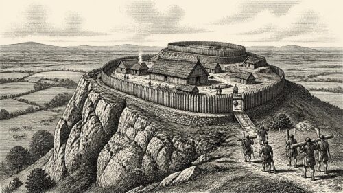
Brian’s Cashel Fortifications
Archived: 26 October 2026
In 995 the Annals of Inisfallen record Brian son of Cennétig strengthening Cashel, Inis Locha Gair, Inis Locha Sainglenn and numerous other structures. This programme demonstrated Dál Cais control of Munster’s traditional royal centre while securing resources and refuges against raiding. Annalistic dating varies for connected events, including killings among Leinster, Osraige and Déisi rulers and Armagh’s destruction by lightning-fire. The year also saw ecclesiastical succession at Emly, the death of the scribe and coarb Colla, and deaths of rulers linked to Dublin and Alba. Together, these events reveal Brian’s rising, yet contested, authority amid political violence and institutional vulnerability.
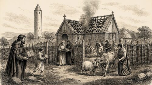
Swords, Silkbeard and Ímar
Archived: 26 October 2026
In 994, Ireland’s annals recorded political and ecclesiastical change. Sitriuc Silkbeard was expelled from Dublin during a brief Hiberno-Scandinavian dynastic takeover linked to Ímar of Waterford and his son Ragnall, whose rule soon collapsed. Máel Sechnaill, king of Tara, burned Swords, demonstrating his coercive influence near unstable Dublin. Elsewhere, regional rulers including Fogartach of Corcu Trí, Áed, heir of Ailech, and Conn of Uí Fhailgi were killed. The deaths of Armagh’s bishop Máel Muire and Scattery’s vice-abbot Fínnechta underline church institutions’ central public role. These scattered notices reveal local violence, competitive kingship, vulnerable ecclesiastical settlements, and interconnected Irish Sea politics.
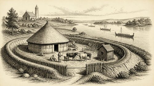
Bees, Cattle and Kings
Archived: 26 October 2026
Annals conventionally place 993 amid a major mortality of people, cattle and bees, though its cause, scale and chronology remain uncertain. This crisis threatened subsistence, wealth and ecclesiastical resources. Political violence killed several local rulers in the midlands, Connacht and west, revealing fragmented lordship and Máel Sechnaill’s interventions. Brian of Munster led a naval expedition from Lough Ree towards Bréifne, while Mide suffered devastation and Dublin’s Norse-Gaelic politics remained unsettled. Meanwhile, Muirecán, Patrick’s successor, visited Cenél nÉogain and publicly affirmed Áed’s royal standing. The notices portray interconnected warfare, church authority, riverine mobility and vulnerable rural life throughout Ireland in 993.
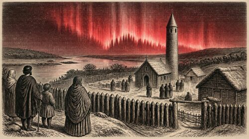
St Stephen’s Red Sky
Archived: 26 October 2026
In 992, Irish annals record Máel Sechnaill mac Domnaill’s cattle-taking expedition into Connacht, demonstrating Mide’s military reach and the central value of livestock. Brian son of Cennétig subsequently led Munster and Connacht forces into Mide, apparently as a restrained but purposeful show of strength. Regional politics were further marked by deaths and probable violence among rulers in Tethba, Uí Diarmata and Corcu Baiscinn. Ecclesiastical succession affected Clonfert, Clonmacnoise and Inis Cathaig, institutions entwined with wealth and power. The records also illuminate rural dependence on livestock, Ireland’s trade connections, and a blood-red sky observed on St Stephen’s night, possibly an aurora.
Tara’s Three-Night Reckoning
Archived: 8 October 2026
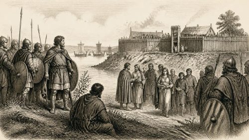
In 980, amid succession following Domnall ua Néill’s death, Máel Sechnaill mac Domnaill of Clann Cholmáin defeated Dublin and Isles forces at Tara. The victory, although not an expulsion of Norse power or unification of Ireland, enhanced his claim to wider supremacy. With Eochaid of Ulaid, he besieged Dublin for three days, securing hostages, tribute, release from Dublin’s exactions, and freedom for some Irish people held in bondage. Ragnall, Dublin’s heir, died in battle, while Amlaíb Cuarán retired penitently to Iona. Dublin’s commerce endured, but its political influence declined. Church deaths and regional killings exposed Ireland’s continuing fragmented, unstable kingship.