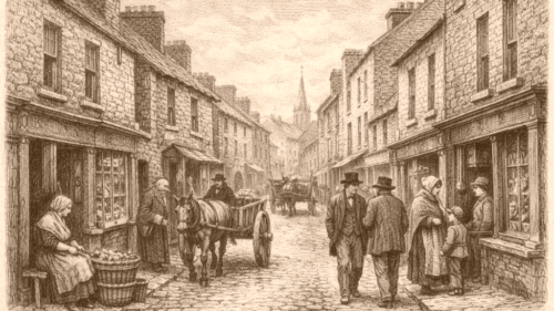
Nicholas Street
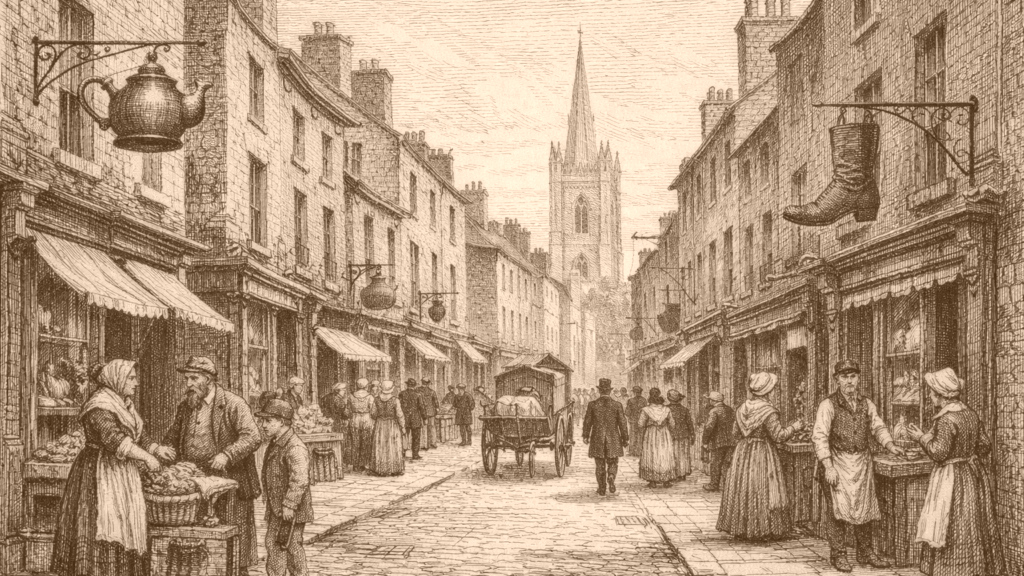
At a Glance
Street Setting
Nicholas Street appears in Thom’s 1862 directory as a street running from High Street to Blackhall Row. The entry also places the street within the St Nicholas Within and St Nicholas Without divisions and arranges the numbered premises in a compact sequence. On that evidence, the street was not a vague locale but a clearly bounded urban frontage with a defined run of properties in the early 1860s.
The first numbered entries already show a mixed commercial strip rather than a single line of one occupation. At the opening of the list are a grocer and spirit dealer, a boot and shoemaker, a provision dealer, a hatter, a broker, an auctioneer and hat manufacturer, another hatter, a clothes broker, and another boot and shoemaker. The directory therefore presents Nicholas Street as a place of small retail and craft businesses side by side.
Retail Mix
The middle part of the street keeps that pattern going, with ordinary food and household trades appearing repeatedly. The directory names a provision dealer, a grocer and spirit dealer, a provisions stores, a glass and china warehouse, another grocer and spirit dealer, and a dairy. This is direct evidence of a street where everyday consumption goods were sold in close proximity to small specialist trades.
The same stretch also records courts and tenements along the street frontage. Back Lane intersects, followed by Maguire’s Court, Draper’s Court, and Martin’s Court, while several entries are marked simply as tenements. The directory does not explain how those properties were occupied, but it does show a built environment in which shops, houses, and narrow access points were interwoven along the same street line.
Household Trade
Further along, the directory continues with occupations tied to everyday household need and small-scale resale. It lists a pawnbroker, several clothes brokers, a grocer, a dairy, and more tenements. The repeated appearance of clothes brokers is notable within the sequence, but the record itself remains descriptive rather than explanatory: it shows the businesses present, not why they clustered there or how customers used them.
The street list also includes people whose entries connect more than one place. A vintner is given with another address in Meath Street, while a grocer and spirit dealer and a grocer appear among the same run of numbers. This is a useful reminder that the directory records premises, not business histories. What can be stated securely is that Nicholas Street held a dense sequence of modest urban occupations.
Upper End
The upper numbering continues the same pattern, but it also brings in larger civic and institutional features. The directory lists a grocer, a clothes broker, a hatter with a second address, another hatter, Kennedy’s Lane, a Parochial School-house, and a vestry clerk at number 41. The sequence therefore moves from retail premises through a school and a church-related office, rather than ending in a purely commercial block.
This part of the directory also shows what the source cannot show. It identifies occupations and premises, but not shop signs, window displays, ownership arrangements, or the internal layout of the buildings. Even so, the documentary picture is firm enough to say that Nicholas Street combined commercial addresses, institutional sites, and access to nearby lanes within one continuous street listing.
Urban Context
A later archaeological report places Nicholas Street within a larger Dublin townscape. It describes the development area at Nicholas Street and High Street as bordered by High Street, Nicholas Street, and Back Lane, and states that those roads formed part of the medieval streetscape of Dublin City. That information does not concern shops directly, but it confirms the street’s position within an older urban fabric.
The same report notes substantial archaeological deposits beneath the site and says the piling works encountered them at depth. It also states that no further mitigation was required. These details do not add anything about individual businesses, but they do show that the street in the nineteenth-century directory belonged to a deep and heavily layered city setting rather than a modern open plot.
Comparative Traces
A separate record from Limerick offers a limited comparison rather than direct evidence for Dublin. It shows the Thomond Provision Company at 41 Nicholas Street, described as a black-and-white image from the 1930s, and its tags include grocery store, shop front, sign writing, and Nicholas Street. Because this is a different city and a later period, it cannot be used to reconstruct Dublin’s 1860s shops, but it does show that the same street name could mark a plainly commercial frontage elsewhere.
Taken together, the Dublin directory, the Dublin archaeological report, and the Limerick photograph support a restrained conclusion. The 1862 listing is strongest for Nicholas Street itself, where the evidence shows small shops, courts, tenements, and an institutional end point within one street sequence. The later records add context about the street’s urban setting and offer a separate Nicholas Street comparison, but they do not alter the directory’s basic picture.