

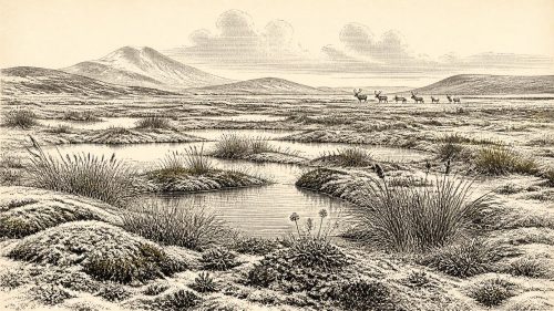
Derryvree’s Calibrated Waterline
Archived: 17 September 2026
Around 31,394 BCE, Ireland was a fluctuating Late Pleistocene landscape, not a recorded historical society. Freshwater sediments at Derryvree, County Fermanagh, formed between glacial episodes, preserving evidence of treeless wetlands, sedges, grasses, mosses and aquatic plants. They indicate locally exposed, cold, wet ground before the later expansion of the British–Irish Ice Sheet. Cave remains show that mammoth, reindeer, horse, giant deer and predators reached Ireland during the broader Middle Midlandian period, though not necessarily simultaneously. Possible human activity at Castlepook remains unconfirmed as evidence of settlement. No communities, politics, monuments or traditions can be securely assigned to this remote interval.