
Nicholas Street
At a Glance
Medieval Origins
In Dublin, Nicholas Street is linked to an older streetscape associated with Skinners’ Row and Christ Church Place. One account places the street of the curriers at the eastern corner of Nicholas Street and says the route once ran beside the Tholsel. A modern directory places Nicholas Street between High Street and Blackhall Row. Taken together, these notices show a named street within the central city fabric and a neighbouring historic street that was once much narrower than the present open space.
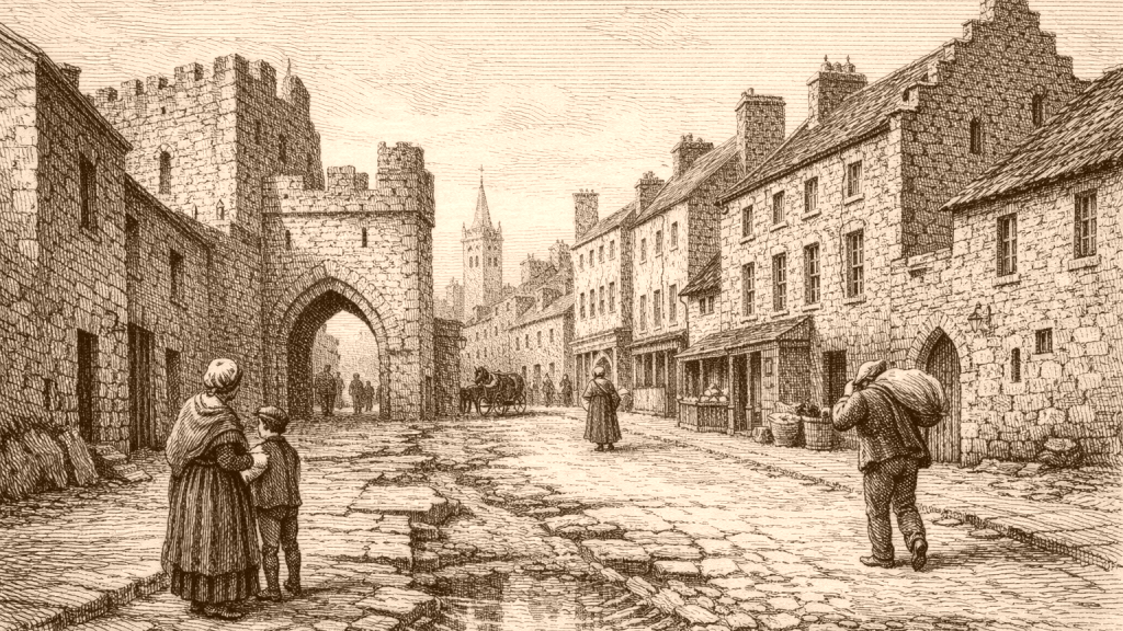
In Limerick, Nicholas Street is described in stronger urban terms. The excavation report says it was the main street and that its origins lay in the medieval town. The conservation notice places it in the heart of medieval Limerick, near King John’s Castle and St Mary’s Cathedral. The archaeological record locates the site east of Nicholas Street within the Englishtown. These separate descriptions agree that the street belongs to the older core of the city.
Exchange Building
A prominent Limerick building on Nicholas Street is the Exchange. The architectural dictionary records a re-edification in 1777 to 1778 by Henry Denmead. It gives the building a hewn-stone front, seven Tuscan columns, a balustrade, and a council chamber, and it notes that the foundation stone was laid on 25 June 1777. The entry therefore preserves both the date range and the main architectural features of the rebuilt Exchange.
The same record shows later work on the Exchange. It notes payments in April 1815 and June 1819 for repairs, first to James Pain and then to Messrs. Pain. No further detail is given in this extract about the works themselves, but the payments demonstrate continued maintenance after the eighteenth-century rebuilding. The evidence here is limited to repairs and payment entries, not to any wider civic narrative beyond the building’s altered condition.
Domestic Plots
The Limerick material also records domestic and plot-scale evidence on Nicholas Street. The conservation notice says that numbers 36 to 39 retained remnants of long, narrow medieval burgage plots with an average width of five metres. It also says the fireplace site lay between what were probably two stone medieval houses dating to the late medieval or early post-medieval period. These details show the street as a place of narrow urban holdings rather than a single monumental frontage.
Excavation at the same Limerick location found architectural survivals beneath later building work. The report describes standing remains of medieval side-walls, a late medieval fireplace, and a vaulted undercroft behind them. It also says the medieval walls did not originally reach the present street line, stopping about four metres short. That measured comparison between the older footprint and the modern edge of Nicholas Street is one of the clearest observable changes in the record.
Directory Street
The Dublin street directory of 1862 presents Nicholas Street as a busy address list rather than a single historic monument. It enumerates merchants, boot and shoe makers, grocers, spirit dealers, hatters, provision dealers, brokers, and tenements along the street. The entries extend through numbered properties and note intersections with lanes and courts. This is direct evidence of a commercial and mixed-use urban street in the nineteenth century, recorded house by house.
The same directory also preserves parish markers. After the sequence of property entries, it names a parochial school-house and a vestry clerk, then identifies St Nicholas Within and its incumbent. A nearby navigation line refers to Nicholson’s Court. These details place the street within a parish framework and a dense network of side streets, rather than as an isolated road with only one function.
Archaeological Record
Archaeology adds another layer to the Dublin side of Nicholas Street. A report on Nicholas Street and High Street states that the development area lay within a triangular block bordered by High Street, Nicholas Street, and Back Lane, all part of the medieval streetscape. It further reports substantial archaeological deposits beneath the ground surface and recommends protection of the area as a sub-constraint. The evidence is about deposits and planning impact, not about visible street form alone.
The same Dublin archaeological record points to deeper medieval features nearby. It says the north end of Nicholas Street revealed features related to the construction of the town wall and moat, and that these predated the later channelling of the Poddle through the area. Nearby trenches at Winetavern Street uncovered a town wall and a jetty or boardwalk. This comparison shows a wider zone of medieval engineering around Nicholas Street, though not every feature lay directly on the street itself.
Living Street
Later evidence shows Nicholas Street continuing as a lived and managed urban place in Limerick. The Buildings of Ireland record describes a terrace of five limestone almshouses reputedly built in 1691, restored in 1970 and renovated in 1993. It also notes that these houses were intended for the widows of soldiers from the castle. The record places them within the history of King John’s Castle and the quarter around it, making the street part of a long sequence of occupied urban buildings.
Modern conservation work on the Limerick street continues that sequence of adaptation. A 2017 notice describes protective covering, expert stonemasonry, mortar testing, and 3D laser scanning at the fireplace site. It also says the street remains a key link between the city centre and King John’s Castle, and that nearby visitor numbers are high. These are present-day management facts rather than proof of a single historic intention, but they show continuing attention to the street’s fabric.