

BIRM-166’s Buried Basin
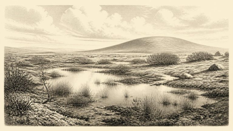
Derryvree was exposed during road works in 1969, when a cutting passed through a drumlin about two kilometres north-east of Maguiresbridge. Beneath the familiar rounded hill was an unusually revealing sequence: a lower sheet of till, freshwater silts and fine sands with organic muds, and an upper sheet of till. Till is the unsorted mixture of clay, stones and other debris laid down by glacier ice. The order of the layers is secure. Ice had occupied the locality; later, fresh water, plants and sediment accumulated in an ice-free interval; then a subsequent glacial advance buried and protected the wetland record.