Membership is completely free, giving members unlimited access to all available resources, services, features, and benefits without any restrictions or fees.
Welcome back. Sign in to continue enjoying unlimited access to all available resources, services, features, and member benefits at no cost.
Radiocarbon years are not calendar years. The quantity of carbon-14 in the atmosphere has altered through time, so laboratory measurements require calibration against independently dated environmental records. Uncertainty is especially substantial beyond 30,000 years ago. At Derryvree, organic silts produced the conventional radiocarbon determination BIRM-166: 30,500 years before present, with an error margin of roughly a thousand years. Modern calibration places the deposit in a broad range of about 36,900–31,700 calibrated years before present, or approximately 34,950–29,750 BCE. The requested date lies within that range, but it must not be mistaken for the date of a particular day, season, flood or human action.
This was not yet the classic Last Glacial Maximum, when the British–Irish Ice Sheet reached its greatest known Late Pleistocene extent, broadly between 26,000 and 20,000 years ago. It was, however, part of the unstable build-up towards that maximum. Recent modelling describes roughly 32,000–23,000 years before present as a period of ice-sheet growth that varied greatly from one sector to another. At about 32,000 years ago, small glaciers or ice caps may have existed on high ground, while the exact extent of larger ice in Ireland remains uncertain. By about 31,000 years ago, model runs produce smaller ice caps in north-west Ireland, followed by rapid growth and merger in later millennia.
In archaeological convention, “before present” means before 1950. The nominal date of 30,128 BCE is therefore roughly 32,077 years before present in simple calendar arithmetic. That calculation must not be confused with a radiocarbon age. The principal Derryvree determination, BIRM-166, was reported as 30,500 radiocarbon years BP, with a substantial error range of +1,170 and −1,030 years. Because radiocarbon years and calendar years diverge markedly this far back, it cannot be converted into a single trustworthy BCE year. Calibration using modern curves indicates a broad span, commonly expressed at approximately 36,900–31,700 calibrated years BP. The numbered year considered here lies within that wide chronological neighbourhood, but cannot be assigned to one plant, pool, animal or layer of sediment.
Derryvree is exceptional because roadworks exposed organic silts and fine sands buried between two thick tills in a Fermanagh drumlin. Till is debris laid down directly by glacier ice. The order of deposits is decisive evidence: ice had occupied the locality; an ice-free or at least locally deglaciated interval then allowed freshwater sediment, plants and insects to accumulate; and ice subsequently returned, sealing the deposit. This is a rare Irish record of life and water during a cold-stage interruption, preserved beneath the later reshaping of the landscape.
MIS 3 was neither a uniformly frozen age nor a stable warm interval. Greenland ice-core records show repeated abrupt shifts between colder stadials and relatively milder interstadials, often on a scale much shorter than archaeological periods. Ireland lay at the Atlantic edge of north-west Europe, exposed to that instability. A temporary amelioration could permit open vegetation, liquid water and animal movement in one locality; renewed cold could transform the same district or bury its deposits beneath ice-derived sediment.
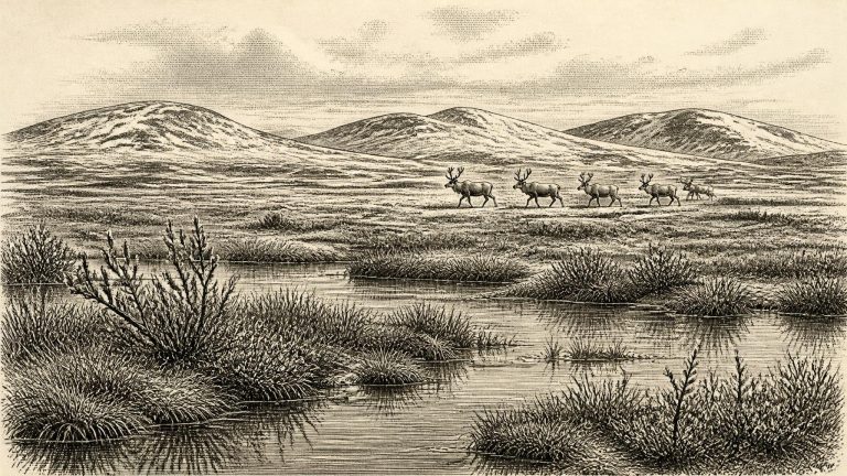
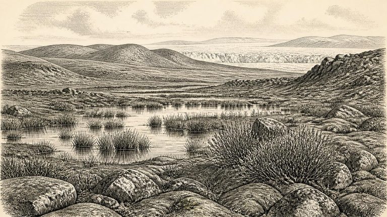
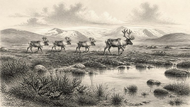
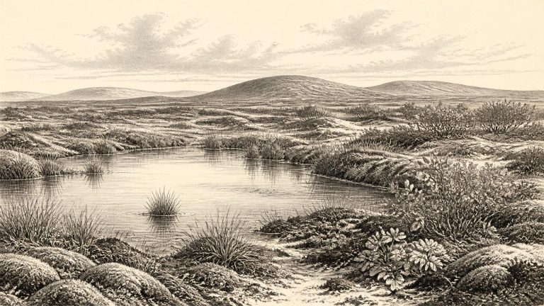
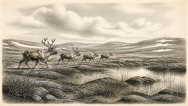
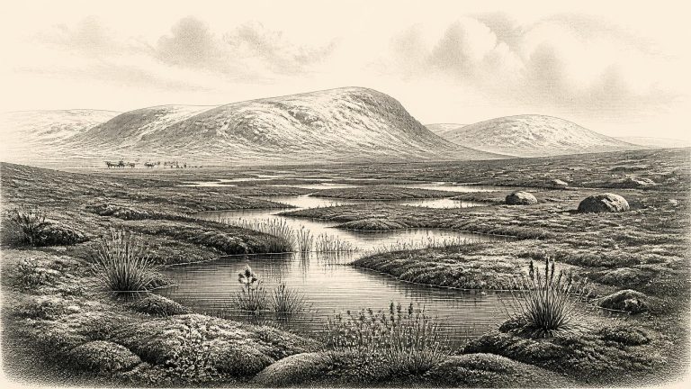
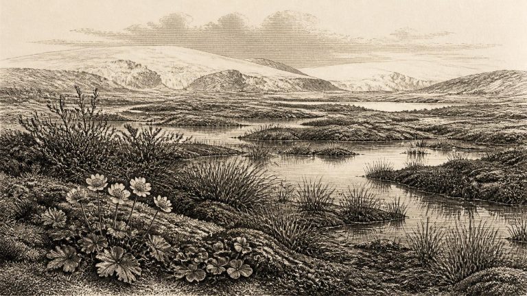
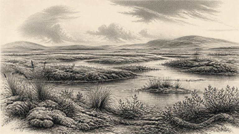
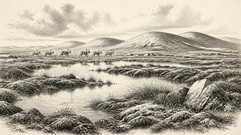
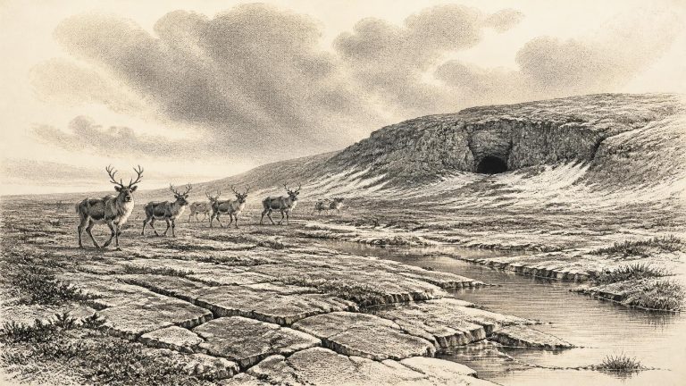
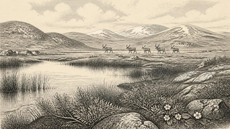
Derryvree gives the clearest Irish evidence for a cold, open environment during the Middle Midlandian, the Irish term commonly used for part of the last glacial cycle. Its pollen, plant macrofossils, mosses and insect remains point to a treeless tundra or tundra-like wetland landscape. Grasses and sedges were important, with herbs, dwarf shrubs and cold-tolerant plants. Recorded remains include buckbean (Menyanthes trifoliata), alternate water-milfoil (Myriophyllum alterniflorum), dwarf willow and lesser clubmoss, alongside a varied moss flora. These were not signs of a lush forested Ireland. They indicate shallow fresh water, sedgy margins, wet ground and sparse vegetation on nearby drier surfaces, all shaped by frost, short growing seasons and periglacial processes.
The Derryvree organic deposit produced the conventional radiocarbon determination BIRM-166 of 30,500 radiocarbon years before present, with an uncertainty of roughly a millennium. “Present” in radiocarbon terminology is AD 1950, and radiocarbon years are not identical to calendar years. Calibration of the result has produced a broad range of approximately 36,900–31,700 calibrated years before present, or roughly 34,950–29,750 BCE. The nominated year lies within that large span, but it cannot be made more exact by simple arithmetic. Calibration curves at this depth in time are uneven, and the deposit itself accumulated over time rather than in a single moment.
The nearest especially informative Irish archive is at Derryvree, near Maguiresbridge in County Fermanagh. Roadworks in 1969 cut through a drumlin and revealed a freshwater sequence of fine sands, silts and organic sediments trapped between two substantial layers of glacial till. The order of those layers is itself crucial evidence: ice had occupied the locality; an interval followed in which water, plants and small animals left remains; then a later advance of glacier ice buried the wetland beneath fresh debris.
Ireland lay within the Midlandian glacial cycle, the Irish term for the last glacial period. This was not one unchanging freeze. Climate shifted sharply over centuries and millennia; glaciers expanded and contracted; and the extent of open ground, snow cover, lakes and wetlands altered accordingly. The Last Glacial Maximum, when ice became most extensive across Ireland, is generally placed later, broadly between about 26,000 and 20,000 calibrated years before present. Around the early thirty-first millennium BCE, that later maximum still lay ahead.
The closest unusually informative Irish archive is at Derryvree, near Maguiresbridge in County Fermanagh. Roadworks in 1969 cut through a drumlin and exposed a remarkable sequence: a lower glacial till, freshwater silts and fine sands containing organic material, and a second thick till above. Till is the mixed debris deposited directly by glacier ice. The order of these layers is strong evidence. Ice had occupied the locality; afterwards, a freshwater and wetland environment developed; later ice advanced across, or at least into, the district and sealed the earlier deposits.
The closest major Irish record is from Derryvree, near Maguiresbridge in County Fermanagh. Roadworks in 1969 cut through a drumlin and exposed a remarkable sequence: freshwater silts and fine sands, rich in organic remains, lay between two distinct layers of glacial till. The lower and upper tills were deposited by ice; the intervening sediments show that, for a time, the locality was not beneath overriding glacier ice.
Ireland’s evidence for this period is exceptionally incomplete. Subsequent ice advances eroded older surfaces, moved sediments and buried earlier landscapes beneath till: the unsorted clay, stones and debris laid down by glaciers. Caves have preserved some animal bones, while rare buried organic layers have survived between glacial deposits. Neither source offers an uninterrupted national record. Rather, each is a local survival from a landscape repeatedly altered by ice, water, frost and time.
“Ice Age” is therefore accurate, but it can mislead if it conjures an island uniformly entombed beneath ice. Glacial climates fluctuated sharply over centuries and millennia, while the British–Irish Ice Sheet advanced, retreated and reorganised in different sectors. Reconstructions of its growth at about 30,000 years ago remain conditional because direct dates are unevenly distributed and many former ice margins now lie offshore. Recent synthesis work shows major ice expansion in the wider British–Irish system between roughly 33,000 and 26,500 years ago, but it does not license a precise map for every Irish valley, coast or season around 30,146 BCE.
The strongest Irish environmental evidence close to this nominal date comes from Derryvree, near Maguiresbridge in County Fermanagh. Roadworks in 1969 cut through a drumlin and revealed freshwater silts and fine sands between two thick beds of till: the unsorted debris laid down directly by glacier ice. The sequence establishes an important order of events. Ice had affected the locality; a period then allowed water, sediment and organic matter to accumulate; and later ice covered and preserved the wetland beneath another till.
Ireland was not the familiar green, wooded island of later prehistory. Nor should it be pictured automatically as a single, motionless white sheet of ice. The last British–Irish Ice Sheet grew and changed asynchronously, with different sectors advancing, thickening or retreating at different times. The major ice-sheet maximum lay later, with ice volume peaking around 23,000 years before present and extensive advance occurring broadly between about 30,000 and 22,000 years ago. Around the date represented here, conditions were therefore severe and changing, but the evidence does not permit a precise map of ice cover for one numbered year.
The relevant broad setting is Marine Isotope Stage 3, a climatically volatile part of the Late Pleistocene before the fullest expansion of the last British–Irish Ice Sheet. Ireland was not the familiar, permanently insular island of later millennia. Lower global sea levels altered coastlines and reduced sea barriers around north-west Europe, although the exact configuration of routes between Ireland, Britain and the continental mainland changed through time and remains a subject of reconstruction. Any movement of animals or people depended on these changing physical conditions. It should not be translated into a simple claim of a permanent land bridge, or of easy travel in every season.
Derryvree was discovered during roadworks in 1969, when a cutting exposed silts and fine sands trapped between two distinct layers of glacial till in a drumlin. The sequence is unusually valuable because it preserves an interval when freshwater and wetland conditions existed in south Fermanagh before a later ice advance sealed the sediments beneath glacial debris. It does not show a permanent, tranquil landscape: the deposits record one episode in a much longer history of climatic swings, freezing ground, changing drainage and moving ice.
The strongest Irish environmental evidence close to this notional date comes from Derryvree near Maguiresbridge, County Fermanagh. Roadworks in 1969 exposed a remarkable sequence beneath a drumlin: an earlier glacial till, then freshwater silts, sands and organic material, followed by a later till. The sequence demonstrates a simple but important fact. Ice had occupied the locality, retreated or ceased to cover it long enough for water, sediment and vegetation to develop, and later returned to bury the whole landscape beneath fresh glacial debris.
Even this apparently exact BCE year must be handled with care. Radiocarbon laboratories report ages in radiocarbon years before present, with “present” conventionally fixed at AD 1950. Those measurements are not calendar years: past atmospheric carbon levels varied, so results need calibration against records such as tree rings, cave deposits, corals and lake sediments. At more than 30,000 years ago, uncertainties are necessarily large. A calibrated age commonly covers centuries or millennia, and a date on a bone indicates when an animal died within such a range, not the precise day when a mark was made on it or when people may have encountered it.
The closest important environmental sequence is at Derryvree, near Maguiresbridge in County Fermanagh. There, roadworks exposed organic freshwater sediments lying between two glacial tills: evidence that a wetland existed during an interval between episodes of ice advance. A radiocarbon determination from the deposit, Birm-166, was reported as 30,500 +1,170/−1,030 radiocarbon years BP. Calibration converts that measurement not into one calendar year, but into a broad probable span, conventionally around 36,900–31,700 calibrated years BP. In BCE terms, that is approximately 34,950–29,750 BCE. Thus 30,159 BCE falls within the wide chronological neighbourhood illuminated by Derryvree, not at a demonstrably dated moment within its sediments.
The nearest unusually informative Irish environmental record comes from Derryvree, near Maguiresbridge in County Fermanagh. Roadworks in 1969 cut through a drumlin and exposed a remarkable succession: a lower glacial till, freshwater silts and fine sands containing organic material, and a later upper till. Till is sediment deposited directly by glacier ice. The sequence demonstrates a local order of events: ice had occupied the site; a period followed in which open water, sediment and plants accumulated; then ice returned and sealed the deposit.
Derryvree is especially important because road works in 1969 cut through a drumlin and exposed a layered sequence that later ice had sealed. Beneath an upper glacial till lay fine sands, silts and organic-rich mud; another till lay below them. Tills are the unsorted debris deposited by glaciers. The order of the layers gives a firm local sequence: ice had affected the site, a freshwater and vegetated environment subsequently existed there, and a later ice advance overrode and buried it.
Derryvree is the essential Irish site for this part of the Pleistocene. Roadworks in 1969 cut through a drumlin, exposing a remarkable sequence. A lower till – unsorted sediment deposited by glacier ice – was overlain by fine sands, freshwater silts and organic material, which were themselves capped by a second, thick till. The order of the deposits is firm even where absolute dates remain broad. Ice had affected the locality; an interval followed in which open water, wet ground and vegetation existed; then later glacier ice advanced across the area and sealed the earlier landscape.
In 1969 roadworks cut through a drumlin at Derryvree. Beneath an upper layer of glacial till lay fine sands, freshwater silts and organic material; below them was another thick till. Till is the unsorted clay, stones and debris deposited by glacier ice. The order of these layers is the important fact. Ice had occupied the Fermanagh locality; an ice-free interval followed, long enough for freshwater sediment and organic remains to build up; then later ice or ice-derived material sealed the deposit beneath another till.
Derryvree is important because its stratigraphy records change in the correct order. Ice deposited the lower till. Later, at least locally, ice was absent long enough for water, fine sediment and organic matter to accumulate. A renewed advance then laid down the upper till, sealing the freshwater deposit beneath a drumlin. This does not prove that all Ireland was ice-free at the same moment. It does demonstrate that part of Fermanagh supported a cold freshwater environment during an interval between major glacial episodes.
The closest important Irish record is at Derryvree, near Maguiresbridge in County Fermanagh. Roadworks in 1969 cut through a drumlin and revealed a remarkable sequence: two thick layers of glacial till, with freshwater silts, fine sands and organic material between them. Till is the unsorted debris left by moving ice. The layered sequence demonstrates that ice had occupied the locality, that an interval followed in which freshwater and vegetation developed, and that a later glacial advance buried and preserved the deposit.
About 30,168 BCE, Ireland was approaching, rather than standing at, the best-known peak of the last glaciation. The Last Glacial Maximum is generally placed later, broadly between about 26,000 and 19,000 years ago, although the growth, thickness and limits of the British–Irish Ice Sheet varied sharply by region. Recent reconstructions emphasise that its advance was asynchronous: some sectors expanded early, others later, and the precise condition of every part of Ireland at any one moment remains unresolved.
The closest important Irish chronological guide is the freshwater deposit discovered at Derryvree, near Maguiresbridge in County Fermanagh. Road excavations in 1969 cut through a drumlin and revealed a remarkable sequence: a lower layer of glacial till, freshwater silts and fine sands containing organic matter, then a second thick till above. Till is the unsorted debris deposited directly by moving ice. The order of these layers securely shows that ice had occupied the locality; that an interval followed when freshwater, sediment and living organisms accumulated on ice-free ground; and that later glacial activity buried the wetland beneath a further deposit.
Radiocarbon determinations are measurements with statistical margins, not entries in an ancient calendar. They must be calibrated because atmospheric carbon levels have altered through time; deposits can also be moved, mixed or reworked by water, animals, frost and ice. Dates expressed as years before present, or as calibrated ranges, are consequently more useful than a single BCE figure. At this depth of time, even well-dated evidence generally describes intervals of centuries or millennia.
The closest Irish evidence to this nominal date comes from several different kinds of archive, each recording something different. At Derryvree near Maguiresbridge in County Fermanagh, organic silts and fine freshwater deposits lay between two bodies of glacial till. A conventional radiocarbon determination, BIRM-166, produced 30,500 radiocarbon years BP, with a large error range of +1,170 and −1,030 years. When calibrated, published discussion places the deposit broadly around 36,900–31,700 cal BP. That broad range overlaps the chronological horizon represented by 30,172 BCE, but it cannot establish that a particular pond, plant or animal existed in that specific calendar year.