Membership is completely free, giving members unlimited access to all available resources, services, features, and benefits without any restrictions or fees.
Welcome back. Sign in to continue enjoying unlimited access to all available resources, services, features, and member benefits at no cost.
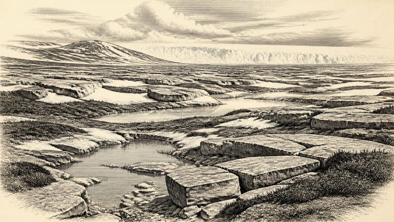
The closest securely relevant environmental sequence is at Derryvree near Maguiresbridge, County Fermanagh. There, roadworks exposed organic silts and fine sands trapped between two layers of glacial till in a drumlin. The order of deposits is crucial. Ice had laid down the lower till; open water, plants and sediment later accumulated without local glacier cover; then a further ice advance sealed the freshwater deposits beneath the upper till. Organic material from this interval produced a conventional radiocarbon determination of 30,500 radiocarbon years before present, with a substantial uncertainty. Calibration gives a broad range of roughly 36,900–31,700 calendar years before present, or approximately 34,950–29,750 BCE.
This was an ice-age Ireland, but not necessarily an island already buried beneath the maximum ice cover familiar from later glacial maps. The most recent large reconstruction of the British–Irish Ice Sheet traces its changing margins in thousand-year steps rather than annual ones. It indicates major growth over the period after c. 31,000 years ago, while evidence from the western shelf and from Ireland itself shows that the timing, thickness and extent of early ice were not uniform in every region. By c. 28,000–26,500 cal BP, ice had expanded to the continental-shelf edge in several western sectors; the full ice-sheet maximum came later still, with different margins reaching their greatest positions at different times.