Dublin Corridors
At a Glance
Programme Scope
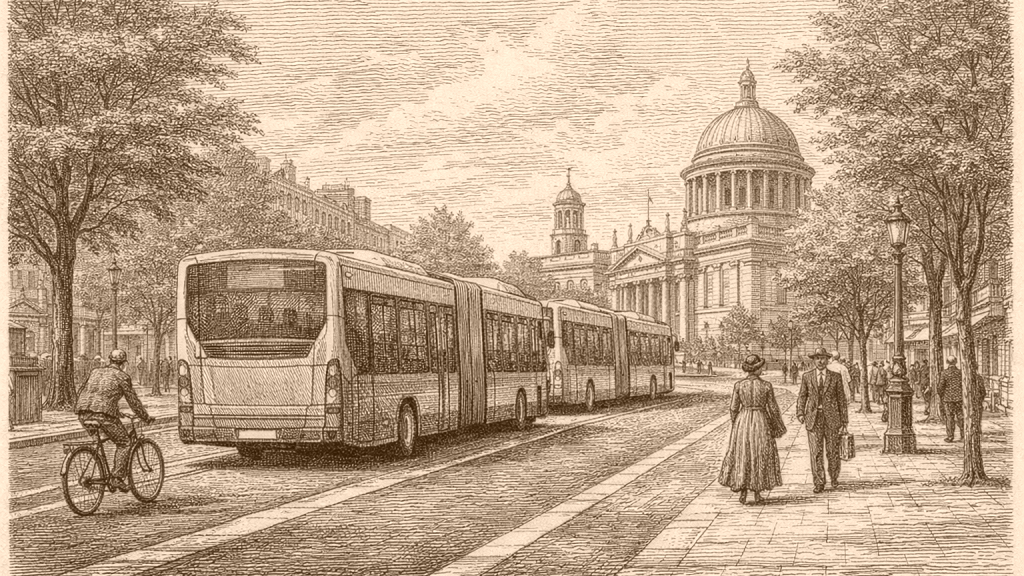
BusConnects Dublin is described as the National Transport Authority’s programme to greatly improve bus services, and as part of a wider BusConnects programme that also operates in Cork, Limerick, Galway, and Waterford. The Dublin programme is identified as the most advanced of the national set. The documents also state that it is funded by Project Ireland 2040 and that it delivers on several policy frameworks named in the materials.
The same material lists eight programme initiatives: redesigning the bus network, building new bus corridors and cycle lanes, changing ticketing and payment systems, introducing a simpler fare structure, new livery, new stops and shelters, and a zero-emissions bus fleet. Another document presents the programme as aiming to connect people and places through an enhanced bus system together with improved cycling and pedestrian facilities. These excerpts show breadth, but not detailed delivery timing for each element.
Corridor Listing
The technical documents page names twelve core bus corridor schemes. They include Clongriffin, Belfield and Blackrock, Blanchardstown, Liffey Valley, Ballymun and Finglas, Lucan, Templeogue and Rathfarnham, Tallaght and Clondalkin, Kimmage, Swords, Bray, and Ringsend. The page also marks some places as parts of wider schemes, showing that the corridor labels combine major town or district names rather than single street routes.
The same list repeats these corridors in different contexts, including downloadable technical reports for specific routes such as Clongriffin, Swords, Ballymun, Finglas to Phibsborough, Blanchardstown, Lucan, and Liffey Valley. The presence of route-selection reports, concept drawings, environmental assessment reports, and junction modelling reports shows a structured document set around corridor development. The excerpts do not provide comparable detail for every corridor, so the level of documentation appears uneven.
Network Context
The background-information page for the new Dublin area bus network lists local-area maps across the city and suburbs, including areas such as Ballymun, Blanchardstown, Clongriffin, Lucan, Rathfarnham, Swords, and Tallaght. It also offers a summary report and a consultation report on the network redesign. This indicates that corridor work sat alongside a broader network reshaping rather than operating as a single isolated intervention.
The same page includes a revised network report and chapters on the bus network redesign, the geometry of useful public transport, and patterns of demand. Those titles show that the redesign was documented through analytical chapters rather than only through maps or brochures. The excerpts do not describe the chapter contents in detail, so only the existence of these themes can be stated with confidence.
Policy Framing
A consultation document for the Greater Dublin Area Transport Strategy states that the Dublin Area bus network carries the highest proportion of public transport trips in the area and will continue to do so for the strategy period. It proposes implementation of the BusConnects programme in full, including the new Dublin Area Bus Service Network and, subject to statutory consents, the twelve core bus corridors. The material thus places BusConnects inside a wider strategic transport framework.
The same strategy chapter also says that additional bus priority on radial corridors may be evaluated, while orbital services may be improved through increased frequencies and bus-priority measures as required. It further mentions a transition to higher-capacity bus vehicles on select corridors later in the strategy period. These are policy statements, not project completion claims, and the excerpt does not identify which corridors would receive each measure.
Document Types
The BusConnects and National Transport pages show a large administrative and technical archive around the Dublin programme. One page lists preferred-route documents and another lists technical documents, while the national transport site also hosts the BusConnects Dublin Preliminary Business Case. The material therefore shows at least three layers of documentation: preferred routes, technical reports, and business-case preparation, though the excerpts do not show the full contents of each file.
Several downloadable formats are visible for some scheme pages, including information brochures, easy-to-read versions, text-only versions, and audio files. The preferred-route page also lists Irish-language brochure versions for multiple corridors. These features suggest a deliberate effort to provide the same scheme information in different formats, but the excerpts do not tell us how widely each format was used by readers.
Project Stage
Later BusConnects material indicates that the Dublin infrastructure project had moved from early design concepts through planning approvals and into construction of the core bus corridors. One 2025 update refers to the first BusConnects Dublin infrastructure project as a growing undertaking and notes that it is reshaping how people move through the city. Another 2026 page says one corridor scheme was the first of the twelve core bus corridor schemes to move into construction, while another had a contract awarded.
The same 2025 update also says the planning and consultation journey had been extensive and that public feedback played a crucial role in shaping final designs. It further mentions planning applications, procurement, and early works, while promising continued public information during construction. These statements describe process and progress, but they do not supply a full timeline for every corridor or any complete accounting of delivery status.