Membership is completely free, giving members unlimited access to all available resources, services, features, and benefits without any restrictions or fees.
Welcome back. Sign in to continue enjoying unlimited access to all available resources, services, features, and member benefits at no cost.
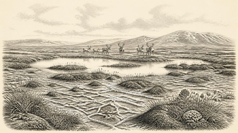
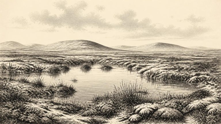
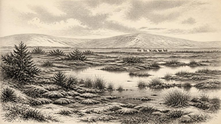
Derryvree was revealed by roadworks in 1969, which cut through a drumlin: a streamlined hill made largely of till, the unsorted mixture of clay, stones and debris left by glacier ice. The exposure showed two thick and distinct till sheets. Between them lay fine sands, freshwater silts and organic deposits. The basic sequence is unusually eloquent. Ice had occupied the locality and deposited the lower till. Later, the site held fresh water and wet ground long enough for sediment, plants and small animals to accumulate. A renewed advance of ice, or at least ice depositing glacial debris, then buried and protected that interval beneath the upper till.
Radiocarbon ages are not calendar dates. They measure remaining radioactive carbon and must be calibrated against independently dated records; beyond 30,000 years ago, the resulting calendar ranges are necessarily broad. The key Irish deposit for this approximate horizon was exposed in 1969 at Derryvree townland, about two kilometres north-east of Maguiresbridge in County Fermanagh. Roadworks cut through a drumlin, revealing freshwater silts and fine sands with organic material trapped between two thick sheets of glacial till. The order of the deposits is clear: ice laid down one till, an ice-free interval allowed water and organic sediment to accumulate, and a later glacier covered the site with another till.
Derryvree is important because it preserves a break in a glacial sequence. The lower till indicates that ice had previously reached the locality. Above it, freshwater sediments accumulated in an ice-free or at least locally deglaciated landscape. The upper till shows that glacier ice later returned. This is powerful evidence against any simple picture of Ireland as continuously buried under one uniform ice sheet throughout the later Ice Age. It also does not establish that the whole island was open at once. Ireland’s ice margins, uplands, lowlands and western marine approaches changed at different times, while later ice erosion destroyed much of the evidence that might have clarified the pattern.