Membership is completely free, giving members unlimited access to all available resources, services, features, and benefits without any restrictions or fees.
Welcome back. Sign in to continue enjoying unlimited access to all available resources, services, features, and member benefits at no cost.
The nearest exceptionally informative evidence comes from County Fermanagh. In 1969, roadworks through a drumlin at Derryvree, near Maguiresbridge, exposed fine sands, silts and organic sediments lying between two thick sheets of glacial till. The sequence is decisive in one limited but important respect: ice had occupied the site, an interval without local glacier cover allowed freshwater deposits and organic matter to accumulate, and ice later returned to bury the landscape.
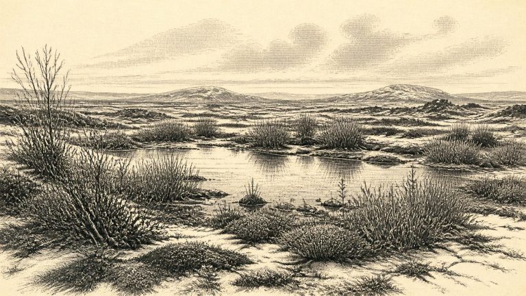
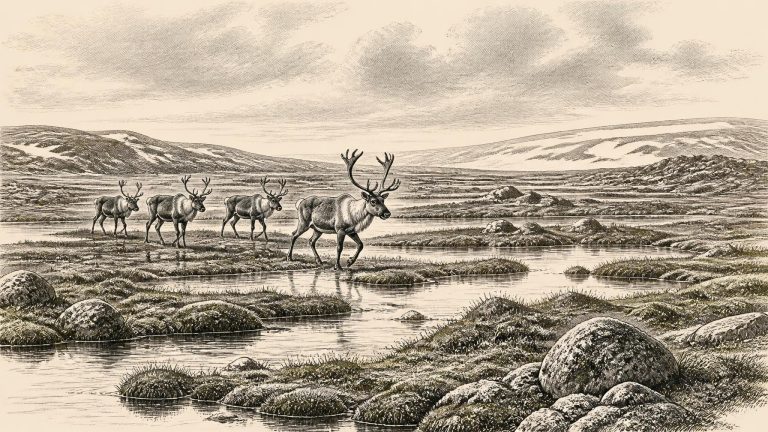
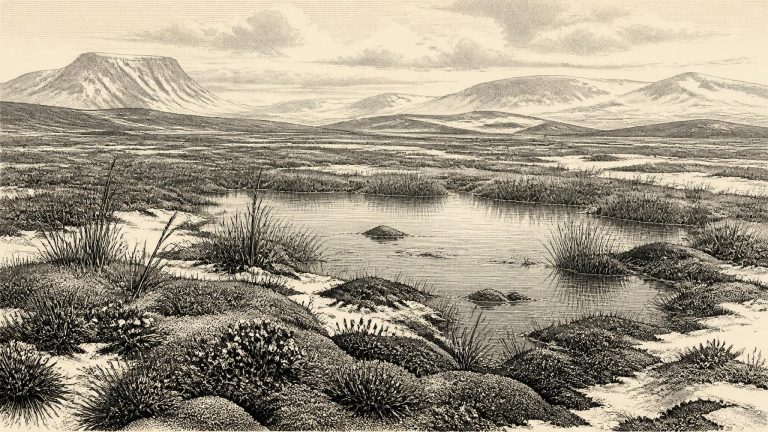
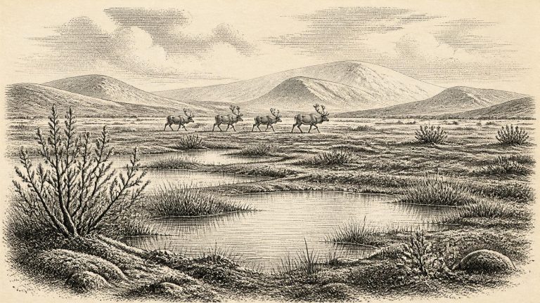
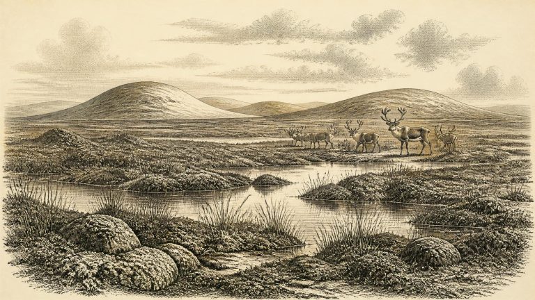
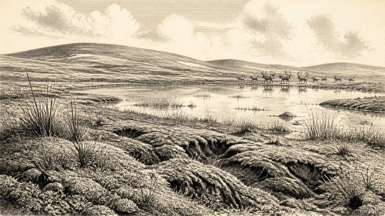
The appropriate question is therefore not ‘what happened in 30,771 BCE?’, but what sort of country could have existed in and around this phase. The answer is qualified. Ireland was not yet the familiar wooded island of later prehistory. Climate, sea level, ice cover and animal distributions changed repeatedly. The British–Irish Ice Sheet was also dynamic rather than a single, static white mass. Recent reconstructions place major ice-sheet growth across Ireland and Britain between about 31,000 and 26,000 years ago, while stressing that regional evidence is uneven and some ice margins remain poorly dated. Around this horizon, parts of the island may have been open ground or wetland, while other districts lay under ice or were affected by its proximity.
The best Irish evidence close to this period comes from Derryvree, near Maguiresbridge in County Fermanagh, and from the nearby Hollymount sequence. Roadworks exposed a drumlin containing freshwater silts and fine sands enclosed between two thick, distinct layers of till: the unsorted debris deposited by glacier ice. The basic order is secure. Ice had occupied the locality and left the lower till; a later non-glacial interval allowed waterborne sediment and organic remains to build up; then renewed ice advance buried the deposit beneath upper till. That is an unusually valuable record of environmental change, even if it is not a diary of events.
At this depth of time, radiocarbon dates must be distinguished from calendar dates. A laboratory result is expressed in radiocarbon years before present (BP), with “present” conventionally fixed at 1950; it then requires calibration against independently dated records such as tree rings, cave deposits, corals and lake sediments. The modern IntCal20 calibration curve reaches back to 55,000 calibrated years BP, but the uncertainty remains substantial in the age range relevant here. A date from one organic deposit cannot establish what occurred across all Ireland, still less in one named year.
The relevant archaeological and environmental period is Marine Isotope Stage 3, a long and climatically unstable portion of the last Ice Age. It preceded the fullest expansion of the last British–Irish Ice Sheet, conventionally placed much later, during the global Last Glacial Maximum. Ireland at this earlier horizon was not simply an island entombed beneath a uniform ice cap. Its conditions varied by region and through time: there were advancing or surviving ice masses, periglacial ground subject to deep frost, and areas where water, vegetation and animals persisted.
Radiocarbon dates are not calendar dates in themselves. The concentration of radioactive carbon in the atmosphere has varied over time, and especially so during the Pleistocene. Dates must therefore be calibrated against internationally maintained curves, including IntCal20. At around 30,000 radiocarbon years ago the relationship between radiocarbon age and calendar age is particularly complex. A result may calibrate to a broad range, sometimes with several possible intervals. Stratigraphy—the physical order of layers—remains as important as the numerical determination.
The key local archive is in south Fermanagh, near Maguiresbridge. Roadworks at Derryvree exposed freshwater silts and fine sands sealed between glacial deposits within a drumlin landscape. Such a sequence matters because the organic-rich sediments were laid down during an interval when this ground was not overridden by ice; later ice deposited till above them. A radiocarbon determination of about 30,500 years before present was obtained from the Derryvree material. Calibrated chronologies place the deposit broadly within about 36,900 to 31,700 calendar years before present, a range that encompasses the modern calendar label 31,774 BCE.