Membership is completely free, giving members unlimited access to all available resources, services, features, and benefits without any restrictions or fees.
Welcome back. Sign in to continue enjoying unlimited access to all available resources, services, features, and member benefits at no cost.
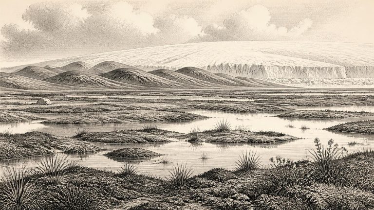
The important development was not a political change but a physical one: the increasing dominance of ice. Snow accumulated in the uplands, glaciers enlarged and ice began to join across low ground and marine channels. The advance was neither uniform nor simple. Ice divides, flow directions and margins shifted as regional ice masses interacted with bedrock topography, sea level and climate. In northern Ireland, the growing ice was connected to the wider system developing in western Scotland; the North Channel was becoming an arena of glacial movement rather than a stable modern-style seaway. Farther south, the available reconstruction suggests separate ice caps and more local glaciers, not an island instantly buried beneath one unchanging sheet.
The period should not be confused with the global Last Glacial Maximum, usually dated to about 26,500–19,000 years ago. Around 33,500 calibrated years ago, that maximum still lay in the future. Yet the British–Irish Ice Sheet was already growing and reorganising. The timing of its expansion was not uniform: mountain ice, Scottish-sourced ice, Irish ice centres and marine outlets developed at different rates. Reconstructions now treat the ice sheet as dynamic rather than as a single frozen cap that appeared everywhere at once. This matters greatly for Ireland, where the difference between an ice-covered district, a periglacial plain and an offshore ice margin could be only a few generations or a few tens of kilometres, while the available dates may carry much wider uncertainty.