The Doneraile Cave Fauna30222 BCE
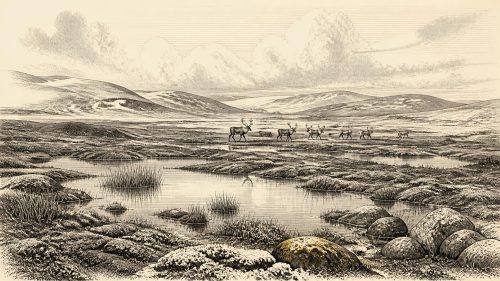
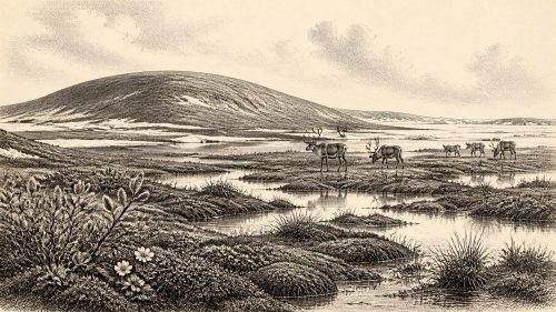
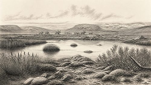
Around 30,222 BCE, Ireland was a climatically unstable Late Pleistocene landscape, not a place recoverable through annual history. Derryvree, County Fermanagh, preserves freshwater organic deposits between glacial tills, proving an ice-free wetland interval but not settlement. Reconstructions indicate shifting British–Irish ice masses, producing a mosaic of ice, open ground, wetlands and changing coasts. Castlepook Cave near Doneraile yielded cold-stage fauna including mammoth, reindeer, giant deer, bears and hyaenas, though its bones span millennia and cannot date a single community. A modified reindeer bone may indicate early human activity, but permanent occupation remains unproven. Environmental records transformation; human narratives remain inaccessible.
Dateline
The label 30,222 BCE gives a useful position in a modern timeline, but it cannot identify a recoverable Irish year. No written calendar, annual settlement layer, named individual or datable event survives from this depth of time. In proleptic calendar arithmetic it lies about 32,171 years before AD 1950, the reference year used for “BP” dating; archaeologically, however, it belongs to a broad Late Pleistocene interval within Marine Isotope Stage 3, not to a particular season or generation. Radiocarbon ages must be calibrated because atmospheric carbon-14 has varied, and calibration produces probability ranges rather than a single modern calendar equivalent.
Ireland around this nominal date must therefore be approached through environmental deposits, cave-bone collections, glacial landforms and laboratory measurements. These records are powerful but uneven. They demonstrate that landscapes, water, ice and animals changed across millennia; they rarely allow historians to say what happened at one place in one year. The strongest responsible account is consequently one of a cold, unstable island-margin landscape in which ice, open ground, wetlands and animal corridors shifted through time.
A Freshwater Interval at Derryvree
The closest major Irish chronological anchor is the Derryvree sequence near Maguiresbridge, County Fermanagh. Roadworks exposed organic silts and fine sands between two separate bodies of till, the unsorted sediment laid down directly by glacier ice. The sequence establishes a secure relative order: ice affected the locality; an interval followed in which freshwater and organic sediment accumulated; then later ice or glacial sediment sealed that former wetland beneath a further till layer. It is among the most important pieces of evidence that parts of Ireland were not continuously ice-covered throughout the last cold stage.
Organic material from the freshwater bed produced radiocarbon determination BIRM-166, conventionally reported as 30,500 radiocarbon years BP, with an uncertainty of roughly a thousand years. It is not permissible simply to call this “30,500 BCE”. A later compilation gives an indicative calibrated range of about 36,900–31,700 calibrated years BP, approximately 34,950–29,750 BCE. Thus 30,222 BCE falls within the broad late part of the range that can frame the deposit, but the deposit is not an annual archive and cannot be assigned to that precise year. Its value is environmental: it records a cold, treeless freshwater or muskeg-like setting during an interval between glacial episodes.
The Derryvree evidence should not be enlarged into a picture of a settled Fermanagh community. It supports the presence of water, wet ground and vegetation capable of leaving organic remains, not houses, hearths, tools or people. Yet it complicates any simple image of an Ireland permanently buried beneath ice. In at least one northern basin, for a substantial but indeterminately long period, a living freshwater environment existed before later ice sealed it. That stratigraphic fact is firmer than attempts to attach a precise climate phase or a named human population to it.
Ice in Growth and Motion
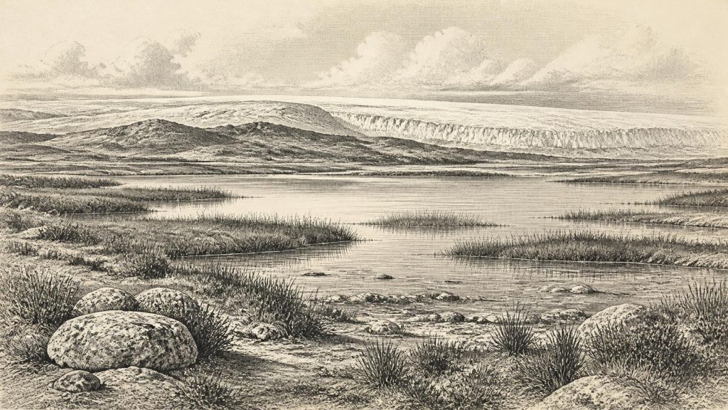
The wider setting was an Ice Age world in transition. Modern reconstruction of the British–Irish Ice Sheet shows rapid expansion after about 31,000 years ago, with separate ice masses increasingly merging. By about 30,000 years ago the reconstruction identifies major ice centres over Northern Ireland and ice caps in southern Ireland; by 29,000 years ago, ice had expanded farther south. But this is a regional reconstruction assembled from landforms, sediments, dating and modelling, not a survey conducted in the year 30,222 BCE. The extent and behaviour of ice before the Last Glacial Maximum remain less securely known than the later maximum and retreat.
This uncertainty matters. At the nominated date, Ireland may best be envisaged not as a uniform white island but as a changing mosaic: extensive ice in some regions, periglacial or ice-free terrain in others, and marine margins influenced by changing sea level, calving ice and sediment-laden meltwater. The Irish Sea and Atlantic shelf were not a straightforward highway for travel. Any route from Britain or continental Europe depended on terrain that could include sea, ice, exposed shelf, river systems and dangerous glacial margins. The evidence does not permit a confident map of crossings or a claim of a continuous land bridge.
Animals and the Cave Record
County Cork supplies the richest Irish evidence for the animal world leading towards the Last Glacial Maximum. Castlepook Cave, near Doneraile, is a limestone maze cave whose excavated deposits produced more than 2,000 bones. The collection includes woolly mammoth, giant deer, reindeer, brown bear and spotted hyaena, with later Ice Age material also including lemmings, Arctic fox and wolf. These remains establish that Ireland supported, or at least received, a far more varied cold-stage mammal fauna than the later wooded island familiar from the Mesolithic onward.
Nevertheless, the cave is not a neatly dated census. Its material spans a long interval, official geological documentation placing dated individual bones between roughly 45,700 and 19,950 years BP. Water movement, repeated use of the cave and the collecting methods of early twentieth-century excavators have blurred associations between bones and layers. A list of species from Castlepook does not prove that every species lived together, occupied the cave simultaneously, or was alive around 30,222 BCE. Hyaenas may have brought carcass parts into the cave; bears, carnivores, water and later disturbance could all have shaped the assemblage.
Recent redating has made the caution sharper rather than less important. Improved bone-dating methods produced Castlepook ages between about 5,000 and 12,000 radiocarbon years older than some earlier results. The revised study suggests that giant deer and spotted hyaena may have disappeared locally before about 40,000 calibrated years BP. Accordingly, mammoth, reindeer and hyaena should not be deployed as decorative cast members in an imagined scene set at this exact nominal date. The evidence shows shifting faunal communities through Marine Isotope Stage 3; it does not furnish an exact wildlife calendar.
The Human Question
Castlepook is also central to the unresolved question of an Upper Palaeolithic human presence in Ireland. A reindeer femur from the older collection has been reported as bearing a deep modification interpreted as a stone-tool cut made during fresh-bone processing. If that interpretation is sustained, it would indicate a human visit or episode of carcass processing vastly earlier than the once accepted post-glacial settlement record. It would be an important revision, placing Ireland within the far north-western reach of European hunter-gatherer movement during the Ice Age.
But a single modified bone cannot carry the weight of a complete social history. It is not a sealed occupation surface with a hearth, flint assemblage, dwelling, human remains or a concentration of similarly modified bones. It cannot establish whether people killed the animal, scavenged it, remained for hours or weeks, travelled in a small party, returned repeatedly, or founded any enduring population. Excavation and reassessment at Castlepook have specifically sought further evidence such as lithics, charcoal, art and additional modified bone; the need for that work demonstrates how incomplete the case remains. The responsible conclusion is that very early human activity is possible and potentially significant, but permanent occupation at this time is unproven.
No Polities, No Proven Trade
There were no Irish kingdoms, borders, chiefs, treaties or diplomatic institutions that can responsibly be described for this period. Nor is there evidence for a local political community at Derryvree or Doneraile. Terms such as “Ireland” and “Irish” are geographical conveniences here, not identities held by people living in the Late Pleistocene. Even if small hunter-gatherer groups reached the island, their language, kinship arrangements, beliefs and relationships with groups elsewhere cannot be recovered from the present evidence.
The same restraint applies to economy and trade. The ecological record suggests resources that mobile foragers elsewhere in Upper Palaeolithic Europe could exploit: animal carcasses, hides, bone, antler, freshwater and seasonal plant foods. That comparison may help explain why a reindeer-processing interpretation is plausible, but it is not direct evidence for an Irish hunting economy. No securely dated Irish camp, quarry, exchange network, boat, worked flint industry or store of food belongs to this horizon. There is likewise no basis for claiming ritual practice, art, formal learning or a religious landscape in Ireland around the nominated year.
An Island of Evidence, Not Certainty
The most important development around this broad point in time was environmental rather than political: Ireland lay within a climatically volatile North Atlantic zone while ice sheets were growing and reconfiguring. Freshwater sediment at Derryvree proves that an ice-free wetland interval occurred in Fermanagh before later glacial burial. Castlepook demonstrates that cold-stage animals, including large herbivores and predators, were present in southern Ireland across a long and complicated period. Together they show regional variety rather than an island frozen into a single condition.
The landscape that later generations would inherit was already being remade. Advancing and retreating ice eroded bedrock, moved sediment, altered drainage and helped create the drumlin, basin and coastal patterns through which much later Irish history would unfold. Yet the people, communities and stories normally expected in a year-by-year history remain beyond reach. For 30,222 BCE, the honest record is not silence but disciplined limitation: buried wetland mud, cave bones, radiocarbon ranges and glacial deposits reveal an Ireland alive with environmental change, while withholding the exact human narrative that later periods can provide.
Primary Sources
- A Reconsideration of the Radiocarbon Dating of the Marine Isotope Stage 3 Fauna from Southern Ireland
- Growth and Retreat of the Last British–Irish Ice Sheet, 31,000 to 15,000 Years Ago: the BRITICE-CHRONO Reconstruction
- The Timing and Magnitude of the British–Irish Ice Sheet Between Marine Isotope Stages 5d and 2
- Timing and Pace of Ice-Sheet Withdrawal Across the Marine–Terrestrial Transition West of Ireland During the Last Glaciation
- Castlepook Cave: County Geological Site Report
- The Irish Quaternary Fauna Project
- New Insights on the Fauna of Ireland’s Younger Dryas and Early Holocene from Alice & Gwendoline Cave
- 2022:564 – Castlepook Cave, Castlepook South, Cork
- Archaeology Research Excavation Grant 2022: Final Report
- Figure 6: The Subdivision of the Quaternary Period in Ireland
- References and Recommended Reading: Irish Quaternary Association Guide
- The Glacial Stratigraphy of the Sperrin Mountains and Its Relation to the Glacial Stratigraphy of North-West Ireland
- Exploring Controls of the Early and Stepped Deglaciation on the Western Margin of the British Irish Ice Sheet
- Stratigraphic and Palaeo-Geomorphological Evidence for the Glacial-Deglacial History of the Last British-Irish Ice Sheet in the North-Western Irish Sea
- Character of Advance and Retreat of the Southwest Sector of the British-Irish Ice Sheet During the Last Glaciation
- Pattern and Timing of Retreat of the Last British-Irish Ice Sheet
- Deglaciation Chronology of the Donegal Ice Centre, North-West Ireland
- First Evidence of a Late Upper Palaeolithic Human Presence in Ireland
- The IntCal20 Northern Hemisphere Radiocarbon Age Calibration Curve (0–55 cal kBP)
- A Middle Midlandian Freshwater Series at Derryvree, Maguiresbridge, County Fermanagh, Northern Ireland