Membership is completely free, giving members unlimited access to all available resources, services, features, and benefits without any restrictions or fees.
Welcome back. Sign in to continue enjoying unlimited access to all available resources, services, features, and member benefits at no cost.
Archaeologists and Quaternary scientists date this era through radiocarbon, stratigraphy, pollen, plant macrofossils, animal remains and the relationship of deposits to glacial tills. Each method has limits. Radiocarbon ages are conventionally reported in years BP, meaning before AD 1950, and are not identical to calendar years. They must be calibrated against curves that model past fluctuations in atmospheric carbon-14. At around 30,000 radiocarbon years BP, the calibrated result is a broad range rather than a pinpoint; the range may shift as calibration datasets and statistical choices improve.
The closest major Irish archive is at Derryvree, near Maguiresbridge in County Fermanagh. Roadworks in 1969 cut through a drumlin and exposed organic silts and fine sands trapped between two thick layers of glacial till. The deposit was remarkable because later ice had sealed, rather than entirely removed, a former freshwater environment. Eric Colhoun, James Dickson, A. M. McCabe and Frederick Shotton published its principal radiocarbon determination as Birm-166: 30,500 radiocarbon years before present, with a substantial uncertainty of +1,170 and −1,030 years.
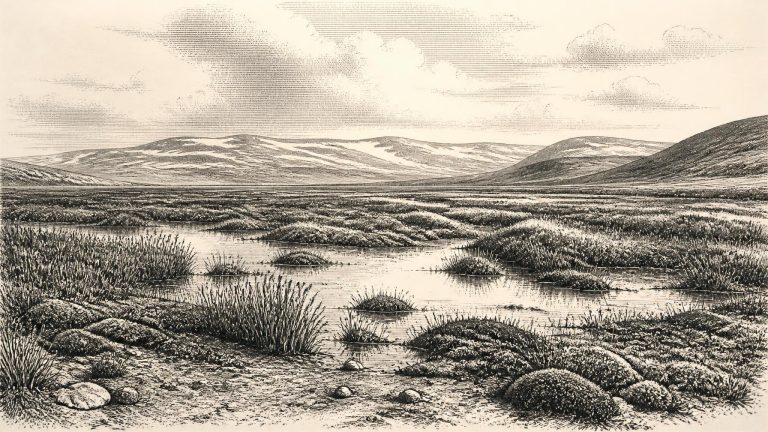
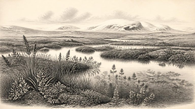
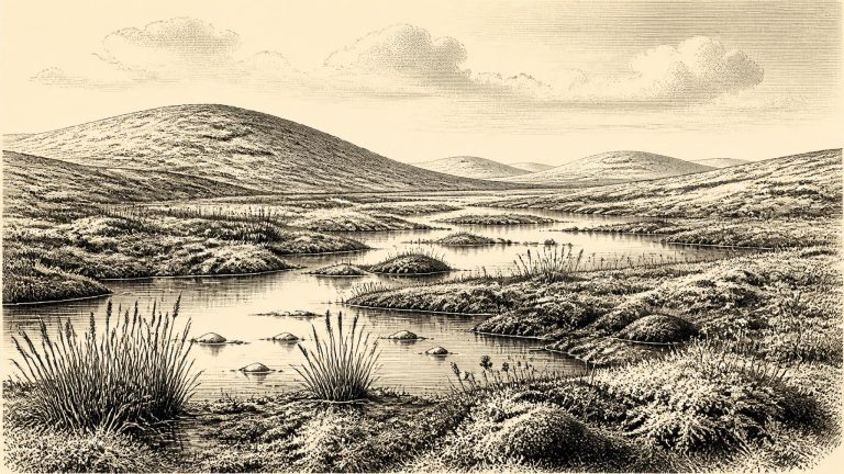
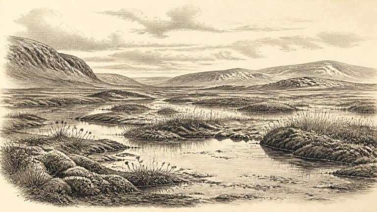
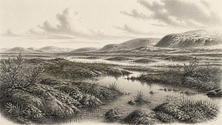
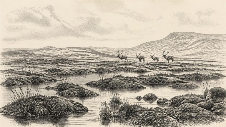
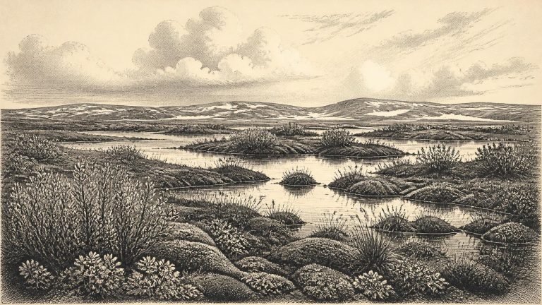
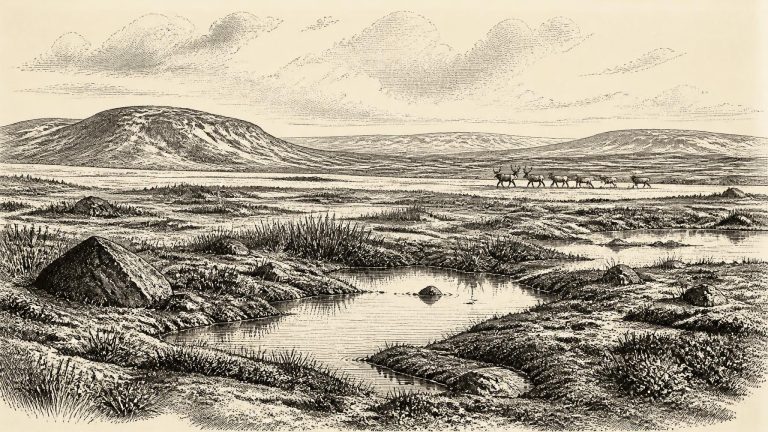
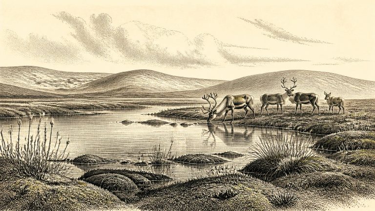
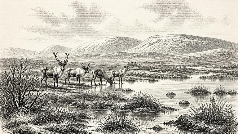
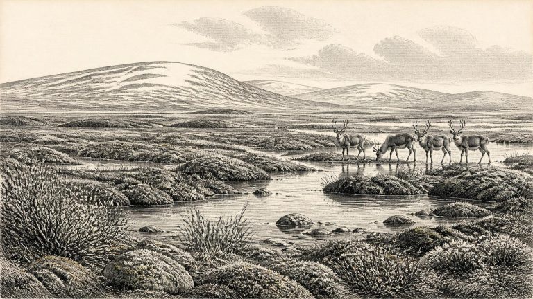
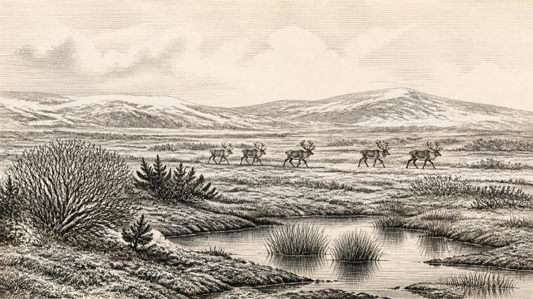
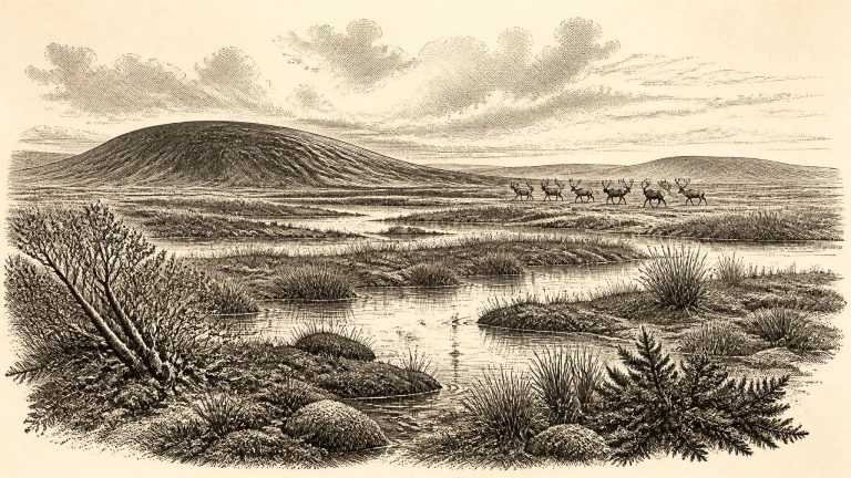
Derryvree offers unusually direct evidence that this part of Ireland was, at least for a time, not continuously buried beneath ice. The organic silts were laid down in freshwater conditions between episodes that deposited glacier-borne debris. Their plant and animal remains indicate open tundra and a periglacial regime: ground subject to intense frost, seasonal thaw and cold-water sediment movement. This was not a forested Ireland, nor a benign “warm interval” in a modern sense. It was a severe, treeless landscape in which pools, wet hollows and sedge- and moss-rich ground could nevertheless sustain a specialised living community.
Road works in 1969 exposed the Derryvree sequence in a north-east to south-west drumlin. Beneath the landform lay a lower till, deposited by glacier ice; above it were freshwater silts and fine sands rich in organic material; above those came a second, thick till. The order is decisive. Ice had occupied the site, then an ice-free or at least locally ice-free interval allowed freshwater sediment to collect, and renewed glaciation later buried the wetland. This is direct stratigraphic evidence for change, not simply an inference from the modern landscape.
The position of the Derryvree deposit is its most decisive feature. A lower till indicates an earlier glacial occupation of the site. Above it lies the freshwater sequence, formed when ice no longer covered this part of south Fermanagh and water, sediments, plants and insects accumulated. An upper till records a later return of glacier ice. The sequence establishes a local non-glacial interval between advances, preserved because subsequent ice buried rather than entirely eroded it.
Derryvree is exceptional because later ice preserved rather than entirely erased a brief environmental archive. Roadworks cut through a drumlin and exposed a sequence in which organic-rich freshwater silts and fine sands lay between two thick deposits of till, the unsorted debris left directly by glacier ice. The order is clear even where the absolute chronology remains broad: ice had occupied the locality; a colder but non-glacial interval then allowed water, sediment and organic matter to accumulate; later ice covered and sealed the deposits.
Derryvree was exposed by roadworks in 1969, when a cutting passed through a drumlin: an elongated hill shaped from glacial sediment. Investigators found silts, fine sands and organic muds sandwiched between two thick layers of till, the unsorted debris left by glacier ice. The sequence is unusually eloquent. Ice had previously occupied the site; then water and vegetation accumulated in an ice-free hollow; later, advancing ice buried the deposit beneath a second till.
The best Irish evidence relevant to this broad period comes not from a settlement but from deposits exposed at Derryvree, near Maguiresbridge in County Fermanagh. Roadworks in 1969 cut through a drumlin and revealed a remarkable sequence: one thick layer of till, laid down beneath glacier ice; freshwater silts and fine sands with organic remains; and a second till above them. The order of those layers is secure. Ice had occupied the locality, then a non-glacial interval permitted a wetland or shallow-water environment to form, and later ice overrode and sealed it. It is precisely this burial that preserved a fleeting environmental record which might otherwise have vanished.
Derryvree is valuable precisely because its sequence is physical rather than speculative. Till is debris laid down by glacier ice: a mixture of clay, sand, stones and boulders. The freshwater deposits above the older till demonstrate an interval in which the locality was free from overriding ice long enough for water and organic matter to accumulate. The later till records renewed glacial expansion. The site is therefore a rare Irish archive of change within the cold stage, preserved beneath the landscape-shaping action of the last Irish Ice Sheet.
Ireland was then within the Midlandian cold stage, the last great glacial cycle in Irish geological terminology. It was not yet necessarily the fully ice-covered island familiar from reconstructions of the Last Glacial Maximum, whose maximum expansion is generally placed much later, around 27,000–23,000 calibrated years ago. The pre-maximum history remains difficult to reconstruct: ice sheets could advance, thin, fragment and re-form in response to abrupt North Atlantic climatic shifts, while conditions differed sharply between uplands, lowlands, coasts and the surrounding seas. It is consequently unsafe to draw a single ice margin across the whole island for 31,185 BCE. What can be said is that parts of Ireland preserved evidence for ice-free or seasonally exposed ground during this broader interval, before later glaciation overran and transformed much of the landscape.
The closest well-dated Irish environmental evidence comes from Derryvree, near Maguiresbridge in County Fermanagh. Roadworks in 1969 cut through a drumlin and revealed freshwater silts and fine sands trapped between two thick sheets of glacial till. The deposit is exceptionally valuable because it demonstrates an interval in which this locality was not overridden by ice: water, sediment and vegetation accumulated before a later ice advance sealed the evidence. A conventional radiocarbon determination, BIRM-166, was reported as 30,500 +1,170/−1,030 radiocarbon years BP. Later calibration places the organic deposit broadly within about 36,900–31,700 calibrated years BP, a span that includes the notional year considered here.
Derryvree demonstrates that northern Ireland was not simply a permanent white void throughout the last glacial cycle. At the time represented by its freshwater beds, standing or slowly moving water occupied a hollow in an open, cold landscape. Pollen, plant macrofossils, mosses and insect remains accumulated in mud before a later ice advance buried the site. These remains are direct evidence for a functioning wetland ecosystem; the wider reconstruction of its appearance and climate is interpretation, albeit interpretation grounded in several independent kinds of evidence.
The most illuminating Irish evidence near this horizon comes from Derryvree, near Maguiresbridge in County Fermanagh. Roadworks in 1969 cut through a drumlin and exposed a remarkable sequence: freshwater silts and fine sands containing organic remains lay between two thick sheets of till, the unsorted sediment left by glacier ice. The central deposit was assigned the laboratory number BIRM-166 and produced a conventional radiocarbon age of 30,500 years before present, with an uncertainty of roughly a millennium either side. Published calibrated treatments place the episode broadly within about 36,900–31,700 calendar years before present.
The Irish name for the last major glacial episode is the Midlandian glaciation. Around the requested date, the British–Irish Ice Sheet was not yet necessarily at its single, universally simultaneous maximum. Modern reconstructions instead show a complicated and asynchronous growth of ice between roughly 35,000–32,000 and 27,000–21,000 years ago, with different sectors advancing, stabilising or retreating at different times. In the Irish Sea sector, substantial expansion is placed broadly between about 30,000 and 26,000 years ago. The global Last Glacial Maximum came later, conventionally about 26,500–19,000 years ago.
Ireland was part of a North Atlantic world in which climate changed sharply over millennia and sometimes more abruptly. MIS 3 preceded the Last Glacial Maximum, the later phase when the British–Irish Ice Sheet expanded most extensively across Ireland and its continental shelf. Yet it would be misleading to imagine a simple progression from a green island to uniform ice. Glaciers advanced and retreated at different times in different regions. Areas of ice, bare periglacial ground, waterlogged hollows, river valleys and cave country could coexist within a shifting landscape.
“31,416 BCE” is a modern conversion, useful for arranging a year-by-year archive but misleading if treated as a precise prehistoric timestamp. Radiocarbon years are not the same as calendar years, because atmospheric carbon levels have varied through time. Calibration curves convert radiocarbon determinations into probability ranges, and those ranges widen greatly at this depth. Stratigraphy adds another scale of uncertainty: a deposit may represent years, centuries or longer, while its fossils can have been moved before burial.
The most relevant Irish evidence comes from Derryvree near Maguiresbridge in County Fermanagh. Roadworks exposed a remarkable sequence inside a drumlin: freshwater sands, silts and organic mud lay between two deposits of till, the unsorted material left by glacier ice. The order is decisive. Ice had occupied the area, then water and vegetation accumulated in a locally ice-free landscape, before a later glacial advance sealed the deposit beneath fresh till. This small survival is exceptionally valuable because later glaciers destroyed or buried so much older evidence across Ireland.
The key chronological warning concerns scale. Organic material from the Derryvree freshwater deposits produced a conventional radiocarbon determination of 30,500 ± 1,170 radiocarbon years BP. When considered through modern calibration, this represents a broad calendar range, approximately 36,900–31,700 calibrated years BP, or about 34,950–29,750 BCE. The notional year 31,440 BCE falls within that wide span, but the deposit cannot tell us what happened in that particular year. Calibration is essential because atmospheric radiocarbon levels changed through time; at these great ages, results are necessarily broader than familiar historical dates.
In 1969, road cutting at Derryvree exposed a remarkable sequence through a drumlin. A lower till, deposited by glacier ice, lay beneath sands, silts and organic layers; another till sealed the sequence above. Between two advances of ice, therefore, there had been a period in which freshwater accumulated and plants, mosses and insects left remains. The principal radiocarbon determination from the organic deposit was 30,500 +1,170/−1,030 radiocarbon years BP. Modern calibration does not convert this into one simple BCE year: it produces a broad range, and calibration uncertainty is especially important at this age. The deposit is nevertheless directly relevant to the environmental setting around the requested date.
The nearest Irish chronological anchors are not historical events but deposits. At Derryvree near Maguiresbridge in County Fermanagh, road works exposed freshwater silts and fine sands buried between two tills beneath a drumlin. The organic layer, catalogued as BIRM-166, produced a conventional radiocarbon determination of 30,500 +1,170/−1,030 BP. Such a result is not identical to calendar years: calibration converts radiocarbon measurements into probability ranges, and the old sample’s uncertainty is substantial. In broad calibrated terms, the deposit belongs to the later part of Marine Isotope Stage 3, approximately the mid-30,000s to low-30,000s cal BP.
The best direct environmental evidence comes from Derryvree, near Maguiresbridge in County Fermanagh. Roadworks in 1969 cut through a drumlin and exposed organic silts and fine sands lying between two distinct tills: unsorted sediments deposited by glacier ice. The sequence is valuable because it records a clear order of events. Ice deposited the lower till; a period without local glacier cover allowed freshwater sediment, plants and insects to accumulate; and a later ice advance sealed the deposit beneath another till.
Ireland at this point was not the familiar green, wooded island of later prehistory. It belonged to the Middle Midlandian, or middle part of the last glacial period. Yet it should not simply be imagined as a country buried uniformly beneath ice. Ice expanded and contracted over long timescales, while climate swung abruptly between colder stadials and relatively milder interstadials. Conditions differed sharply by region, elevation and season. The later Last Glacial Maximum, when an extensive Irish Ice Sheet covered much of the island and adjacent continental shelf, still lay ahead. Around this notional year, parts of Ireland could support ice-free ground, freshwater and animal life, even as glaciers and ice sheets shaped other districts and threatened to advance again.
“Midlandian” is the Irish term for the last glacial stage. It should not be imagined as one unbroken age of ice. Climate and ice margins altered repeatedly over millennia. The global Last Glacial Maximum, when the British–Irish Ice Sheet attained its greatest overall extent, belongs chiefly to a later period. Recent ice-sheet synthesis places maximum ice volume at about 23,000 years BP, while showing that different sectors advanced and retreated at different times. For the earlier span around 33,400 BP, researchers expressly acknowledge substantial uncertainty about where ice lay in every region at every moment.
Ireland’s evidence for this interval is unusually sparse and difficult. Later ice sheets eroded, displaced and buried earlier ground surfaces; rising seas then submerged much of the former coastal plain. What remains is scattered among cave deposits, sediments sealed beneath glacial tills, fossil plants and insects, animal bones, and mineral layers in caves. These records do not describe the same day, locality or population. Their value lies in combination: they demonstrate that parts of Ireland could sustain life during cold phases before the Last Glacial Maximum, while also showing how incomplete the surviving archive is.
Modern calendar precision is unavailable. Even a very good radiocarbon result represents a probability range, not an anniversary; calibration converts radiocarbon years into ranges of calendar years using independently dated records of past atmospheric carbon. The margins become wider and more consequential beyond 30,000 years ago. Older Irish cave discoveries were also excavated before modern expectations of fine stratigraphic recording, systematic sieving and contamination control. A bone’s age may be measured, but that does not automatically establish the date at which it entered a cave, nor the age of every object recovered nearby.
The closest unusually informative Irish environmental record is not a settlement but a buried freshwater deposit at Derryvree, near Maguiresbridge in County Fermanagh. Road-cutting in 1969 exposed fine sands and organic silts enclosed between two thick deposits of glacial till within a drumlin. The lower and upper tills show that ice occupied the locality before and after the freshwater interval. Organic material from the silts produced the conventional radiocarbon determination BIRM-166, 30,500 ± 1,100 radiocarbon years BP. Subsequent calibration has placed it broadly between about 36,900 and 31,700 calendar years BP. That wide span includes the modern filing-date of 31,503 BCE, but does not demonstrate that the bed formed in that particular year.
31,507 BCE is a modern chronological label, not a year that anyone in Ireland could have named, recorded or remembered. No writing, calendar, ruler, polity or historical community can be recovered from the island at this depth of time. In the archaeological convention of years before present, whose reference point is AD 1950, it lies about 33,456 years BP. That places it in the Late Pleistocene, within Marine Isotope Stage 3 (MIS 3), a long, climatically unstable part of the last Ice Age. It does not permit a year-by-year narrative in the ordinary historical sense.
There are no chronicles, people’s names, settlements, burials, tools securely associated with a living surface, or works of art from Ireland that can be assigned to this point. Terms such as government, diplomacy and religion therefore cannot be filled with imagined equivalents of later Irish history. No polity, territorial boundary, alliance or battle is recoverable. Nor is there evidence for a permanent human population. This is not an empty page, however. It is a period illuminated by geological sections, preserved pollen and plant remains, insects, and animal bones from caves. Such evidence describes habitats and animal movements more securely than it describes human lives.
The closest important Irish environmental record is at Derryvree, near Maguiresbridge in County Fermanagh. Roadworks through a drumlin exposed freshwater silts and fine sands trapped between two distinct layers of glacial till. Their organic material produced the conventional radiocarbon determination BIRM-166: 30,500 radiocarbon years BP, with a substantial uncertainty range. Radiocarbon years are not calendar years. Because atmospheric carbon-14 has varied over time, such measurements must be calibrated against independently dated records; calibration also produces ranges rather than a single pinpoint date.
Ireland was not yet the island familiar today. Sea level was far lower than now because immense quantities of water were held in northern ice sheets. The coastlines lay well beyond their modern positions, exposing parts of the continental shelf and altering routes between Ireland, Britain and mainland Europe. Yet a lower sea did not necessarily mean a simple, continuous land bridge available at every moment. Glaciers, rivers, marshes, sea channels and shifting shorelines made the geography of movement complicated. Any people or animals reaching Ireland did so within a north-west European world whose physical connections changed repeatedly.