Episodic Glaciation30650 BCE
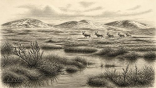
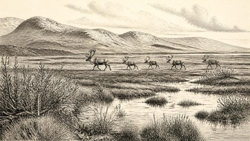
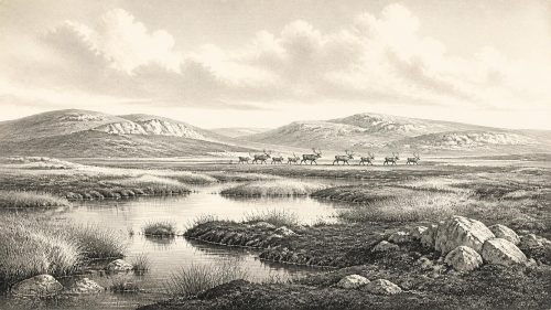
Around 30,650 BCE, Ireland lay within the climatically unstable Late Pleistocene, not a period of recorded history. Inter-till freshwater deposits at Derryvree, County Fermanagh, demonstrate an ice-free interval between glacial advances, when cold open wetlands supported mosses, sedges and insects. Comparable deposits confirm episodic glaciation in northern Ireland. Castlepook Cave, County Cork, preserves evidence of diverse Ice Age fauna, including mammoth, reindeer, giant deer, bears and hyaenas, though species did not necessarily coexist. No securely dated human settlement exists for this date. Possible modified bones suggest occasional human access, but permanent occupation remains unproven amid changing ice, water and habitats.
Dateline
30,650 BCE is a modern chronological label, not a year that can be recovered from an Irish historical record. No people in Ireland counted years in this way; there are no written sources, named leaders, settlements or events that can be assigned to a particular season, let alone a particular year. The responsible approach is to place the date within a broad archaeological and environmental interval. It falls about 32,600 years before AD 1950, the conventional ‘present’ used in radiocarbon work, during the Late Pleistocene and Marine Isotope Stage 3: a climatically unstable phase of the last Ice Age before the fullest expansion of the British–Irish Ice Sheet.
The closest Irish evidence is not a camp, grave or monument. It is a buried freshwater deposit at Derryvree, near Maguiresbridge in County Fermanagh. Its value is exceptional precisely because it records a living landscape caught between two episodes of glaciation. That record can illuminate the world around this notional date, but it cannot be made to yield a diary of 30,650 BCE.
A Date Within a Wide Range
During roadworks in 1969, a section through a drumlin at Derryvree exposed a remarkable sequence. A thick lower till — unsorted debris laid down directly by glacier ice — was overlain by fine sands, silts and organic freshwater deposits. These in turn lay beneath a second thick till. The order of deposits is clear: ice had occupied the site; an ice-free interval followed, in which water and organic material accumulated; then ice returned and sealed the wetland.
Organic material from the intervening sediments produced the radiocarbon determination BIRM-166, conventionally reported as 30,500 radiocarbon years before present, with an uncertainty of roughly a millennium. A radiocarbon age is not identical to a calendar age, because atmospheric carbon-14 concentrations have varied through time. Modern calibration therefore gives broad probability ranges rather than an exact calendar conversion. The Derryvree horizon is commonly placed approximately between 36,900 and 31,700 calibrated years before present, or about 34,950–29,750 BCE. The notional date of 30,650 BCE lies within that span, but it cannot be attached to a particular layer, plant, animal, generation or event.
That distinction matters. The Derryvree sequence demonstrates conditions over a considerable interval in north-central Ireland; it does not prove that every part of the island shared the same environment at the same time. Nor should its cold wetland be imagined as an unchanging landscape. Marine Isotope Stage 3 was marked around the North Atlantic by abrupt climatic shifts, and ice margins, snow cover, vegetation and drainage could alter substantially over centuries or even shorter periods.
Fresh Water Between the Ice
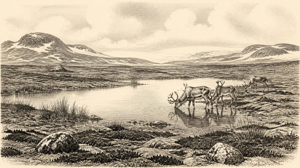
The direct evidence from Derryvree is palaeoenvironmental. Freshwater mosses and sedges survived in the organic beds, while insect remains indicate cold conditions of northern aspect. Together with the fine sediments, they show that standing or slowly moving fresh water occupied the locality during the interval between ice advances. This was not woodland, farmland or peat bog in the modern Irish sense. It was a cold, open wetland set within a periglacial landscape: ground affected by freeze-thaw processes and shaped by a climate close to an advancing or retreating ice-sheet world.
Such evidence corrects a misleadingly simple image of Ice Age Ireland as either wholly frozen or wholly hospitable. At Derryvree, there was sufficient ice-free ground and liquid water for aquatic and wetland life to persist. Yet the enclosing tills testify to the fragility of that opportunity. A freshwater basin could form where ice withdrew, sediment could accumulate, and a later advance could entomb the evidence beneath glacial debris. Similar inter-till organic deposits at Hollymount near Maguiresbridge and at Greenagho near Belcoo reinforce the wider point that northern Ireland experienced episodic glaciation and non-glacial intervals rather than a single, static blanket of ice.
The landscape beyond the wet ground was probably predominantly treeless or very sparsely wooded, though a single Fermanagh exposure cannot supply a complete map of the island’s vegetation. Open herb-rich ground, sedges, mosses and low-growing cold-adapted plants would have offered a patchwork of forage and shelter. In this setting, water was especially important: a place where plants rooted, insects bred, animals drank and sediments quietly preserved evidence that exposed ground has largely lost.
Animals in a Changing Country
Southern Ireland provides a complementary, though differently formed, archive. Castlepook Cave near Doneraile in north County Cork has produced more than 2,000 bones and is Ireland’s richest known vertebrate assemblage for the period leading towards the Last Glacial Maximum. Its Ice Age fauna includes woolly mammoth, giant deer, reindeer, brown bear and spotted hyaena; later cold-phase deposits include Arctic fox, wolf, Norwegian lemming and collared lemming.
These finds establish that Ireland could support, or at least receive, a far more varied cold-stage fauna than the modern island. They should not, however, be assembled into an imagined procession crossing Derryvree in 30,650 BCE. Castlepook accumulated bones over a long period: individual specimens have yielded dates ranging from about 45,700 to 19,950 radiocarbon years before present. Carnivores, water movement and earlier excavation have complicated the deposits. A species list proves presence at some point within that long span, not that every species lived together, nor that any animal occupied a particular Fermanagh wetland in the same century.
Nevertheless, the combined evidence suggests an ecologically productive but demanding landscape. Large herbivores such as reindeer, mammoth and giant deer would have depended on open vegetation. Predators and scavengers, including wolves and hyaenas, followed animal resources and could themselves transport bones into caves. Cave assemblages are therefore records not only of animals alive on the landscape but of death, scavenging, denning, flooding and geological disturbance.
People: Possibility, Not Settlement
There is no securely dated settlement, hearth, stone-tool assemblage or human burial in Ireland that can be assigned to 30,650 BCE. Consequently, it would be wrong to describe a local population, tribe, language, political order or religious tradition. No evidence supports an Irish chiefdom, warfare, diplomacy, trade network, permanent village or ceremonial site at this date. The absence of such evidence does not prove that no person ever reached the island during this long interval, but it sets firm limits on historical reconstruction.
Castlepook Cave has sharpened the question. A reindeer bone from the cave has been reported as bearing deep marks interpreted as possible fresh-bone butchery marks made with a stone tool, and work associated with the Castlepook Cave Project has identified other potentially modified bones. If that interpretation is confirmed by further analysis and securely tied to the dated animal, it would be evidence that people handled animal remains in Ice Age Ireland far earlier than the island’s once conventional archaeological starting point. It would not demonstrate a permanent settlement, a named cultural group, or a continuous population.
The caution is especially necessary because Castlepook’s deposits have a complex history. Bones could have been moved by hyaenas, water or excavation; the cave records multiple periods; and no associated occupation surface has yet supplied the expected suite of artefacts, charcoal and stratified domestic debris. The most that can responsibly be said for 30,650 BCE is that the climatic and faunal evidence makes occasional human access conceivable, while the archaeological case remains unproven for this particular point in time.
Routes, Resources and Silence
Lower global sea levels changed the geography of north-west Europe, but they did not automatically create a simple land bridge from Ireland to Britain or continental Europe. The Irish Sea basin, shifting coastlines, marine channels and ice margins would have made access variable and hazardous. Any human visitors, if present, would have required detailed knowledge of weather, terrain, animal movement and suitable stone. These are reasonable inferences from Upper Palaeolithic lifeways elsewhere in Europe, not direct evidence for a community at Derryvree.
For the same reason, neither economy nor exchange can be reconstructed as an Irish fact for this date. There is no identified Irish quarrying, craft production, food-storage facility or imported object. Nor is there evidence for art, ritual, burial practice or formal learning. The most meaningful ‘culture’ visible here is scientific rather than prehistoric: the culture of careful reading through sediment, pollen, plant remains, insects, animal bone, stratigraphy and calibrated chronologies.
An Archive, Not an Anniversary
The significance of 30,650 BCE in Irish history lies in this constrained but important picture. Derryvree shows that, during a broad Middle Midlandian interval, cold freshwater habitats existed between phases of glaciation in what is now County Fermanagh. Castlepook shows that a striking Ice Age fauna occurred in Ireland over parts of the same long climatic world. Together, they reveal an island of local ecological openings amid profound environmental instability.
This was not yet the familiar Ireland of farms, monuments, kingdoms or written memory. It was a changing Pleistocene terrain in which ice, water, plants and animals left intermittent traces, while any human story remains at the edge of detection. The buried wetland at Derryvree is therefore more valuable than an invented event: it is genuine evidence of an Irish landscape that later ice almost erased.
Source References
Hover over a number to see the source. Select it to open the source.

- [1] A Middle Midlandian Freshwater Series at Derryvree, Maguiresbridge, County Fermanagh, Northern Ireland
- [2] Early Midlandian–Middle Midlandian, Pleistocene, Northern Ireland
- [3] Middle Midlandian Interstadial Deposits at Greenagho, Near Belcoo, County Fermanagh, Northern Ireland
- [4] Freshwater Organic Deposits and Stratified Sediments Between Early and Late Midlandian (Devensian) Till Sheets, at Aghnadarragh, County Antrim, Northern Ireland
- [5] The Irish Quaternary Fauna Project
- [6] A Reconsideration of the Radiocarbon Dating of the Marine Isotope Stage 3 Fauna from Southern Ireland
- [7] Castlepook Cave: County Geological Site Report
- [8] Archaeology Research Excavation Grant 2022: Final Report
- [9] The Archaeological Heritage of County Cork
- [10] New Insights on the Fauna of Ireland’s Younger Dryas and Early Holocene from Alice & Gwendoline Cave
- [11] The Timing and Magnitude of the British–Irish Ice Sheet Between Marine Isotope Stages 5d and 2
- [12] Advance and Retreat of the Marine-Terminating Irish Sea Ice Stream into the Celtic Sea During the Last Glacial
- [13] Growth and Retreat of the Last British–Irish Ice Sheet, 31,000 to 15,000 Years Ago: the BRITICE-CHRONO Reconstruction
- [14] BRITICE-CHRONO Maps and GIS Data of the Last British-Irish Ice Sheet 31 to 15 ka
- [15] A Stratigraphic Framework for Abrupt Climatic Changes During the Last Glacial Period Based on Three Synchronized Greenland Ice-Core Records
- [16] The IntCal20 Northern Hemisphere Radiocarbon Age Calibration Curve (0–55 cal kBP)
- [17] The IntCal20 Approach to Radiocarbon Calibration Curve Construction: A New Methodology Using Bayesian Splines and Errors-in-Variables
- [18] Figure 6: The Subdivision of the Quaternary Period in Ireland
- [19] The Geological Heritage of County Leitrim
- [20] Pleistocene Vertebrates in the British Isles
Primary Sources
- A Middle Midlandian Freshwater Series at Derryvree, Maguiresbridge, County Fermanagh, Northern Ireland
- Early Midlandian–Middle Midlandian, Pleistocene, Northern Ireland
- Middle Midlandian Interstadial Deposits at Greenagho, Near Belcoo, County Fermanagh, Northern Ireland
- Freshwater Organic Deposits and Stratified Sediments Between Early and Late Midlandian (Devensian) Till Sheets, at Aghnadarragh, County Antrim, Northern Ireland
- The Irish Quaternary Fauna Project
- A Reconsideration of the Radiocarbon Dating of the Marine Isotope Stage 3 Fauna from Southern Ireland
- Castlepook Cave: County Geological Site Report
- Archaeology Research Excavation Grant 2022: Final Report
- The Archaeological Heritage of County Cork
- New Insights on the Fauna of Ireland’s Younger Dryas and Early Holocene from Alice & Gwendoline Cave
- The Timing and Magnitude of the British–Irish Ice Sheet Between Marine Isotope Stages 5d and 2
- Advance and Retreat of the Marine-Terminating Irish Sea Ice Stream into the Celtic Sea During the Last Glacial
- Growth and Retreat of the Last British–Irish Ice Sheet, 31,000 to 15,000 Years Ago: the BRITICE-CHRONO Reconstruction
- BRITICE-CHRONO Maps and GIS Data of the Last British-Irish Ice Sheet 31 to 15 ka
- A Stratigraphic Framework for Abrupt Climatic Changes During the Last Glacial Period Based on Three Synchronized Greenland Ice-Core Records
- The IntCal20 Northern Hemisphere Radiocarbon Age Calibration Curve (0–55 cal kBP)
- The IntCal20 Approach to Radiocarbon Calibration Curve Construction: A New Methodology Using Bayesian Splines and Errors-in-Variables
- Figure 6: The Subdivision of the Quaternary Period in Ireland
- The Geological Heritage of County Leitrim
- Pleistocene Vertebrates in the British Isles