BIRM-166’s Ice-Free Fermanagh30165 BCE
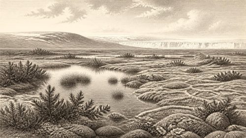
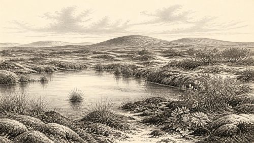
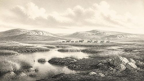
Around 30,165 BCE, Ireland’s history is reconstructed from deposits rather than annual records. At Derryvree, County Fermanagh, freshwater sediments between glacial tills show a locally ice-free, cold wetland interval during MIS 3, supporting tundra-like vegetation, insects and shallow-water habitats before renewed glaciation. This evidence does not establish island-wide conditions. Castlepook Cave, County Cork, preserves MIS 3 fauna including mammoth, reindeer, hyaena and giant deer, demonstrating changing animal communities. A possibly tool-marked reindeer bone may indicate human handling, but cannot prove settlement or continuous occupation. Ireland remained environmentally variable as the more extensive Last Glacial Maximum ice advanced over coming millennia.
Dateline
Modern calendar-year precision is not available for Ireland in 30,165 BCE. There was no written record, no calendar used on the island, and no archaeological sequence capable of identifying a particular year, season or generation. The date is therefore a modern reference point: approximately 32,100 calendar years before AD 1950, within the Late Pleistocene and Marine Isotope Stage 3 (MIS 3). The responsible history of Ireland at this depth in time is a history of deposits, fossils and probability ranges rather than named events.
The most relevant evidence is not a settlement, a ruler or a battle. It is an organic layer exposed at Derryvree near Maguiresbridge, County Fermanagh: freshwater silts and fine sands preserved between two thick layers of till, the debris deposited by glacier ice. The sample known as BIRM-166 produced a conventional radiocarbon age of 30,500 ± 1,100 radiocarbon years BP. Calibration and later modelling place the deposit broadly within later MIS 3, with estimates extending across a wide span of roughly 37,000 to 31,700 calendar years BP and a modelled central estimate around 33,500 years ago. Such ranges, not a single calendar year, are the proper chronology. The nominal year considered here lies close to the younger part of this evidence, but cannot be treated as the date of any one layer, creature or occurrence.
A Wetland Between Ice Advances
Derryvree is important because its stratigraphy records change in the correct order. Ice deposited the lower till. Later, at least locally, ice was absent long enough for water, fine sediment and organic matter to accumulate. A renewed advance then laid down the upper till, sealing the freshwater deposit beneath a drumlin. This does not prove that all Ireland was ice-free at the same moment. It does demonstrate that part of Fermanagh supported a cold freshwater environment during an interval between major glacial episodes.
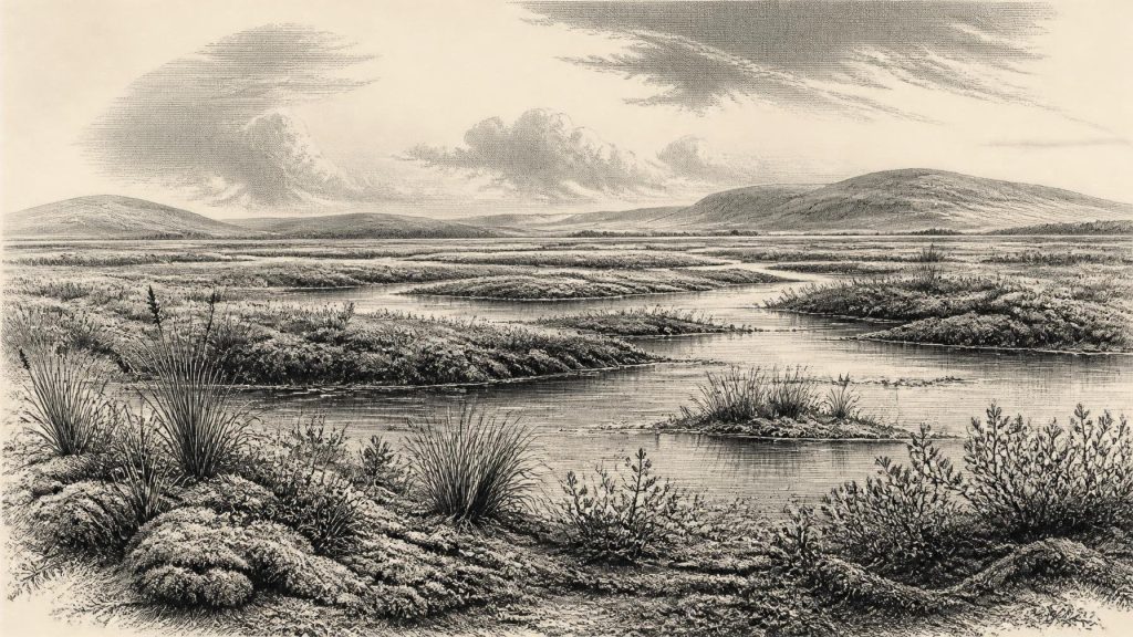
The sediment preserved pollen, plant macrofossils, mosses and insects. Together they indicate open, treeless ground with shallow water, wet margins and a strongly periglacial climate. Sedges, grasses, herbs and low shrubs occupied the landscape; remains attributed to bogbean, mountain avens, dwarf willow and lesser clubmoss point to cold, damp niches. Aquatic plants, including alternate water-milfoil, and insects associated with freshwater and plant-rich ground show that pools and saturated margins were living habitats rather than sterile ice-front wastes.
“Tundra” is a useful short description, but it needs care. The evidence comes from one low-lying wetland, not from a complete survey of the island. It supports a mosaic of mossy, sedgy and watery ground under cold, highly seasonal conditions, not a uniform modern Arctic landscape. Pollen can travel far, plant remains can be reworked, and an insect assemblage describes habitats near the sampled deposit rather than the whole of Ireland. Even so, Derryvree provides unusually direct evidence that life persisted in sheltered, ice-free localities amid climatic instability.
At the Edge of a Growing Ice Sheet
Ireland was part of the wider British–Irish Ice Sheet system, whose growth and retreat were not synchronous in every region. Modern reconstructions show that the last ice sheet expanded and reached maximum limits at different times in different sectors. Its fullest Last Glacial Maximum extent is generally placed later, about 27,000–23,000 calendar years BP in Ireland and on the surrounding shelf. Around the notional date of 30,165 BCE, therefore, the island should not be pictured simply as either wholly ice-covered or wholly free of ice. The available evidence instead points to regional variation, prior advances, local ice-free intervals and an approaching phase of more extensive glaciation.
The two tills at Derryvree preserve that complexity. The older one shows that glacier ice had already affected the area; the younger one shows that ice returned after the wetland interval. Yet the precise size, thickness and margins of the ice sheet at any particular point around 32,100 years ago remain uncertain. Later glaciers eroded or buried much of the earlier record. A careful account must distinguish the observation—organic freshwater sediments between tills—from the broader interpretation that Fermanagh experienced a cold, ice-free interlude before renewed glaciation.
Sea level was much lower than today because large volumes of water were held in northern ice sheets. The coastlines and shallow seas around Ireland were consequently very different, but the Irish Sea was not necessarily a reliable, continuously dry route for people or animals. Ice, water, changing shorelines and seasonal conditions all mattered. There is no securely documented route, crossing or migration event that can be assigned to this particular date.
Animals in the Southern Caves
Other evidence comes from Castlepook Cave near Doneraile in north County Cork, a limestone cave whose deposits and old collections preserve remains from more than one prehistoric period. Reassessment using improved radiocarbon methods has shown that some earlier determinations substantially underestimated the age of the cave’s MIS 3 fauna. The assemblage includes animals now absent from Ireland, among them spotted hyaena, woolly mammoth, giant deer, reindeer, brown bear, wolf, Arctic fox, mountain hare and lemmings. Their presence establishes that, during parts of MIS 3, Ireland formed part of a wider north-west European world of mobile large mammals and cold-adapted small fauna.
That list should not be converted into a single imagined scene for 30,165 BCE. Cave deposits are often time-averaged. Carnivores may carry bones into caves; burrowing, water movement, excavation history and the mixing of sediments can all complicate associations. One species may have occupied the landscape centuries or millennia apart from another. Castlepook is powerful evidence for changing animal communities, but not a census of one valley on one day.
A reindeer femur from Castlepook has attracted particular attention because it bears a deep linear mark interpreted by zooarchaeologist Ruth Carden as potentially made by a sharp stone tool on fresh bone. County Cork heritage material presents the object as dating to about 31,000 BCE. If the mark is confirmed as human-made and closely associated with the age of the bone, it would be exceptionally early evidence for human handling of an animal in Ireland. It does not, however, demonstrate a permanent settlement, a hunting camp, a particular technology or a continuous population. No securely associated hearth, stone-tool assemblage, dwelling floor, burial or human remains of comparable age has been published from the site.
People: Possibility, Not a Polity
The human story at this date must consequently remain modest. It is possible that highly mobile Upper Palaeolithic people entered Ireland during favourable intervals, perhaps following animal movements or exploiting coastal and riverine landscapes. The modified reindeer bone makes that possibility harder to dismiss than it once was. But the Irish record does not yet establish how often people came, from where, whether they travelled in family groups, or whether they stayed beyond a short visit.
There is no evidence for a named people, territory, chief, state, alliance, diplomacy, war or formal political institution. Nor is there evidence for houses, villages, farming, stored harvests, markets or regular trade networks in Ireland at this time. Hunting and scavenging are reasonable possibilities only in the restricted sense that a possible cut-marked bone may record carcass processing. We cannot responsibly assign particular prey, weapons, routes, exchange goods or seasonal practices to an otherwise undocumented community.
Religion, art, language and learning are equally beyond recovery in an Irish-specific sense. People elsewhere in Upper Palaeolithic Europe made ornaments, images and sophisticated stone tools, but evidence from neighbouring regions cannot be used as proof that identical practices occurred in Ireland. Knowledge certainly existed wherever people travelled: reading animal behaviour, weather, stone and terrain required skill. Yet no Irish object from around this date securely reveals a ritual, teaching tradition or artistic programme.
An Island of Fragments
The most important development around this notional year was environmental rather than political. Ireland was a changing cold-world landscape, where ice advanced and retreated unevenly, wetlands briefly accumulated biological evidence, and animal populations appeared and disappeared across a geographically shifting island. Derryvree’s moss-rich freshwater sediments show that severe conditions could still support a functioning ecosystem. Castlepook’s fauna shows that larger mammals reached southern Ireland during the broader MIS 3 interval. Together, they replace an older image of an entirely lifeless, permanently frozen island with a more complex one.
They also underline how much remains unknown. The deposits cannot supply an annual narrative, and the possible human trace cannot bear the weight of a story about Ireland’s first inhabitants. For 30,165 BCE, the strongest historical conclusion is both precise and limited: parts of Ireland’s record preserve evidence of cold, open and locally wet environments during late MIS 3, before the more extensive glaciation of the Last Glacial Maximum; animals moved through those environments; and human presence remains an important but still unresolved possibility.
Primary Sources
- A Middle Midlandian Freshwater Series at Derryvree, Maguiresbridge, County Fermanagh, Northern Ireland
- A Reconsideration of the Radiocarbon Dating of the Marine Isotope Stage 3 Fauna from Southern Ireland
- The Irish Quaternary Fauna Project
- Figure 6—The Subdivision of the Quaternary Period in Ireland
- South Fermanagh, Northern Ireland
- Quaternary Site Descriptions
- Heritage Artefacts of County Cork
- Growth and Retreat of the Last British–Irish Ice Sheet, 31,000 to 15,000 Years Ago: the BRITICE-CHRONO Reconstruction
- The Timing and Magnitude of the British–Irish Ice Sheet Between Marine Isotope Stages 5d and 2
- Deglaciation Chronology of the Donegal Ice Centre, North-West Ireland
- Trimlines, Blockfields and the Vertical Extent of the Last Ice Sheet in Southern Ireland
- Dimensions and Chronology of the Last Ice Sheet in Western Ireland
- Radiocarbon Constraints on the Age of the Maximum Advance of the British–Irish Ice Sheet in the Celtic Sea
- Stratigraphic and Palaeo-Geomorphological Evidence for the Glacial-Deglacial History of the Last British-Irish Ice Sheet in the North-Western Irish Sea
- Exploring Controls of the Early and Stepped Deglaciation on the Western Margin of the Last British–Irish Ice Sheet
- The Colonization of Ireland: A Human Ecology Perspective
- New Insights on the Fauna of Ireland's Younger Dryas and Early Holocene from Alice & Gwendoline Cave
- Investigating Seasonal Mobility in Irish Giant Deer (Megaloceros giganteus)
- Irish Fauna: Ground Floor
- Ice Age Ireland