Derryvree Bogbean31840 BCE
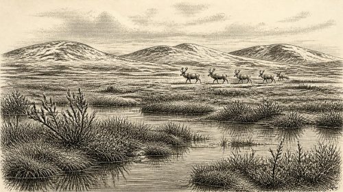
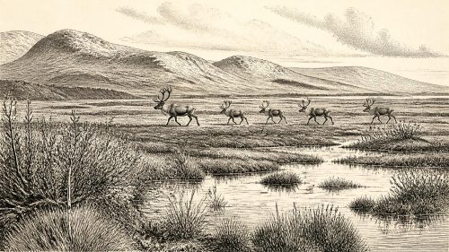
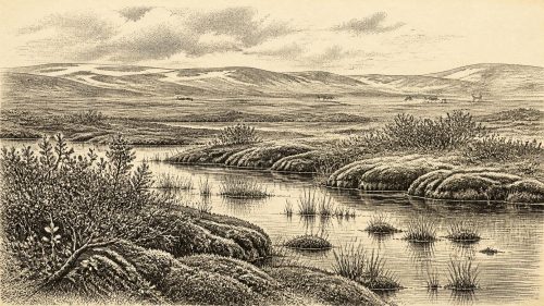
Labelled 31,840 BCE, this period in Ireland belongs broadly to the climatically variable later Marine Isotope Stage 3, not to a recoverable historical year. Derryvree, County Fermanagh, preserves freshwater silts between glacial tills, indicating an ice-free interval of cold, treeless, waterlogged tundra with bogbean, mosses, sedges and other plants. Cave finds in southern Ireland show Ice-Age fauna including mammoth, reindeer, giant deer, bears, Arctic foxes and hyaenas, though their dates and contexts vary. Possible human evidence remains inconclusive. Later glaciation transformed and erased much evidence, leaving environmental records rather than evidence of settlement, politics, economy or culture by people locally.
Dateline
31,840 BCE is a modern numerical label, not a year that can be recovered from Ireland’s prehistoric record. No Irish calendar, written account, named ruler, settlement, journey or conflict can be assigned to it. At this depth of time, responsible history works with broad archaeological and environmental intervals. The date falls roughly 33,790 years before the conventional radiocarbon reference year of 1950, in the later part of Marine Isotope Stage 3 (MIS 3), a long and climatically variable phase of the last glacial period. It was before the Last Glacial Maximum, when ice later reached its greatest extent across Ireland and the surrounding seas.
The best Irish evidence relevant to this broad period comes not from monuments or tools, but from buried sediments, fossils and landforms. It provides a vivid but incomplete view of an island repeatedly reshaped by cold, ice, water and shifting sea levels. Around the modern label of 31,840 BCE, Ireland cannot be described as a nation, a kingdom or even a settled human landscape. It is better understood as a changing north-west European environment in which animal movements, ice-sheet fluctuations and rare pockets of preservation have left faint traces.
A Date Range, Not an Anniversary
The difficulty begins with chronology. Radiocarbon determinations are not calendar dates: they measure the remaining carbon-14 in organic material and must be calibrated against changing atmospheric carbon levels. For periods more than 30,000 years ago, the resulting calendar ranges can be broad. The most relevant Irish reference point is the Derryvree freshwater deposit near Maguiresbridge in County Fermanagh. Organic silts and fine sands there produced a conventional radiocarbon age of 30,500 years BP, with a substantial uncertainty range. Modern calibration places such an age within a several-thousand-year calendar interval rather than at a single securely identifiable year.
Therefore, 31,840 BCE should not be treated as the date of the Derryvree deposit, nor as proof that every plant or animal found there was alive at that precise moment. It lies within the wider chronological neighbourhood illuminated by the deposit and by other Irish MIS 3 evidence. The strongest formulation is that the evidence helps reconstruct conditions in parts of Ireland during a pre-Last Glacial Maximum cold phase, broadly around 34,000 years ago.
Freshwater Beneath a Drumlin
Derryvree is exceptionally important because the evidence was found between two thick till sheets within a drumlin. Tills are sediments laid down directly by ice. Their position above and below the freshwater layer shows that, at different times, glacier ice crossed this part of Fermanagh; between those glacial episodes, however, a local basin held water and accumulated silts, sands and organic remains. Later ice covered and preserved the deposit, even as it erased or disturbed much other evidence from this period.
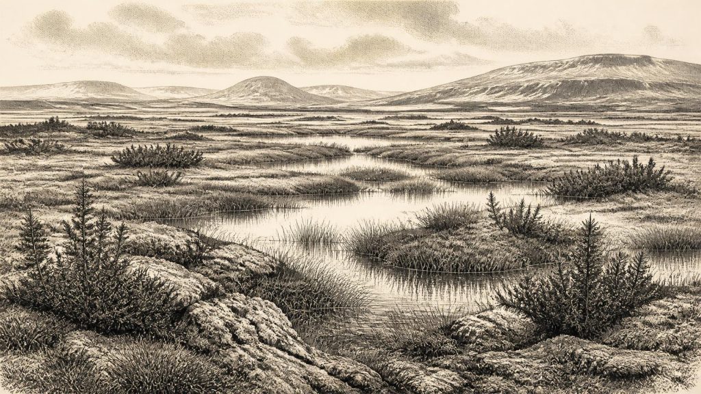
The deposit does not reveal a tranquil lake in a mild, wooded Ireland. Its plant and animal remains were interpreted by the original investigators as evidence for open tundra and a periglacial regime: ground affected by severe cold and seasonal freezing, but not necessarily buried beneath permanent ice at the time the sediments accumulated. Fossil pollen, seeds, mosses and insect remains point towards wet, open ground with pools and abundant plant matter. It has often been described as a muskeg-like environment: waterlogged, mossy and sedge-rich terrain, with shallow freshwater and saturated soils.
Among the most evocative finds is bogbean, a plant associated today with wetland margins. Other recorded traces include mountain avens, lesser clubmoss, grasses, sedges, juniper and herbaceous plants. These remains do not allow a photographic reconstruction of every hillside. Pollen can travel, plant distributions shift, and a small basin records its local catchment more clearly than distant country. Yet together they strongly support a treeless, cold and patchy landscape rather than a closed forest. In sheltered wet places, vegetation could establish itself; on exposed ground, wind, frost and sparse cover would have been major forces.
An Island on an Ice-Age Margin
Ireland’s physical geography was very different from that of the present. Global sea level was lower during the glacial period, exposing much wider continental shelves around north-west Europe. The Irish Sea basin and the Celtic Sea were altered landscapes, not the familiar maritime barriers of today. But lower sea level did not automatically create a simple, dry land bridge from Ireland to continental Europe. Ice, rivers, wetlands, marine channels and unstable coastal margins all changed through time. Routes available to animals or people in one phase may have been blocked or dangerous in another.
Nor was the British–Irish Ice Sheet a single unchanging blanket. Marine, terrestrial and geochronological research shows an ice mass capable of growth, retreat, reorganisation and renewed advance. The greatest expansion associated with the Last Glacial Maximum came later, principally between about 26,500 and 19,000 years ago. At the time relevant here, Ireland was within a wider glacial world, but its local conditions were uneven. Derryvree demonstrates that at least one inland Fermanagh locality experienced an ice-free freshwater interval before later glaciation overran it.
This matters because it corrects two misleading extremes. Ireland was neither a stable green island nor necessarily everywhere a featureless ice sheet. It was a dynamic mosaic whose habitable zones, vegetation and routes changed on timescales far longer than any one calendar year. The enduring Irish landscape of drumlins, scoured rock, erratics, lake basins and thick glacial sediments is in part the legacy of those later advances and retreats.
Animals in a Sparse Record
Irish cave collections offer another window into MIS 3, especially in the south. Castlepook Cave, also known as Mammoth Cave or Doneraile Cave, in north County Cork has yielded remains attributed to mammoth, reindeer, giant deer, brown bear, Arctic fox and spotted hyaena, among other animals. The Irish Quaternary Fauna Project showed that a varied mammal fauna reached Ireland between at least about 45,000 and 20,000 years ago. Such animals imply episodes when the island, or accessible parts of it, could support substantial herbivores and their predators.
However, cave assemblages require caution. Bones may have been carried in by carnivores, water or people; they may derive from different millennia; and many were recovered during early excavations that did not meet modern recording standards. Improved radiocarbon pretreatment has also changed the apparent ages of several Castlepook specimens, in some cases by thousands of years. Castlepook is therefore powerful evidence for Ice-Age animal presence in Ireland, but not a reliable census of one valley in 31,840 BCE.
The combination of Derryvree’s wet tundra indicators and southern cave fauna nevertheless makes broad ecological sense. Open vegetation could sustain grazing and browsing animals, while caves and rocky ground offered denning places, traps for remains or routes by which carcasses accumulated. Predators such as hyaenas would have occupied a very different ecological role from anything in modern Ireland. But no evidence permits a claim that mammoths, reindeer and hyaenas all stood together beside the Derryvree pools at the date in question.
The Human Question
Human history at this date must be stated even more carefully. Modern humans were present elsewhere in Europe during MIS 3, using sophisticated Upper Palaeolithic stone technologies, maintaining long-distance social connections and producing symbolic culture. Ireland’s evidence is far thinner. A reindeer bone from Castlepook bearing a possible cut mark has been presented as evidence of human activity around 33,000 years ago. If that interpretation is accepted, it would push evidence for human presence on the island much farther back than the terminal Pleistocene evidence at Alice and Gwendoline Cave in County Clare.
Yet one marked bone cannot establish a camp, a permanent population, a named cultural group or continuous settlement. Its archaeological context is limited, and the distinction between a deliberate stone-tool incision and other damage is consequential. The responsible conclusion is that people may have reached Ireland during this wider period, perhaps briefly and opportunistically, but no securely excavated hearth, tool-making floor, dwelling, burial or substantial butchered assemblage documents a resident community in 31,840 BCE.
Accordingly, there is no evidence for political affairs, diplomacy, organised warfare, religious institutions, formal learning, trade systems or permanent settlement in Ireland at this point. Nor is there evidence from which everyday domestic life can responsibly be reconstructed. If humans were present, their movements would have depended on weather, game, terrain, shelter and access across a volatile glacial landscape. That is an inference from the environmental setting and wider European comparison, not an observed Irish event.
Economy, Culture and the Limits of Evidence
Words such as economy and trade can mislead when applied to this date. There is no Irish evidence for farming, herding, pottery, metalworking, seafaring exchange or managed woodland. The only possible human economy would have been mobile foraging and hunting, but even that remains unproven locally. Animal bones document the presence or movement of fauna more securely than human subsistence. The Derryvree plants document an ecosystem, not its use by people.
Likewise, religion and culture leave no identifiable Irish trace from this precise horizon. It would be wrong to project the cave art, burials or ornament traditions known in other parts of Upper Palaeolithic Europe onto Ireland. Absence of evidence does not demonstrate that no person ever crossed into the island; it does demonstrate that Irish archaeology has not yet recovered material allowing those practices to be described. In a landscape repeatedly glaciated after this time, that scarcity is itself historically significant.
What Survived the Ice
The central development relevant to 31,840 BCE is therefore environmental, not political: parts of Ireland experienced cold, open and wet conditions during MIS 3, while the expanding and contracting ice-sheet system repeatedly determined what could live, move and survive. Derryvree’s buried freshwater silts are a rare survival from that world. The bogbean seed, mosses, insect traces and pollen are modest objects, but they preserve evidence of life in an otherwise largely erased interval.
For Ireland, this is history before communities can be named and before events can be dated to a year. The most accurate account is one of periglacial wetlands, tundra vegetation, mobile Ice-Age animals and an uncertain human threshold. Later ice would transform the island again, covering extensive areas and destroying many earlier deposits. What remains beneath a Fermanagh drumlin and in Cork cave collections is enough to show that Ireland had an Ice-Age past of ecological complexity, but not enough to turn 31,840 BCE into an anniversary.
Source References
Hover over a number to see the source. Select it to open the source.

- [1] Middle Midlandian Freshwater Series at Derryvree, Maguiresbridge, County Fermanagh, Northern Ireland
- [2] A Reconsideration of the Radiocarbon Dating of the Marine Isotope Stage 3 Fauna from Southern Ireland
- [3] The Irish Quaternary Fauna Project
- [4] New Insights on the Fauna of Ireland's Younger Dryas and Early Holocene from Alice & Gwendoline Cave
- [5] Growth and Retreat of the Last British–Irish Ice Sheet, 31,000 to 15,000 Years Ago: the BRITICE-CHRONO Reconstruction
- [6] The Timing and Magnitude of the British–Irish Ice Sheet between Marine Isotope Stages 5d and 2
- [7] Maximum Extent and Dynamic Behaviour of the Last British–Irish Ice Sheet West of Ireland
- [8] Pattern and Timing of Retreat of the Last British-Irish Ice Sheet
- [9] Early Deglaciation of the British-Irish Ice Sheet on the Atlantic Margin
- [10] Growth and Retreat of the Last British-Irish Ice Sheet, 31,000 to 15,000 Years Ago
- [11] New Data for the Last Glacial Maximum in Great Britain and Ireland
- [12] Growth, Dynamics and Deglaciation of the Last British-Irish Ice Sheet: the Deep-Sea Ice-Rafted Detritus Record
- [13] The IntCal20 Northern Hemisphere Radiocarbon Age Calibration Curve (0–55 cal kBP)
- [14] IntCal Publications
- [15] ESCR Site Summary: Quaternary Deposits of Northern Ireland
- [16] Figure 6: The Subdivision of the Quaternary Period in Ireland
- [17] The Quaternary of Northern Ireland
- [18] BSBI: Menyanthes trifoliata
- [19] BSBI: Dryas octopetala
- [20] BSBI: Selaginella selaginoides
- [21] Archaeological Heritage of County Cork
- [22] Irish Pleistocene Biostratigraphy
Primary Sources
- Middle Midlandian Freshwater Series at Derryvree, Maguiresbridge, County Fermanagh, Northern Ireland
- A Reconsideration of the Radiocarbon Dating of the Marine Isotope Stage 3 Fauna from Southern Ireland
- The Irish Quaternary Fauna Project
- New Insights on the Fauna of Ireland's Younger Dryas and Early Holocene from Alice & Gwendoline Cave
- Growth and Retreat of the Last British–Irish Ice Sheet, 31,000 to 15,000 Years Ago: the BRITICE-CHRONO Reconstruction
- The Timing and Magnitude of the British–Irish Ice Sheet between Marine Isotope Stages 5d and 2
- Maximum Extent and Dynamic Behaviour of the Last British–Irish Ice Sheet West of Ireland
- Pattern and Timing of Retreat of the Last British-Irish Ice Sheet
- Early Deglaciation of the British-Irish Ice Sheet on the Atlantic Margin
- Growth and Retreat of the Last British-Irish Ice Sheet, 31,000 to 15,000 Years Ago
- New Data for the Last Glacial Maximum in Great Britain and Ireland
- Growth, Dynamics and Deglaciation of the Last British-Irish Ice Sheet: the Deep-Sea Ice-Rafted Detritus Record
- The IntCal20 Northern Hemisphere Radiocarbon Age Calibration Curve (0–55 cal kBP)
- IntCal Publications
- ESCR Site Summary: Quaternary Deposits of Northern Ireland
- Figure 6: The Subdivision of the Quaternary Period in Ireland
- The Quaternary of Northern Ireland
- BSBI: Menyanthes trifoliata
- BSBI: Dryas octopetala
- BSBI: Selaginella selaginoides
- Archaeological Heritage of County Cork
- Irish Pleistocene Biostratigraphy