Bogbean Pools of Fermanagh31555 BCE
31,555 BCE is a modern label within a broad Late Pleistocene range, not a recoverable Irish historical year. At Derryvree, County Fermanagh, freshwater silts between glacial tills indicate a MIS 3 ice-free interval followed by renewed glaciation. Mosses, sedges, bogbean, mountain avens and insects reveal a cold, treeless wetland-tundra mosaic. Castlepook Cave, County Cork, preserves time-mixed remains of mammoth, reindeer, hyaena and other fauna, demonstrating harsh but habitable environments. A possibly cut-marked reindeer bone suggests brief Upper Palaeolithic human activity, though not settlement. Sparse, uncertain evidence excludes claims about communities, politics or economy, while showing dynamic connections with north-west Europe.

Dateline
“31,555 BCE” is a modern chronological label, not a year that can be recovered from the Irish archaeological record. No Irish event, individual, settlement or political decision can responsibly be assigned to that precise year. At this depth of time, evidence is dated in wide calibrated ranges and related to climatic phases. The most useful setting is the Late Pleistocene, within Marine Isotope Stage 3 (MIS 3), an unstable part of the last Ice Age when cold periods, brief ameliorations and changing ice margins repeatedly altered north-west Europe.
A Date Within a Range
Expressed in the convention used by Quaternary science, 31,555 BCE is roughly 33,500 calendar years before AD 1950. That conversion should not imply false precision. Radiocarbon measurements are not calendar dates: the amount of atmospheric carbon-14 varied over time, and calibration produces probability ranges rather than a single secure year. The internationally used IntCal20 curve reaches this part of the Pleistocene, but the uncertainty is still substantial.
For Ireland, the key evidence close to this notional date comes from Derryvree, near Maguiresbridge in County Fermanagh. Roadworks in 1969 cut through a drumlin and exposed freshwater silts and fine sands caught between two distinct layers of glacial till. Organic material from this sequence, laboratory number Birm-166, returned a conventional radiocarbon age of 30,500 with a large error margin. Later calibration places it broadly about 36,900–31,700 calibrated years before present, or approximately 34,950–29,750 BCE. Thus 31,555 BCE lies within the wide span indicated by the deposit, but cannot be tied to an individual layer, season or occurrence.
Fresh Water Between Glaciers
Derryvree is important because its order of deposits is clear. An earlier glacier left the lower till. Then, in a period when ice no longer covered the spot, water laid down silts and sands and preserved organic remains. A later glacial advance buried the freshwater bed beneath another till sheet. The deposit is therefore evidence both for a non-glacial interval in this part of Fermanagh and for the return of ice afterwards. It does not mean that all Ireland was ice-free at precisely the same time, nor that the island’s ice cover expanded or retreated evenly.
The older Irish terminology calls this the Derryvree Cold Phase; wider comparisons place it within MIS 3. The word “cold” matters. Fossil evidence does not describe a mild, wooded landscape awaiting farmers or a familiar rural Ireland. It indicates an open, treeless, periglacial environment: ground affected by severe frost and short growing seasons, but with enough unfrozen seasonal water to form pools, marshy margins and sediment-filled hollows. Ice-sheet reconstructions increasingly show that the last British–Irish Ice Sheet was dynamic before its much later maximum extent, rather than a single unchanging blanket of ice. Northern and central Ireland could contain exposed terrain while ice remained important elsewhere in the region.
Mosses, Sedges and Open Ground
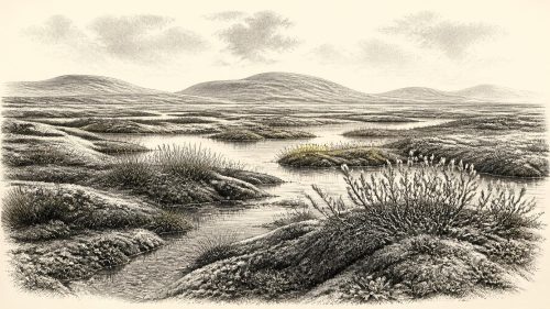
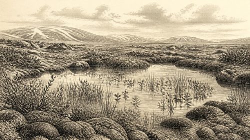
The Derryvree silts preserve the small-scale evidence that gives this era its texture. Pollen was poorly preserved, but included herbaceous plants. Plant macrofossils and mosses, together with fossil insects, point to a landscape of grasses, sedges, herbs, juniper and other hardy vegetation. The record includes bogbean, Menyanthes trifoliata, and mountain avens, Dryas octopetala, species whose requirements help identify cold, open conditions. Researchers have described the local setting as muskeg: wet, moss-rich ground, interrupted by shallow open pools and fringed by plant matter.
This was neither barren ice nor continuous grassland. It was a varied wetland-tundra mosaic. Summer thaw would have brought moving water, mud, insects and a brief flush of plant growth. Winter frost, wind and darkness would have imposed profound constraints. Such evidence supports a reconstruction of a local habitat, not an exact weather report for Ireland in 31,555 BCE. Nor should a Fermanagh pool be treated as a map of every valley, limestone upland or coastal plain. Its strength lies in preserving a rare, direct record of life on land later modified and, in many places, erased by glacial action.
The Southern Cave Record
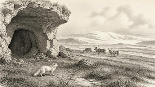
Castlepook Cave, near Doneraile in north County Cork, provides a different but complementary window. It is Ireland’s richest known cave archive for vertebrate remains from the long interval before the Last Glacial Maximum. Excavations begun in the early twentieth century recovered more than 2,000 bones. Direct dates from the assemblage span a very long period, roughly 45,700 to 19,950 years before present. That breadth is a warning: the cave collection does not represent one moment, and its animals must not all be placed together in a single imagined scene.
Nevertheless, redating has established that parts of the southern Irish fauna belong to MIS 3. Castlepook has yielded remains of woolly mammoth, giant deer, reindeer, brown bear, wolf, foxes, hares, lemmings and spotted hyaena. The hyaena evidence is especially important, because bone accumulations in caves may record carnivore use, scavenging, flooding and repeated disturbance rather than a straightforward list of animals living side by side. Mammoth and hyaena bones once dated around 35,000 and 34,300 radiocarbon years ago were formerly linked with the Derryvree Cold Phase, but modern reassessment stresses the limits of older dates and excavated contexts.
A Contested Human Trace
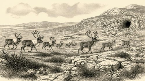
The period near this date has acquired unusual importance because of a reindeer femur from Castlepook. A deep mark on the bone has been interpreted by zooarchaeologist Ruth Carden as an incision made by a sharp stone tool while fresh meat was being removed. The bone has been reported as about 33,000 years old. If that interpretation and dating are sustained, it would indicate that people reached Ireland during the Upper Palaeolithic, far earlier than the once accepted evidence for post-glacial settlement.
But the claim should be stated carefully. A single marked bone is not a camp, hearth, tool assemblage, burial or house. It does not identify the number of visitors, their language, ancestry, cultural label, route or length of stay. The original cave excavations also disturbed deposits, while hyaenas and water moved material before archaeologists ever encountered it. Recent fieldwork at Castlepook has sought undisturbed, stratified deposits precisely because stone tools, hearths or securely associated cut-marked bones would transform the evidential picture. At present, an early human presence remains a plausible and consequential interpretation, not proof of permanent occupation.
No Kingdoms, No Recorded Communities
There is no evidence for political affairs, diplomacy, organised warfare, named groups or territorial authority in Ireland at this date. There is likewise no direct Irish evidence for ritual places, formal religion, visual art, schooling, long-distance exchange networks or domestic settlements. Silence on these subjects is not proof that transient visitors possessed no beliefs, social ties or learning. Upper Palaeolithic people elsewhere in Europe were capable of sophisticated stone-working, clothing, fire use, food sharing and symbolic practices. Yet applying those wider patterns to Ireland is an inference, not an observation from Derryvree or Castlepook.
The same restraint is needed for everyday economy. Reindeer and other large mammals could have supplied meat, fat, hides, sinew and bone to hunters, while the open landscape may have enabled seasonal movement and observation of herds. But Ireland has produced no securely dated hunting camp from around 31,555 BCE, and no artefacts demonstrate local manufacture or trade. There can be no responsible account of farming, livestock, pottery, metalworking or maritime commerce: all belong to much later Irish prehistory.
Land Linked to Wider Europe
Lower global sea levels during the Ice Age changed the geography of the Irish Sea region and facilitated animal movement between Britain and Ireland at some points. The presence of cold-adapted mammals in Irish cave deposits shows that colonisation routes existed during favourable phases. It does not establish a simple, continuously dry land bridge, nor an open route at every date. Coasts, rivers, wetlands, ice margins and sea channels changed as climate and ice volume changed. For any human visitors, Ireland would have been a difficult western extension of wider north-west European landscapes rather than an isolated world.
The central historical development around 31,555 BCE is therefore environmental survival and change. At Derryvree, freshwater pools and cold-tolerant plants occupied terrain between glacial episodes. In southern limestone caves, bones preserve a longer, time-mixed record of mammals moving through harsh but habitable habitats. A possible cut on a reindeer bone raises the prospect of brief human activity. Together these fragments replace an older image of an entirely empty Ice-Age Ireland with a more careful conclusion: parts of the island supported life during MIS 3, but the evidence is too sparse and chronologically broad to turn one modern numbered year into a narrated event.
Primary Sources
- A Middle Midlandian Freshwater Series at Derryvree, Maguiresbridge, County Fermanagh, Northern Ireland
- A Reconsideration of the Radiocarbon Dating of the Marine Isotope Stage 3 Fauna from Southern Ireland
- Irish Pleistocene Biostratigraphy
- Trimlines, Blockfields and the Vertical Extent of the Last Ice Sheet in Southern Ireland
- Growth and Retreat of the Last British–Irish Ice Sheet, 31,000 to 15,000 Years Ago: the BRITICE-CHRONO Reconstruction
- The Timing and Magnitude of the British–Irish Ice Sheet Between Marine Isotope Stages 5d and 2
- Late Pleistocene Chronostratigraphy and Ice Sheet Limits, Southern Ireland
- Stratigraphic and Palaeo-Geomorphological Evidence for the Glacial-Deglacial History of the Last British-Irish Ice Sheet in the North-Western Irish Sea
- Last Glacial Maximum Cirque Glaciation in Ireland and Implications for Reconstructions of the Irish Ice Sheet
- Character of Advance and Retreat of the Southwest Sector of the British-Irish Ice Sheet During the Last Glaciation
- Castlepook Cave
- Spotted Hyena Skull
- 2022:564 – Castlepook Cave, Castlepook South, Cork
- New Insights on the Fauna of Ireland's Younger Dryas and Early Holocene from Alice & Gwendoline Cave
- The IntCal20 Northern Hemisphere Radiocarbon Age Calibration Curve (0–55 cal kBP)
- The IntCal20 Approach to Radiocarbon Calibration Curve Construction: A New Methodology Using Bayesian Splines and Errors-in-Variables
- Palaeoecology
- The Subdivision of the Quaternary Period in Ireland
- BSBI: Menyanthes trifoliata
- BSBI: Dryas octopetala
- Ireland's Palaeolithic Archaeology – Fleeting Footprints in a Frozen Land
- Archaeological Heritage of County Cork
- The Mesolithic in Ireland: When Was It?