Derryvree’s Two Tills31466 BCE
Around 31,466 BCE, Ireland was in the later Marine Isotope Stage 3, increasingly cold but not yet wholly covered by the British–Irish Ice Sheet. At Derryvree, County Fermanagh, freshwater sediments between tills, dated broadly to 33,500 calendar years BP, preserve treeless wetland plants and invertebrates, demonstrating local vegetated, unfrozen habitats. Castlepook Cave, County Cork, contains varied cold-stage fauna, including mammoth, reindeer, giant deer and hyena, though deposits span different periods. A marked reindeer femur may indicate brief Upper Palaeolithic butchery, but secure settlement evidence is absent. Glacial erosion explains much archaeological loss; Ireland remained an unstable Ice Age landscape overall.
Dateline
A Date Beyond Annals
31,466 BCE is a modern chronological label, not a year for which Ireland has an event, ruler, battle, migration or named community. There were no written records, calendars or political institutions that can be recovered at this depth of time. Archaeology cannot isolate a particular season, let alone a day, in this remote past. Converting the label to the convention used by Quaternary scientists places it roughly 33,415 years before AD 1950, or about 33.4 thousand calibrated years before present (cal BP). That conversion is useful for orientation, but it must not be mistaken for calendar-year precision: radiocarbon determinations at this age calibrate to broad probability ranges.
The responsible subject is therefore not an imagined ‘Ireland in a year’, but Ireland during the later part of Marine Isotope Stage 3, an unstable interval of the last Ice Age. The island was approaching the major growth of the British–Irish Ice Sheet, though it was not yet simply a country entombed beneath the maximum ice cover that followed. The best evidence comes from rare deposits protected beneath later glacial sediments, from cave bones in the south, and from landforms and offshore records that document the advancing ice. Together they offer an interrupted but vivid picture of cold landscapes, freshwater pockets and large animals—and almost no secure evidence for a human society.
A Freshwater Window in Fermanagh
The closest Irish environmental record to this approximate date lies at Derryvree, near Maguiresbridge in County Fermanagh. Road works in 1969 cut through a drumlin and revealed fine sands, silts and organic beds trapped between two substantial layers of till, the unsorted sediment left by glacier ice. Eric Colhoun, James Dickson, A. M. McCabe and F. W. Shotton identified the deposit as a freshwater series laid down before a later ice advance overran and incorporated it into the drumlin landscape.
A radiocarbon measurement from Derryvree, BIRM-166, was originally reported as 30,500 ± 1,100 radiocarbon years BP. Later chronological work places the deposit broadly around 33.5 ± 1.2 thousand calendar years BP. This is not a date for one episode at one precise point; it is a range spanning centuries or more, with the usual uncertainties of old samples and calibration. It nevertheless means that Derryvree is unusually close in age to 31,466 BCE and is a rare Irish witness to conditions before the later ice sheet remade so much of the island.
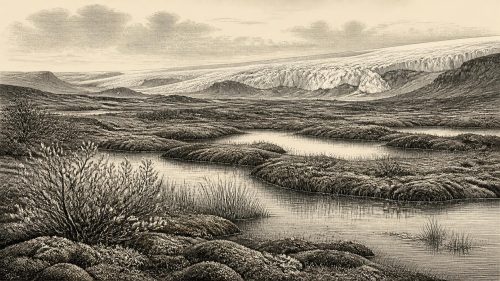
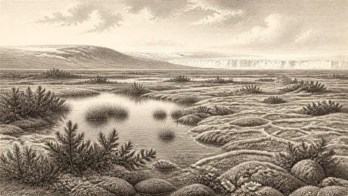
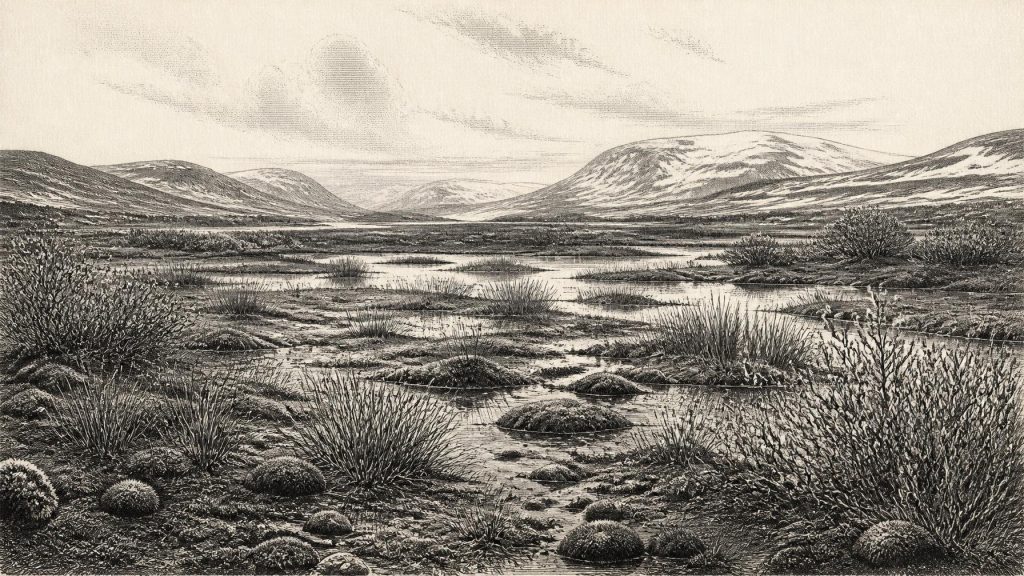
The plant and invertebrate evidence points to a treeless, cold wetland rather than woodland, farmland or a settled lakeside. Sedges, mosses and plants adapted to chilly ground and shallow freshwater occurred in or around the basin. Among the reported fossils were aquatic and wetland taxa, including bogbean and water-milfoil, alongside arctic-alpine elements such as mountain-avens, dwarf willow and alpine clubmoss. Such remains show that liquid water and vegetated ground existed locally, even in a markedly cold climate. They do not demonstrate a uniform national landscape: a buried pool in Fermanagh cannot stand for every coast, upland, valley or plain in Ireland.
Still, Derryvree counters an overly simple image of a frozen blank. At around this time, parts of Ireland could contain wet hollows, slow water, mossy ground and low herb-rich vegetation. Permafrost, seasonal freezing, wind exposure and short growing seasons may have shaped the setting, but the site preserved an ecological community rather than barren ice. Its very survival is exceptional. Subsequent glacier movement eroded older soils, shifted sediments and removed many locations where comparable evidence might once have survived.
Before the Ice Sheet’s Maximum
The wider glacial setting was one of mounting severity. The Midlandian glaciation in Ireland formed part of the British–Irish Ice Sheet system. Modern reconstructions show that its growth, maximum extent and retreat were regionally uneven. The ice sheet was not a single static mass whose edge advanced everywhere at once. Different sectors responded to local topography, marine basins, snowfall, temperature and the behaviour of fast-flowing ice streams.
At roughly 33.4 cal BP, Ireland was before the global Last Glacial Maximum, conventionally placed at about 26.5–19 thousand years ago, although some sectors of the British–Irish Ice Sheet reached maximum extent or began their later retreat at different times. Evidence from Derryvree indicates that at least part of north-central Ireland had been ice-free shortly before the major later advance. The later glacial record, meanwhile, shows Irish ice extending far offshore onto the Atlantic and Celtic Sea shelves. By the maximum phase, much of the island and surrounding shelf were affected by a large, dynamic ice mass.
That sequence matters because it establishes what cannot be claimed for 31,466 BCE. It is inaccurate to picture every Irish hill already under the full maximum ice sheet; it is equally inaccurate to treat the country as climatically benign. Ireland was a northern, exposed portion of the north-west European landmass in an increasingly cold Ice Age world. Lower global sea level altered coastlines profoundly. The Irish Sea basin and shelf geography differed from that of today, and terrestrial or near-terrestrial routes between Ireland, Britain and the wider European plain may have opened and closed as sea level, ice and local water bodies changed. Their exact form at this particular point remains debated.
Animals of the Open Country
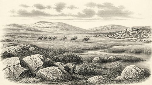
Fossil caves, especially Castlepook Cave—also known as Mammoth Cave—near Doneraile in north Cork, supply another important line of evidence. Castlepook is Ireland’s richest known site for vertebrate remains from the last cold stage. Its Pleistocene assemblage includes woolly mammoth, reindeer, giant deer, brown bear and spotted hyena; later cold-stage deposits also contain animals such as Arctic fox, wolf, mountain hare and lemmings. The cave is evidence that Ireland was periodically connected to wider north-west European animal populations during favourable phases of the last glaciation.
There is an important limitation. A cave bone assemblage is not a census of one landscape at one moment. Bones can be brought in by carnivores, washed through passages, reworked by water, disturbed by digging or collected with imperfect records during early excavations. Individual specimens within Castlepook’s deposits belong to different dates. The fauna demonstrates that cold-open habitats capable of supporting large grazers and their predators occurred in Ireland during Marine Isotope Stage 3, but it does not prove that mammoths, hyenas, reindeer and giant deer all stood together outside the cave in 31,466 BCE.
Spotted hyena is particularly significant. Castlepook is the only known Irish locality for this predator, and its bones, teeth and coprolites help explain why caves can contain such concentrated accumulations of large-animal remains. Hyenas may have carried prey parts into dens; other bones may reflect natural death, water transport or later disturbance. This taphonomic complexity requires caution when using cave finds to reconstruct food chains. Nevertheless, the broad ecological inference is sound: Ireland supported, at intervals, an open-country mammal community radically unlike that of the modern island.
The Reindeer Femur Question
Castlepook also holds the most controversial possible human trace relevant to this era: a reindeer femur reported as approximately 33,000 years old and bearing a deep linear mark interpreted by zooarchaeologist Ruth Carden as modification by a sharp stone tool. County Cork heritage material identifies it as evidence for Palaeolithic butchery and dates it broadly to around 31,000 BCE. If that interpretation and association are upheld, the bone would indicate that one or more people processed a reindeer in Ireland during the wider period represented by this article.
Its importance should not be inflated. A dated animal bone and the interpretation of a mark upon it are separate evidential questions. Nor does one marked bone establish permanent settlement, a hunting camp, a dwelling, a population, a language or descent from later Irish communities. Castlepook has not produced a securely associated hearth, stone-tool assemblage, house floor, burial or stratified occupation surface of equivalent age. The cave’s old excavation history and disturbed deposits further restrict what can be said. The most cautious conclusion is that brief Upper Palaeolithic human visitation is plausible and may be indicated by the femur, but is not yet documented as an enduring occupation of Ireland.
Even the cultural label must be used carefully. Across Europe, the Gravettian was among the Upper Palaeolithic traditions of this broad period, represented by distinctive stone technologies, hunting practices, ornaments and art. No securely excavated Irish assemblage of Gravettian tools permits the same cultural attribution here. It would be misleading to import continental camps, clothing, rituals or art directly into Ireland merely because they were known elsewhere in Europe.
No Politics, but a Human Scale
There is no evidence from which to describe political affairs, diplomacy, warfare, religion, formal learning, trade networks or social ranks in Ireland at this date. There were no towns, monuments, fields, metalwork or written traditions. If people did reach the island, they were almost certainly mobile foragers operating in very small groups, but this is an inference from the wider Upper Palaeolithic world, not a demonstrated Irish social structure. The Castlepook femur cannot tell us whether a hunt was planned, whether the animal was scavenged, how many people participated or how long they remained.
Nor can economy be reconstructed beyond the possibility of animal resources. Reindeer could have furnished meat, marrow, hides, sinew and bone to hunters, yet no Irish tool kit or processing area proves how such materials were used. There is likewise no direct basis for asserting exchange with Britain or mainland Europe. The altered Ice Age geography made movement conceivable at intervals; it does not document a route, voyage or trading relationship.
The decisive historical development was environmental. Freshwater wetlands such as Derryvree existed in a cold, open setting while the regional ice sheet was growing towards a later maximum that would erase or bury much evidence of earlier life. Ireland’s archaeological silence is partly the result of that destruction. What survives—the Fermanagh silts, Cork cave fauna and one disputed or provisional humanly modified bone—is precious precisely because it is so slight. Around 31,466 BCE, Ireland can responsibly be understood as a changing Ice Age landscape with animal life and perhaps fleeting human contact, not yet as a settled human country.
Primary Sources
- A Middle Midlandian Freshwater Series at Derryvree, Maguiresbridge, County Fermanagh, Northern Ireland
- Palaeoecology
- Figure 6.— The Subdivision of the Quaternary Period in Ireland
- A Reconsideration of the Radiocarbon Dating of the Marine Isotope Stage 3 Fauna from Southern Ireland
- The Irish Quaternary Fauna Project
- Castlepook Cave, County Geological Site Report
- Spotted Hyena Skull
- Heritage Artefacts of County Cork
- First Evidence of a Late Upper Palaeolithic Human Presence in Ireland
- New Insights on the Fauna of Ireland's Younger Dryas and Early Holocene from Alice & Gwendoline Cave
- Growth and Retreat of the Last British–Irish Ice Sheet, 31,000 to 15,000 Years Ago: The BRITICE-CHRONO Reconstruction
- Early Deglaciation of the British-Irish Ice Sheet on the Atlantic Shelf Northwest of Ireland Driven by Glacioisostatic Depression and High Relative Sea Level
- Dimensions and Chronology of the Last Ice Sheet in Western Ireland
- Trimlines, Blockfields and the Vertical Extent of the Last Ice Sheet in Southern Ireland
- Pattern and Timing of Retreat of the Last British-Irish Ice Sheet
- New Data for the Last Glacial Maximum in Great Britain and Ireland
- The Colonization of Ireland: A Human Ecology Perspective
- The Mesolithic in Ireland: When Was It?
- The Early Prehistory in the West of Ireland: Investigations into the Social Archaeology of the Mesolithic, West of the Shannon, Ireland
- Exploring the Last Glacial Maximum in Ireland and Britain
- Reindeer Bone Found in Cork Cave Shows Human Activity in Ireland 33,000 Years Ago
- Castlepook Cave, Co. Cork, 2022