Fermanagh Avens31420 BCE
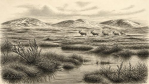
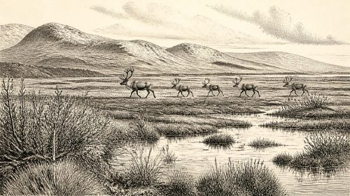
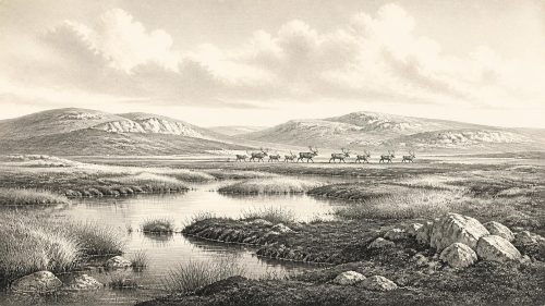
31,420 BCE is a modern label rather than a recoverable Irish year. Derryvree, County Fermanagh, preserves organic freshwater sediments, radiocarbon-dated broadly to this period, between glacial tills. Their pollen, plants and invertebrates reveal treeless tundra wetlands with bogbean, dwarf willow, mountain avens and shallow pools during a temporary non-glacial interval. Lower sea levels altered coasts, while advancing British-Irish ice later remodelled much of Ireland. Castlepook Cave, County Cork, contains mixed Pleistocene fauna, including mammoth, reindeer, giant deer, bear and hyena. A cut-marked reindeer bone may indicate transient Upper Palaeolithic human activity, but cannot demonstrate settlement, society or continuity with certainty.
Dateline
31,420 BCE is a modern calendar label, not a year that can be recovered from Ireland’s prehistoric record. It falls roughly 33,370 years before AD 1950, the conventional starting point for “before present” dating, during the Late Pleistocene and Marine Isotope Stage 3 (MIS 3), an unstable interval of the last Ice Age. No Irish written source, calendar, named leader, settlement sequence or archaeological layer can identify happenings within this particular twelve-month span. The responsible history of Ireland at this depth in time is therefore a history of broad environmental phases and fragmentary physical evidence, not a year-by-year narrative in the usual sense.
The nearest useful chronological anchor is an organic freshwater deposit uncovered at Derryvree, near Maguiresbridge in County Fermanagh. Its conventional radiocarbon determination, Birm-166, was 30,500 ± 1,170 radiocarbon years BP. Radiocarbon years are not calendar years: when calibrated against modern curves, this result is commonly expressed as a broad range of about 36,900–31,700 calibrated years BP, or approximately 34,950–29,750 BCE. The nominal date considered here falls somewhere within that wide span, but cannot be fixed to a particular bed, season, generation or event. The date range is evidence for an interval; any picture of Ireland in 31,420 BCE remains an informed reconstruction.
A Freshwater Interval Beneath Ice
Derryvree matters because later glaciers erased, mixed or buried so much of Ireland’s earlier Pleistocene landscape. Roadworks in 1969 cut through a drumlin, exposing fine sands and organic silts enclosed between two layers of till: unsorted debris laid down by glacier ice. The sequence is clearer than most. Ice had occupied the site before the freshwater sediments accumulated; a later ice advance then sealed the deposits beneath fresh till. It proves that this part of Fermanagh experienced a non-glacial interval between glaciations, though it does not mean that all Ireland was ice-free at precisely the same time.
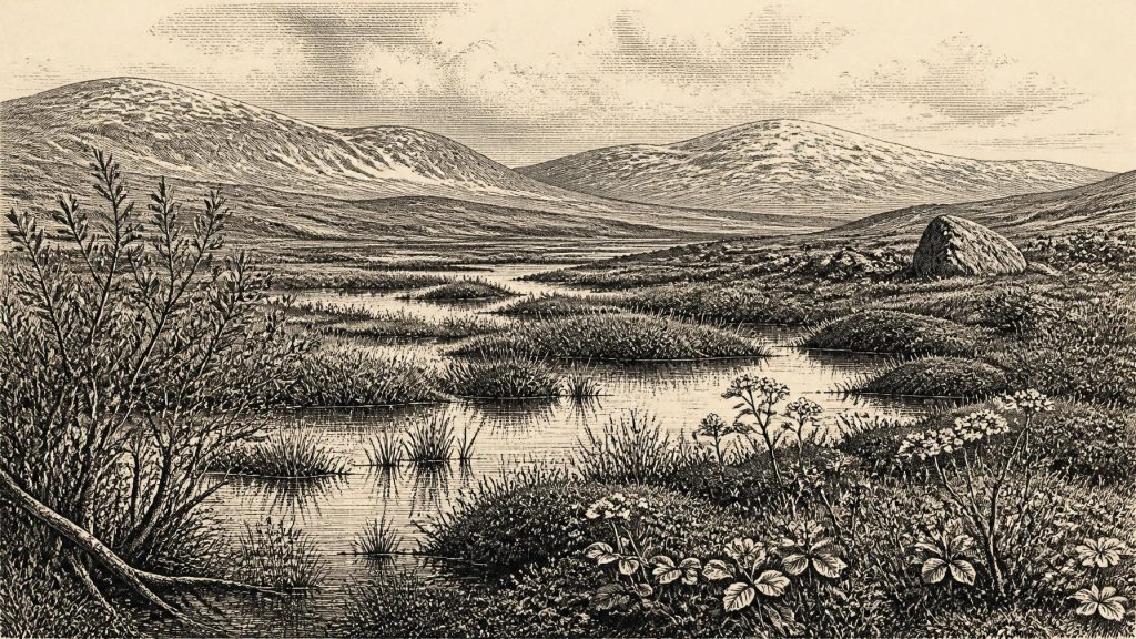
The silts and sands preserve pollen, plant macrofossils, mosses and invertebrate remains. Together they point to open, treeless ground under severe periglacial conditions. This was not the green, wooded island of later millennia, nor necessarily a monotonous white wasteland. It was a varied tundra and wetland landscape: exposed mineral ground, sedgy margins, shallow pools, wet peaty hollows and low vegetation able to exploit a short growing season. Frost action, seasonal freezing and cold winds would have shaped the terrain as forcefully as water and plants did.
Among the striking Derryvree finds are remains of bogbean, mountain avens, dwarf willow, Arctic-alpine clubmoss and water-milfoil. Bogbean and water-milfoil indicate freshwater in or beside the pool; willow and mountain avens evoke low, cold-adapted plant cover rather than forest. The combination is important. It suggests that even in a harsh climate, standing water and saturated ground created small ecological refuges with different conditions from the surrounding open plain. Insects and plant communities record such local variation more precisely than a general phrase such as “Ice Age tundra” can convey.
An Island of Shifting Margins
At this time, Ireland’s physical geography was changing on scales far beyond any human lifetime. Global sea level was lower than it is today because vast quantities of water were locked in ice sheets, exposing more of the continental shelf around Ireland and Britain. Yet lower seas do not automatically establish a simple dry land bridge across the Irish Sea. The former sea floor was cut by deep channels, and reconstructions of shorelines, ice margins and water bodies remain complex. It is safer to say that the distances, coastlines and possible routes between Ireland, Britain and continental Europe differed markedly from modern ones, while the practical accessibility of any route varied with local ice, sea and terrain.
The British–Irish Ice Sheet was not a single immobile blanket. It grew, flowed, retreated and reorganised across different sectors. Recent large-scale reconstructions show the main last-glacial ice sheet expanding substantially after this broad horizon and reaching extensive limits later, particularly around 27,000–23,000 calibrated years BP. Southern Irish evidence indicates that much of the island was eventually overridden during that later maximum. Derryvree therefore belongs to a precarious interval before the greatest late-glacial expansion, when some landscapes supported freshwater wetlands and tundra life but were vulnerable to renewed ice advance.
That sequence supplies the closest equivalent to a political history for this period: not kingdoms or frontiers, but changing environmental powers. An advancing ice sheet redirected rivers, excavated basins, transported stone, altered coastlines and finally covered many places where animals or people might once have travelled. The drumlin enclosing the Derryvree deposits is itself part of this later transformation. Its form and the tills inside it are reminders that the evidence survives only because sediment was unexpectedly protected, not because it represents a complete local archive.
Animals in the Cave Record
For animal life, Castlepook Cave—also called Mammoth Cave or Doneraile Cave—in the Awbeg Valley of north County Cork is indispensable. It is Ireland’s richest known cave assemblage of Pleistocene vertebrate remains. Collections from the cave include woolly mammoth, reindeer, giant deer, brown bear and spotted hyena, alongside other animals. Such a fauna demonstrates that Ireland was repeatedly part of wider north-west European ecological networks during the Ice Age. Large mammals could reach, leave or disappear from the island as climate, ice, vegetation and coastlines changed.
But a cave-bone list is not a photograph of one afternoon. Many Castlepook remains were excavated during early twentieth-century investigations, and water movement, carnivore activity, excavation methods and later disturbance have mixed material from different episodes. Species found in the same cave need not have lived together, and a specimen’s date need not date every other bone in its layer. Mammoths, reindeer and hyenas should therefore be treated as members of a long regional record, not as a guaranteed herd-and-predator scene for 31,420 BCE.
Still, the assemblage permits a restrained impression of the wider food web. Reindeer were well suited to open cold country; mammoths and giant deer signal landscapes capable, at least at times, of sustaining large herbivores; carnivores and scavengers such as spotted hyena formed part of the same broad ecological world. A spotted hyena in Pleistocene Cork was not an anomaly imported from Africa but a northern cold-stage relative adapted to conditions very unlike those occupied by its living African counterparts. Caves may have served as dens, traps, shelters or channels into which bones were washed, rather than as ordinary animal graveyards.
The Human Question
The most consequential but least secure human evidence near this period is a reindeer femur from Castlepook. The bone has been publicly reported as dating to about 33,000 years ago and bearing a deep linear mark interpreted by zooarchaeologist Ruth Carden as damage made with a stone tool while fresh bone was being processed. If that diagnosis is upheld, it would indicate that a person or small group handled a reindeer in Ireland during the Upper Palaeolithic, far earlier than the well-established Mesolithic settlement record after the final retreat of the ice.
The limits are as important as the possibility. The bone was not recovered from a recently excavated, intact occupation floor with a hearth, stone-tool assemblage, dwelling, human remains or a repeated butchery deposit. A radiocarbon date determines the age of the animal bone, while identifying a surface groove as human cutting is a separate taphonomic judgement. One mark cannot tell us who made it, whether they lived locally, how long they stayed, where they came from, or whether they returned. It does not prove an established population, much less an ancestry linking these possible visitors to later Irish communities.
Accordingly, there is no evidence for political institutions, diplomacy, territories, organised warfare, chiefs or named peoples in Ireland at this date. Nor is there evidence for farming, herding, pottery, metalworking, monuments, formal trade or permanent villages. It would be misleading to fill these absences with analogies from later prehistoric Ireland. If people were present, the most economical interpretation is of highly mobile hunter-gatherers exploiting animal resources within a much larger north-west European landscape. Their tools may have been stone, but no securely associated toolkit is known from Castlepook.
Life, Belief and Silence
Everyday life is therefore best approached through constraints rather than invented detail. Any human visitors would have faced intense cold, seasonal darkness, exposed ground and an uncertain supply of fuel, shelter and food. Wetland edges could offer water, plant materials, birds and small animals; open ground could attract grazers; caves might provide temporary shelter but also posed risks from carnivores and flooding. These are possibilities derived from landscape and ecology, not documented activities at Derryvree or Castlepook.
Religion, language, art, teaching and ritual remain beyond the evidence. No burial, engraving, painted cave surface, musical object, ceremonial deposit or symbolic artefact of this age has been securely identified in Ireland. Silence here is meaningful: it marks the difference between what archaeological materials can illuminate and what a modern audience may wish to know. The absence is partly a result of preservation. Perishable shelters, wooden tools, hides, fibres, fires and footprints are exceptionally unlikely to survive repeated glaciation, erosion and later soil formation.
Nor can animal movement be called trade. Reindeer migration, carnivore ranges and the possible journeys of people connected Ireland to neighbouring regions ecologically, but there is no evidence for exchange networks or negotiated contact. The real regional change was environmental: fluctuating temperatures, growing ice, altered drainage and unstable coasts repeatedly changed the opportunities for plants, animals and any human travellers.
What This Date Can Mean
Ireland around this notional year was neither a timeless empty island nor a recognisable ancestral society awaiting history. The strongest direct evidence is a Fermanagh freshwater deposit recording cold, open wetland between episodes of glaciation. Cave assemblages in Cork establish a wider Pleistocene fauna, although their members cannot all be assigned to the same moment. A marked reindeer bone raises the possibility of human butchery, but not yet of settlement. These sources support a history of changing habitats and fleeting opportunities rather than certainty about individuals or events.
The greatest development appropriate to 31,420 BCE was the approach of a far more extensive glaciation. Over subsequent millennia, ice would cover and remodel large areas of Ireland, interrupt ecological communities and make the archaeological record still harder to recover. Derryvree’s willow-and-bogbean bed survives as a rare counterpoint: a small, waterlogged record of life in an interval when cold-country plants and animals could occupy parts of a landscape later sealed beneath ice.
Source References
Hover over a number to see the source. Select it to open the source.

- [1] A Middle Midlandian Freshwater Series at Derryvree, Maguiresbridge, County Fermanagh, Northern Ireland
- [2] The subdivision of the Quaternary Period in Ireland
- [3] Growth and retreat of the last British–Irish Ice Sheet, 31,000 to 15,000 years ago: the BRITICE-CHRONO reconstruction
- [4] BRITICE-CHRONO maps and GIS data of the last British-Irish Ice Sheet 31 to 15 ka, including model reconstruction, geochronometric age spreadsheet, palaeotopographies and coastline positions
- [5] Late Pleistocene chronostratigraphy and ice sheet limits, southern Ireland
- [6] A reconsideration of the radiocarbon dating of the Marine Isotope Stage 3 fauna from southern Ireland
- [7] The Irish Quaternary Fauna Project
- [8] Spotted Hyena Skull
- [9] Castlepook Cave
- [10] Archaeological Heritage of County Cork
- [11] Introduction to the Late Quaternary and Holocene of Northern Ireland
- [12] Geology of Ireland
- [13] BSBI: Menyanthes trifoliata
- [14] BSBI: Salix herbacea
- [15] BSBI: Dryas octopetala
- [16] BSBI: Selaginella selaginoides
- [17] BSBI: Myriophyllum alterniflorum
- [18] The IntCal20 Northern Hemisphere Radiocarbon Age Calibration Curve (0–55 cal kBP)
- [19] The IntCal20 approach to radiocarbon calibration curve construction: A new methodology using Bayesian splines and errors-in-variables
- [20] Ireland: Submerged Prehistoric Sites and Landscapes
Primary Sources
- A Middle Midlandian Freshwater Series at Derryvree, Maguiresbridge, County Fermanagh, Northern Ireland
- The subdivision of the Quaternary Period in Ireland
- Growth and retreat of the last British–Irish Ice Sheet, 31,000 to 15,000 years ago: the BRITICE-CHRONO reconstruction
- BRITICE-CHRONO maps and GIS data of the last British-Irish Ice Sheet 31 to 15 ka, including model reconstruction, geochronometric age spreadsheet, palaeotopographies and coastline positions
- Late Pleistocene chronostratigraphy and ice sheet limits, southern Ireland
- A reconsideration of the radiocarbon dating of the Marine Isotope Stage 3 fauna from southern Ireland
- The Irish Quaternary Fauna Project
- Spotted Hyena Skull
- Castlepook Cave
- Archaeological Heritage of County Cork
- Introduction to the Late Quaternary and Holocene of Northern Ireland
- Geology of Ireland
- BSBI: Menyanthes trifoliata
- BSBI: Salix herbacea
- BSBI: Dryas octopetala
- BSBI: Selaginella selaginoides
- BSBI: Myriophyllum alterniflorum
- The IntCal20 Northern Hemisphere Radiocarbon Age Calibration Curve (0–55 cal kBP)
- The IntCal20 approach to radiocarbon calibration curve construction: A new methodology using Bayesian splines and errors-in-variables
- Ireland: Submerged Prehistoric Sites and Landscapes