Derryvree’s Freshwater Witness30438 BCE
Around 30,438 BCE, Ireland lay in a cold, unstable later-Pleistocene landscape as the British–Irish Ice Sheet began sustained expansion. Derryvree, County Fermanagh, preserves freshwater sediments between glacial tills, proving a local ice-free interval but not dating conditions precisely to this nominal year. Its wetland plants and cold-adapted insects indicate open, treeless terrain. Cave finds from Castlepook, Cork, show diverse fauna, including reindeer, mammoth and hyaena, although assemblages are mixed. A possibly cut-marked reindeer bone suggests brief human visits, not permanent settlement. Later glaciation erased much evidence, leaving fragmentary records of changing environments, mobile animals and possible people before peak glaciation.
Dateline
“30,438 BCE” is a modern catalogue label, not a date that can be observed in Ireland’s surviving record. No written calendar, named ruler, settlement sequence or securely dated human event allows historians to distinguish that single year from those immediately around it. In archaeological terms, it corresponds roughly to 32,387 years before AD 1950, but even that conversion should not imply false precision. The responsible subject is Ireland during the later Pleistocene, at the threshold of major ice-sheet growth: a world reconstructed from sediments, fossil plants, animal bones, landforms and scientific dates with substantial margins of error.
A Date Within Deep Time
The period belongs to the last glacial cycle, called the Late Midlandian in Ireland and commonly placed within Marine Isotope Stage 3 moving towards Stage 2. Modern reconstructions show the British–Irish Ice Sheet beginning a sustained expansion between about 31,000 and 26,000 years ago, before reaching its greatest overall volume much later, around 23,000 years ago. Those figures are calibrated scientific timescales, not proof that all of Ireland was simultaneously buried beneath ice. Ice growth was uneven, advancing and retreating by sector, while local conditions could differ sharply between uplands, lowlands, coasts and enclosed basins.
Thus Ireland around this nominal year should not be imagined either as a single white ice cap or as a familiar island of woods and farms. It was a cold-stage landscape under profound climatic pressure, with the geography of ice, water, bare ground and sparse vegetation changing over timescales far longer than a human year. Sea level was lower than today, reshaping surrounding shelves and coastal plains, although later marine inundation and glacial erosion have removed much of the evidence needed to reconstruct routes across those landscapes. The physical setting, rather than political or dynastic affairs, is the central historical fact.
Freshwater Between the Tills
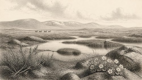
The most important Irish environmental evidence relevant to this broad interval comes from Derryvree near Maguiresbridge, County Fermanagh. Roadworks exposed a remarkable sequence in which freshwater silts, fine sands and organic deposits lay between two tills: unsorted debris deposited directly by glacier ice. The order is decisive. Ice had occupied the locality; thereafter an interval allowed water, sediments, plants and insects to accumulate; later glacial activity sealed the deposit beneath another till. Derryvree therefore proves that this part of Fermanagh was not continuously ice-covered throughout the last glacial cycle.
Organic material from the freshwater series produced the conventional radiocarbon result BIRM-166, 30,500 radiocarbon years BP, with an uncertainty of +1,170 and −1,030 years. That is not a calendar date and must not be converted mechanically into a particular BCE year. Modern calibration curves are built to correct for past changes in atmospheric radiocarbon, but at such antiquity they can produce broad and sometimes discontinuous calendar ranges. Derryvree is consequently an environmental witness for a lengthy interval, not evidence that a specific pond, plant or animal can be placed in 30,438 BCE itself.
What the deposit does show directly is a local freshwater environment in a generally cold landscape. Mosses, sedges and other plant remains, together with aquatic indicators including alternate water-milfoil, demonstrate shallow or slow-moving water and wet ground. Insects of northern, cold-adapted character reinforce the picture. This was not forested countryside. It was an open, exposed mosaic in which wetland margins could support life during a cold phase, while frost, short growing seasons and the proximity or recurrence of ice limited what could flourish.
Open Ground and Mobile Fauna
The plants at Derryvree provide evidence for a place, not a complete island-wide vegetation map. Still, they make a treeless or near-treeless environment far more plausible than woodland. Low herbs, sedges, mosses, dwarf shrubs and patches of more productive wet ground would have been especially important in a landscape where shelter and food were seasonally restricted. Summer light could have brought a brief burst of plant growth; winter conditions were severe. Such ecological patchiness matters because it determined where grazing animals, predators and any visiting people might move.
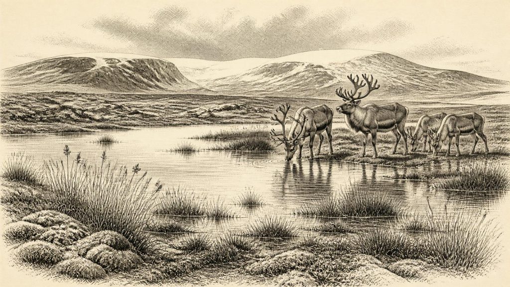
Caves in southern Ireland supply a complementary, but more difficult, faunal record. Castlepook Cave near Doneraile, County Cork, has yielded remains attributed to reindeer, giant deer, woolly mammoth, brown bear, wolf, Arctic fox, lemming and spotted hyaena. The Irish Quaternary Fauna Project demonstrated that a range of mammals reached Ireland between at least about 45,000 and 20,000 years ago. Yet cave assemblages are not snapshots: bones can be moved by water, carnivores, excavation and later disturbance, while specimens from different millennia may become mixed. The presence of a species at Castlepook is strong evidence that it inhabited the wider region at some point; it is not proof that every listed animal shared one valley in one season.
Reindeer are particularly apt symbols of this cold-world economy, but only with caution. Their remains indicate animals adapted to open terrain and capable of seasonal movement. Mammoth and giant deer point to a broader Pleistocene fauna, while hyaenas suggest scavenging, predation and the use of caves as dens as well as shelters. No evidence permits a count of herds, an annual migration route, or a claim that north Cork and Fermanagh had identical habitats. The archaeological lesson is variability: Ireland contained ecological opportunities, but these lay within an unstable climatic system becoming increasingly hostile.
The Human Question
There is no securely documented village, hearth, stone-tool workshop or burial that can be assigned to 30,438 BCE in Ireland. The possibility of people in the island’s wider Palaeolithic landscape nevertheless cannot be dismissed. A reindeer femur from Castlepook has been presented as bearing a mark made by a sharp stone implement during the processing of a fresh carcass; County Cork’s heritage record places it broadly around 31,000 BCE. If that interpretation is sustained, it would be startling evidence of human action in Ireland much earlier than the long-established post-glacial settlement record.
But the limits are as important as the possibility. A single modified bone does not establish whether people killed the animal, butchered it where it fell, briefly visited the cave, camped nearby, or returned repeatedly. Nor does it identify a community, language, social structure or route of arrival. Castlepook’s old excavations produced abundant bones but imperfect contextual records, and recent researchers have stressed the need for renewed excavation, modern dating and careful study of surviving deposits. The honest conclusion for this date is that short-lived human incursions are plausible, while permanent occupation remains unproven.
Society Without States
There can be no responsible account here of Irish kingship, diplomacy, territorial government or organised warfare. There were no recorded polities, monuments of authority or identifiable ethnic groups. If people did reach Ireland during a favourable window, their likely social scale was small and mobile, comparable in broad economic logic—not in any demonstrable cultural identity—to Upper Palaeolithic hunter-gatherers elsewhere in north-west Europe. Hunting and scavenging of large mammals, the collection of plant foods and the use of hides, sinew, bone and antler are reasonable possibilities, but they are interpretations drawn from wider European practice rather than direct evidence from an Irish camp.
The same restraint applies to religion, culture and learning. No cave art, figurine, ritual deposit, personal ornament, house plan or worked lithic assemblage is securely known from Ireland for this exact horizon. People, if present, certainly possessed knowledge: navigating difficult terrain, responding to weather, reading animal movement and making cutting tools require skill. Yet it would be misleading to turn that general human capacity into an Irish tradition for which the evidence has not survived. Silence in the record may reflect later ice action, rising seas and early excavation methods as much as genuine absence.
An Island in Transition
The most consequential development around this broad date was environmental: Ireland was entering the growth phase of the last British–Irish Ice Sheet. Later glaciation would remodel valleys, scour bedrock, spread till and erase or conceal many earlier surfaces. Derryvree survived precisely because its freshwater sediments were buried. Castlepook survived in another way, as a cave archive whose bones were protected but also reworked and mixed. These rare records explain why the period is known through fragments rather than a continuous narrative.
For Ireland, then, 30,438 BCE is not a year of named events. It is a point within a deep-time transition, illuminated by a Fermanagh wetland, Cork cave fauna and the mounting evidence for changing ice. Their combined testimony is modest but powerful: an open, cold and ecologically varied country existed before the ice-sheet maximum; animals moved through it; and people may, briefly, have done so too. Everything more specific must remain a question for future excavation and dating.
Primary Sources
- The Geological Heritage of County Leitrim
- Early Midlandian–Middle Midlandian, Pleistocene, Northern Ireland
- Middle Midlandian Interstadial Deposits at Greenagho, Near Belcoo, County Fermanagh, Northern Ireland
- Palaeoecology
- The IntCal20 Northern Hemisphere Radiocarbon Age Calibration Curve (0–55 cal kBP)
- Composition and Consequences of the IntCal20 Radiocarbon Calibration Curve
- Growth and Retreat of the Last British–Irish Ice Sheet, 31,000 to 15,000 Years Ago: the BRITICE-CHRONO Reconstruction
- The Timing and Magnitude of the British–Irish Ice Sheet Between Marine Isotope Stages 5d and 2
- Timing and Pace of Ice-Sheet Withdrawal Across the Marine–Terrestrial Transition West of Ireland During the Last Glaciation
- The Deglaciation of the Western Sector of the Irish Ice Sheet from the Inner Continental Shelf to its Terrestrial Margin
- Deglaciation Chronology of the Donegal Ice Centre, North-West Ireland
- Dimensions and Chronology of the Last Ice Sheet in Western Ireland
- Last Glacial Maximum Cirque Glaciation in Ireland and Implications for Reconstructions of the Irish Ice Sheet
- Trimlines, Blockfields and the Vertical Extent of the Last Ice Sheet in Southern Ireland
- The Irish Quaternary Fauna Project
- A Reconsideration of the Radiocarbon Dating of the Marine Isotope Stage 3 Fauna from Southern Ireland
- Archaeology Research Excavation Grant 2022: Castlepook Cave Project Final Report
- Heritage Artefacts of County Cork
- Europe and the County of Cork: A Heritage Perspective
- Castlepook Cave, Co. Cork, 2022 Excavation Report
- First Evidence of a Late Upper Palaeolithic Human Presence in Ireland
- New Insights on the Fauna of Ireland’s Younger Dryas and Early Holocene from Alice & Gwendoline Cave
- Myriophyllum alterniflorum: Fossil Occurrence in Fermanagh