Menyanthes Trifoliata30439 BCE
Around 30,439 BCE, Ireland lay within the unstable Late Pleistocene, rather than a recoverable year. At Derryvree, County Fermanagh, freshwater sediments between glacial tills preserve evidence of an ice-free interval: bogbean, sedges, mosses, aquatic plants and Arctic-alpine vegetation occupied cold, open wetlands. Later ice advances buried and eroded much evidence. Castlepook Cave, County Cork, records fauna, including reindeer, mammoth, giant deer, predators and small mammals, accumulated over long periods. A possibly cut-marked reindeer bone suggests brief Upper Palaeolithic human activity, but cannot prove settlement or colonisation. The evidence depicts shifting climates, seasonal habitats and intermittent access, not continuous human occupation.
Dateline
30,439 BCE is a modern label imposed on a world that had no calendars, names for years, written memory or historically identifiable communities in Ireland. It corresponds roughly to 32,400 years before the conventional radiocarbon reference date of AD 1950, but no Irish deposit can be dated to that individual calendar year. The responsible view is therefore regional and chronological: this was the Late Pleistocene, within the climatically unstable latter part of Marine Isotope Stage 3, before the fullest expansion of the last British–Irish Ice Sheet. Ireland’s evidence comes not from chronicles or settlements, but from sediments, fossil plants, animal bones, cave deposits and the marks later ice left upon them.
A Date Beyond Annual History
Even the best dates require care. Radiocarbon results are expressed first in radiocarbon years before present and then calibrated against changing atmospheric carbon levels to produce calendar-age ranges. At these depths of time, both laboratory uncertainty and the calibration curve are substantial. A single sample dates the death of an organism or the formation of organic matter, not a political event, a season or a human visit. “30,439 BCE” should thus be read as a point within a broad archaeological horizon, not as a recoverable Irish year.
The closest important environmental anchor is Derryvree, near Maguiresbridge in County Fermanagh. Roadworks in 1969 cut through a drumlin and revealed freshwater silts and fine sands sealed between two separate sheets of glacial till. Organic material from the intervening deposit, laboratory sample BIRM-166, gave a conventional radiocarbon age of 30,500 years BP, with an uncertainty of more than a millennium. Later calibrations and syntheses place the deposit broadly in the middle-to-later part of the thirty-thousandth millennium before present, rather than at a pinpoint date. It is relevant to 30,439 BCE because it preserves a rare Irish landscape of this general age; it does not prove that the visible wetland existed in that exact year.
A Wetland Between Ice Advances
Derryvree’s importance lies in its position between tills. The lower till records an earlier ice advance; the organic freshwater layer records a period when ice had withdrawn or was absent locally; the upper till demonstrates that ice returned later. This sequence decisively complicates any simple picture of an Ireland continuously buried under ice throughout the last Ice Age. It shows that, at least in south Fermanagh during one interval, standing or slow-moving fresh water supported plants and small animals before later glaciation sealed the evidence beneath the drumlin.
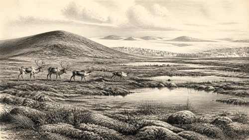
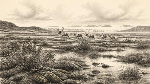
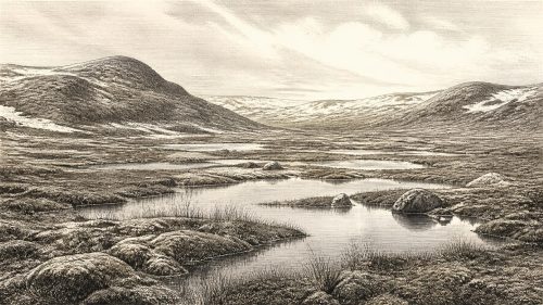
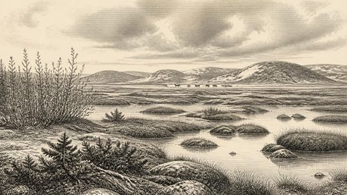
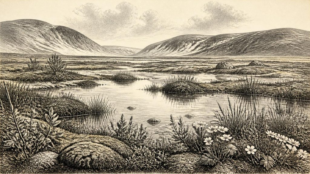
The fossils indicate a cold, open, periglacial setting, not the green and wooded Ireland familiar today. Mosses, sedges and herbaceous plants are prominent. Plant macrofossils include bogbean (Menyanthes trifoliata), mountain avens (Dryas octopetala), dwarf willow and aquatic plants including water-milfoil. Together they suggest shallow water, wet margins and patches of sparsely vegetated ground within a wider tundra-like mosaic. The exact distribution of each plant cannot be reconstructed, and a single basin need not represent all districts of Ireland. Nonetheless, the assemblage is direct evidence that cold-season wetlands and resilient Arctic-alpine vegetation existed on an ice-free part of the island.
There were probably no closed forests in this Fermanagh landscape. The sparse or poorly preserved pollen of trees is not enough to demonstrate local woodland, since pollen can travel far or be redeposited. The stronger evidence is for exposed ground, frost action, short growing seasons and waterlogged hollows. In summer, low vegetation could briefly flourish at pool edges; in winter, freezing, snow cover and severe winds would have dominated. Such conditions made the availability of forage, shelter and passable routes seasonal and unpredictable.
An Island in a Changing Ice World
At this point in the last glacial cycle, the major ice expansion that would remodel much of Ireland still lay ahead, although ice masses and ice margins were already dynamic. The eventual local maximum of the British–Irish Ice Sheet is generally placed later, with extensive Irish and shelf ice developing between roughly 27,000 and 23,000 calibrated years BP. That later advance eroded, transported and buried much older evidence. It is one reason why a short-lived camp or animal kill of the thirty-second millennium BCE would be exceptionally unlikely to survive in the open landscape.
Regional geography was also unlike that of the modern island. Sea level was lower, coastlines were displaced and the Irish Sea world was shaped by changing water, ice and exposed shelf. Yet lower sea level should not automatically be turned into a simple land bridge or an easy overland route. Glacial ice, marine channels, relief and rapidly changing shorelines governed access. The evidence supports fluctuating ecological connections between Ireland, Britain and north-western Europe; it does not provide a mapped route or a dated migration across Ireland in 30,439 BCE.
Animals and Cave Archives
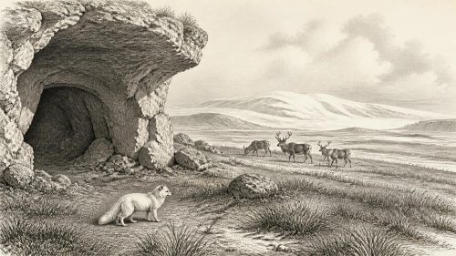
County Cork offers a second, very different window. Castlepook Cave, near Doneraile and also known as Mammoth Cave, yielded a remarkable Pleistocene bone collection. Reindeer, woolly mammoth, giant deer, brown bear, wolf, foxes, hares, lemmings and spotted hyaena have all been identified among its remains. The collection demonstrates that Ireland was intermittently accessible to a varied cold-climate fauna during the Late Pleistocene. Reindeer and lemmings point towards open, chilly habitats; hyaenas and wolves reveal large carnivores able to exploit those animal communities.
But Castlepook is not a frozen scene from one day, nor can its species be assembled into a single simultaneous herd. Cave deposits accumulated over long spans, sometimes as dens used by carnivores, sometimes through natural sediment movement, and many bones were recovered in antiquarian excavations without modern stratigraphic recording. Direct dating has improved the sequence, but it also stresses the need to distinguish the age of an individual bone from the age of the cave deposit as a whole. The assemblage is powerful evidence for Pleistocene fauna in Ireland, not a census for a particular year.
The Question of People
The most consequential, but still limited, indication of people at this broad horizon is a reindeer femur from Castlepook reported as bearing a cut mark made by a sharp stone tool. The bone has been publicly associated with an age of about 33,000 years ago, close enough to make it relevant to the present timeframe. If the mark is correctly identified and dates to fresh-bone processing, it would show that people handled a reindeer carcass in Ireland during the Upper Palaeolithic—far earlier than the island’s securely established post-glacial settlement record.
That conclusion must remain carefully bounded. The femur was not recovered from a modern excavation of an intact living surface alongside a hearth, stone tools, refitting waste, shelter, burials or human remains. A date for the animal’s death does not by itself date the incision, and one modified bone cannot establish the duration, size, ancestry or frequency of human presence. Current research at Castlepook has identified surviving deposits and seeks better-contextualised evidence, but no permanent Upper Palaeolithic settlement has yet been demonstrated in Ireland. The most that can responsibly be said is that a brief human visit and carcass processing are plausible possibilities, not a documented colonisation.
Life, Skills and Limits
If people did reach Ireland around this period, they would have belonged to highly mobile hunter-gatherer worlds already widespread in Upper Palaeolithic Europe. Processing a large animal would imply practical knowledge: sharp stone edges, an understanding of joints and muscle, and the ability to use meat, fat, hide, sinew and bone. These are reasonable inferences from a genuine butchery mark; they are not evidence for a named culture, a settlement pattern or a local population. There is no securely associated Irish lithic industry from this date with which to identify their technology.
There is likewise no evidence for political affairs, warfare, diplomacy, trade networks, farming, pottery, metalworking, monuments, formal religious sites or artistic traditions in Ireland at 30,439 BCE. It would be misleading to supply such categories merely because a year-by-year history normally expects them. Animals moving through a glacial landscape did not constitute trade, and a possible hunting party did not constitute a polity. Nor can later Irish identities, languages or lineages be projected backwards across more than thirty millennia of climatic disruption and probable population discontinuity.
What This Horizon Means
The real history of this date is environmental possibility and archaeological survival. Derryvree records a small but vivid interval when freshwater pools, mosses, bogbean, sedges and Arctic-alpine plants occupied a Fermanagh landscape between ice advances. Castlepook records that large herbivores and predators entered the wider Irish region during the same broad Ice Age world, and it preserves a tantalising possible trace of human action. Subsequent glaciation erased or concealed much of the terrain on which those lives unfolded.
For that reason, 30,439 BCE is not an anniversary with an event attached. It is a scientifically reconstructed threshold: an Ireland of open ground, cold wetlands, mobile fauna and advancing climatic risk, known in fragments. The evidence is enough to reject an empty, featureless Ice Age island. It is not enough to claim a village, a people’s arrival or a continuous human story. The distinction between those two statements is the essential history of Ireland at this depth of time.
Primary Sources
- A Middle Midlandian Freshwater Series at Derryvree, Maguiresbridge, County Fermanagh, Northern Ireland
- Palaeoecology: North of Ireland Field Guide
- The Subdivision of the Quaternary Period in Ireland
- Exploring Controls of the Early and Stepped Deglaciation on the Western Margin of the British Irish Ice Sheet
- Marine Geophysical Evidence for Late Pleistocene Ice Sheet Extent and Recession off Northwest Ireland
- Growth and Retreat of the Last British–Irish Ice Sheet, 31,000 to 15,000 Years Ago: the BRITICE-CHRONO Reconstruction
- Pattern and Timing of Retreat of the Last British-Irish Ice Sheet
- Timing and Pace of Ice-Sheet Withdrawal Across the Marine–Terrestrial Transition West of Ireland During the Last Glaciation
- Pleistocene Glaciations in Ireland
- The Irish Quaternary Fauna Project
- The Colonization of Ireland: A Human Ecology Perspective
- New Insights on the Fauna of Ireland’s Younger Dryas and Early Holocene from Alice & Gwendoline Cave
- Ireland: Submerged Prehistoric Sites and Landscapes
- Trimlines, Blockfields and the Vertical Extent of the Last Ice Sheet in Southern Ireland
- Late Pleistocene Mountain Glacier Response to North Atlantic Climate Change in South West Ireland
- Archaeology Research Excavation Grant Report: Castlepook Cave
- Archaeological Heritage of County Cork
- Heritage Artefacts of County Cork
- BSBI: Menyanthes trifoliata
- BSBI: Dryas octopetala