Membership is completely free, giving members unlimited access to all available resources, services, features, and benefits without any restrictions or fees.
Welcome back. Sign in to continue enjoying unlimited access to all available resources, services, features, and member benefits at no cost.
About this notional date, Ireland lay within the later part of the Pleistocene and Marine Isotope Stage 3, shortly before the fullest expansion of the last British–Irish Ice Sheet. It was not yet the uniform, island-wide ice cover often imagined by later Ice Age pictures. The timing and reach of ice varied sharply between regions, and the history has been revised repeatedly as new dating programmes have tested older landform interpretations. Broad syntheses place the build-up of the last major ice sheet after roughly 35,000–32,000 years ago, while its maximum extent in the Irish Sea and around Ireland belongs principally to a later interval, conventionally around 27,000–21,000 years ago, with some sector-specific maxima around 26,000–23,000 years ago.
Derryvree was exposed during roadworks in 1969, where a cut through a drumlin revealed a freshwater sequence trapped between two thick tills, sediments laid down by ice. This arrangement is the key to its importance. The lower till records an earlier glacial episode; above it lay silts, sands and organic material accumulating when water, vegetation and animals occupied the locality; the upper till shows that ice later returned and buried the wetland. The deposit is therefore not a snapshot of an untouched landscape. It is a small, exceptionally valuable survival from an interval between advances of ice.
Derryvree was revealed by roadworks in 1969, which cut through a drumlin: a streamlined hill made largely of till, the unsorted mixture of clay, stones and debris left by glacier ice. The exposure showed two thick and distinct till sheets. Between them lay fine sands, freshwater silts and organic deposits. The basic sequence is unusually eloquent. Ice had occupied the locality and deposited the lower till. Later, the site held fresh water and wet ground long enough for sediment, plants and small animals to accumulate. A renewed advance of ice, or at least ice depositing glacial debris, then buried and protected that interval beneath the upper till.
The most useful Irish chronological anchor is Derryvree, near Maguiresbridge in County Fermanagh. Road cutting through a drumlin in 1969 exposed freshwater silts, fine sands and organic deposits lying between two layers of glacial till. Till is the unsorted debris left by moving or melting ice. The sequence is important because it records a local order of events: glacier ice had affected the area; an interval of freshwater deposition and plant growth followed; then later ice overrode and sealed the deposit.
The best Irish environmental evidence close to this notional date comes from Derryvree, near Maguiresbridge in County Fermanagh. Roadworks in 1969 cut through a drumlin and revealed fine sands, silts and organic freshwater deposits enclosed between two layers of till, the debris left by glacial ice. The sequence is decisive in one important respect: ice had occupied the locality, then a period without overriding ice allowed water, sediment, plants and small animals to accumulate, before a later advance deposited the upper till and sealed the record.
The closest important Irish chronological anchor is the Derryvree deposit near Maguiresbridge, County Fermanagh. Organic freshwater sediments there produced a radiocarbon determination of about 30,500 radiocarbon years before present, with a large uncertainty. When calibrated against changing past concentrations of atmospheric carbon-14, this has been placed broadly at about 36,900–31,700 calibrated years before present. The modern label 31,012 BCE lies within that broad range. It does not follow that every plant, insect or pool represented in the deposit existed in that exact year, nor that conditions at Derryvree applied unchanged across all of Ireland.
The most useful Irish chronological anchor is the freshwater deposit at Derryvree, near Maguiresbridge in County Fermanagh. Roadworks in 1969 cut through a drumlin and exposed organic silts and fine sands lying between two separate sheets of glacial till. The arrangement matters: ice had formed the lower till, a period of open freshwater and vegetation followed, and a later advance laid down the upper till. Organic material from the intervening beds yielded a conventional radiocarbon determination of 30,500 +1,170/−1,030 radiocarbon years BP. Later calibration places its broad probability range at approximately 36,900–31,700 calendar years BP.
Ireland was in the later part of the Midlandian glaciation, but this did not mean a single, static island buried continuously beneath one uniform ice sheet. Ice expanded and contracted repeatedly; climates shifted sharply; and local conditions differed between uplands, coasts, caves and lowland basins. Around the broad period represented by 31,159 BCE, the British–Irish Ice Sheet was building towards its later maximum, conventionally placed many millennia afterwards, around 28,000–20,000 calibrated years before present. Reconstructions of its earlier growth remain contested, especially in a landscape whose older deposits were repeatedly eroded, overridden or buried by later ice.
At Derryvree, roadworks in 1969 cut through a drumlin and exposed freshwater silts and fine sands sealed between two thick layers of till: the unsorted debris deposited by glacier ice. That sequence establishes a relative history. Ice had covered the locality; an ice-free interval followed, allowing water, sediment and organic matter to accumulate; then a later glacier overrode and sealed the deposit. Organic material from the freshwater bed produced a conventional radiocarbon determination of 30,500 radiocarbon years before present, with a substantial uncertainty of +1,170 and −1,030 years.
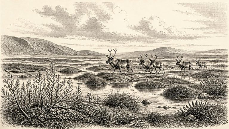
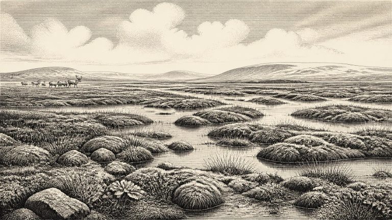
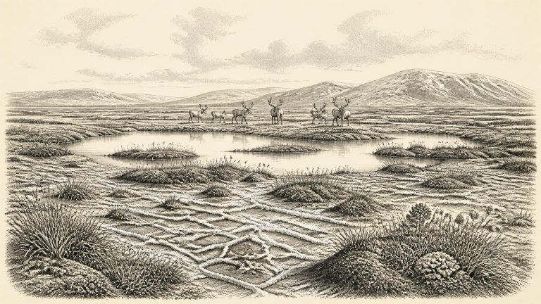
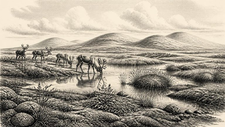
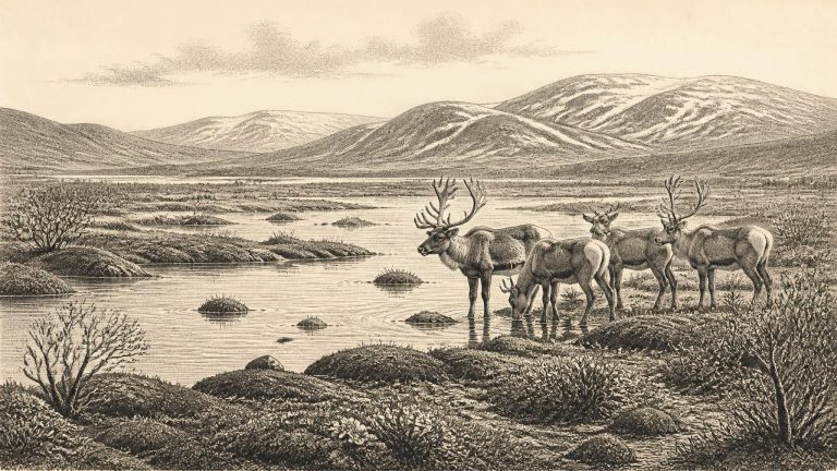
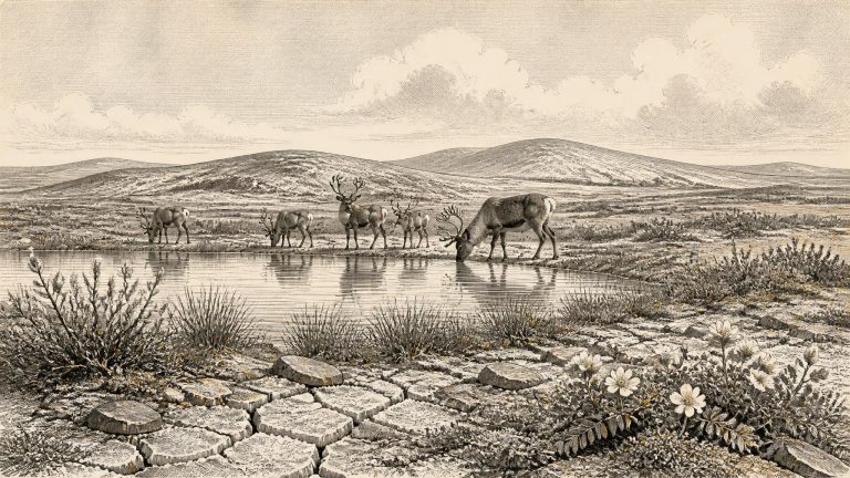
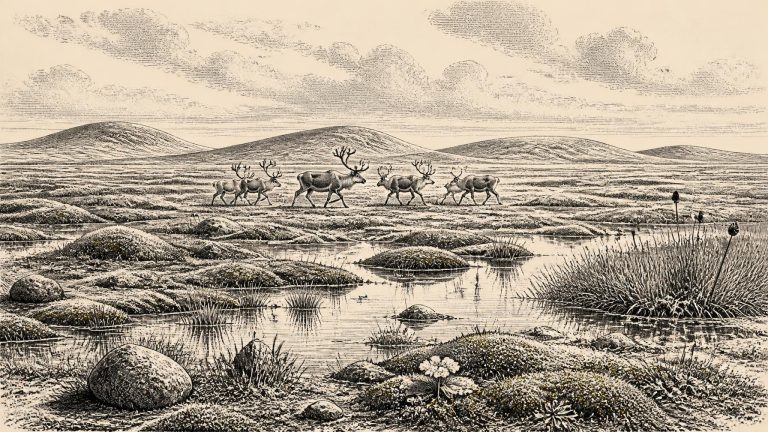
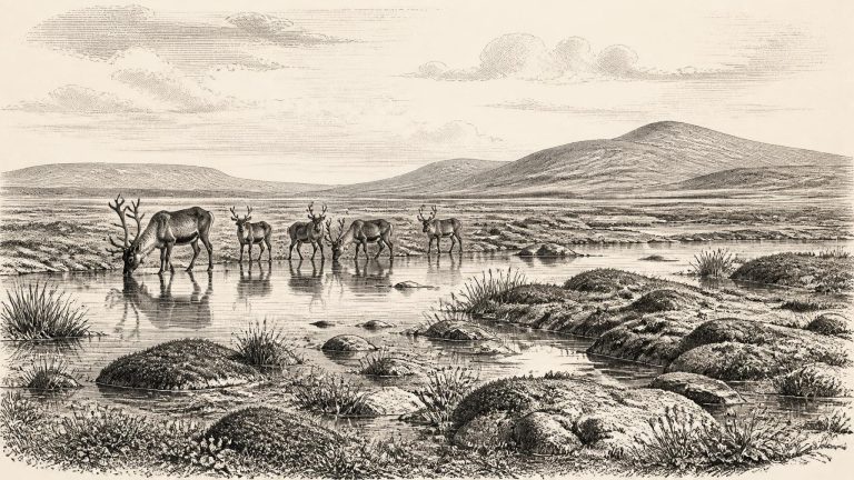
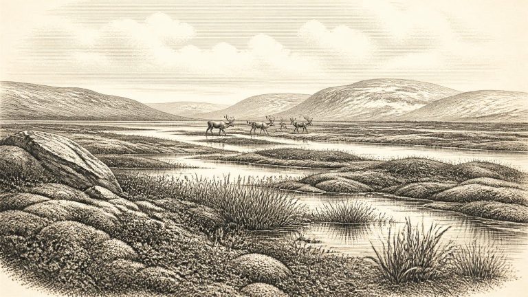
The clearest Irish environmental archive relevant to this date is at Derryvree, near Maguiresbridge in County Fermanagh. Roadworks in 1969 cut through a drumlin and revealed a remarkable sequence: freshwater silts and fine sands, rich in organic material, lay between two thick and distinct layers of glacial till. The lower till testified to an earlier advance of ice; the upper till showed that ice later returned and buried the wetland deposit. Between them survives a brief geological window onto an ice-free, intensely cold landscape.
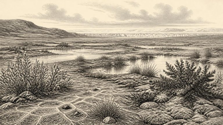
Ireland was not yet at the full extent of the last British–Irish Ice Sheet. The later maximum, broadly around 27,000–23,000 calibrated years before present in reconstructions of Ireland and its continental shelf, would bury or transform much of the country. Around the notional year used here, ice, climate and sea level were already changing on a continental scale, but the pattern was regionally uneven. Some ground was ice-free; other areas may have been affected by advancing ice or severe periglacial conditions, in which repeated freezing and thawing shaped exposed soils and sediments.