Tundra Herbs30895 BCE
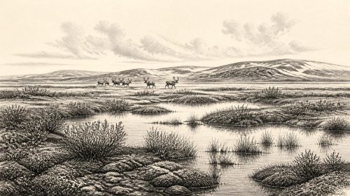
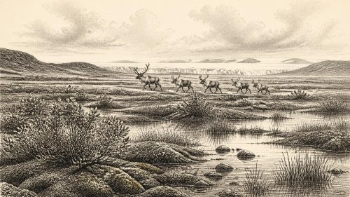
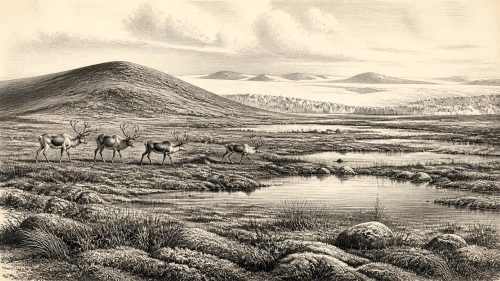
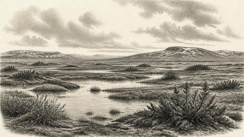
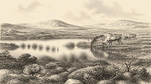
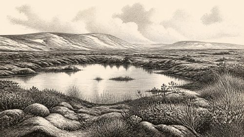
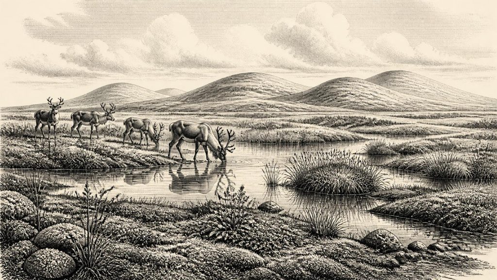
Around 30,895 BCE, Ireland was within the unstable Late Pleistocene MIS 3, not a dateable historical year. At Derryvree near Maguiresbridge, Fermanagh, organic layers between glacial tills indicate a temporary cold, treeless freshwater wetland, supporting tundra plants, mosses and small animals before renewed ice cover. Castlepook Cave, Cork, preserves a time-mixed fauna including reindeer, mammoth, giant deer, hare, fox, lemming, bear and hyaena, evidencing open habitats and European ecological connections. A possibly tool-marked reindeer femur suggests, but does not prove, early human activity. No settlement, polity, farming, trade, ritual or enduring population is known; sediments and fossils provide the record.
Dateline
Modern calendar-year precision is not available for Ireland in 30,895 BCE. No person on the island left a written calendar, and no surviving archaeological layer can be assigned to that particular year, season or generation. The date is therefore best treated as a modern point within a much wider Late Pleistocene horizon: Marine Isotope Stage 3 (MIS 3), an unstable portion of the last Ice Age. In simple calendar arithmetic it lies about 32,844 years before AD 1950, the conventional reference point for radiocarbon ages. That calculation is not itself a scientific date for an Irish event.
The nearest evidence comes not from a settlement or a historical episode, but from environmental records and cave fauna. These sources show that parts of Ireland were at times ice-free, cold and biologically active before the major expansion of the British–Irish Ice Sheet. They do not show a united landscape, a permanent human population or any of the political and cultural institutions familiar from later prehistory. Around this notional date, the most responsible account is one of changing ice, tundra wetland, animals and the very limited traces by which scientists reconstruct a vanished world.
A Broad Date, Not a Chronicle
The most useful Irish chronological anchor is Derryvree, near Maguiresbridge in County Fermanagh. Road cutting through a drumlin in 1969 exposed freshwater silts, fine sands and organic deposits lying between two layers of glacial till. Till is the unsorted debris left by moving or melting ice. The sequence is important because it records a local order of events: glacier ice had affected the area; an interval of freshwater deposition and plant growth followed; then later ice overrode and sealed the deposit.
Organic material from the Derryvree deposit produced the radiocarbon determination BIRM-166, conventionally reported as 30,500 +1,170/−1,030 radiocarbon years BP. Radiocarbon years cannot simply be converted into BCE years, because atmospheric carbon-14 has varied through time. Calibration produces a considerably broader calendar range. Published discussions place the deposit broadly at about 36,900–31,700 calibrated years BP, approximately 34,950–29,750 BCE. The requested year falls within that wide interval, but it cannot be pinned to a particular sediment band or living community at Derryvree. The deposit is evidence for an environmental phase, not an annual record.
Wet Ground Beneath the Drumlins
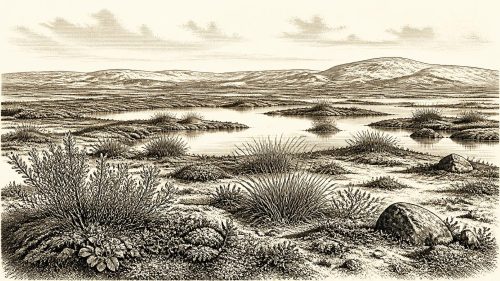
Derryvree provides an unusually vivid local glimpse of Ireland during this phase. Its pollen, plant macrofossils, mosses and small-animal remains indicate a cold, open and largely treeless landscape with freshwater pools, marshy ground and periglacial conditions. Periglacial does not mean covered by glacier ice: it describes ground shaped by severe cold, freezing and thawing near an ice margin. The area around Maguiresbridge was not a familiar green Irish pasture or closed woodland. Vegetation was sparse in drier places, while wetter hollows sustained a richer wetland flora.
The fossil assemblage includes herbaceous plants and mosses associated with tundra conditions, alongside aquatic and wetland species. Finds linked with bogbean and mountain avens are especially useful because they support the picture of cold freshwater habitats and open ground. Such remains should not be turned into a detailed painting of every hillside. Pollen preservation was poor, and the site represents one basin in Fermanagh rather than the entire island. Yet the combined evidence firmly contradicts an image of Ireland as uniformly buried beneath ice throughout the whole period.
Water was central to this landscape. Seasonal meltwater, shallow pools, sedge-rich margins and saturated sediment created small refuges for plants and invertebrates. Frost action and thin vegetation would have left much ground exposed. The deposit’s later burial beneath till is equally significant: it demonstrates that this viable wetland interval was temporary in geological terms. Ice returned, reworked terrain and concealed much of the evidence that might otherwise reveal more about Late Pleistocene Ireland.
Animals in a Changing Island Landscape
Cave deposits, above all those from Castlepook Cave near Doneraile in north County Cork, add a second and very different body of evidence. The cave has yielded remains of large mammals and cold-adapted species, including reindeer, woolly mammoth, giant deer, hare, fox, lemming, bear and spotted hyaena. These finds establish that Irish environments during parts of MIS 3 could be linked ecologically to north-western Europe and could support animals adapted to open, cold country.
There is an important qualification. Castlepook is a cave bone archive accumulated over a long period, not a single occupation surface or a snapshot of 30,895 BCE. Animals represented there did not necessarily live together, and individual bones may have been dragged in by carnivores, transported by water, disturbed by later processes or recovered in early excavations with limited stratigraphic recording. Improved radiocarbon methods have also shown that some older Irish cave dates need reassessment. The cave is powerful evidence for a changing regional fauna, but it cannot supply an exact inventory for one year.
Even so, the animal record matters for how Ireland’s environment is understood. Mammoths, reindeer and hyaenas imply episodes of broad, open habitats rather than dense forest; predators and scavengers point to food chains in which carcasses could be redistributed far from where animals died. The availability of grazing and wetland resources would have shifted with climate, season and the advance or retreat of ice. Ireland’s physical geography was also unlike that of the modern island. Sea level was lower than today, but the Irish Sea basin, local ice and changing water barriers make any particular route for animal or human movement uncertain.
The Reindeer Femur Question
One object from Castlepook has particular importance for human history: a reindeer femur reported as roughly 33,000 years old and bearing a deep mark interpreted by zooarchaeologist Ruth Carden as damage made by a sharp stone tool while the bone was fresh. If that interpretation is confirmed, it would indicate that a person or people processed a reindeer in Ireland during MIS 3, far earlier than the long-established evidence for post-glacial settlement. It would be a remarkable trace of Upper Palaeolithic activity.
That is not, however, evidence for an Ice Age village, a named hunting people or a settled Irish population. The bone comes from a complex cave assemblage rather than a securely excavated camp floor. No associated stone-tool industry, hearth, dwelling, burial, food store or repeated concentration of butchered animals of comparable age has yet demonstrated a residential site. A date on bone establishes when the animal lived; identifying a human-made mark is a separate specialist judgement; neither automatically reveals when, where or by whom a carcass was processed. The cautious conclusion is that early human presence is possible and potentially very significant, but remains narrowly evidenced.
No Polities, No Trade Network, No Known Ritual
For political affairs, conflict, diplomacy, religion, learning and formal culture, the honest answer is silence. There are no rulers, communities, territorial boundaries, weapons of conflict, monuments, artworks, graves or ritual deposits securely attributable to Ireland at this time. Nor is there evidence for agriculture, livestock, pottery, metalworking, trade or permanent settlement. It would be misleading to fill these absences by borrowing the social arrangements of later Mesolithic or Neolithic Ireland.
If people did reach Ireland during this phase, the practical circumstances suggest highly mobile foraging rather than farming: any visit would have taken place amid cold-season hazards, sparse vegetation and shifting access routes. But this is an inference from the environment and wider Upper Palaeolithic comparison, not a demonstrated Irish way of life. There is no basis for assigning language, ethnicity, belief or political organisation to such hypothetical visitors. The principal agents visible in the evidence are climate, ice, water, plants, herbivores and carnivores.
A Briefly Visible World
Regional variation is essential. Derryvree records a freshwater tundra wetland in Fermanagh; Castlepook records an accumulated cave fauna in Cork. Neither can stand for all Ireland. Other local archives, including cave speleothems and intertill deposits, confirm that the island’s conditions changed repeatedly through the glacial cycle. The approach of the Last Glacial Maximum, thousands of years after this broad horizon, would reshape landscapes and erase, bury or scatter many earlier traces.
The significance of 30,895 BCE is therefore not a recorded Irish event but a fragile window into deep time. Beneath a Fermanagh drumlin, mosses, seeds and silts preserve evidence that cold freshwater life existed between episodes of glaciation. In a Cork cave, animal bones reveal connections with the wider Pleistocene fauna of Europe and raise a carefully qualified question about people. Together they show an Ireland that was neither historically knowable nor environmentally empty: a severe, changeable country whose story survives only in sediments, fossils and the methods used to read them.
Source References
Hover over a number to see the source. Select it to open the source.

- [1] Palaeoecology
- [2] Exploring the last Irish Ice Sheet and its sensitivities to climate forcing
- [3] A reconsideration of the radiocarbon dating of the Marine Isotope Stage 3 fauna from southern Ireland
- [4] The genetic distinctiveness of red deer (Cervus elaphus) in Ireland and Scotland
- [5] The Irish Quaternary Fauna Project
- [6] The colonization of Ireland: A human ecology perspective
- [7] New insights on the fauna of Ireland's Younger Dryas and Early Holocene from Alice & Gwendoline Cave
- [8] New Insights on the Fauna of Ireland’s Younger Dryas and Early Holocene from Alice & Gwendoline Cave
- [9] Heritage Artefacts of County Cork
- [10] Archaeology Research Excavation Grant 2022: Final Report
- [11] UCD School of Archaeology Research Day 2022
- [12] Ireland’s Palaeolithic Archaeology – Fleeting Footprints in a Frozen Land
- [13] Dryas octopetala L.
- [14] Menyanthes trifoliata L.
- [15] Understanding Earth Processes, Rocks and the Geology of Ireland
- [16] The Geology of Ireland
- [17] The Last Deglaciation: Timing the retreat of the Antarctic Ice Sheet
- [18] A stratigraphic framework for abrupt climatic changes during the Last Glacial period based on three synchronized Greenland ice-core records
- [19] The IntCal20 Northern Hemisphere Radiocarbon Age Calibration Curve (0–55 cal kBP)
- [20] The Last Glacial Maximum in the North Atlantic region
Primary Sources
- Palaeoecology
- Exploring the last Irish Ice Sheet and its sensitivities to climate forcing
- A reconsideration of the radiocarbon dating of the Marine Isotope Stage 3 fauna from southern Ireland
- The genetic distinctiveness of red deer (Cervus elaphus) in Ireland and Scotland
- The Irish Quaternary Fauna Project
- The colonization of Ireland: A human ecology perspective
- New insights on the fauna of Ireland's Younger Dryas and Early Holocene from Alice & Gwendoline Cave
- New Insights on the Fauna of Ireland’s Younger Dryas and Early Holocene from Alice & Gwendoline Cave
- Heritage Artefacts of County Cork
- Archaeology Research Excavation Grant 2022: Final Report
- UCD School of Archaeology Research Day 2022
- Ireland’s Palaeolithic Archaeology – Fleeting Footprints in a Frozen Land
- Dryas octopetala L.
- Menyanthes trifoliata L.
- Understanding Earth Processes, Rocks and the Geology of Ireland
- The Geology of Ireland
- The Last Deglaciation: Timing the retreat of the Antarctic Ice Sheet
- A stratigraphic framework for abrupt climatic changes during the Last Glacial period based on three synchronized Greenland ice-core records
- The IntCal20 Northern Hemisphere Radiocarbon Age Calibration Curve (0–55 cal kBP)
- The Last Glacial Maximum in the North Atlantic region