Membership is completely free, giving members unlimited access to all available resources, services, features, and benefits without any restrictions or fees.
Welcome back. Sign in to continue enjoying unlimited access to all available resources, services, features, and member benefits at no cost.
The most illuminating evidence comes from deposits buried beneath later glaciers. At Derryvree, near Maguiresbridge in County Fermanagh, road works cut through a drumlin and revealed organic silts and fine sands between two distinct sheets of till. This was not a settlement layer. It was the residue of a freshwater environment later overridden and sealed by ice. The deposit produced a radiocarbon determination of 30,500 years BP, with a large laboratory uncertainty of +1,170 and −1,030 years. Published calibrations express its possible calendar age as a broad interval, approximately 36,900–31,700 cal BP. That range encompasses the modern date-label 31,624 BCE, but it cannot tell us what happened in one particular year.
Ireland lay within the climatic world of the last Ice Age, but it was not yet simply an island buried beneath the ice sheet familiar from later reconstructions of the Last Glacial Maximum. The British–Irish Ice Sheet grew and altered over long timescales, with its most extensive late-glacial phase occurring substantially later, broadly after c. 27,000 calibrated years BP. A modern reconstruction places a major phase of ice-sheet growth between about 31,000 and 26,000 years BP, followed by maximum volume around 23,000 years BP. The numerical date represented by 31,633 BCE therefore belongs to an earlier and unstable interval, when conditions, ice margins and habitats could change greatly across centuries and millennia.
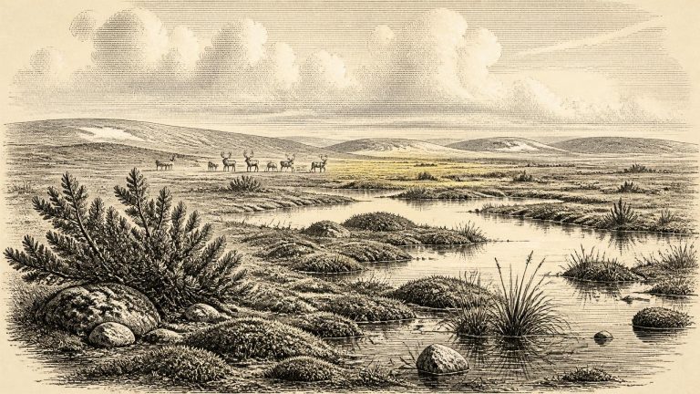
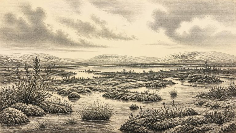
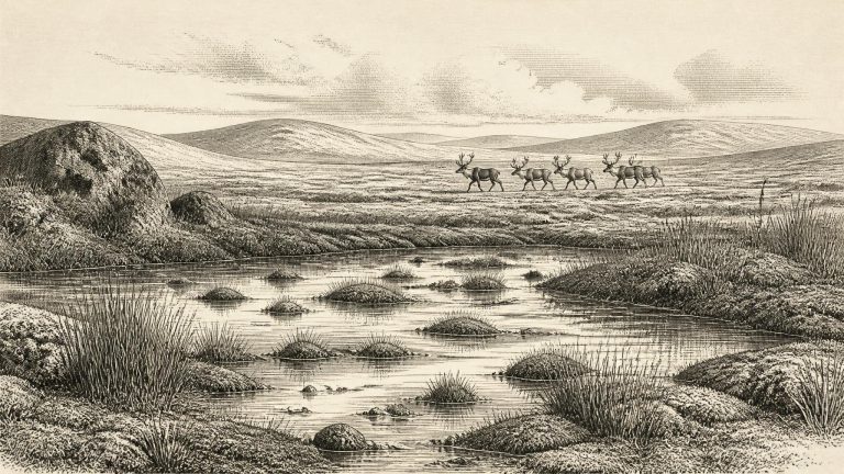
The appropriate framework is the Middle Midlandian, the Irish term for part of the last cold stage. This was before the fullest development of the Last Glacial Maximum, when the British–Irish Ice Sheet later covered much of Ireland. It was nevertheless an age of profound climatic severity and rapid change. Ice margins advanced and withdrew; sea level, coastlines and drainage altered; plant and animal communities expanded into favourable ground and disappeared when conditions worsened. Ireland was not simply a fixed white island beneath permanent ice, nor was it a familiar green landscape awaiting settlement. It was a shifting north-western edge of Ice Age Europe.
The closest securely dated environmental archive is at Derryvree, near Maguiresbridge in County Fermanagh. Road works in 1969 exposed freshwater silts and fine sands trapped between two tills within a drumlin. The organic deposit produced a conventional radiocarbon age of about 30,500 years BP. Calibration has placed it broadly between about 36,900 and 31,700 calibrated years BP. Thus 31,667 BCE falls near the younger end of a wide range relevant to this buried landscape, not at a pinpoint that can be matched to a season, a generation or an individual occurrence.
The most relevant Irish chronological anchor lies at Derryvree near Maguiresbridge, County Fermanagh. Road cutting through a drumlin exposed freshwater silts and fine sands sealed between two distinct layers of glacial till. The organic deposit produced a radiocarbon determination of 30,500 years before present, with a large laboratory uncertainty. Published calibration places its possible age broadly around 36,900–31,700 calibrated years before present. That range embraces the modernly calculated position of 31,673 BCE, but it emphatically does not identify a particular season, generation or year.
The closest Irish environmental evidence comes from Derryvree, near Maguiresbridge in County Fermanagh. Roadworks in 1969 cut through a drumlin and exposed freshwater silts and fine sands lying between two thick and distinct tills: sediments deposited directly by glacier ice. The order of those layers is crucial. Ice had first crossed the district; a period followed in which freshwater sediment and organic material accumulated in an ice-free or largely ice-free setting; then a later glacier advanced and sealed the evidence beneath another till sheet.
The numbered year falls within the calibrated range associated with organic sediments at Derryvree, near Maguiresbridge in County Fermanagh. Roadworks exposed a remarkable sequence through a drumlin: one body of glacial till lay below freshwater sands and silts, while another till sealed them above. The deposit consequently preserves an interval when ice was absent locally between two major phases of glaciation. Organic material from the freshwater beds produced a radiocarbon age of about 30,500 years before present; calibration has placed it broadly at approximately 36,900–31,700 calibrated years before present.