Membership is completely free, giving members unlimited access to all available resources, services, features, and benefits without any restrictions or fees.
Welcome back. Sign in to continue enjoying unlimited access to all available resources, services, features, and member benefits at no cost.
During roadworks in 1969, an excavation cut through a drumlin at Derryvree, about two kilometres north-east of Maguiresbridge. Beneath the drumlin’s surface, investigators found a striking sequence: a thick lower till, then fine sands, freshwater silts and organic muds, followed by another thick till. Till is the unsorted sediment deposited directly by glacier ice. The sequence therefore records an earlier glacial occupation, an intervening period in which the site supported water and living communities, and a later return of ice that sealed the evidence.
In 1969, roadworks cut through a drumlin at Derryvree, two kilometres north-east of Maguiresbridge. The exposure revealed a remarkably informative sequence: a lower glacial till, freshwater sands and silts with organic material, and a further till above. Till is the unsorted mixture of clay, stones and debris deposited directly by glacier ice. The order of the layers is decisive. Ice had occupied the locality; later, the ground was sufficiently free of ice for water, sediment, plants and small animals to accumulate; finally, ice returned or expanded across the site and sealed the record below another glacial deposit.
30,750 BCE is a modern chronological label, not a recoverable year in Ireland’s deep past. No Irish community then used a calendar known to archaeology, and no deposit, bone or landform can be assigned responsibly to that single year. In the conventional framework of years before present, measured from AD 1950, the label falls at roughly 32,700 calibrated years BP, within the Late Pleistocene and Marine Isotope Stage 3 (MIS 3). This was part of the last Ice Age: a long and climatically volatile interval, not one unchanging frozen age. The evidence is strongest for broad environmental conditions and animal life; it is markedly weaker for people. The appropriate history of Ireland at this point is therefore one of dates with wide margins, buried sediments, cave bones and the changing limits of ice.
This was the later part of Marine Isotope Stage 3, a climatically unstable interval of the last Ice Age, known in Irish and British geology as part of the Midlandian or Devensian cold stage. Ireland was not a uniformly frozen, unchanging white landscape. Ice cover expanded and contracted regionally over very long periods; temperatures, moisture and vegetation changed with it. The fullest development of the last British–Irish Ice Sheet still lay ahead. Yet the growing ice mass, altered drainage and severe seasonal cold already made the island a difficult and shifting environment.
Derryvree is important because a road cutting through a drumlin exposed fine sands, freshwater silts and organic layers trapped between two thick tills. Till is the unsorted debris deposited by glacier ice. The stratigraphy establishes a sequence: glacial ice had affected the locality; an interval followed in which freshwater and organic sediments accumulated; then later ice overrode or approached the area sufficiently to leave the upper till. It is powerful evidence against a simplistic picture of Ireland as continuously buried beneath ice throughout the last cold stage.
The strongest evidence for conditions in or near this period comes from Derryvree, beside Maguiresbridge in County Fermanagh. Road works in 1969 cut through a drumlin and revealed organic freshwater silts and fine sands trapped between two thick tills: deposits left by ice before and after the wetland existed. Organic material from the layer produced the conventional radiocarbon result Birm-166, 30,500 years BP, with a large uncertainty of +1,170/−1,030 years. Later work has expressed the possible calibrated age span broadly as c. 36,900–31,700 cal BP. The modern label 30,838 BCE falls within that range, but it is not possible to say that the Derryvree sediments accumulated in that particular calendar year.
Derryvree was exposed during roadworks in 1969, when a cutting through a drumlin revealed a remarkable sequence. Between two thick tills – unsorted sediments laid down by glacier ice – lay freshwater silts, fine sands and organic muds. The order of the layers is the fundamental evidence: ice had occupied the locality; an interval then allowed water, vegetation and organic material to accumulate; and later ice or ice-related deposition sealed that wetland beneath another till sheet.
Organic material from the Derryvree freshwater series produced a conventional radiocarbon age of 30,500 +1,170/−1,030 radiocarbon years BP. Radiocarbon years are not calendar years. The proportion of radioactive carbon in the atmosphere has varied through time, so a measurement must be calibrated against independent records. Modern calibration places the Derryvree material broadly between about 36,900 and 31,700 calibrated years BP, approximately 34,950–29,750 BCE. The modern label 30,921 BCE lies within that wide range, but cannot be fixed to a particular layer, month, generation or environmental episode.
Derryvree matters because its structure records change. Till is debris deposited directly by glacier ice: a dense, unsorted mixture of clay, stones and larger fragments. At Derryvree, a lower till was followed by freshwater and organic sediments, then by another till. The simplest reading is that glacier ice had occupied the locality, withdrew or ceased to cover it for a time, and was later replaced by renewed ice. This is not evidence for an entirely ice-free Ireland. It is evidence that at least parts of the northern landscape could, during the wider glacial cycle, contain exposed ground, standing or slow-moving water and living ecosystems between episodes of ice advance.
There are no Irish annals, settlements, monuments, artefacts in secure context or named communities for this period. There can be no account of a king, battle, alliance, migration fleet or religious ceremony in the normal historical sense. Nor is it responsible to convert a single animal bone or a patch of buried mud into a story of a settled population. What survives instead is a scattered archive: sediments sealed beneath later glacier deposits, pollen and plant macrofossils, insect remains, cave bones, landforms and radiocarbon measurements. These materials reveal environmental conditions and the presence of particular animals; they only sometimes allow cautious inferences about human activity.
The closest major Irish chronological anchor is Derryvree townland, near Maguiresbridge in County Fermanagh. Road construction in 1969 cut through a drumlin and exposed a remarkable sequence: freshwater silts and fine sands, including organic-rich layers, lay between two thick sheets of till. Till is the unsorted mixture of clay, stones and other debris laid down by glacier ice. The order of deposits establishes an environmental sequence of real importance. Ice had covered the locality; an interval then followed in which standing or slowly moving freshwater and plants accumulated sediment; later ice advanced again and sealed the archive beneath further till.
Derryvree is important because its organic bed lies between deposits made by ice. It demonstrates that this part of Fermanagh was ice-free long enough for freshwater sediments, plants and small animals to accumulate, before a later ice advance buried the evidence beneath till. The site therefore preserves a local interval of exposed ground within the fluctuating cold of Marine Isotope Stage 3, the long climatic phase preceding the coldest extent of the last glaciation.
The nearest important Irish chronological marker is the Derryvree freshwater series near Maguiresbridge, County Fermanagh. Organic material from this deposit produced the conventional radiocarbon determination BIRM-166: 30,500 radiocarbon years BP, with a large uncertainty of +1,170/−1,030 years. Radiocarbon years are not identical to calendar years because the amount of atmospheric carbon-14 has varied through time. Modern calibration therefore turns this result into a broad probability range rather than a single answer. The interval is commonly placed at approximately 36,900–31,700 calibrated years BP, or about 34,950–29,750 BCE. The article’s notional year falls within that broad span, but it cannot be assigned to a particular layer, season or episode at Derryvree.
Road works in 1969 cut through a drumlin at Derryvree and exposed an exceptional sequence: freshwater silts and fine sands, including organic material, trapped between two deposits of till. Till is sediment laid down directly by glacier ice. The sequence establishes a secure relative order. Ice had earlier occupied the locality and formed the lower till; a period without overriding local ice then allowed water, plants and sediment to accumulate; later glacial activity buried the deposit beneath a second till.
The closest detailed Irish environmental archive is at Derryvree, near Maguiresbridge in County Fermanagh. Roadworks in 1969 exposed a sequence within a drumlin: organic freshwater silts and fine sands lay between two substantial sheets of till, the unsorted debris deposited by glacier ice. The organic material yielded the conventional radiocarbon determination BIRM-166, 30,500 radiocarbon years before present, with a considerable uncertainty of +1,170 and −1,030 years. Later publications have expressed its calibrated range broadly as about 36,900–31,700 calendar years before present. The modern label 31,096 BCE sits within that broad span, but this does not mean that the deposit formed in that one year. It represents conditions accumulated over a long interval and dated by a technique whose precision diminishes at such depth in time.
Derryvree is important because it preserves a break in a glacial sequence. The lower till indicates that ice had previously reached the locality. Above it, freshwater sediments accumulated in an ice-free or at least locally deglaciated landscape. The upper till shows that glacier ice later returned. This is powerful evidence against any simple picture of Ireland as continuously buried under one uniform ice sheet throughout the later Ice Age. It also does not establish that the whole island was open at once. Ireland’s ice margins, uplands, lowlands and western marine approaches changed at different times, while later ice erosion destroyed much of the evidence that might have clarified the pattern.
Derryvree became important in 1969, when roadworks cut through a drumlin, exposing fine sands, silts and organic material caught between two thick sheets of till. Till is the unsorted mixture of rock, clay and debris laid down by glacier ice. The sequence therefore preserves a compelling local history: an earlier glacial advance, an interval in which water and organic matter accumulated, and a later advance that buried the record beneath fresh ice-borne sediment.
The most relevant Irish evidence comes from Derryvree, near Maguiresbridge in County Fermanagh. Road construction in 1969 cut through a drumlin and exposed an exceptional sequence: organic freshwater silts and fine sands lay between two substantial sheets of till, the unsorted sediment left by glacier ice. The order of events is secure even when the exact dates are not. Ice had first crossed the locality and deposited the lower till; later, glacier cover was absent long enough for water, sediment, plants and invertebrates to accumulate; finally, renewed ice advance laid down the upper till and sealed the wetland beneath it.
Radiocarbon years and calendar years are not interchangeable. The amount of radioactive carbon in the atmosphere has varied over time, so radiocarbon determinations must be calibrated against independently dated records. Even then, a result usually produces a probability range rather than a precise year. This is especially important beyond 30,000 years ago, where calibration is necessarily less exact than for later prehistoric periods.
The best direct environmental archive relevant to this date lies at Derryvree, near Maguiresbridge in County Fermanagh. Road works in 1969 cut through a drumlin and exposed organic silts and fine sands trapped between two thick layers of glacial till. The sediments produced the conventional radiocarbon determination Birm-166, about 30,500 radiocarbon years before present, with a substantial uncertainty. Using modern calibration, scholarship has placed this evidence broadly within approximately 36,900–31,700 calibrated years before present: in rough BCE terms, about 34,950–29,750 BCE.
Derryvree was exposed in road cuttings during 1969. Investigators found freshwater silts and fine sands enclosed between two substantial layers of till: debris deposited directly by glacier ice. This sequence is the essential fact. Before later ice covered and reshaped the district, an area of open water, wet ground and plant growth existed there long enough to leave organic traces. The upper till eventually sealed that evidence, preserving it beneath the drumlin that is visible today.
“Ireland” in this remote context means the landmass that would become the modern island, not a country with recognised borders, a people, or a political identity. Coastlines differed as global sea levels were lower, and the surrounding shelves, shallow seas and ice margins changed repeatedly. Yet it would be misleading to turn lower sea level into a simple land-bridge story. The geography of routes between Ireland, Britain and continental Europe was variable and imperfectly known; the existence of Ice Age mammals in Ireland shows that dispersal occurred during parts of the wider period, but does not identify a particular crossing, season or route.
Ireland was then part of a radically different north-west European world. Sea level was substantially lower than today because vast quantities of water were held in continental ice sheets. The Irish Sea basin and surrounding shelves were correspondingly altered, and the island’s coastlines lay far beyond their modern positions. This did not necessarily make Ireland continuously accessible on foot: changing sea channels, local ice, rivers, marshes and rough terrain all mattered. The precise configuration of land and water around the island at any moment remains modelled rather than directly observed.
The most useful Irish evidence comes from Derryvree townland, near Maguiresbridge in County Fermanagh. Road works in 1969 cut through a drumlin and exposed freshwater silts and fine sands lying between two thick tills: stony sediments laid down by glacier ice. This was an extraordinary survival. The organic, water-laid deposits recorded an interval when ice was absent locally, before the ground was again overridden or closely affected by a later advance. Pollen, plant macrofossils, mosses and insect remains were recovered from the buried sequence, making Derryvree a rare environmental archive from an otherwise badly erased period of Irish prehistory.
The closest especially informative Irish archive is at Derryvree townland, near Maguiresbridge in County Fermanagh. Road construction in 1969 cut through a drumlin and exposed freshwater silts and fine sands caught between two thick deposits of glacial till. Till is unsorted material laid down by glacier ice. The order of the layers is decisive: ice formed the lower till; an interval without local overriding ice allowed water, sediment and organic remains to accumulate; then a later ice advance sealed the wetland beneath another till.
The principal difficulty is chronological as well as archaeological. A conventional radiocarbon measurement is not itself a calendar date: atmospheric carbon levels varied through time, and laboratory results must be calibrated against independently dated natural archives. IntCal20, the current international Northern Hemisphere calibration curve used for this period, extends to 55,000 cal BP, but its use produces ranges rather than an exact anniversary. A modern date such as 31,477 BCE should therefore be treated as a point inside a broad time horizon, not as an occasion on which an Irish event can be narrated.
The most valuable environmental evidence comes from Derryvree, near Maguiresbridge in County Fermanagh. A road cutting exposed organic freshwater silts and fine sands trapped between two tills: deposits left respectively before and after separate incursions of glacier ice. The stratigraphy establishes a clear sequence. Ice had deposited the lower till; a non-glacial interval then allowed water, sediment and organic material to accumulate; a later ice advance sealed the deposits beneath another till.
Derryvree’s position between two tills is its great importance. Till is sediment laid down by glacier ice; the lower and upper deposits show that ice occupied this part of Fermanagh at different times. Between them came an interval when freshwater sediments, plants and insects could accumulate. The resulting record demonstrates that Ireland’s last glacial history was neither one unbroken freeze nor a simple march towards the Last Glacial Maximum. Ice margins advanced, withdrew or became restricted; cold, open habitats appeared in some districts; and later glaciers often buried, disturbed or destroyed the evidence.
Scientific dates of this antiquity are ranges, not timestamps. Radiocarbon ages measure the remaining carbon-14 in once-living material and must be calibrated because atmospheric carbon-14 has varied over time. The most relevant Irish determination is BIRM-166, taken from organic mud at Derryvree near Maguiresbridge in County Fermanagh. It produced a conventional result of about 30,500 radiocarbon years before present, with a large uncertainty. Modern calibration places its likely age broadly between about 36,900 and 31,700 calibrated years before present, approximately 34,950 to 29,750 BCE. Thus 31,556 BCE falls within the wide span associated with the deposit, but cannot be assigned to a particular season, layer, plant or event.
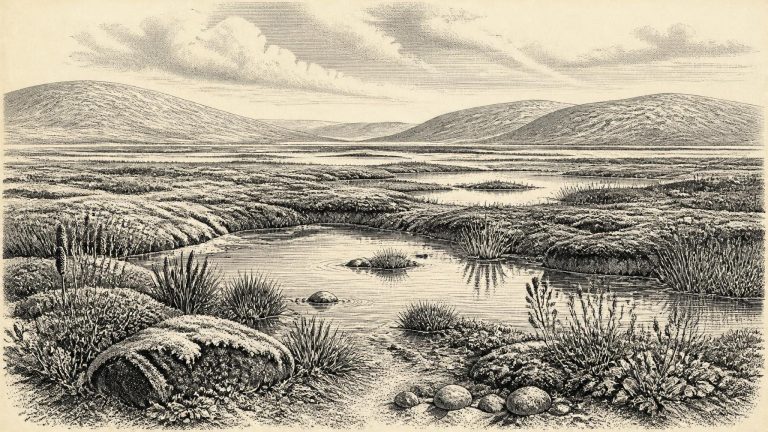
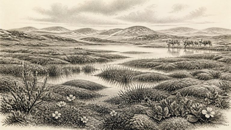
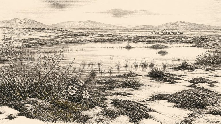
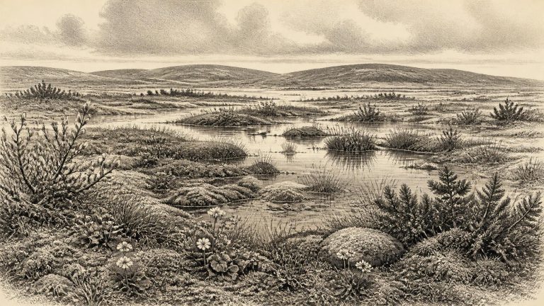
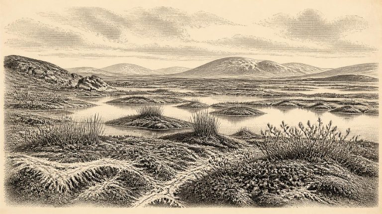
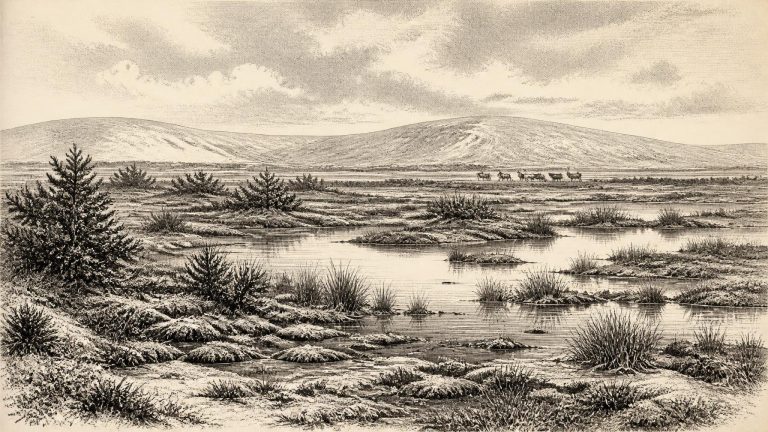
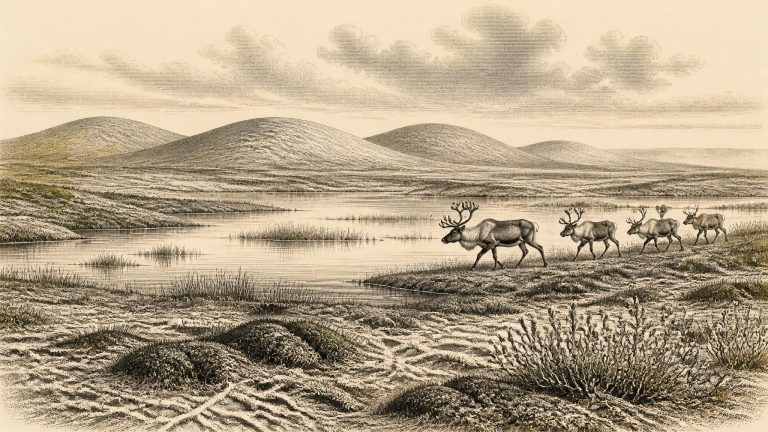
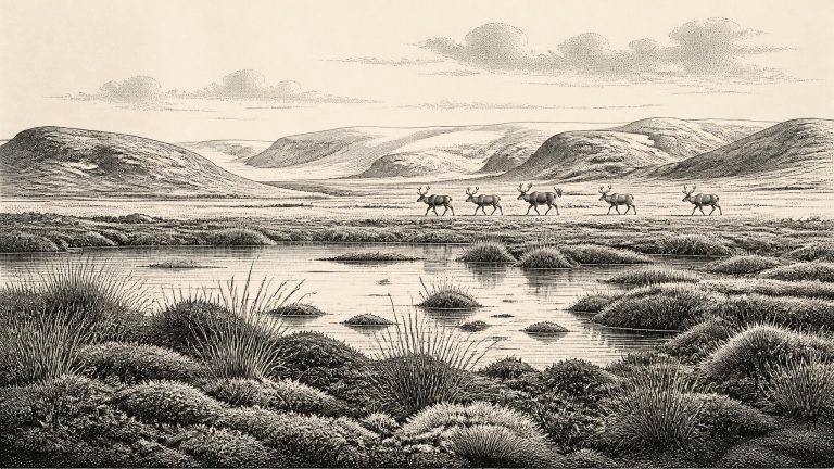
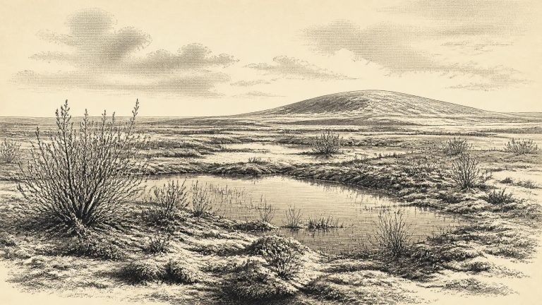
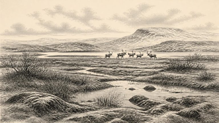
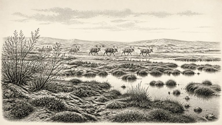
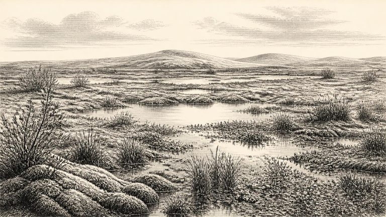
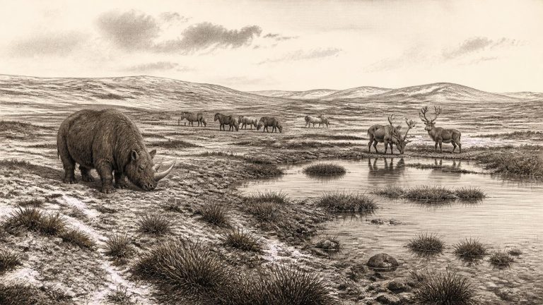
The Derryvree sediments preserve pollen, plant macrofossils, mosses and small animal remains from a cold phase before the most extensive late-glacial ice advance. Their broad message is clear: south Fermanagh supported open, treeless tundra under periglacial conditions. Ground could freeze deeply in winter, while summer thaw fed shallow pools, wet mossy ground and sedge-rich margins. This was not the modern green, wooded and densely settled Ireland. It was a seasonally severe landscape in which plant cover was generally low, broken by wetter habitats able to sustain more luxuriant vegetation.