Archive: Maguiresbridge

30150–30141 BCE

Maguiresbridge Silt Window

Maguiresbridge Silt Window

Ireland’s evidence for this period is exceptionally incomplete. Subsequent ice advances eroded older surfaces, moved sediments and buried earlier landscapes beneath till: the unsorted clay, stones and debris laid down by glaciers. Caves have preserved some animal bones, while rare buried organic layers have survived between glacial deposits. Neither source offers an uninterrupted national record. Rather, each is a local survival from a landscape repeatedly altered by ice, water, frost and time.
30190–30181 BCE

Threeleaf Pools at Maguiresbridge

Threeleaf Pools at Maguiresbridge

The closest direct chronological guide is not a human site but a road-cut through a drumlin at Derryvree, near Maguiresbridge in County Fermanagh. In 1969, excavations exposed freshwater silts and fine sands trapped between two separate layers of glacial till. Organic matter from the intervening deposit produced a conventional radiocarbon determination of 30,500 +1,170/−1,030 radiocarbon years BP, known as Birm-166. Subsequent calibration places the evidence broadly within about 36,900–31,700 calibrated years BP. The modern label 30,183 BCE falls within that wide range, near its younger end, but it does not date a single day or even necessarily one generation in the life of the wetland.

30220–30211 BCE

Maguiresbridge’s Frostwater Basin

Maguiresbridge’s Frostwater Basin

Derryvree’s importance lies in its stratigraphy. Roadworks in 1969 cut through a drumlin, exposing silts and fine sands containing organic material between two thick tills. Till is the unsorted mixture of clay, stones and other debris laid down directly by glacier ice. The lower till records an earlier episode when ice overrode the locality. The organic sediments show that, afterwards, a freshwater environment formed there. The upper till demonstrates that glacier ice later returned and sealed the deposit beneath it.

30260–30251 BCE

Bogbean at Maguiresbridge

Bogbean at Maguiresbridge

This was the Late Pleistocene, within Marine Isotope Stage 3 and the long Midlandian cold stage in Ireland. It lay before the Last Glacial Maximum, when ice later expanded across much of the island. The Irish landscape was neither fixed nor uniformly frozen. Ice sheets, periglacial ground, open water, exposed sediment and sparse vegetation shifted over long periods, sometimes differently from one region to another. The evidence is strong enough to reject an image of a timeless, featureless white wilderness; it is not strong enough to map conditions across every county in 30,256 BCE.

30310–30301 BCE

The Maguiresbridge Sedges

The Maguiresbridge Sedges

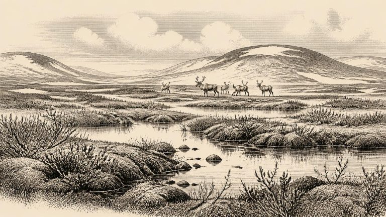
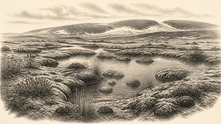
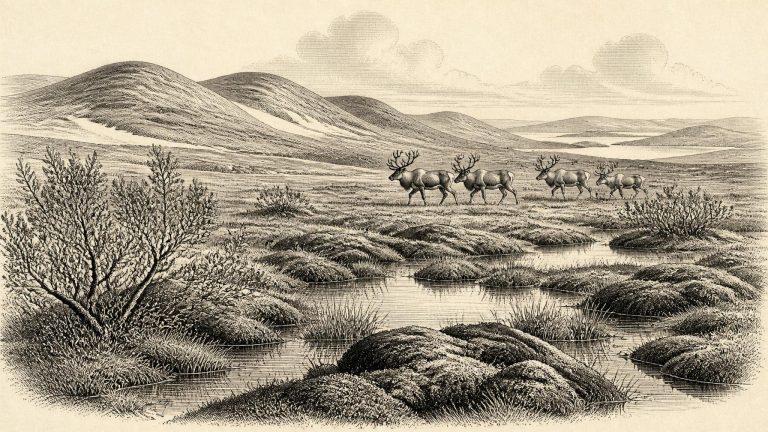
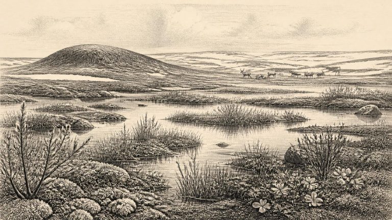
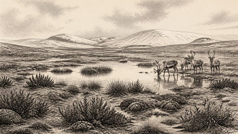
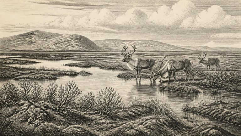
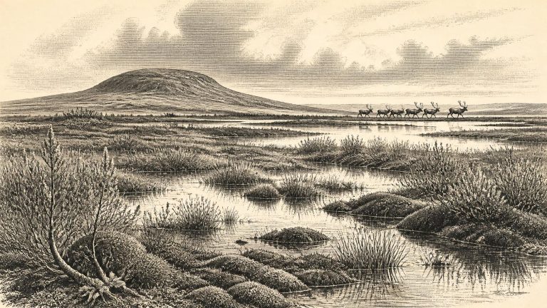
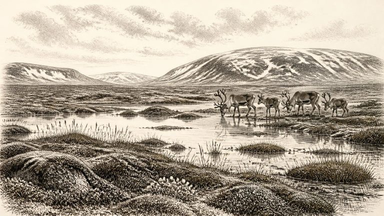
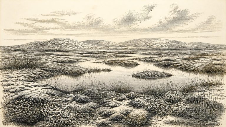
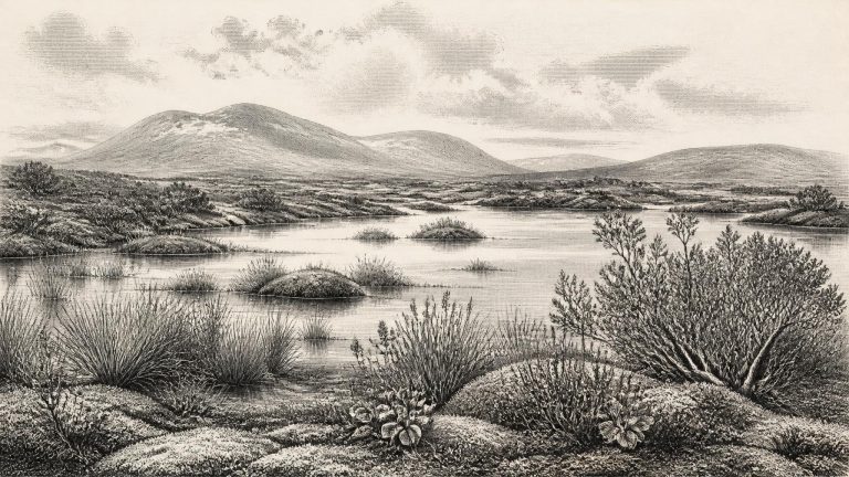
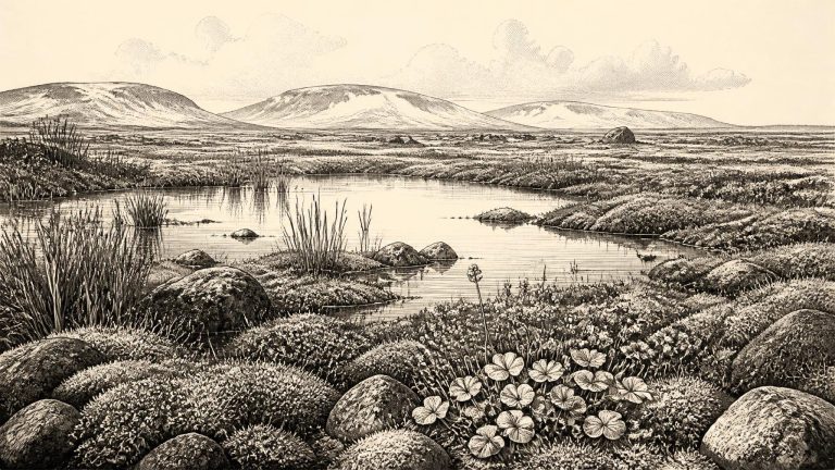
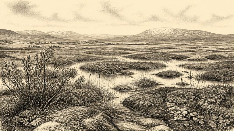
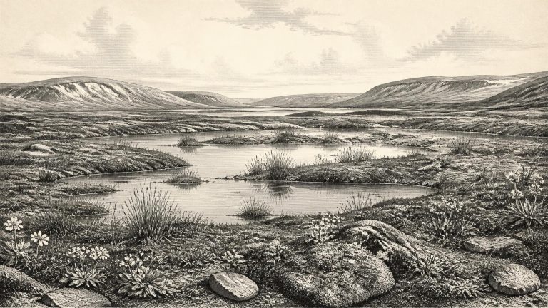
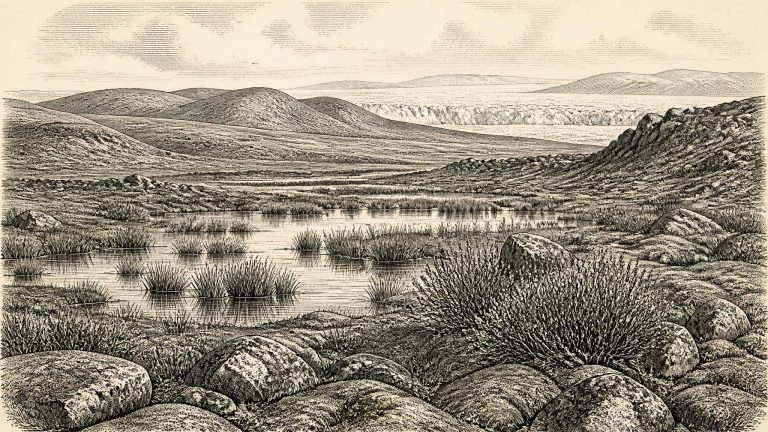
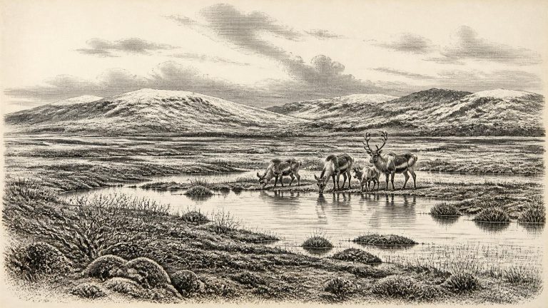
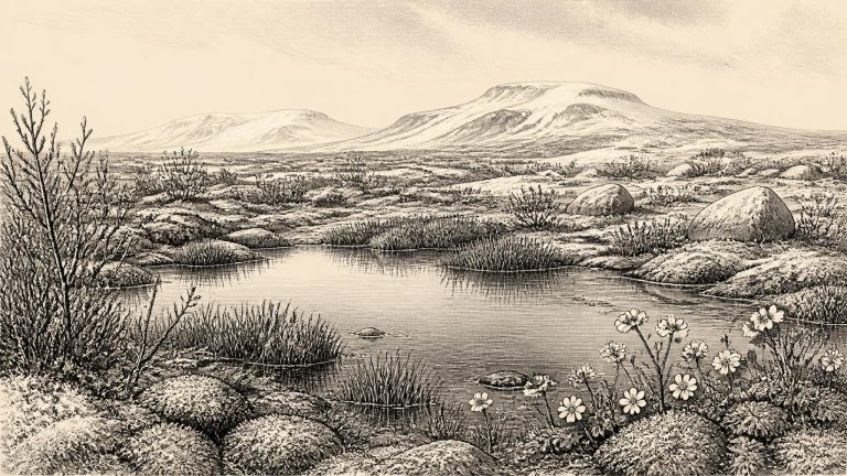
Derryvree shows that part of Fermanagh was ice-free long enough for fine sands, silts and organic mud to gather in shallow fresh water or a wetland. Fossil plant and animal evidence led the original investigators to identify a full-glacial, open-tundra setting and a periglacial climate. This was not woodland Ireland, nor a familiar blanket bog landscape. It was a sparse, treeless country in which low vegetation could exploit a short growing season around wet ground, while repeated freezing and thawing shaped soils and surface deposits.

30330–30321 BCE

Maguiresbridge’s Mossland Interval

Maguiresbridge’s Mossland Interval

The closest important Irish chronological anchor is Derryvree townland, near Maguiresbridge in County Fermanagh. Roadworks in 1969 cut through a drumlin and exposed a remarkable sequence: an older glacial till below, freshwater silts and fine sands with organic material in the middle, and a younger till above. In plain terms, ice had occupied the site, then retreated or ceased to cover that locality long enough for water, sediment and plants to accumulate, before ice-related deposition returned and sealed the record.

30350–30341 BCE

BIRM-166 Beneath Maguiresbridge

BIRM-166 Beneath Maguiresbridge

The calendar equivalent of 30,349 BCE lies about 32,300 years before AD 1950, the conventional reference point for radiocarbon dating. That is broadly near, but not identical with, the ages represented by Ireland’s best-known records for this stage of the Ice Age. The essential distinction is between a modern date written in BCE and a laboratory measurement expressed in radiocarbon years BP. Calibration can shift a radiocarbon age by several thousand calendar years and may yield more than one possible interval. It would be misleading to claim that any Irish deposit records conditions in this particular year.

30360–30351 BCE

Maguiresbridge’s Freshwater Flora

Maguiresbridge’s Freshwater Flora

The nearest substantial Irish evidence comes from Derryvree, near Maguiresbridge in County Fermanagh. Roadworks in 1969 cut through a drumlin and exposed an unusually informative sequence: a lower sheet of till, freshwater silts and fine sands with organic material, and a later upper till. Till is the unsorted sediment left directly by glacier ice. The order of these layers establishes an important local sequence: ice had occupied the site; an interval without overriding ice allowed freshwater and wetland sediments to form; then ice returned and sealed the deposit beneath a further till sheet.

The Silt Below Maguiresbridge

The Silt Below Maguiresbridge

The key Irish evidence comes from Derryvree townland, near Maguiresbridge in County Fermanagh. Roadworks exposed an unusual sequence through a drumlin in 1969: a lower glacial till, freshwater silts and fine sands with organic material, and then a second, later till. This ordering matters. It proves that ice had occupied the locality, that an interval followed in which freshwater sediment and plant remains accumulated, and that ice later returned to bury and preserve the deposit.

Maguiresbridge’s Freshwater Interval

Maguiresbridge’s Freshwater Interval

Ireland then lay within the late Pleistocene, during the Midlandian glaciation of Irish terminology and Marine Isotope Stage 3 in the wider scientific chronology. This was not the later Last Glacial Maximum, when ice covered most of the island and continental shelf. Rather, it was an unstable cold-age world in which ice sheets, local ice caps, frozen ground, meltwater and exposed land repeatedly changed the map. Modern reconstructions indicate that the British–Irish Ice Sheet was beginning a rapid phase of growth around 31,000 years ago, although its extent varied strongly from region to region and remains imperfectly dated in Ireland.

Maguiresbridge’s Sub-Till Lake

Maguiresbridge’s Sub-Till Lake

The most relevant Irish evidence is not an artefact, settlement or burial, but a buried wetland deposit at Derryvree townland, near Maguiresbridge in County Fermanagh. Road construction in 1969 cut through a drumlin and exposed an unusual sequence. A lower mass of till — the unsorted rock, clay and debris deposited by glacier ice — was overlain by freshwater silts, fine sands and organic muds, themselves sealed beneath a second till. The order is secure: ice had occupied the locality; an interval of open ground and freshwater followed; then a later advance of ice buried the evidence.

30370–30361 BCE

Maguiresbridge’s Lost Tundra

Maguiresbridge’s Lost Tundra

Derryvree was exposed by roadworks in 1969, when a cutting passed through a drumlin: the streamlined hill of glacial sediment now characteristic of much of the Irish midlands and north. Investigators found two distinct layers of till—material left directly by ice—with silts, fine sands and organic-rich deposits trapped between them. The sequence matters because it demonstrates change. Ice had affected the locality; then, for a time, open water and wet ground allowed sediment, plant remains and insects to accumulate; later glacial action buried and preserved the deposit beneath another till sheet.

30390–30381 BCE

Maguiresbridge Freshwater Record

Maguiresbridge Freshwater Record

The closest major Irish archive is the Derryvree deposit near Maguiresbridge, County Fermanagh. Exposed during roadworks through a drumlin, it consisted of freshwater silts, fine sands and organic material lying between two thick tills: unsorted sediments deposited directly by glacier ice. The sequence establishes an important order of events. Ice had covered the locality; an interval followed in which freshwater and wetland sediments accumulated; and later ice or ice-derived debris sealed the deposit beneath another till.

Mammoth Cave and Maguiresbridge

Mammoth Cave and Maguiresbridge

The difficulty begins with chronology. Archaeologists conventionally report radiocarbon years “before present”, where “present” is AD 1950. Such measurements are not calendar dates because atmospheric carbon-14 levels have altered through time. They must be calibrated against independently dated records, and calibration at this antiquity carries substantial uncertainty. Nor can the conventional age of an old sample safely be translated into a precise BCE year by simple subtraction.

30430–30421 BCE

Maguiresbridge’s Frost Fen

Maguiresbridge’s Frost Fen

The modern label 30,428 BCE corresponds approximately to 32,377 years before present, where “present” is conventionally AD 1950. That conversion must not be mistaken for precision. Radiocarbon laboratories initially report ages in radiocarbon years, because atmospheric carbon-14 has varied substantially through time. Those measurements must be calibrated against independently dated environmental records, and at this antiquity the resulting calendar ranges are broad.

30450–30441 BCE

Maguiresbridge Tundra Pools

Maguiresbridge Tundra Pools

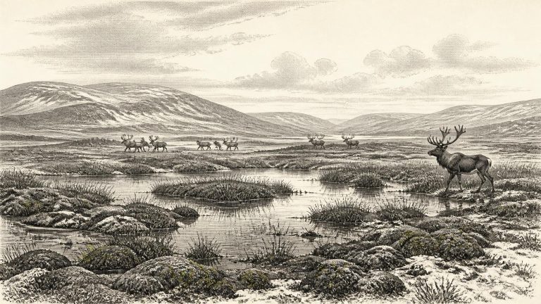
Ireland was in the last glacial cycle, but it should not be imagined as a single, permanent sheet of white ice. Ice expanded and contracted unevenly across Ireland, Britain and their continental shelves. At different times some districts lay beneath moving ice, while others supported exposed ground, meltwater, shallow lakes and tundra-like wetland. The Derryvree deposit proves that at least one part of Fermanagh experienced an ice-free interval between glacial episodes. Its position below later till also shows why evidence is scarce: advancing ice could scour away soils, riverbanks, animal remains and any light traces left by people.

30460–30451 BCE

Maguiresbridge’s Buried Waterline

Maguiresbridge’s Buried Waterline

The BIRM-166 determination was reported as about 30,500 radiocarbon years before present, with a substantial uncertainty. Calibration translates this into a broad range of approximately 36,900–31,700 calibrated years before present, or roughly 34,950–29,750 BCE. The nominal year 30,457 BCE lies within that wide chronological window, but no layer can be tied to that exact year, still less to a season, generation or named occurrence. Modern calendar-year precision is simply unavailable.

30490–30481 BCE

The Maguiresbridge Silt Layer

The Maguiresbridge Silt Layer

Radiocarbon measurements do not translate directly into calendar years. The key Derryvree deposit produced a conventional radiocarbon result of 30,500 +1,170/−1,030 radiocarbon years before present, recorded as BIRM-166. “Before present” conventionally means before AD 1950, while radiocarbon years require calibration because atmospheric carbon-14 levels have varied. Modern calibration places the deposit broadly in the later part of the Middle Midlandian cold phase, approximately 36,900–31,700 calibrated years before present. The nominal date of 30,488 BCE, roughly 32,400 calendar years before 1950, lies within that broad window, but cannot be attached to a particular sediment layer, animal, season or human visit.

30510–30501 BCE

A Moss Bed at Maguiresbridge

A Moss Bed at Maguiresbridge

30,507 BCE is a modern chronological label, not a year that can be recovered from an Irish record of events. No written sources, monuments, settlements or securely dated human communities allow historians to describe a particular season, leader or incident in Ireland at this depth of time. Calendar-year precision is unavailable. The responsible approach is to place the date within the later Pleistocene, broadly Marine Isotope Stage 3, and to use evidence with its uncertainty intact. The closest especially informative Irish archive is not an archaeological site in the ordinary sense, but a buried freshwater deposit at Derryvree, near Maguiresbridge in County Fermanagh. Its conventional radiocarbon determination, Birm-166, was 30,500 +1,170/−1,030 radiocarbon years BP. Published discussion places its broad calibrated span at roughly 36,900–31,700 calendar years BP: a range wide enough to include the modern label 30,507 BCE, but emphatically not evidence that the sediment formed in that exact year.

30520–30511 BCE

The Maguiresbridge Silt Archive

The Maguiresbridge Silt Archive

Derryvree was exposed in road works during 1969, when a cutting passed through a drumlin: one of the smooth, elongated hills formed beneath moving glacier ice. The section revealed an unusual sequence. Thick glacial tills—sediment laid down directly by ice—occurred both below and above a layer of freshwater silts and fine sands. Between those tills lay organic material containing fossil plants and insects. The basic inference is firm: when the freshwater layer accumulated, this part of south Fermanagh was not buried beneath active ice. At earlier and later stages, glaciers had crossed the locality and left their debris behind.

30560–30551 BCE

Tundra Beneath Maguiresbridge

Tundra Beneath Maguiresbridge

The closest Irish environmental archive for this notional date lies at Derryvree, near Maguiresbridge in County Fermanagh. Road works in 1969 cut through a drumlin and exposed freshwater silts and fine sands between two distinct sheets of till. Till is unsorted sediment laid down by glacier ice. The stratigraphy therefore establishes a powerful sequence: glacier ice had occupied the locality; an interval followed in which open water and organic sediments accumulated; and ice later crossed the site again.

The Maguiresbridge Tundra Basin

The Maguiresbridge Tundra Basin

Derryvree was revealed by road works in 1969, which cut through a drumlin, the streamlined hill of glacial debris familiar across much of Ireland. Beneath one body of till and below another lay fine sands, silts and organic material laid down in freshwater. The sequence establishes a powerful local history: glacier ice had deposited the lower till; an unfrozen basin then held standing or slow-moving water long enough for sediment, plants and small animals to accumulate; and renewed ice later sealed the deposits below a second till. It is not proof that all Ireland was ice-free at once. It is proof that this part of Fermanagh contained a cold but biologically active freshwater environment during part of a climatically unsettled age.

30600–30591 BCE

Maguiresbridge Water-Milfoil

Maguiresbridge Water-Milfoil

Around this notional date, Ireland belonged to Marine Isotope Stage 3, a cold and highly variable part of the last glacial cycle. Older Irish terminology places relevant deposits in the Middle Midlandian, while wider British and European scholarship more often uses Marine Isotope Stage terminology. Neither label means that conditions were uniform across the island. Temperatures, precipitation, sea level, vegetation and the extent of glacier ice altered repeatedly over centuries and millennia. A locality might be ice-free while another lay beneath, beside or downstream from ice.

30630–30621 BCE

Maguiresbridge Silts, Castlepook Femur

Maguiresbridge Silts, Castlepook Femur

The closest especially useful Irish chronological evidence is at Derryvree townland, near Maguiresbridge in County Fermanagh. Roadworks in 1969 cut through a drumlin and revealed fine freshwater sands and silts, rich in organic material, trapped between two thick layers of till. Till is the unsorted sediment deposited directly by glacier ice. The sequence is more important than any apparent precision: ice had formed the lower till; an interval without local overriding ice then allowed standing or slow-moving freshwater, sediment and plants to accumulate; later ice covered the deposit beneath the upper till.

30640–30631 BCE

Maguiresbridge’s Milfoil Basin

Maguiresbridge’s Milfoil Basin

Derryvree matters because its layers record sequence. A lower till shows that glacier ice had previously occupied the locality. Above it came fine sands, freshwater silts and organic-rich material: evidence that ice no longer covered this particular basin long enough for water, sediment and plant remains to accumulate. An upper till later sealed the deposit when ice returned. This is direct evidence for changing local conditions, not proof that all of Ireland was ice-free at once. The island’s terrain, exposure, ice margins and drainage would have varied greatly from region to region.

30650–30641 BCE

The Maguiresbridge Seed

The Maguiresbridge Seed

30,645 BCE is a modern chronological label, not a year that anybody in Ireland could have recorded, named or remembered. At this depth of time, calendar-year precision is unavailable. Expressed in the archaeological convention of calibrated years before present, with “present” fixed at 1950, it lies roughly 32,600 years ago, within the later part of Marine Isotope Stage 3: a long, climatically unstable phase of the last Ice Age. The relevant evidence is dated in broad ranges, not to a particular season, generation or event. It therefore cannot support a conventional annal of rulers, battles or migrations.

30680–30671 BCE

Sedge Silts at Maguiresbridge

Sedge Silts at Maguiresbridge

Derryvree was exposed by roadworks in 1969, when a cutting through a drumlin revealed a striking sequence. Beneath lay a lower layer of till: unsorted debris deposited by glacier ice. Above it sat organic-rich freshwater silts and fine sands. These were in turn sealed beneath another thick till. The sequence records an important regional rhythm: glacial conditions, then an interval in which open water and vegetation existed at this locality, followed by renewed or expanded glaciation. It does not prove that every part of Ireland was ice-free at once, but it decisively complicates any picture of an island continuously buried beneath ice throughout the last cold stage.

30690–30681 BCE

Maguiresbridge’s Freshwater Lens

Maguiresbridge’s Freshwater Lens

This was late Marine Isotope Stage 3 (MIS 3), part of the last Ice Age. In Irish Quaternary terminology it belongs to the Middle Midlandian, an era of sharp climatic fluctuation before the greatest expansion of the last British–Irish Ice Sheet. It was not a single, uniformly frozen Ireland. Ice margins advanced and retreated over long timescales; local relief, drainage and distance from the sea mattered. The ice-sheet maximum, conventionally placed much later, broadly between 26,500 and 19,000 years ago, still lay ahead. Yet glacial conditions already shaped the island’s soils, waterways, vegetation and possibilities for animal movement.

30710–30701 BCE

Arenaria at Maguiresbridge

Arenaria at Maguiresbridge

Derryvree was exposed by roadworks in 1969, when a cutting passed through a drumlin about two kilometres north-east of Maguiresbridge. Investigators found fine sands and freshwater silts, including organic material, enclosed between two substantial till sheets. Till is sediment laid down directly by glacier ice. The sequence is consequently important in itself: ice had occupied the ground; then water, plants and sediments accumulated during an ice-free interval; finally, another advance buried that record beneath fresh glacial debris.

Maguiresbridge Moss Register

Maguiresbridge Moss Register

Ireland around this point was approaching, but had not yet reached, the Last Glacial Maximum. The greatest expansion of the last British–Irish Ice Sheet occurred later, broadly between about 26,500 and 19,000 calibrated years before present. At 30,705 BCE, therefore, it would be misleading to picture the whole island either as permanently buried beneath ice or as a stable habitable country. The available record instead shows a changing mosaic: local ice, frost-affected ground, exposed uplands, wetlands and animal corridors altered as climate changed over centuries and millennia.