Before the Ice Peak31948 BCE
Around 31,948 BCE, Ireland lay within the climatically unstable Late Pleistocene, before the Last Glacial Maximum. Ice growth was substantial but regionally uncertain, while lower sea levels transformed coastlines without guaranteeing easy land connections. Geological landforms, offshore sediments and caves preserve fragmentary evidence of glaciation and changing fauna, including mammoth, reindeer, giant deer, bear and hyena. Later ice erosion and sea-level rise destroyed or submerged much evidence. No securely dated human artefacts, occupations or communities are known; possible transient visits remain unproven. Agriculture, villages, politics, trade and ritual belong to later periods. Ireland’s significance lies in its glacially reshaped environment.
Dateline
“31,948 BCE” is a modern chronological label, not a year that can be recovered from Ireland’s prehistoric record. No written testimony, named person, settlement, political event or calendar date can be assigned to it. This article therefore concerns Ireland at roughly 34,000 calendar years before 1950, within the Late Pleistocene. Even that formulation requires caution: radiocarbon results are measured with statistical uncertainty and then calibrated; geological sequences are normally resolved over centuries or millennia rather than individual years. The evidence can illuminate a changing Ice Age world, but not the experience of a particular day, season or generation.
In broad archaeological terms, this was the Upper Palaeolithic era in Europe, but Ireland cannot responsibly be described as an Upper Palaeolithic society. The securely documented human story of the island begins far later, after the last great ice-sheet expansion and subsequent environmental recovery. Around 31,948 BCE, the central subject is not an Irish people, kingdom or culture, but the conditions that would have constrained animal movement, possible human visits and the survival of physical evidence.
An Island in a Glacial World
The date falls in Marine Isotope Stage 3, a cold and climatically unstable part of the last glacial cycle, before the fullest development of the Last Glacial Maximum. The British–Irish Ice Sheet was not a fixed white blanket advancing everywhere at one speed. Ice expanded and contracted in distinct sectors, responding to climate, snowfall, sea level, topography and the behaviour of fast-flowing ice streams. Large reconstructions of the ice sheet identify the period from about 31,000 to 15,000 years before present as one of growth, maximum extent and retreat, with maximum ice volume and many outer margins reached later, broadly during the mid-20,000s years before present.
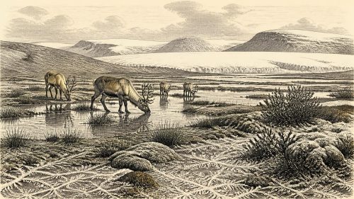
It is consequently unsafe to draw a precise ice margin for Ireland in 31,948 BCE. Some regional reconstructions indicate substantial pre-maximum glaciation, while the detailed scale and timing of ice cover remain debated, especially for earlier phases. What can be said is that Ireland lay in the north-western fringe of Eurasia during an increasingly severe glacial episode. Its mountains, lowlands, western Atlantic approaches and Irish Sea basin did not necessarily share identical conditions. Ice, periglacial ground, seasonal snow, cold grassland and exposed rock may all have occurred in different combinations across the wider island and its now-submerged margins.
Sea level was much lower than today because water was stored in continental ice sheets. The modern coast is therefore a poor guide to the geography of the time: broad continental-shelf areas were dry land or shallow, changing marine environments. Yet low sea level should not be turned into a simple claim that Ireland was joined by an easy land bridge to Britain or continental Europe. Connections and barriers changed through time, and the Irish Sea region was shaped by water, glaciers, sea ice, exposed terrain and difficult routes. For animals and any human parties, crossing into the Irish region was a practical ecological problem, not merely a line on a map.
What the Landscape Can Preserve
The strongest direct evidence for this deep period is geological and palaeontological. Landforms such as drumlins, moraines, meltwater channels and glacial lineations record the enormous power of later ice movement. Offshore seismic survey and sediment cores add an essential archive, because they preserve evidence beyond the present coastline. These sources show that the ice sheet eventually extended to, or near, the continental shelf break in several sectors. They also show why the archaeological record is so thin: advancing ice eroded, redeposited and buried older deposits, while later sea-level rise drowned many former coastal landscapes.
Caves are exceptionally important because they can retain animal bone and sediments through episodes that destroyed more open-air evidence. Irish cave collections, many recovered in nineteenth- and early twentieth-century excavations and subsequently reassessed, demonstrate that Late Pleistocene Ireland supported a broader fauna than the modern island. The Irish Quaternary Fauna Project found evidence for mammals colonising Ireland between at least about 45,000 and 20,000 years ago, although deposits are often disturbed and individual bones cannot automatically be treated as a single contemporary assemblage.
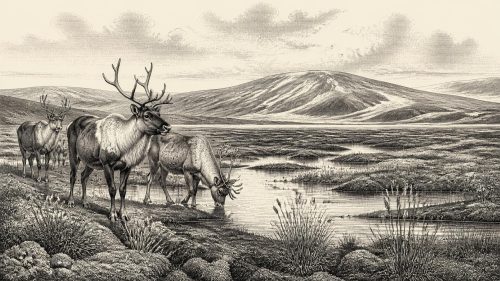
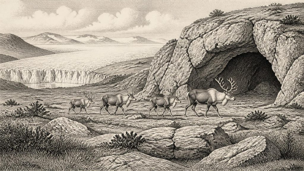
Castlepook Cave near Doneraile in County Cork is especially significant. It has yielded one of Ireland’s richest Pleistocene faunas, including remains attributed to animals such as woolly mammoth, reindeer, giant deer, brown bear and spotted hyena. These finds prove that parts of Ireland were available to sizeable mammals at intervals during the Late Pleistocene. They do not prove that every species occupied County Cork in 31,948 BCE, nor that they shared the same valley at the same moment. The responsible picture is of a patchy fossil record, dated samples and changing faunal communities rather than an imagined, fully stocked Ice Age landscape.
Climate, Animals and Everyday Ecology
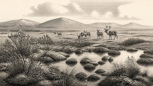
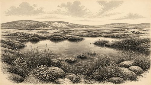
If ice-free ground existed locally, vegetation would have been shaped by low temperatures, short growing seasons, wind exposure and repeated climatic fluctuations. Open herb-rich grassland, sedge and shrub tundra are more plausible general comparisons than the dense Atlantic woodlands familiar from later prehistory. Such environments could support grazing and browsing animals, while carnivores followed prey or scavenged carcasses. But the exact plant cover of a specific Irish hill or plain in this numbered year is beyond present resolution. Pollen, cave sediments, animal remains, marine cores and landforms provide indirect environmental proxies, each with its own geographical and chronological limits.
This ecological setting had no agriculture, livestock keeping, permanent villages or managed fields in Ireland. There is no evidence for cereal cultivation, domestic animals, pottery, metalworking, monumental tombs or built ritual centres at this time. Those practices belong to much later Irish prehistory. Nor should the later Mesolithic, which began only after final deglaciation and ecological recolonisation, be projected backwards. The familiar archaeological signs of everyday life—hearths, lithic scatters, huts, middens, burials and worked wood—have not been securely demonstrated in Ireland for around 31,948 BCE.
Accordingly, it is impossible to describe households, food preparation, clothing or seasonal routines as Irish facts. If people ever entered the island during an earlier ice-free interval, they would have belonged to mobile Upper Palaeolithic hunter-gatherer populations known elsewhere in north-west Europe. That is an inference from neighbouring regions, not evidence for a resident Irish community. Any visit would have faced formidable constraints: cold weather, unpredictable access, sparse or shifting animal resources, and terrain altered by ice and meltwater. It is more accurate to speak of possible transient exploration than of an established population.
Human Presence: Absence, Possibility and Proof
Ireland’s earliest currently recognised direct evidence for human activity is vastly later than the focal date. A butchered brown-bear patella from Alice and Gwendoline Cave, County Clare, has been radiocarbon dated to the terminal Pleistocene, about 12,810–12,590 calibrated years before present. More recent work at the cave has refined its complex depositional history and stresses that many bones were washed or moved into the site from above. That research is valuable precisely because it demonstrates both the potential and the interpretative difficulty of cave evidence.
The later date should not be misrepresented as proof of people in Ireland 20,000 years earlier. At present there is no comparably secure artefact, cut-marked bone or occupation deposit dating to about 31,948 BCE. The lack of such evidence cannot conclusively establish that no human ever set foot on Irish ground: later ice action and sea-level rise created an exceptionally destructive filter. Nevertheless, archaeological method requires a distinction between what might have happened and what is demonstrated. Possible early visits remain possible; a documented population, political community or cultural tradition does not.
No Politics, but Powerful Boundaries
There is therefore no evidence for political affairs, diplomacy or organised warfare in Ireland at this date. Terms such as tribe, chiefdom, alliance and territory imply social structures that the Irish record cannot identify here. Nor can animal predation or competition for shelter be translated into “conflict” in the historical sense. The meaningful boundaries were environmental: ice fronts, cold seas, river valleys, exposed shelves, caves and the distribution of food. These regulated who—or what—could move through the region.
Trade and exchange are equally untraceable. Continental Upper Palaeolithic groups maintained long-distance networks of stone, shells, pigments and other materials, but no such network can be located in Ireland at this time. The absence of evidence matters most when the claim would require a durable human presence. There are no securely dated Irish tools, ornaments, pigments, carvings or structures through which to identify learning, language, artistic traditions or religious practice. It would be misleading to supply cave art, shamanic ceremonies or clan identities merely because they are known elsewhere in Ice Age Europe.
The Long View
The importance of around 31,948 BCE in Irish history lies in conditions rather than events. Ireland was part of a volatile north-west European glacial world, approaching the interval in which the British–Irish Ice Sheet would reach its greatest extent. Its physical geography was being remade: ice and meltwater sculpted landforms, lower seas altered coastlines, and later glaciation removed much of what might once have survived. Fossil-bearing caves offer glimpses of changing animal life, while also warning against overly neat reconstructions.
The future human history of the island was not yet in place. The first securely evidenced human traces, the Mesolithic settlement of the postglacial landscape, farming, monuments, languages and political communities all lay millennia ahead. For this date, the most truthful year-by-year account is necessarily modest: a cold, changing Ireland; substantial but regionally uncertain ice growth; evidence of Pleistocene animal habitats across a broader time span; and no reliable proof of a contemporary human society. That restraint is not a gap in the story. It is the historical result revealed by the surviving evidence.
Primary Sources
- The IntCal20 Northern Hemisphere Radiocarbon Age Calibration Curve (0–55 cal kBP)
- The Irish Quaternary Fauna Project
- First evidence of a Late Upper Palaeolithic human presence in Ireland
- New insights on the fauna of Ireland's Younger Dryas and Early Holocene from Alice & Gwendoline Cave
- The colonization of Ireland: A human ecology perspective
- Growth and retreat of the last British–Irish Ice Sheet, 31,000 to 15,000 years ago: the BRITICE-CHRONO reconstruction
- Pattern and timing of retreat of the last British-Irish Ice Sheet
- Maximum extent and dynamic behaviour of the last British–Irish Ice Sheet west of Ireland
- Stratigraphic and palaeo-geomorphological evidence for the glacial-deglacial history of the last British-Irish Ice Sheet in the north-western Irish Sea
- Extent and deglacial chronology of the last British–Irish Ice Sheet: implications of exposure dating using cosmogenic isotopes
- New age constraints for the maximum extent of the last British-Irish Ice Sheet (NW sector)
- The timing and magnitude of the British–Irish Ice Sheet between Marine Isotope Stages 5d and 2: implications for glacio-isostatic adjustment, high relative sea levels and ‘giant erratic’ emplacement
- Landform modification by palaeo-ice streams in east-central Ireland
- Ireland Under The Ice
- Hydrographic survey data uncovers preserved glacial landscape
- 18) Castlepook Caves
- 32564 – Castlepook Cave
- The arrival of farming
- Peatland Archaeology
- Cave Exploration in Ireland
- Late Pleistocene chronostratigraphy and ice sheet limits, southern Ireland
- Response of the Irish Ice Sheet to abrupt climate change during the last deglaciation