Derryvree’s Sedgewater Fauna30734 BCE
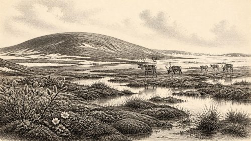
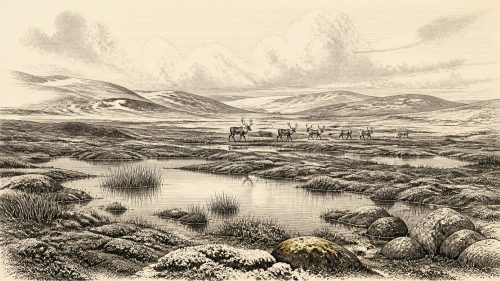
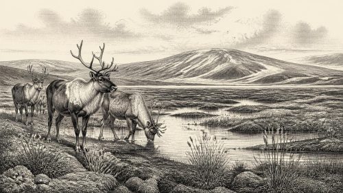
Thirty thousand years BCE is not a precise Irish historical date but falls within Marine Isotope Stage 3. At Derryvree, County Fermanagh, freshwater silts between glacial tills preserve evidence of cold, open tundra-muskeg: sedges, grasses, mosses, low shrubs, wet hollows and seasonal water. Cave remains at Castlepook indicate Ice-Age fauna including mammoth, reindeer, giant deer, horse, wolf, Arctic fox, lemmings and hyaena, although their chronology is uncertain. Expanding ice sheets and lower seas created regional conditions. A cut-marked reindeer bone may indicate Upper Palaeolithic visits, but proves no settlement. The fragmentary record excludes claims about polities, beliefs, agriculture or occupation.
Dateline
The label 30,734 BCE cannot be treated as an Irish year in the ordinary historical sense. No community on the island recorded dates, and neither archaeology nor earth science can identify an event, a ruler, a journey or a season so precisely at this depth of time. It is a modern chronological position, roughly 32,684 years before AD 1950. The responsible subject is therefore Ireland during a broad part of the Late Pleistocene, in Marine Isotope Stage 3 (MIS 3), rather than an annal for one numbered year.
That distinction is essential. Radiocarbon determinations are not calendar dates: they measure remaining carbon-14 and must be calibrated against long-term variation in atmospheric carbon. For samples more than thirty millennia old, calibrated results commonly cover centuries or millennia. The evidence closest to this notional date gives ranges, not points. It can reconstruct changing environments and animal communities, and perhaps fleeting human activity; it cannot tell us what happened in Ireland in 30,734 BCE itself.
A Date Inside a Wider Interval
The most informative Irish deposit for this period was found at Derryvree, near Maguiresbridge in County Fermanagh. Roadworks in 1969 cut through a drumlin and revealed a remarkable sequence: glacial till below, freshwater silts and fine sands with organic material in the middle, and another till above. Till is the unsorted debris laid down by glacier ice. The order of the layers establishes a local history with unusual clarity: ice had affected the area; conditions then permitted standing or slow-moving freshwater, sediment and vegetation to accumulate; later glacial activity buried the evidence.
Organic material from the Derryvree freshwater beds produced the radiocarbon determination BIRM-166, conventionally dated to 30,500 +1,170/−1,030 radiocarbon years BP. Published discussions place its calibrated age broadly at about 36,900–31,700 cal BP, approximately 34,950–29,750 BCE. The requested date sits within that wide span. It does not follow, however, that every plant, insect or water body represented in the sediments survived until that precise year. The deposit is a time-averaged environmental archive, not a single moment frozen in place.
Cold Water, Open Ground
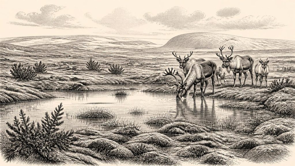
Derryvree provides unusually direct evidence that part of Fermanagh supported freshwater habitats during a cold, non-glacial interval. Its pollen, plant macrofossils, mosses and insect remains indicate a largely open, treeless tundra or muskeg landscape. Grasses and sedges were important, accompanied by herbs and low shrubs, including juniper. Moss-rich ground, wet hollows and pools lay beside sparsely vegetated mineral soils. Aquatic and wetland plants demonstrate that liquid water was available at least seasonally, despite a harsh climate and cold winters.
This was not the green, wooded Ireland of later millennia. Nor should “ice-free” be mistaken for mild or uniform. Derryvree represents one locality, and its conditions cannot simply be projected across every coast, upland and basin. Nonetheless, the combination of cold-adapted vegetation, freshwater sediments and periglacial conditions is strong evidence for a biologically active Irish landscape during part of MIS 3. It is precisely because later ice sheets scoured, reworked and buried so much of the older landscape that this small exposure has such importance.
Animals in an Ice-Age Landscape
Irish cave collections add a broader, though often less securely stratified, picture. Castlepook Cave, also known as Mammoth Cave or Doneraile Cave, in north County Cork has produced one of Ireland’s richest assemblages of pre-Last Glacial Maximum animal remains. Its known Ice-Age fauna includes woolly mammoth, reindeer, giant deer, horse, wolf, Arctic fox, lemmings and spotted hyaena, alongside other species. These are not evidence that all species lived together at every instant, nor that every bone is exactly contemporary with Derryvree. They do show that Ireland formed part of a wider north-west European mosaic of cold-steppe and tundra environments capable of supporting large herbivores and their predators.
The cave record also requires caution. Many specimens were recovered during early twentieth-century excavations, before modern methods of excavation, sediment recording and dating. Cave entrances can collect bones brought in by carnivores, water, gravity and people, while later disturbance can mix deposits of very different ages. Re-dating programmes have shown that some earlier radiocarbon results from Irish caves need reassessment. Thus Castlepook is powerful evidence for the island’s Pleistocene animal history, but it is not a census, and it cannot on its own recreate a complete local food web for 30,734 BCE.
An Island Approaching Greater Glaciation
The wider climatic setting was unstable. Ireland lay within the changing British–Irish Ice Sheet system, whose growth and extent varied across regions. Modern reconstructions begin detailed mapping at about 31,000 years ago and show major ice-sheet expansion during the succeeding millennia, with maximum volume and extent generally later than the period considered here. At roughly 32,700 cal BP, it is more responsible to describe Ireland as a land of shifting ice margins, cold open habitats and regional uncertainty than as an island wholly entombed beneath ice.
The two tills enclosing the Derryvree beds give this large-scale story a local expression. They demonstrate glaciation before and after the freshwater episode, while leaving the exact limits, thickness and timing of ice across the entire island unresolved. Uplands, lowlands and western marine margins need not have experienced identical conditions. Lower global sea levels also altered the outline of surrounding coasts and exposed areas now submerged. Yet it cannot safely be assumed that a simple, continuous land bridge linked Ireland to Britain or continental Europe at this particular time: ice, relative sea level, changing drainage and topography made the geography more complicated than a modern map suggests.
The Castlepook Human Question
One find has made this period especially significant for Irish prehistory: a reindeer femur from Castlepook bearing a deep mark interpreted by zooarchaeologist Ruth Carden and others as damage from a sharp stone implement during carcass processing. It has been publicly associated with an age of about 33,000 years ago. If that interpretation and chronology are confirmed, it would suggest that people reached Ireland during the Upper Palaeolithic, far earlier than the long-established record of post-glacial settlement.
The claim must remain carefully limited. A marked bone is not a settlement. There is no securely associated stone-tool assemblage, hearth, dwelling, burial, human bone or sealed occupation surface of comparable age at Castlepook. The cave collection has a complicated excavation history, and the date of an animal bone does not independently date the making of a surface mark. Nor can one specimen establish whether people hunted the reindeer, scavenged it, visited briefly, travelled in a group or returned regularly. Around 30,734 BCE, it is therefore reasonable to discuss a possible human presence in Ireland’s wider MIS 3 interval, but not a demonstrated resident population.
No Polities, Trade Networks or Named Beliefs
Political affairs, diplomacy and organised warfare are beyond the evidence. There are no known communities, leaders, territories, monuments or institutions that can be assigned to this date. Equally, there is no basis for identifying a language, ethnicity, religion, artistic tradition or system of learning. The absence is not a statement that people elsewhere in north-west Europe lacked social relationships or knowledge; it is a statement about what the Irish record can presently sustain.
If people did enter Ireland, their economy would have depended on mobile foraging in a severe seasonal environment: knowledge of animal movement, shelter, fuel, water, stone and safe routes would have mattered more than permanent fields or villages. That is an inference from comparable Upper Palaeolithic lifeways and the available fauna, not evidence for a known Irish camp. There is no reliable evidence at this date for agriculture, herding, metalworking, long-distance exchange, seafaring or permanent settlement on the island.
A Fragile Archive
The history illuminated by 30,734 BCE is consequently one of preservation as much as presence. Derryvree’s silts preserve a rare northern wetland amid cold open country; Castlepook’s bones retain traces of animals that later vanished from Ireland; and glacial sediments reveal repeated environmental upheaval. Together they show that Ireland was neither an empty abstraction nor a familiar homeland. It was a changing Ice-Age landscape, intermittently habitable for specialised fauna and perhaps occasionally visited by people, whose evidence survives only in fragments beneath later ice, water and soil.
Primary Sources
- A Middle Midlandian Freshwater Series at Derryvree, Maguiresbridge, County Fermanagh, Northern Ireland
- Irish Pleistocene Biostratigraphy
- Palaeoecology: South Fermanagh Field Guide
- The Irish Quaternary Fauna Project
- A Reconsideration of the Radiocarbon Dating of the Marine Isotope Stage 3 Fauna from Southern Ireland
- 2022:564 – Castlepook Cave, Castlepook South, Cork
- Archaeological Heritage of County Cork
- Prehistoric Details: Stone Age
- Occurrence of Mammalia Relicts at Site Castlepook Cave
- New Insights on the Fauna of Ireland’s Younger Dryas and Early Holocene from Alice & Gwendoline Cave
- Growth and Retreat of the Last British–Irish Ice Sheet, 31,000 to 15,000 Years Ago: the BRITICE-CHRONO Reconstruction
- BRITICE-CHRONO Maps and GIS Data of the Last British-Irish Ice Sheet 31 to 15 ka
- The Timing and Magnitude of the British–Irish Ice Sheet Between Marine Isotope Stages 5d and 2
- Dimensions and Chronology of the Last Ice Sheet in Western Ireland
- Last Glacial Maximum Cirque Glaciation in Ireland and Implications for Reconstructions of the Irish Ice Sheet
- Timing and Pace of Ice-Sheet Withdrawal Across the Marine–Terrestrial Transition West of Ireland During the Last Glaciation
- Early Deglaciation of the British-Irish Ice Sheet on the Atlantic Shelf
- The Deglaciation of the Western Sector of the Irish Ice Sheet
- The Problem of a Late Quaternary Landbridge Between Britain and Ireland
- Deglaciation, Earth Crustal Behaviour and Sea-Level Changes in the Determination of Insularity: A Perspective from Ireland
- The Island of Ireland: Drowning the Myth of an Irish Land-Bridge?
- The IntCal20 Northern Hemisphere Radiocarbon Age Calibration Curve (0–55 cal kBP)
- IntCal Publications
- Field Guides