The Derryvree Freshwater Window30429 BCE
Thirty thousand four hundred and twenty-nine BCE is a retrospective label within a broad, uncertain Late Pleistocene range, not a date for a recorded Irish event. Derryvree, County Fermanagh, preserves freshwater silts and organic deposits between glacial tills, demonstrating an ice-free interval before renewed glaciation. Its pollen, plants and insects indicate a treeless, wet, varied tundra landscape of pools, mosses, sedges and sparse herbs. Castlepook Cave fauna in Cork shows connections with north-west European ecosystems, including reindeer, mammoth and predators. A cut-marked reindeer bone suggests human activity, but cannot establish settlement. Later ice erased evidence, leaving environmental archives, not history.
Dateline
Modern calendar-year precision is not available for Ireland in 30,429 BCE. This is a retrospective label, not a date known to any people who may have crossed the island, and no Irish deposit can be tied to that individual year, season or generation. In archaeological terms it falls at roughly 32,400 years before AD 1950, in the later part of Marine Isotope Stage 3: an unstable interval of the last Ice Age, long before the Last Glacial Maximum. The responsible history of this moment is therefore one of calibrated ranges, sediments, animal remains and changing ice, rather than named rulers, battles or events.
The most informative Irish evidence comes from Derryvree near Maguiresbridge, County Fermanagh. There, road works in 1969 cut through a drumlin and revealed an exceptional sequence: thick glacial till below, freshwater silts and fine sands containing organic material in the middle, and a second body of till above. In plain terms, glacier ice had occupied the locality; a freshwater, ice-free interval followed; and ice later returned or passed over the ground again. The deposits survive precisely because they were sealed beneath later glacial material. They are not a general description of every part of Ireland, but they offer a rare window onto one northern landscape at about this depth of time.
A Date Within a Broad Range
Organic matter from the Derryvree freshwater bed produced the radiocarbon determination BIRM-166, conventionally reported as 30,500 radiocarbon years before present, with a large laboratory uncertainty of plus 1,170 and minus 1,030 years. A radiocarbon year is not a calendar year. Atmospheric carbon-14 has varied over time, so such measurements must be calibrated against independently dated records. Published treatment of this legacy result gives a broad calibrated span of approximately 36,900 to 31,700 calendar years before present, or roughly 34,950 to 29,750 BCE.
30,429 BCE lies within that wide interval, but it cannot be assigned to one layer of mud, one pool edge or one plant. The date establishes that the Derryvree sediments belong broadly to the pre-Last Glacial Maximum world; it does not demonstrate that the wetland existed unchanged throughout the whole range. Nor does it allow an annual narrative. Its greatest value is stratigraphic: the organic freshwater deposits prove that this locality experienced an interval in which water, vegetation and small animals could leave traces between episodes of glaciation.
Wet Ground Beneath Future Ice
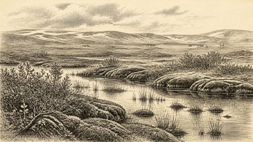
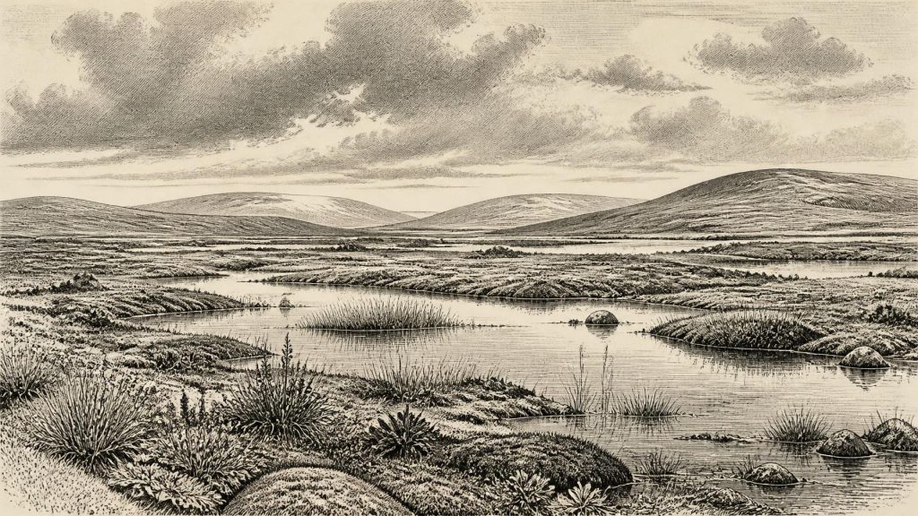
Derryvree was no green, wooded Fermanagh. The fossil evidence indicates an open, treeless and periglacial environment. Herbaceous pollen is poorly preserved, but the plant record includes grasses, sedges, herbs, juniper and a notable assortment of mosses. Insect evidence complements this picture, pointing to a muskeg-like landscape: wet, organic-rich ground with shallow open pools, mossy margins and sparse vegetation beyond them. Such ground would have been seasonally demanding, exposed to severe winters and short growing seasons.
“Tundra” is a useful shorthand, provided it is not imagined as a featureless white desert. The Derryvree evidence instead suggests local variety. Fine sediments accumulated in freshwater; aquatic and semi-aquatic plants grew at the margins; mosses exploited saturated ground; and open patches supported cold-adapted herbs. Drainage, slope, snow cover and the proximity of ice would have made conditions differ over short distances. A traveller moving across the area might have encountered pools, sedge-rich hollows, firmer gravelly ground and muddy channels rather than one uniform habitat.
The later upper till is equally important. It records the vulnerability of this landscape to renewed glaciation. During the long climatic deterioration that culminated in the Last Glacial Maximum, ice sheets grew and their margins shifted on timescales far longer than a human lifetime but short in geological terms. The British–Irish Ice Sheet would later cover extensive parts of Ireland, reshape terrain and remove or bury much older evidence. That erosion is one reason why the island’s record for this period is so fragmentary. Derryvree is an unusual survival, not a complete archive.
Animals of the Open Country
Fermanagh’s wetland evidence is strengthened, though not simply duplicated, by cave faunas in southern Ireland. Castlepook Cave, near Doneraile in County Cork, has yielded an extraordinary collection accumulated across different episodes of the Late Pleistocene. Reindeer, woolly mammoth, giant deer, brown bear, wolf, Arctic fox, mountain hare, lemmings and spotted hyaena are among the species represented. Revised radiocarbon work confirms that some of its fauna belongs to Marine Isotope Stage 3, although individual bones cover a substantial time range and cannot all be treated as contemporaries.
These animals illuminate ecological possibilities, not a perfectly reconstructed Irish food web for 30,429 BCE. Reindeer and mammoth signal cold, open country with enough forage to sustain large herbivores. Lemmings and Arctic fox indicate habitats more like those of northern or continental tundra than modern Ireland. Hyaenas, wolves and bears show that predators and scavengers also reached the island at some points. Cave deposits are particularly complicated evidence: carnivores can carry bones into dens, water and slope processes can move them, and excavations undertaken decades ago often recorded contexts less precisely than modern fieldwork would require.
Still, the combined evidence makes one conclusion secure: parts of Ireland were connected to wider north-west European ecological systems. The island was not permanently isolated in the modern sense. Lower sea levels altered coastlines and intervening seas, while fluctuating ice created changing barriers and possible routes. It is reasonable to infer that animal populations arrived, retreated and were replaced as habitats opened or closed. It is not responsible to specify a single route, claim a continuous land bridge at this exact date, or assume that every animal species occupied every Irish region simultaneously.
The Human Question
Human evidence remains far slighter than the environmental record. A reindeer femur from Castlepook has been reported as bearing an incision interpreted by zooarchaeologist Ruth Carden as a cut mark made by a sharp stone tool on fresh bone. Public heritage accounts associate the specimen with an age of about 33,000 years ago. If that interpretation and association are sustained by continuing research, the bone may represent the earliest known indication that people processed an animal in Ireland.
Its importance should not obscure its limits. The bone came from an old cave collection rather than a freshly excavated occupation surface with directly associated tools, hearths, shelters, burials or a cluster of butchered animals. Castlepook’s deposits contain material accumulated and disturbed over long spans. A cut-marked bone, even if correctly identified, is evidence for a human action on an animal; it is not proof of a permanent settlement, a named Upper Palaeolithic population or a direct ancestry linking those visitors to later inhabitants of Ireland. No securely excavated stone-tool industry of this age has yet established an enduring Irish community.
Accordingly, political affairs, diplomacy and organised conflict cannot be reconstructed for Ireland in this period. There is no evidence for chiefs, territories, alliances, monuments, formal burial places or institutions. Nor can historians responsibly describe an Irish religion, language, artistic tradition or system of learning. Absence of evidence is not evidence that individual people lacked beliefs, skills or social relationships; it means that the surviving Irish record does not permit them to be described. The traces are too few, too scattered and too affected by later ice.
Life Without a Recorded Economy
If people did visit Ireland around this broad interval, their likely activities must be framed as inference from the wider European Upper Palaeolithic rather than as directly observed Irish fact. Mobile groups elsewhere in north-west Europe hunted, scavenged, gathered fuel and plant foods where available, made stone tools, maintained social ties over large territories and adjusted movements to seasonal resources. A reindeer-processing mark would fit such a world. Yet Ireland supplies no securely dated camp floor from which to identify dwellings, tool-making, clothing, cooking or exchange.
There is therefore no basis for speaking of agriculture, farming villages, markets or long-distance trade within Ireland. The economy visible in the evidence is ecological rather than commercial: wetland plant communities, grazing animals, predators, freshwater sediment and advancing ice. Regional change was driven above all by climate and glaciation. The Derryvree pool system and the Castlepook faunas show that suitable habitats existed intermittently, but later ice expansion would make much of the island profoundly less hospitable and would erase many of the landscapes in which people or animals might once have moved.
An Archive, Not an Annal
For 30,429 BCE, Ireland has no annalistic history. It has a freshwater sequence under a Fermanagh drumlin, cave bones in Cork, and an expanding body of research on ice-sheet history, radiocarbon calibration and fossil fauna. Together they show an island of open cold habitats and local wet ground, inhabited at intervals by Ice Age animals and perhaps visited by people. They do not reveal an event that happened in this particular year. The Derryvree freshwater bed matters because it preserves the more modest but more reliable truth: before later ice sealed the ground, a living tundra wetland occupied part of Ireland.
Primary Sources
- A Middle Midlandian Freshwater Series at Derryvree, Maguiresbridge, County Fermanagh, Northern Ireland
- Exploring Controls of the Early and Stepped Deglaciation on the Western Margin of the British–Irish Ice Sheet
- Growth and Retreat of the Last British–Irish Ice Sheet, 31,000 to 15,000 Years Ago: the BRITICE-CHRONO Reconstruction
- The Timing and Magnitude of the British–Irish Ice Sheet Between Marine Isotope Stages 5d and 2: Implications for Glacio-Isostatic Adjustment, High Relative Sea Levels and ‘Giant Erratic’ Emplacement
- Pleistocene Glaciations in Ireland
- Trimlines, Blockfields and the Vertical Extent of the Last Ice Sheet in Southern Ireland
- Deglaciation Chronology of the Donegal Ice Centre, North-west Ireland
- Bayesian Modelling the Retreat of the Irish Sea Ice Stream
- A Reconsideration of the Radiocarbon Dating of the Marine Isotope Stage 3 Fauna from Southern Ireland
- The Irish Quaternary Fauna Project
- Irish Pleistocene Biostratigraphy
- Palaeoecology: Irish Quaternary Association Field Guide 16
- Heritage Artefacts of County Cork
- Castlepook Cave, Co. Cork, 2022
- Phylogeographic, Ancient DNA, Fossil and Morphometric Analyses Reveal Ancient and Modern Introductions of a Large Mammal: the Complex Case of Red Deer (Cervus elaphus) in Ireland
- First Evidence of a Late Upper Palaeolithic Human Presence in Ireland
- The Colonization of Ireland: A Human Ecology Perspective
- The IntCal20 Northern Hemisphere Radiocarbon Age Calibration Curve (0–55 cal kBP)
- A Stratigraphic Framework for Abrupt Climatic Changes During the Last Glacial Period Based on Three Synchronized Greenland Ice-Core Records: Refining and Extending the INTIMATE Event Stratigraphy
- Pattern, Style and Timing of British–Irish Ice Sheet Advance and Retreat Over the Last 45,000 Years: Evidence from NW Scotland and the Adjacent Continental Shelf