Castlepook’s Reindeer Femur31554 BCE
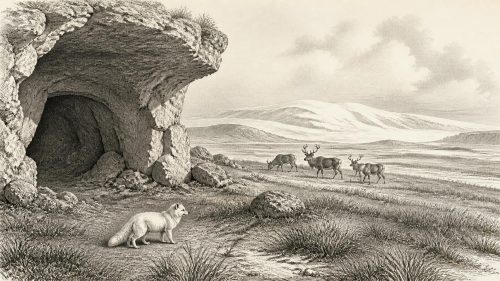
Around 31,554 BCE, Ireland lay within the unstable cold conditions of Marine Isotope Stage 3, before the Last Glacial Maximum. Dates from this period are calibrated scientific ranges, not recoverable calendar years. Derryvree’s organic silts, between glacial tills, preserve evidence of treeless, freshwater wetlands supporting cold-adapted plants, insects and mosses. Castlepook Cave contains fauna including reindeer, mammoth, giant deer, hyaena, Arctic fox and lemmings, although its mixed deposits cannot represent one moment. A marked reindeer femur may indicate human butchery and a brief Upper Palaeolithic visit, but cannot prove settlement. Later ice damaged evidence, leaving an environmental history of Ireland.
Dateline
The year conventionally labelled 31,554 BCE cannot be treated as a date in the ordinary historical sense. No calendar, written record, named person or identifiable event survives from Ireland at this depth of time. Archaeologists instead work with radiocarbon measurements, calibrated ranges, sediment sequences and changing environmental indicators. This modern calendar label falls broadly within Marine Isotope Stage 3, a fluctuating cold phase of the Late Pleistocene, and approximately 33,500 years before the radiocarbon convention’s ‘present’ of 1950. It is therefore best understood as a point within a long span, not as a recoverable Irish year.
For Ireland, the most important evidence relevant to this period comes from caves, buried wetland deposits and the landforms left by later ice. These sources do not provide a political narrative. They can, however, reveal a cold and changeable country used by animals, and perhaps visited briefly by people, before the last and most extensive phase of the British–Irish Ice Sheet transformed much of the landscape.
A Country Before Maximum Ice
About 31,554 BCE, Ireland was not yet in the full Last Glacial Maximum, generally placed in Britain and Ireland between roughly 27,000 and 21,000 years ago. Ice was nevertheless an active force in the wider region. The growth of the British–Irish Ice Sheet is commonly assigned to the period after about 35,000–32,000 years ago, but its margins repeatedly advanced and retreated. Conditions differed markedly between regions and over comparatively short geological intervals. It would be misleading to picture the whole island as either uniformly ice-covered or uniformly habitable on this particular notional year.
Sea level was substantially lower than today because immense quantities of water were locked in continental ice sheets. Parts of the modern continental shelf were exposed, changing the shape of coasts and the distances between land masses. Yet lowered sea level alone does not prove a simple, dry and permanently open route into Ireland. Ice extent, local sea level, river channels, marshy lowlands and seasonal conditions all mattered. Later modelling indicates that Ireland became separated from Britain by about 16,000 calibrated years BP, but the geography of the earlier cold stage was more complex than the familiar modern map suggests.
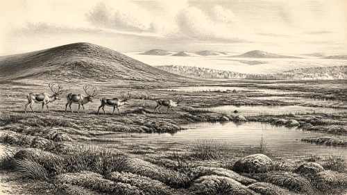
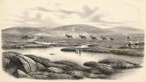
The climate was severe by modern Irish standards, but it was not a single unbroken winter. Greenland ice-core records show repeated abrupt oscillations during this part of the Late Pleistocene. On the ground, cold grassland, herb-rich steppe-tundra, patches of dwarf shrub and wet places fed by meltwater could shift as temperature, snowfall and ice margins changed. Trees were scarce or absent across much of the exposed landscape. Wind, frost action and seasonal flooding shaped bare soils, gravelly valleys and shallow waters.
Derryvree’s Buried Wetland
One of the most instructive Irish records is at Derryvree near Maguiresbridge in County Fermanagh. There, organic freshwater silts lay between two major till sheets: deposits left by separate phases of glacial ice. The organic layer produced the conventional radiocarbon determination Birm-166, 30,500 ± 1,100 radiocarbon years BP. Its calibration is necessarily broad and is affected by irregularities in the radiocarbon timescale, but it places the deposit within the wider cold-stage world relevant to 31,554 BCE rather than furnishing a date for a single year.
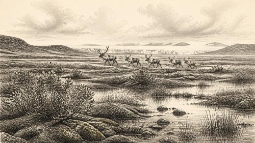
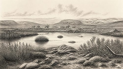
The Derryvree silts preserve pollen, seeds, mosses and insect remains. Together these support the evidence for an open, treeless wetland or muskeg landscape, with sedges, grasses, herbs, mossy ground and pools of freshwater. Finds include plants adapted to cool environments, among them bogbean, water-milfoil, mountain avens and dwarf willow. Such remains are evidence of local or nearby habitats, not a complete inventory of every plant across Ireland. Still, they demonstrate that at least part of Fermanagh supported biological communities between glacial episodes.
This was no settled agricultural countryside. There were no fields, hedges, livestock or cleared woodland. In a wetland basin, summer growth would have been concentrated around standing water and saturated ground; winter brought hard frosts and a shortened season of plant productivity. Insects and mosses are especially valuable here because they make the environmental reconstruction less dependent upon pollen alone. Their testimony points to a cold, open landscape with small-scale ecological variety rather than an empty, featureless ice desert.
The Cave Fauna of North Cork
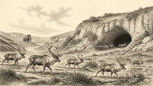
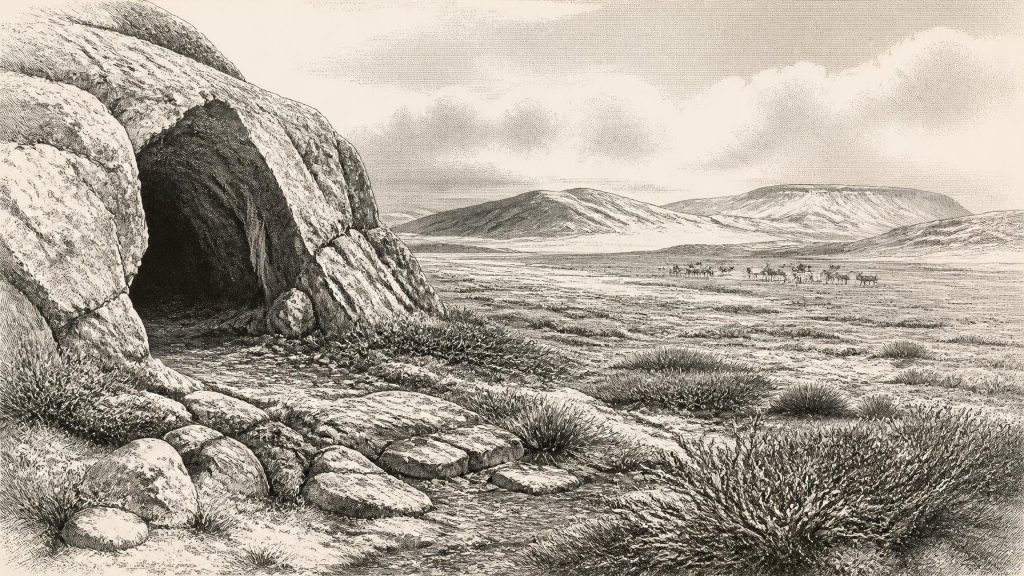
Far to the south, Castlepook Cave near Doneraile, County Cork, is central to discussion of Ireland’s Middle Devensian fauna. Excavations undertaken principally in the late nineteenth and early twentieth centuries recovered an unusually rich but difficult assemblage. Among the animals represented are reindeer, woolly mammoth, giant deer, brown bear, wolf, red fox, Arctic fox, mountain hare, lemmings and spotted hyaena. Some older dates on mammoth and hyaena suggested ages around 34,000 radiocarbon years BP, while later work has shown why early radiocarbon results from cave collections require reassessment with improved pretreatment methods.
The cave was not a transparent record of a single living landscape. Carnivores could drag prey or scavenged bones into sheltered passages; water, sediment movement and later excavation could mix material from different episodes. Gnawing and tooth marks show that hyaenas were among the agents creating parts of the assemblage. The responsible conclusion is that these species occurred in Ireland during parts of the cold-stage interval, and that Castlepook preserves a valuable faunal archive. It does not follow that every listed animal stood together outside the cave in 31,554 BCE.
Even with that qualification, the fauna conveys the scale of ecological change. Reindeer were adapted to open northern habitats, while mammoth and giant deer indicate landscapes able, at times, to sustain large grazing or browsing mammals. Arctic foxes and lemmings speak strongly of cold conditions. Hyaenas, predators now associated in popular imagination with Africa, ranged widely across Pleistocene Europe and could exploit carcasses and prey in the Irish landscape. Their presence reminds us that Ice Age Ireland held food webs more varied than the island’s later historic fauna.
A Marked Bone and Human Possibility
The most provocative item linked to this era is a reindeer femur from the Castlepook collection. It has been presented as about 33,000 years old and carries a deep linear mark identified by zooarchaeologist Ruth Carden as consistent with cutting or chopping fresh bone using a sharp stone implement. Public discussion has consequently associated the specimen with human activity in Ireland around 31,000 BCE. If that diagnosis withstands further scrutiny, it would be exceptionally early evidence that one or more Upper Palaeolithic people processed a reindeer in Ireland.
Its significance should not be inflated into a story of permanent settlement. The bone was recovered in an older excavation, not from a modern, sealed occupation floor accompanied by a stone-tool assemblage, hearth, dwelling, human remains or repeated butchery deposits. A date on the bone establishes when the animal died within a range; it does not independently date the surface modification, identify the person who made it, or explain whether the animal was hunted, scavenged or encountered after a predator kill. Bone surfaces can also be altered by carnivores, trampling, sediment abrasion, breakage and recovery.
The appropriate interpretation is therefore cautious but important. Castlepook may preserve evidence of a fleeting human visit to Ireland during the Upper Palaeolithic, at a time when mobile groups elsewhere in north-west Europe followed seasonal animal resources across cold open country. It cannot demonstrate an enduring population, an ancestral community, a settlement network or a named archaeological culture on the island. The better-secured evidence for later Palaeolithic human activity is the cut-marked brown-bear patella from Alice and Gwendoline Cave in County Clare, directly dated to 12,810–12,590 and 12,810–12,685 calibrated years BP: many millennia after the period considered here.
Society Beyond the Evidence
If people did reach Ireland around this broad interval, their livelihood was almost certainly based on highly mobile hunting, gathering and the use of animal materials, rather than farming. That is an inference from the wider European Upper Palaeolithic context and from the available fauna, not direct evidence from an excavated Irish camp. There is no securely dated Irish house, hearth, toolkit, grave, ornament, image or ritual structure from around 31,554 BCE. Nor is there evidence for chiefs, territories, warfare, diplomacy, trade institutions, language or formal religion.
It is possible that movement across the altered Irish Sea world brought animals and occasional people into contact with neighbouring regions. It is not possible to map routes, identify exchange goods or describe alliances. The Castlepook reindeer bone, if humanly modified, records an act of carcass processing rather than a polity. Its value lies precisely in that modest but tangible possibility: a sharp edge may have met fresh bone on an Ice Age Irish landscape.
What This Date Can Mean
For 31,554 BCE, Ireland’s history is environmental and archaeological before it is biographical or political. Wetland sediments at Derryvree show that life persisted in cold, treeless terrain between episodes of glaciation. Castlepook’s bones show that a distinctive Pleistocene animal community reached the island. The marked reindeer femur raises, but does not conclusively settle, the possibility of a very early human presence. The subsequent advance of ice would erode, bury and remove many traces of this world, helping to explain why the evidence is so sparse.
That scarcity is not a licence to invent a lost Ice Age people. It is an invitation to read the surviving clues closely: a seed in a buried silt, pollen under a drumlin, a tooth-marked bone in a cave, and one contested incision on a reindeer femur. Together they place Ireland within the wider Late Pleistocene world of climate instability, mobile animals and possible human exploration, while preserving the crucial distinction between what the evidence demonstrates and what it merely suggests.
Primary Sources
- A reconsideration of the radiocarbon dating of the Marine Isotope Stage 3 fauna from southern Ireland
- New Insights on the Fauna of Ireland's Younger Dryas and Early Holocene from Alice & Gwendoline Cave
- First Evidence of a Late Upper Palaeolithic Human Presence in Ireland
- Phylogeographic, Ancient DNA, Fossil and Morphometric Analyses Reveal Ancient and Modern Introductions of a Large Mammal: The Complex Case of Red Deer in Ireland
- The Irish Quaternary Fauna Project
- Pleistocene Vertebrates in the British Isles
- Irish Pleistocene Biostratigraphy
- A Middle Midlandian Freshwater Series at Derryvree, Maguiresbridge, County Fermanagh, Northern Ireland
- The Geology of Ireland: Cenozoic, Tertiary and Quaternary
- Deglacial Rates and Controls for the Western Margin of the British-Irish Ice Sheet
- Extent and Timing of the Last Glacial Maximum (LGM) in Britain and Ireland: A Review
- New Data for the Last Glacial Maximum in Great Britain and Ireland
- The Island of Ireland: Drowning the Myth of an Irish Land-Bridge?
- Sea-Level Change in the Irish Sea Since the Last Glacial Maximum: Constraints from Isostatic Modelling
- The Quaternary of Western Ireland: INQUA Field Guide Pre:GL-2
- Late Quaternary Stratigraphy and Glacial History of Southern Ireland
- Advances in Irish Quaternary Studies
- Irish Quaternary Association: Outreach and Education Resources
- Irish Quaternary Association: Field Guides
- Heritage Artefacts of County Cork
- The Geological Heritage of County Leitrim