Archived: 25 October 2026
Abstract
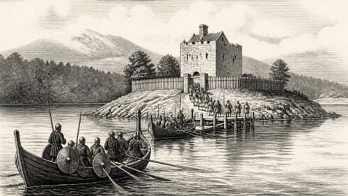
In 1258, Brian Ua Néill secured recognition at Cáeluisce from Connacht and Thomond leaders as king of the Gaels of Ireland, though this alliance neither unified Ireland nor ended regional rivalries. Hostage arrangements and conflict in Breifne exposed unstable lordship. English pressure prompted defensive destruction of ecclesiastical sites, while war in the south devastated settlements and crops. Hebridean raiders defeated Connacht’s sheriff after seizing valuable maritime cargo. Separate Gaelic-English peace talks demonstrated pragmatic local politics. Church life continued through episcopal changes, Armagh’s papal pallium, Dominican commemoration and a Franciscan foundation at Clane, amid enduring political and economic uncertainty across Ireland.
Read Article
Archived: 25 October 2026
Abstract
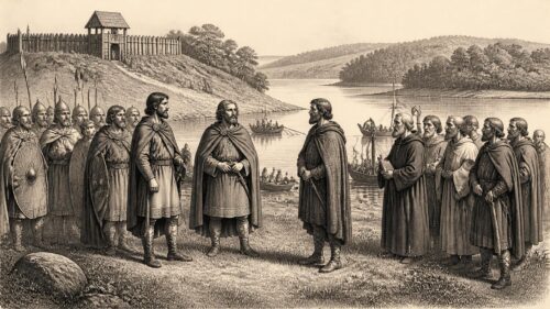
In 1257, Irish politics were shaped by local conflicts and shifting alliances between Gaelic rulers and Anglo-Irish power. Conchobar Ó Ruairc surrendered Cherry Island castle to Fedlimid Ó Conchobair, but later destroyed it after its garrison withdrew. Dynastic rivalry, including blinding and killings, exposed Connacht’s instability despite Fedlimid’s peace with colonial leaders and royal charter. Gofraid Ó Domnaill demolished Cáel Uisce castle, burned Sligo and routed Anglo-Irish forces at Credran, though he was wounded. Fighting also affected Thomond. Meanwhile, Roscommon’s Dominican church was consecrated, Abraham Ó Conalláin travelled to Rome, and churchmen remained involved in political violence and patronage there.
Read Article

Archived: 25 October 2026
Abstract
In 1256, the political frontier running through Connacht and Breifne was anything but fixed. The year’s fullest surviving narrative, preserved in the Annals of Connacht and the closely related Annals of Loch Cé, records a remarkable sequence of armies, negotiations, raids, hostage-taking and local feuds. Its central event was a hard-fought encounter at Magh Slecht, near the passes of Sliabh an Iarainn, where Áed Ó Conchobair and Conchobar Ó Ruairc defeated leading men of the Uí Raghallaigh. Yet the battle was not an isolated clash: it exposed the fragile alliances and overlapping claims that shaped life in the Irish midlands.
Read Article

Archived: 25 October 2026
Abstract
In 1255, Feidlim Ua Conchobair of Connacht and his son Áed strengthened their position through diplomacy, protected movement and negotiated peace. Áed travelled to Tír Eógain, reconciled his father with northern powers, and escorted Connacht exiles, dependants and goods safely home through hostile territory. Feidlim’s envoys and Archbishop Florence Mac Flainn secured favourable responses from Henry III, while Feidlim reached a major settlement with Mac William Burke at Tochar Mona Conneda. Elsewhere, Brian Ua Néill failed to obtain hostages in Breifne. Ecclesiastical appointments, clerical deaths, killings and raids reflected local instability. The year demonstrated peace’s strategic, fragile role amid rivalries.
Read Article

Archived: 25 October 2026
Abstract
The records for 1254 preserve a revealing contrast. At the highest level, Henry III of England reassigned much of the royal lordship of Ireland to his teenage heir, Lord Edward. In Dublin, the rebuilt church of St Patrick was dedicated as a cathedral. Yet the Irish annals are equally attentive to a burned Dominican house in north Mayo, killings around Lough Ree and Cluain Conmaicne, an arrest and blinding ordered by the king of Connacht, and an exceptionally productive year of milk, acorns and other foodstuffs. Ireland was not one political unit moving in step with an English royal decision.
Read Article

Archived: 25 October 2026
Abstract
In 1253, Sligo gained a Dominican friary and consecrated cemetery, establishing a centre for preaching, learning, burial and patronage in a strategic Geraldine settlement. The foundation reflected mendicant expansion supported by both Anglo-Irish and Gaelic rulers, also evident at Roscommon. Politically, Maurice FitzGerald’s Anglo-Irish expedition into Tír Eógain failed to secure hostages from Brian Ó Néill, demonstrating limits to colonial power and strengthening Ó Néill’s position. Church notices recorded deaths of leading bishops and construction of an episcopal residence at Elphin. Annals described a notably productive summer, while December royal orders sought Irish military and logistical aid for threatened Gascony.
Read Article
Archived: 25 October 2026
Abstract
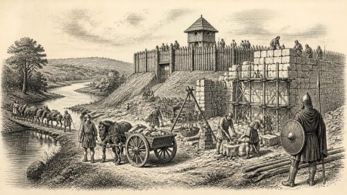
In 1252, Crown authority in Ireland was asserted through fortification, campaigning and monetary reform, amid persistent regional conflict. Maurice FitzGerald built castles at Cáel Uisce and Moycova, the latter under oversight, while Henry III ordered fortification and expansion at Annaghdown. Justiciar John FitzGeoffrey’s expedition secured Brian Ó Néill’s submission and his brother Ruaidrí as hostage, though rivalry divided both colonial forces and Irish lordships. Annals recorded raids, killings and deaths, alongside Máelmaedóc Ó Beolláin’s death at Drumcliff. A winter wind preceded exceptional drought and early harvest. New Dublin coinage strengthened royal control, but personal alliances, cattle and churches remained central.
Read Article
Archived: 25 October 2026
Abstract
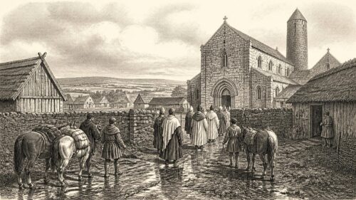
In 1251, Ireland’s fragmented political order combined royal administration, Gaelic rivalry, ecclesiastical organisation and environmental disruption. John Fitz Geoffrey’s wardship purchase illustrated links between office, inheritance and lordship, while Henry III approved Hugh’s election to Ossory and authorised an Irish coinage exchange. Connacht clergy held a synod at Tuam under Archbishop Flann Mac Flainn, although its decisions are unknown. Annals record killings among Connacht and northern kindreds, clerical deaths and Archbishop Raighned’s journey to Rome. Grants of privileges expressed royal authority locally. Summer lightning and flooding, followed by severe winter frost, damaged people, cattle, travel and livelihoods without proving famine.
Read Article
Archived: 25 October 2026
Abstract
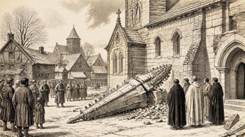
In 1250, Ireland experienced interconnected regional conflicts rather than a single national crisis. Feidlimid Ó Conchobair returned to Connacht with northern support, regained kingship through negotiation with English authorities, and expelled a rival, while Connacht hostages were blinded at Athlone. In Ulster, an expedition failed to secure Ó Néill submission; Niall Ó Canannáin was captured and killed, and Cecilia Mac Lochlainn, wife of Brian Ó Néill, died. In Desmond, Fíngen Mac Carthaig was killed after a peace breach. Derry’s church pinnacle collapsed on 8 February. Episcopal and monastic deaths further underscored institutional uncertainty during that year amid violent, contested lordship.
Read Article
Archived: 25 October 2026
Abstract
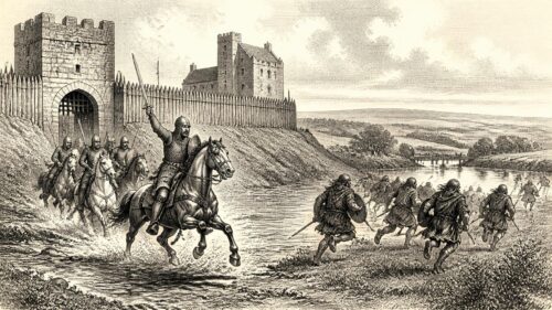
In 1249, conflict swept across Ireland’s fragmented political landscape. Justiciar John FitzGeoffrey punished resistant Leinster rulers and, with Maurice FitzGerald, invaded Connacht, devastated Ó Conchobair lands and installed Toirrdelbach Ó Conchobair in place of King Fedlimid. Fighting also afflicted Desmond and Ossory, while dynastic raids and counter-raids unsettled north-west Connacht. Fedlimid safeguarded his movable wealth beyond the Shannon as royal forces plundered territories and Loch Cé. On 15 August, Connacht princes attacked Anglo-Norman Athenry but were routed by Jordan de Exeter’s armoured sortie; Áed Ó Conchobair and many allies died. Annals also record notable ecclesiastical deaths, hospitality, learning, and chronology.
Read Article

Archived: 25 October 2026
Abstract
In 1248, military and political struggle linked northern and western Ireland across contested regions. Justiciar John FitzGeoffrey compelled Cenél nEógain to give hostages, then built a bridge over the Bann and a castle near Coleraine, strengthening royal leverage without securing conquest. Maurice FitzGerald intervened in Tír Conaill, backing Gofraid Ó Domnaill, whose rival was later killed. In Connacht, revolts, raids, cattle seizures, island warfare and a reverse in Connemara exposed limits to colonial power. Meanwhile, Fedlimid Ó Conchobair endowed Kilmore’s Augustinians, Armagh’s primate returned from Rome, and Henry III addressed baronial liberties, demonstrating intertwined warfare, lordship, church patronage and administration.
Read Article

Archived: 25 October 2026
Abstract
In 1247, warfare across north-western Ireland and Connacht exposed fragile power among Gaelic, Anglo-Irish and maritime allies. Maurice FitzGerald’s force outmanoeuvred Tír Conaill’s defenders at Ballyshannon, killing Máel Sechlainn Ó Domhnaill and installing a provisional ruler, though losses followed during withdrawal. In Connacht, Toirrdelbach Ó Conchobair and allies captured strongholds, burned Galway and other settlements, while retaliatory raids devastated communities. Waterways, fords, crannogs and castles shaped campaigning, and sea travel brought both opportunity and disaster. Churchmen mediated evacuations and maintained wider connections. Meanwhile, partition of the Marshal inheritance reshaped Leinster’s lordship. The year ended without lasting political settlement or conquest.
Read Article

Archived: 25 October 2026
Abstract
In 1246, newly built Sligo Castle became a focus of conflict between Maurice FitzGerald's expanding Anglo-Irish power and Máel Sechlainn Ó Domhnaill of Tír Chonaill. After attackers burned Sligo's enclosure but failed to seize the castle on 1 November, its garrison hanged two hostages, Ó Domhnaill's foster-father and foster-brother. FitzGerald also sought to reshape northern politics through Cormac Ó Conchobair and hostage-taking. Elsewhere during that turbulent year, John Fitz Geoffrey became justiciar; Connacht dynastic prisoners escaped, were recaptured, or were killed; bishops changed at Elphin and Armagh; Drumlane burned; Oriel suffered violence; and a stranded whale enriched coastal Sligo communities.
Read Article
Archived: 25 October 2026
Abstract
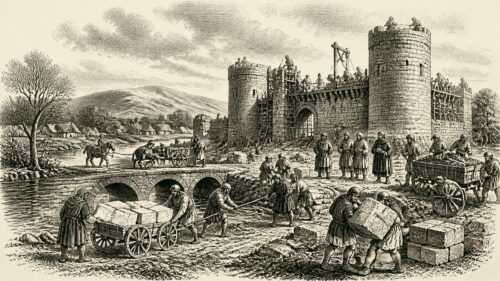
In 1245, Maurice fitz Gerald, justiciar of Ireland, built Sligo Castle with Síl Muiredaig, compelling King Fedlimid Ó Conchobair of Connacht to meet much of the cost and appropriating ecclesiastical materials. The fortress strengthened lordship over strategic north-western routes. Other castles at Áth an Chip and Caisleán Suicín reflected intensified frontier militarisation. Fedlimid joined Henry III’s Welsh campaign, gaining royal recognition despite continuing Anglo-Irish pressure. Maurice was replaced by John fitz Geoffrey. Church disputes, killings, raids and successions revealed regional instability, while Elphin’s episcopal dispute reached Pope Innocent IV at Lyons. Severe snow before Christmas disrupted travel, livelihoods and supplies.
Read Article
Archived: 25 October 2026
Abstract
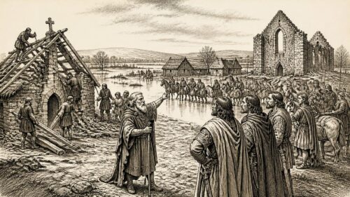
In 1244, Connacht experienced intertwined political, ecclesiastical and social crises. Cú Chonnacht Ó Raghallaigh blinded and emasculated the captive dynast Tadc Ó Conchobair, prompting King Fedlimid’s large retaliatory hosting into Breifne. At Fenagh, troops accidentally caused a foster-child’s death; compensation disputes ended when Magnus son of Muirchertach died during a flooded retreat, followed by payments in horses and silver measured by the Bell of the Kings. Tadc’s brothers died, while lords, clerics and poet Donnchad Mór Ó Dálaigh also perished. Tuam burned, Elphin’s episcopal election divided, and Dublin officials audited treasury accounts, illustrating Ireland’s overlapping Gaelic, ecclesiastical and Anglo-Irish authorities.
Read Article

Archived: 25 October 2026
Abstract
In 1243, Connacht and its borderlands saw political violence centred on Tadhg Ó Conchobair, grandson of Cathal Crobderg. Released by Cú Chonnacht Ó Raigillig, Tadhg seized Cormac Mac Diarmata and his own mother, Étáin, delivering her to Ó Raigillig as ransom. At Martinmas, Ó Raigillig treacherously recaptured Tadhg and killed his followers, worsening Connacht-Bréifne tensions. Raids by Cathal Ó Conchobair deepened conflict. Ecclesiastical notices record clerical deaths, overseas learning, and enlargement of Ardcarne church. Richard de Burgh died campaigning for Henry III in France. Annalistic confusion over Hugh de Lacy’s death requires caution, illustrating limitations of medieval chronology in sources.
Read Article
Archived: 25 October 2026
Abstract
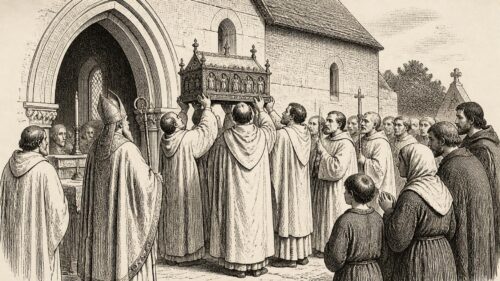
In 1242, a great chapter at Louth, attended by the Primate of Armagh and Irish Canons Regular, ceremonially raised relics of Saint Mochta, affirming religious networks and local prestige. Donnchad Cairprech Ó Briain, king of Thomond, and his son died, enabling Conchobar’s succession. Maurice FitzGerald, justiciar, and Fedlimid Ó Conchobair campaigned in Tír Chonaill, obtaining hostages before Tadhg Ó Conchobair’s capture. Brian Ó Dubhda was killed on pilgrimage, while Sligo’s hospital changed hands. Violence persisted in Connacht and Breifne. Hugh de Lacy’s death ended his personal Ulster lordship, while Armagh’s primate travelled to England. These events reveal fragmented, interconnected authority.
Read Article
Archived: 25 October 2026
Abstract
In 1241, Ireland’s political map did not suddenly become simpler, but decisive events in Ulster, Connacht and the midlands altered the balance of power. The most consequential was the battle of Caimeirge, where Brian Ó Néill and the newly installed Máel Sechnaill Ó Domnaill defeated and killed Domnall Mac Lochlainn, king of Tír Eoghain. In the west, Maurice FitzGerald, justiciar of Ireland, combined a damaging raid with a short-lived peace-making expedition. Meanwhile, the arrival of Albert Suerbeer, the German-born archbishop of Armagh, with papal authority over the churches associated with St Patrick made ecclesiastical jurisdiction an urgent political question. New
Read Article

Archived: 25 October 2026
Abstract
In 1240, one journey gave Irish politics an unusually direct connection with the court of King Henry III of England. Feidlim Ua Conchobair, king of Connacht, crossed the sea to present his case before the English king. The Annals of Connacht state plainly that he went to complain of the Galls and Gaels of Ireland: that is, of both the Anglo-Norman settlers and lords commonly called ‘Foreigners’ in Irish chronicles, and Irish opponents. The annalists say that Henry received him with great honour and that Feidlim returned safely, cheerful and satisfied. The brief notice does not preserve the arguments, concessions
Read Article

