Three-Leaved Pool Under Till30696 BCE
Around 30,696 BCE, Ireland’s evidence is environmental rather than historical, within the unstable later Marine Isotope Stage 3. Organic freshwater sediments at Derryvree, County Fermanagh, dated broadly to this interval, show an ice-free tundra wetland between glacial advances. Mosses, sedges, bogbean, dwarf willow and insects indicate cold periglacial conditions supporting local freshwater life. Southern caves preserve MIS 3 fauna including mammoth, reindeer, giant deer, hyaena and Arctic fox, though dating and contexts require caution. No secure evidence establishes human settlement, culture or society; possible cut marks are inconclusive. Subsequent ice-sheet expansion reshaped landscapes and erased much evidence over later millennia.
Dateline
The label 30,696 BCE is useful for organising a modern chronology, but it does not identify a recoverable Irish year. No known calendar, written record or dated event allows historians to say what happened in Ireland at that precise moment. In radiocarbon terms it lies roughly 32,646 years before the 1950 “present” used in BP dating, within the later part of Marine Isotope Stage 3 (MIS 3), a climatically unstable segment of the last glacial cycle. The responsible history of this point is therefore a history of ranges, sediments and probabilities. Ireland’s best evidence is environmental rather than historical: an ice-free freshwater deposit at Derryvree, near Maguiresbridge in County Fermanagh, and a scattered record of Ice Age animal remains, especially from caves in the south.
A Date Within a Range
The Derryvree deposit is central because its published radiocarbon age, BIRM-166, was 30,500 radiocarbon years BP, with a substantial uncertainty of +1,170/−1,030 years. Radiocarbon years are not the same as calendar years: concentrations of atmospheric carbon-14 have varied, so laboratory ages must be calibrated against independently dated records. Calibrated estimates place the deposit broadly in the later MIS 3 world, approximately 36,900–31,700 calendar years BP. The modern year-label 30,696 BCE falls within that wide interval, but this does not mean that the Derryvree sediments were laid down in that particular year. It means that the deposit is a valuable, broadly contemporary window on Ireland during a cold and changeable age.
That distinction matters. The Derryvree discovery emerged from road works in 1969, where a cutting exposed organic-rich freshwater silts and fine sands trapped between two thick till sheets in a drumlin. Till is debris deposited by glacier ice. The sequence therefore establishes three broad facts: glacier ice had previously occupied this Fermanagh locality; an interval followed in which open fresh water and wet ground supported plants and insects; and later ice or ice-derived deposits sealed the evidence below another till. It is powerful proof of local environmental change, but it is not a village site, a hunting camp or a record of a named people.
The Derryvree Wetland
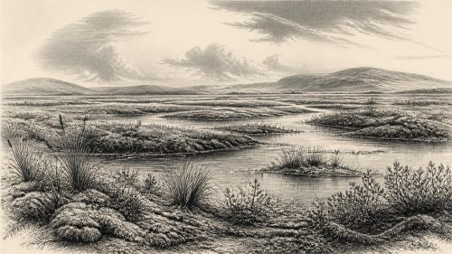
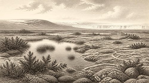
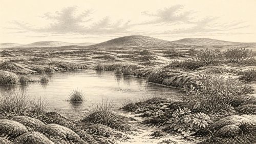
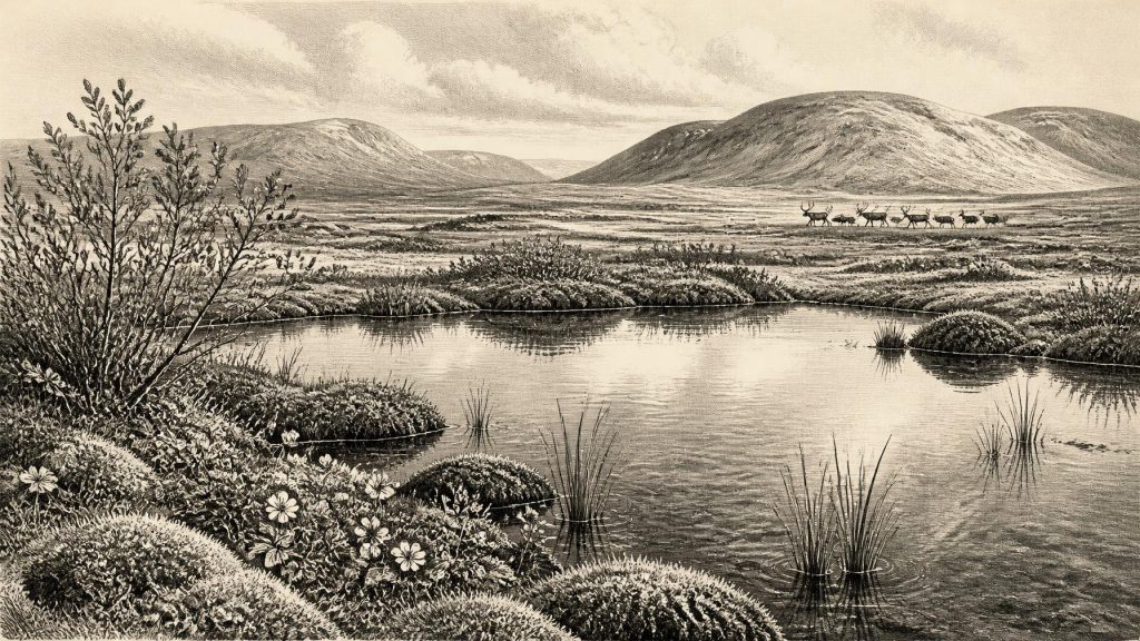
Plants and small animals preserved in the silts give the clearest impression of the landscape. The assemblage has a full-glacial, northern character: it indicates treeless tundra and a periglacial regime, meaning a severe cold environment beyond or near the margin of glacier ice, where seasonal freezing and thawing shaped the ground. Yet it was not simply a blank, frozen desert. Freshwater mosses, sedges and other wetland plants survived around a pool or marsh. Fossils include bogbean (Menyanthes trifoliata), a three-leaved wetland plant; alternate water-milfoil (Myriophyllum alterniflorum); dwarf willow; mountain avens; lesser clubmoss and other cold-adapted taxa.
This combination supports a textured reconstruction. Shallow fresh water persisted locally, probably with sedgy margins, mossy ground and short-lived summer growth. Low herbs and prostrate shrubs could exploit sheltered patches, while exposed slopes and poorly drained hollows would have been far harsher. Insect evidence also points towards a cold northern environment. These are direct biological traces, not merely deductions from a climate model. Even so, they describe a locality, not the entire island. Derryvree was a wet basin in what is now County Fermanagh, and its plant community cannot simply be projected unchanged over Cork, the western seaboard or every upland.
The wider interpretation is that parts of Ireland were ice-free during this phase, although the island’s glacial geography was neither fixed nor uniform. Later expansion of the British–Irish Ice Sheet overran large areas and destroyed or buried many older land surfaces. This helps explain why so little survives. At around this date, ice, permafrost, meltwater, wind-blown sediment and sparse vegetation were all agents of landscape change. Rivers did not necessarily follow their modern courses, coastlines were unlike those of today, and much of the continental shelf was exposed by lower global sea levels. Yet a low sea level should not be mistaken for proof of a simple walkable route from mainland Europe to Ireland: the configuration of sea, land bridges, ice margins and viable corridors changed through time and remains difficult to map at yearly resolution.
Animals at the Atlantic Edge
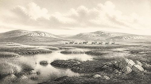
Southern Irish caves provide another, very different archive. Castlepook Cave, also known as Mammoth Cave, near Doneraile in County Cork has produced a rich but complicated collection of Pleistocene bones. Species attributed to the wider MIS 3 fauna include woolly mammoth, giant deer, reindeer, brown bear, spotted hyaena, wolf, Arctic fox, hare and lemming. Such animals demonstrate that Ireland formed part of a broader north-west European zone capable, at differing times, of supporting cold-adapted herbivores and their predators. Reindeer and mammoth suggest open vegetation; lemmings and Arctic fox reinforce the impression of severe conditions; hyaenas reveal that large carnivores also moved through this landscape.
However, this is evidence for regional faunal presence across long periods, not a single scene in 30,696 BCE. Many Castlepook remains were excavated in the early twentieth century, before modern stratigraphic recording and laboratory protocols. Cave deposits may mix bones brought in by carnivores, animals that died in shelter, material moved by water or sediment, and finds disturbed during earlier digging. Improved radiocarbon pretreatment has also shown that some older determinations from southern Irish caves were too young. Recent reassessment has pushed important faunal occurrences further back into MIS 3 and suggests that some species, notably giant deer and spotted hyaena, may have disappeared locally before about 40,000 calibrated years BP. The lesson is not that the evidence is weak; it is that its proper strength lies in careful reconstruction rather than dramatic certainty.
People: Possibility, Not a Population
No securely dated house, hearth, stone-tool assemblage, burial or settlement demonstrates a resident human community in Ireland around this point. Consequently, there is no sound basis for describing clans, chiefs, territories, diplomacy, warfare, language, religion or systems of law. Nor is there evidence for farming, domesticated animals, pottery, metalworking, monuments or regular maritime trade. A society can only be described when its material traces allow it; here, they do not.
The possibility of fleeting human activity nevertheless remains an important research question. A reindeer bone from Castlepook has been reported as bearing a possible cut mark consistent with stone-tool use and has been discussed as potential evidence for Upper Palaeolithic human handling. If confirmed, it would indicate an episode of butchery or carcass processing rather than prove permanent occupation. Its old excavation context, the difficulty of distinguishing human cuts from damage caused by carnivores, sediment, excavation or later handling, and uncertainty in linking individual specimens to exact climatic moments all demand caution. The best-established evidence for human presence in Ireland is much later: a cut-marked brown-bear patella from Alice and Gwendoline Cave in County Clare, directly dated to roughly 12,810–12,590 calibrated BP. That finding should not be retrojected thirty thousand years further back.
It is reasonable to say that, if people did reach Ireland during MIS 3, they would have been highly mobile hunter-gatherers operating within a demanding seasonal environment. This is an inference from the wider European Upper Palaeolithic, not a demonstrated description of an Irish group. There is presently no Irish evidence to identify their cultural tradition, tools, camp organisation, beliefs, clothing or routes of travel. The absence may partly reflect later glaciation and submerged landscapes, but absence of surviving evidence is not evidence of a lost population.
Everyday Life Without an Archive
For non-human life, the evidence is more tangible. The Derryvree pool and its margins would have offered water, plant cover and perhaps seasonal feeding opportunities amid open ground. Large grazing animals could have ranged over wider tundra-steppe terrain, while predators and scavengers followed them. Winter conditions were likely long and punishing; summers, though brief, permitted freshwater ecosystems and plant growth. This seasonal contrast is more securely supported than any claim about human daily routines.
There is no basis for identifying Irish trade or diplomacy. Animal movement does show ecological connectivity: mammals reached the island’s region despite changing water barriers, terrain and ice. But movements of reindeer, hyaena or mammoth are not evidence of human exchange networks. Similarly, there are no artefacts from which to infer art, ritual or learning. The wetland fossils themselves are culturally silent, though they have immense scientific value. They preserve biological knowledge unavailable from later written history and show that an apparently empty glacial landscape contained complex, resilient communities of plants and animals.
An Ice-Age Ireland in Motion
The most important development around this notional date was environmental instability. Ireland was neither the familiar green island of later millennia nor necessarily a land entirely smothered by ice at every location. At Derryvree, an open freshwater tundra existed between episodes of glaciation; elsewhere, fauna occupied caves or travelled across landscapes whose exact form cannot now be fully restored. Over subsequent millennia the last British–Irish Ice Sheet grew to a far more extensive configuration, profoundly reshaping land and erasing evidence.
Thus 30,696 BCE should not be treated as a year of kings, battles or beginnings. It marks a broad interval in which Irish history can be illuminated by a buried Fermanagh wetland, cave bones in Cork, and the methods used to date and interpret them. The three-leaved bogbean seed, mosses and sedges beneath a drumlin are modest remains, but they are among the most eloquent witnesses available: evidence that, before the last great ice expansion, cold open country and freshwater life persisted in at least part of Ireland.
Primary Sources
- A Middle Midlandian Freshwater Series at Derryvree, Maguiresbridge, County Fermanagh, Northern Ireland
- Early Midlandian–Middle Midlandian, Pleistocene, Northern Ireland
- Irish Pleistocene Biostratigraphy
- Figure 6.— The Subdivision of the Quaternary Period in Ireland
- Dryas octopetala
- Menyanthes trifoliata
- Salix herbacea
- Selaginella selaginoides
- Myriophyllum alterniflorum
- The Irish Quaternary Fauna Project
- A Reconsideration of the Radiocarbon Dating of the Marine Isotope Stage 3 Fauna from Southern Ireland
- Continuity of Brown Bear Maternal Lineages in Northern England Through the Last-glacial Period
- First Evidence of a Late Upper Palaeolithic Human Presence in Ireland
- First Evidence of a Late Upper Palaeolithic Human Presence in Ireland
- The Colonization of Ireland: A Human Ecology Perspective
- Ireland: Submerged Prehistoric Sites and Landscapes
- New Insights on the Fauna of Ireland's Younger Dryas and Early Holocene from Alice & Gwendoline Cave
- Growth and Retreat of the Last British–Irish Ice Sheet, 31,000 to 15,000 Years Ago: The BRITICE-CHRONO Reconstruction
- Early Deglaciation of the British-Irish Ice Sheet on the Atlantic Shelf Northwest of Ireland Driven by Glacioisostatic Depression and High Relative Sea Level
- Marine Geophysical Evidence for Late Pleistocene Ice Sheet Extent and Recession off Northwest Ireland
- Pattern and Timing of Retreat of the Last British-Irish Ice Sheet
- Exploring Controls of the Early and Stepped Deglaciation on the Western Margin of the British Irish Ice Sheet
- Trimlines, Blockfields and the Vertical Extent of the Last Ice Sheet in Southern Ireland
- Middle Midlandian Interstadial Deposits at Greenagho, Near Belcoo, County Fermanagh, Northern Ireland