Derryvree Basin30574 BCE
Thirty thousand five hundred and seventy-four BCE is a modern label rather than a precisely recoverable Irish date. Derryvree, County Fermanagh, preserves organic freshwater sediments between glacial tills, broadly dated to 34,950–29,750 BCE, indicating an ice-free interval within a fluctuating Late Pleistocene climate. Plant and insect remains show cold pools, bogbean, sedges, mosses and open tundra vegetation, not woodland or permanent island-wide ice. Caves, especially Castlepook, demonstrate varied cold-stage fauna, including reindeer, mammoth and predators, although deposits are complex. Possible human butchery evidence remains uncertain. No secure evidence supports settlement, farming, communities or institutions; environmental change forms the surviving history.
Dateline
The label 30,574 BCE is a modern chronological convenience, not a year that can be recovered from Irish evidence with calendar-like precision. No written record, dated settlement surface or annually resolved natural archive identifies an event in Ireland at this point. The responsible frame is the Late Pleistocene, broadly within Marine Isotope Stage 3, when the climate of the north Atlantic region shifted repeatedly between relatively less severe and markedly colder phases. The best Irish evidence is dated in broad ranges. It can illuminate conditions around this notional year, but cannot tell us what happened in one particular season, let alone on a particular day.
The closest and most revealing Irish record comes from Derryvree townland near Maguiresbridge, County Fermanagh. There, roadworks in 1969 cut through a drumlin and exposed organic silts and fine sands trapped between two thick sheets of glacial till. The sequence is important because it records change in the order it occurred: ice deposited the lower till; freshwater and wetland sediments accumulated during an intervening ice-free interval; then glacier ice returned or advanced across the locality and laid down the upper till. The original radiocarbon measurement on the organic deposit, Birm-166, was 30,500 radiocarbon years before present, with a substantial uncertainty of +1,170 and −1,030 years. Modern calibration does not convert that result into a single BCE year. It places the deposit broadly around 36,900–31,700 calibrated years before present, approximately 34,950–29,750 BCE. Thus 30,574 BCE falls within a useful chronological neighbourhood, but not at a point that can be isolated in the sediment.
An Archive Between Two Ices
Derryvree is an environmental archive, not an archaeological settlement. Its silts, sands, pollen, plant remains and insects show that water and life occupied a Fermanagh hollow during part of a long cold interval. They do not reveal houses, camps, fields, graves, tools or people. Yet that negative point is itself historically significant. Later ice covered and reshaped much of Ireland, destroying or dispersing fragile traces that might once have existed. The survival of this small inter-till deposit is exceptional precisely because it was sealed beneath later glacial sediment.
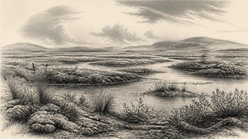
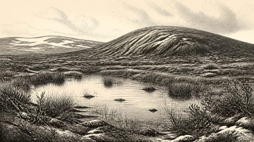
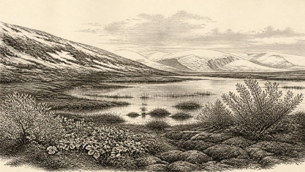
The original investigators described the flora and fauna as having a “full glacial” character, and their conclusion remains the basic one: Derryvree supported open tundra vegetation under a periglacial regime. Periglacial does not mean that the pool itself was frozen beneath a glacier. It describes an environment near major ice masses, shaped by intense cold, seasonal freezing and thawing, unstable ground and short growing seasons. The basin could contain open or slow-moving freshwater while surrounding land remained exposed, sparsely vegetated and climatically severe. The deposit therefore rules out an image of uninterrupted ice cover everywhere in Ireland throughout this whole span; it cannot, however, provide a weather report for every Irish coast, valley or mountain.
Radiocarbon dating sets further limits. “Before present” conventionally means before AD 1950, while radiocarbon years measure the residual carbon-14 in once-living material rather than elapsed calendar time. Atmospheric carbon-14 has varied, so results require calibration against independently dated records. At more than thirty millennia ago, ranges are broad and can be revised as calibration curves improve. It would be inaccurate to say that the Derryvree wetland existed specifically in 30,574 BCE. It is accurate to say that its dated interval provides the principal local evidence for the kind of Irish landscape that may have existed around that modern label.
Cold Water and Open Ground
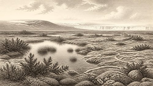
The Derryvree fossils make the local landscape unusually tangible. Pollen was poorly preserved, but plant macrofossils, spores and moss remains are more informative. They include sedges and grasses, together with species now familiar from Arctic-alpine or wetland settings: dwarf willow (Salix herbacea), mountain avens (Dryas octopetala), lesser clubmoss (Selaginella selaginoides) and bogbean (Menyanthes trifoliata). Pollen of alternate water-milfoil points to aquatic vegetation. These are direct traces of plants growing in, or close to, the freshwater basin; they are not merely modern analogies imposed on an unknown landscape.
Bogbean gives the article its title because its fossil seed is a particularly vivid indication of shallow, cold freshwater margins. Today the plant favours fens, marshes and the edges of pools. Its presence at Derryvree, alongside mosses and sedges, supports an interpretation of wet, organic ground around open water. Insect remains likewise suggest a muskeg-like mosaic: plant-rich pools, mossy margins and waterlogged sediment rather than a dry, uniform steppe. Beyond the wetland, tundra herbs and low woody plants probably occupied patches of better-drained ground. Trees did not form a forest canopy here. A few grains of pine or hazel pollen cannot responsibly be treated as proof of local woodland, since long-distance transport and reworking are possible and the pollen record is sparse.
This was not an empty wilderness. Freshwater basins concentrate nutrients, shelter and vegetation in a wider landscape where exposed ground could be frost-disturbed and difficult to colonise. Summer growth may have been rapid but brief; winter conditions were severe. The contrast between the wet hollow and the surrounding open ground is more defensible than any attempt to reconstruct a picturesque, island-wide scene. Derryvree was a local habitat within a changing region, not a miniature version of all Ireland.
Ice Was Growing, Not Static
The wider setting was one of instability. Greenland ice-core records demonstrate abrupt millennial-scale shifts in North Atlantic climate during the last glacial period, but Irish deposits cannot simply be matched year for year to those distant cores. More recent reconstruction of the British–Irish Ice Sheet shows substantial ice growth from about 31,000 to 26,000 years ago, while also stressing that different sectors advanced, reached maximum extent and retreated at different times. At about this horizon, ice caps and mountain glaciers existed in parts of Ireland, and the eventual ice sheet was becoming a decisive force in the reshaping of the island.
Derryvree supplies the necessary local qualification to that broad picture. Its lower and upper tills show that the Fermanagh locality experienced more than one episode of glaciation, but the organic bed proves an intervening phase sufficiently ice-free for freshwater life. It is therefore unsafe either to imagine a wholly temperate Ireland or to paint the entire island as a single, unbroken ice sheet. The physical geography of travel, animal movement and shorelines changed over long periods as ice volume, sea level and land elevation altered. Lower global sea level did not automatically create a simple, dependable land bridge from Britain to Ireland; the Irish Sea basin, local isostatic movement and advancing glacier margins made any possible route geographically complex.
Caves and Animal Country
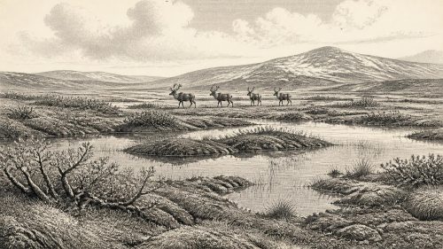
Caves in southern Ireland offer a second, less neatly localised window. Castlepook Cave near Doneraile, County Cork, has yielded an important but complicated assemblage of Middle Midlandian fauna, including remains attributed to woolly mammoth, reindeer, giant deer, brown bear, wolf, Arctic fox, hare, lemmings and spotted hyaena. Modern redating has shown that some older determinations require caution, while confirming that several animals belong to the Marine Isotope Stage 3 world before the Last Glacial Maximum. These cave deposits are not a census of a single landscape. Bones can be accumulated by carnivores, moved within caves, mixed during excavation or represent different episodes separated by millennia.
Nevertheless, the assemblage establishes that Ireland could support a varied cold-stage fauna. Reindeer and mammoth imply grazing landscapes; hyaenas and wolves point to predators and scavengers; bears also used caves. Their presence does not prove that each species lived together at Derryvree, or that a herd passed the Fermanagh pool in 30,574 BCE. It does show that the island was connected to wider ecological processes affecting north-west Europe, despite its marginal Atlantic position.
A reindeer femur from Castlepook has been reported as bearing an incision interpreted as a stone-tool butchery mark and as being approximately 31,000 BCE in popular heritage presentation. If that interpretation withstands further scrutiny, it would be a remarkable indication that people handled an animal in Ice Age Ireland. But the bone does not come from a securely dated camp floor with associated tools, hearths, dwellings or human remains. It cannot establish a resident population, a hunting territory or a route of arrival. The more cautious conclusion remains that direct evidence for people at this early date is unresolved and far slighter than the environmental and faunal evidence.
No Polities, No Proven Communities
There can therefore be no factual account of Irish kingship, political affairs, diplomacy, warfare, organised religion, literacy, trade or named communities in 30,574 BCE. None is preserved or inferable from the Derryvree record. Nor is there evidence for farming, settled villages, cultivated land, monuments, exchange goods or institutional learning. To supply such features from later Irish prehistory, or from better-known Upper Palaeolithic societies in continental Europe, would turn analogy into invention.
If people did enter Ireland during one of the relatively open intervals of this period, they would have been mobile hunter-gatherers operating within a challenging north-west European world. That is a possibility, not an established Irish social history. The evidence securely supports a different story: cold freshwater at Derryvree; low tundra vegetation around it; animals adapted to an open, severe landscape elsewhere on the island; and ice that would later bury, erase and remodel much of that terrain. For Ireland around 30,574 BCE, environmental change is not background to history. It is the history that the surviving record can genuinely tell.
Primary Sources
- A Middle Midlandian Freshwater Series at Derryvree, Maguiresbridge, County Fermanagh, Northern Ireland
- Middle Midlandian Freshwater Series at Derryvree, Maguiresbridge, County Fermanagh, Northern Ireland
- Palaeoecology: Irish Quaternary Association Field Guide 16
- Figure 6—The Subdivision of the Quaternary Period in Ireland
- Menyanthes trifoliata L.
- Dryas octopetala L.
- Salix herbacea L.
- Selaginella selaginoides (L.) P. Beauv.
- Myriophyllum alterniflorum DC.
- Growth and Retreat of the Last British–Irish Ice Sheet, 31,000 to 15,000 Years Ago: the BRITICE-CHRONO Reconstruction
- The Timing and Magnitude of the British–Irish Ice Sheet Between Marine Isotope Stages 5d and 2: Implications for Glacio-Isostatic Adjustment, High Relative Sea Levels and ‘Giant Erratic’ Emplacement
- Character of Advance and Retreat of the Southwest Sector of the British-Irish Ice Sheet During the Last Glaciation
- The Problem of a Late Quaternary Landbridge Between Britain and Ireland
- A Reconsideration of the Radiocarbon Dating of the Marine Isotope Stage 3 Fauna from Southern Ireland
- The Irish Quaternary Fauna Project
- Heritage Artefacts of County Cork
- First Evidence of a Late Upper Palaeolithic Human Presence in Ireland
- New Insights on the Fauna of Ireland’s Younger Dryas and Early Holocene from Alice & Gwendoline Cave
- The IntCal20 Northern Hemisphere Radiocarbon Age Calibration Curve (0–55 cal kBP)
- A Stratigraphic Framework for Abrupt Climatic Changes During the Last Glacial Period Based on Three Synchronized Greenland Ice-Core Records: Refining and Extending the INTIMATE Event Stratigraphy
- Ireland: Submerged Prehistoric Sites and Landscapes