12 July 2026
Police Cabin
Around 1880, the interior of a police cabin at Gurranmore, near Pallas in County Limerick, reveals the modest conditions in which rural constables lived and worked. The small room is sparsely furnished, with simple wooden fittings, basic household utensils and few comforts. Uniformed officers occupy the cramped space, suggesting that the cabin served as both workplace and living quarters. Published in The Graphic in 1880, the image offers a rare glimpse of everyday policing in nineteenth-century Ireland. It preserves not only the appearance of the station, but also the disciplined, isolated life experienced by men posted in rural communities nearby.
View Image16 July 2026
Horse Brake
By 1900, Limerick’s great long-distance stagecoach era had largely disappeared, replaced by the expanding railway network. Horse-drawn vehicles nevertheless remained essential throughout the city and surrounding countryside. Large brakes and passenger wagons carried groups on local journeys, outings and transfers, while hackney cars, jaunting cars, drays and private carriages crowded the streets. Horses also transported goods from the docks, breweries, distilleries and railway station. This reconstructed scene captures a group of formally dressed men aboard a substantial horse-drawn vehicle, reflecting a transitional age when steam powered intercity travel, but horses still firmly supported Limerick’s everyday commercial, urban and social life.
View Image10 July 2026
Barricades Limerick
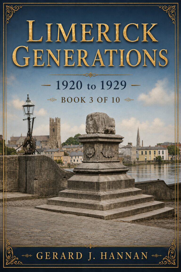
At Thomond Bridge in Limerick in 1923, a soldier stands guard beside a rough barricade near the Treaty Stone, a symbolic landmark now overshadowed by civil conflict. The scene evokes the tense aftermath of the Treaty split, when Anti-Treaty IRA forces and pro-Treaty National Army troops fought for control of the city. Sandbags, timber, stone, and street debris suggest hurried urban fortification, while the soldier’s watchful posture conveys danger and uncertainty. The bridge becomes both military checkpoint and historic threshold, linking Limerick’s medieval memory with the bitter street warfare that marked the Irish Civil War in the city that summer.
View Image16 July 2026
Nua Ruins
The old church near Holycross, County Limerick, was recorded as a ruin by 1642. In 1679, Rachael Bourchier, Countess of Bath, restored the building, just one year before her death. Thereafter it became known as the New Church, or Teampall Nua in Irish, and served local Church of Ireland parishioners. A belfry was added during the restoration, giving the structure a distinctive profile. Although the church later fell out of use and returned to ruin, its surviving walls, arched openings and graveyard remain important reminders of seventeenth-century religious life and the long history of worship at this historic site today.
View Image13 July 2026
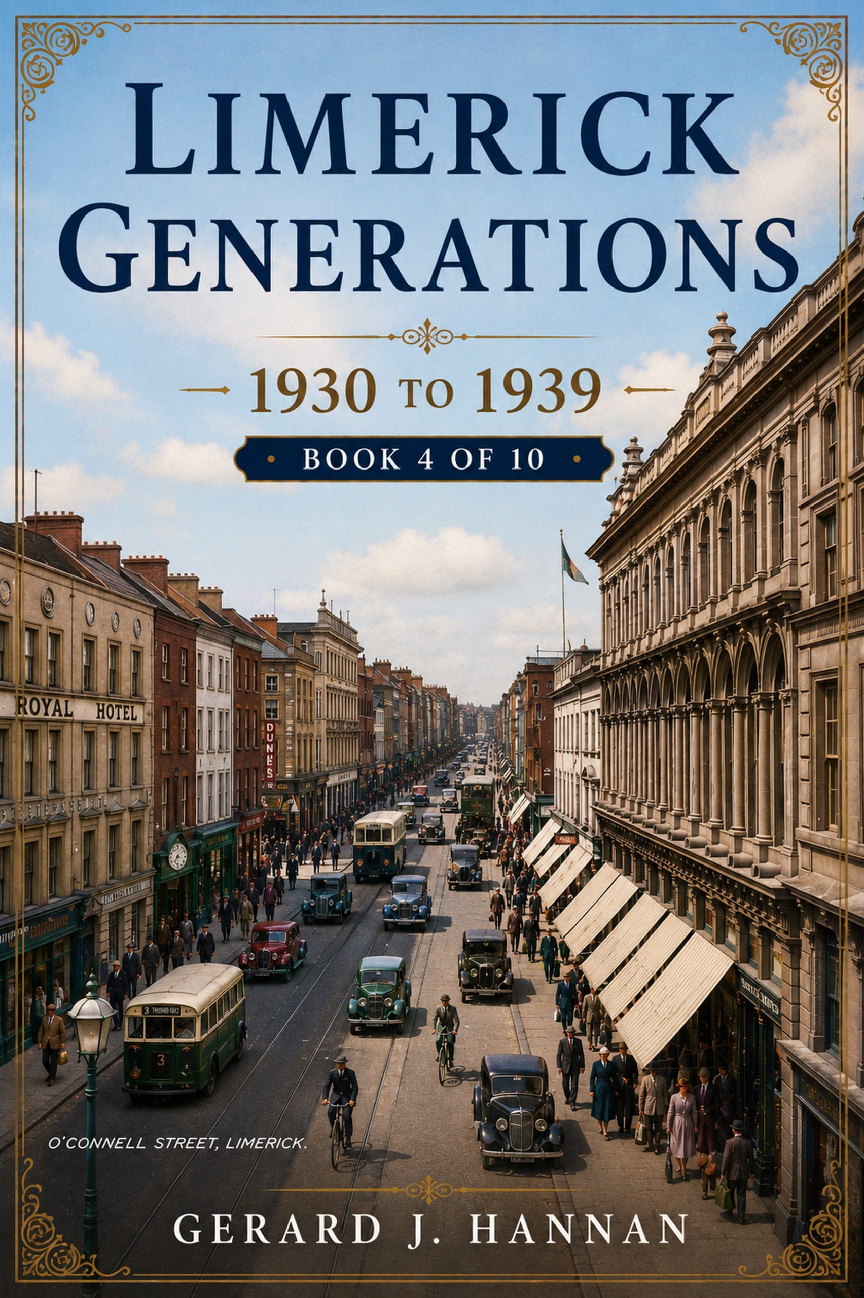
OConnell Street
This 1937 view of O’Connell Street, historically known as George’s Street, captures Limerick’s principal commercial thoroughfare during a period of urban transition. Georgian façades, prominent shopfronts and the landmark clock tower frame a busy scene of pedestrians, cyclists, motorcars and public transport. Heavy coats and formal dress reflect everyday life before the Second World War, while traditional businesses line both sides of the street. Several buildings and upper storeys shown here were later altered or demolished during redevelopment. Despite extensive modernisation and pedestrianisation, O’Connell Street remains central to Limerick’s commercial, architectural and social identity within the changing modern city today.
View Image16 July 2026
Mountshannon House
Mountshannon House, near Castleconnell in County Limerick, was one of Ireland’s grandest eighteenth-century mansions. Built around 1750, it later gained a monumental Ionic portico during an 1813 remodelling by architect Lewis Wyatt. Tradition claimed the house contained 365 windows, while its vast entrance hall could accommodate a horse-drawn carriage. Surrounded by a 900-acre demesne between the River Shannon and Mulkear River, its celebrated gardens were designed by John Sutherland. Home to the powerful FitzGibbon family, including John “Black Jack” FitzGibbon, 1st Earl of Clare, the mansion became a renowned centre of political influence, hospitality, wealth, political power, and aristocratic life.
View Image13 July 2026
OConnell Street
This 1937 view of O’Connell Street, historically known as George’s Street, captures Limerick’s principal commercial thoroughfare during a period of urban transition. Georgian façades, prominent shopfronts and the landmark clock tower frame a busy scene of pedestrians, cyclists, motorcars and public transport. Heavy coats and formal dress reflect everyday life before the Second World War, while traditional businesses line both sides of the street. Several buildings and upper storeys shown here were later altered or demolished during redevelopment. Despite extensive modernisation and pedestrianisation, O’Connell Street remains central to Limerick’s commercial, architectural and social identity within the changing modern city today.
View Image14 July 2026
OConnell Street
By 1937, O'Connell Street stood as Limerick's principal commercial thoroughfare, its Victorian and Georgian frontages housing chemists, drapers, and grocers that served the city's daily life. Ireland was still finding its footing after the Economic War with Britain, which had strained trade and agriculture through much of the decade, while the country prepared to adopt a new Constitution that same year. Horse-drawn jaunting cars remained a familiar sight on Limerick's streets even as motor vehicles grew more common, reflecting a city balancing older rhythms of trade and transport with the slow arrival of modern urban life in provincial Ireland.
View Image9 July 2026
Johns Castle
King John’s Castle stands beside the River Shannon at Curragower Falls, with broken water, river rocks and the castle’s stone frontage visible across the scene. The round towers, curtain walls and riverside defences remain central, while the burned Castle Barracks appears roofless and blackened within the enclosure. Thomond Bridge is visible to the left, with nearby trees, older buildings and a church tower rising beyond the castle walls. The river surface shows ripples, reflections and shallow movement below the fortifications. The image presents the castle after damage, set within the wider early twentieth century Limerick urban riverside landscape after 1922.
View Image11 July 2026
Limerick Market
This photograph, dated 1 March 1937, captures a busy market day in Limerick city. Horse-drawn carts, traders, shoppers, and farmers crowd the wet street, creating a vivid picture of everyday commercial life. On the right, a man drives a horse and trap, a form of transport commonly associated with more prosperous Irish farmers. Market goods are displayed on carts and stalls, while pedestrians move between the buildings lining the street. The scene records the importance of markets to Limerick’s economy, bringing rural producers and urban customers together during a period when horses remained central to transport and trade throughout Ireland.
View Image