Derryvree’s Silted Lake30545 BCE
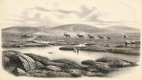
Around 30,545 BCE, Ireland experienced unstable Middle Midlandian glacial conditions, not a documented historical year. At Derryvree, County Fermanagh, freshwater silts sealed between tills preserve evidence of an ice-free interval with treeless tundra, wetlands, aquatic plants, mosses and invertebrates. Cave faunas, especially Castlepook in Cork, indicate intermittent presence of reindeer, mammoth, giant deer and predators, reflecting ecological connections with Europe when sea levels were lower. These assemblages span episodes rather than one moment. No secure human settlement is known; a possibly cut-marked reindeer bone suggests tentative Upper Palaeolithic contact. Derryvree chiefly reveals a cold, changing landscape preceding regional maximum glaciation.
Dateline
The label “30,545 BCE” is useful only as a modern filing point. It does not identify an event that happened in a recorded Irish year, nor can archaeology resolve conditions to a single calendar year so far back. It corresponds approximately to 32,495 years before AD 1950, the conventional “present” of radiocarbon dating. For Ireland at this depth of time, the responsible history is therefore one of broad phases, dated deposits and degrees of confidence rather than named rulers, battles or settlements.
That phase belongs to the later Middle Midlandian, within the last glacial cycle and before the fullest expansion of the Last Glacial Maximum. Ireland was undergoing severe climatic instability. Ice was growing across the wider British–Irish region, sea level was far lower than today, and the shape of coasts, river valleys and animal corridors differed fundamentally from the familiar island. Yet the evidence does not permit a simple picture of Ireland as either wholly ice-covered or uniformly habitable at this particular moment. The best evidence points instead to changing local landscapes: some areas affected by advancing ice, others preserving short-lived records of cold, open and sometimes watery environments.
A Date Without a Chronicle
No written sources, oral traditions, monuments, houses or securely dated human burials belong to this time in Ireland. “Political affairs”, diplomacy and formal warfare are therefore not recoverable subjects. Nor can historians identify an Irish people, language, kin group or religious system in the ordinary sense. To apply later ideas such as tribes, territories or Celtic identity to the period would be anachronistic.
The numbered date should not be confused with a radiocarbon determination. One especially important Irish deposit, at Derryvree near Maguiresbridge in County Fermanagh, produced a conventional radiocarbon age of 30,500 14C years BP, with a large quoted uncertainty of +1,170/−1,030 years. That is not identical to 30,545 BCE. Radiocarbon years must be calibrated against changing atmospheric carbon, and calibration at this age is neither a neat subtraction nor a route to annual precision. The original publication established the age and character of the deposit; later work has also stressed that older legacy dates must be assessed cautiously when used to reconstruct the growth of the Irish Ice Sheet.
Nevertheless, Derryvree is directly relevant. Its freshwater silts and fine sands were sealed between two substantial till sheets in a drumlin. In other words, a wetland or shallow-water environment formed during an interval between episodes of glacial deposition, and was later buried by ice-related sediment. That physical sequence is a rare survival. Most exposed landscapes of Ireland have been heavily modified by later ice, meltwater, erosion and soil formation. A small organic-bearing basin protected beneath till can consequently say more about Ice Age Ireland than a vast area of open ground.
The Fermanagh Evidence
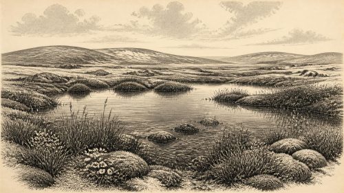
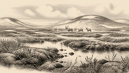
Roadworks exposed the Derryvree sequence in 1969. Researchers recovered pollen, plant macrofossils, mosses and invertebrate remains from its silts and sands. The material does not reconstruct a forested Ireland or a settled lakeside. Rather, it indicates an open tundra landscape under periglacial conditions: an environment shaped by intense cold, seasonal freezing and thawing, and sparse cover on better-drained ground.
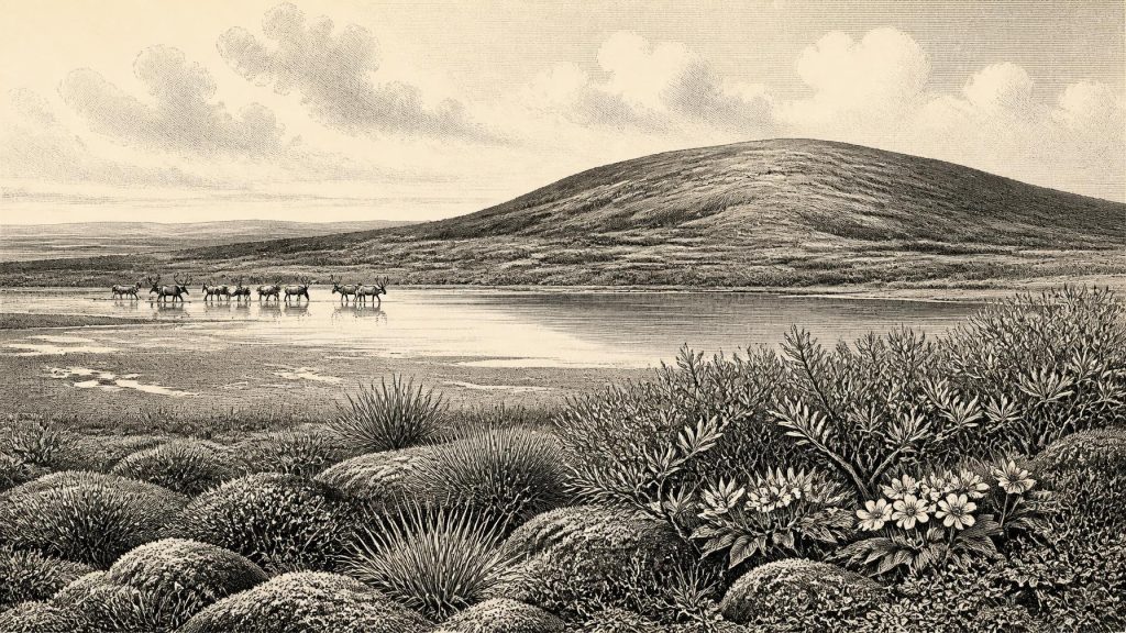
The plant record is particularly valuable because it is more specific than a general impression of “Ice Age cold”. It included arctic-alpine and wetland plants, among them mountain avens (Dryas octopetala), dwarf willow (Salix herbacea), bogbean (Menyanthes trifoliata) and water-milfoil (Myriophyllum). Sedges, grasses, herbs and mosses could exploit damp ground around pools and seepages even where trees could not form woodland. A few pollen grains from tree taxa were not treated as proof of local forest: pollen can travel far, survive selectively and be redeposited. The sound conclusion is a treeless or nearly treeless mosaic of cold grass-herb tundra, mossy wet ground and shallow freshwater, not a precise map of every plant community.
This was not necessarily a frozen desert. The Derryvree deposit shows that, in at least one Fermanagh locality during a cold interval, liquid water and productive summer vegetation existed. Short growing seasons could still produce flowering herbs, sedges and aquatic plants; insects and small invertebrates could occupy the water margins. But “productive” must be kept in scale. Frost, snow cover, wind exposure and permafrost or seasonally frozen ground would have limited soils, trees and reliable plant food. The landscape was a difficult one for large resident populations, even if it provided seasonal forage for grazing and browsing animals.
Animals on a Changing Peninsula
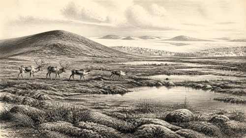
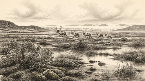
The wider Irish fossil record supplies the animal context, most notably the cave assemblages of County Cork. Castlepook Cave, near Doneraile, contains remains attributed to a Middle Midlandian fauna that includes reindeer, woolly mammoth, giant deer, brown bear, wolf, Arctic fox, mountain hare, lemmings and spotted hyaena. These finds show that Ireland was intermittently connected ecologically to north-western Europe. Animals could reach what is now Ireland when sea levels were lower and routes across the exposed or narrowed Irish Sea region were more favourable than they are now.
They do not demonstrate that every listed animal lived together, in the same valley, in 30,545 BCE. Cave deposits accumulated over long periods; older excavations did not always record positions to modern standards; and direct dates show that Castlepook material represents more than one episode. A mammoth bone dated in the older literature and later direct dating of other specimens give broad chronological anchors, but the assemblage is not a photograph of one day’s ecosystem. It is safer to say that cold-adapted and large-bodied mammals repeatedly occurred in Ireland during parts of Marine Isotope Stage 3, before conditions changed towards the Last Glacial Maximum.
Predators matter to this picture. The presence of spotted hyaena at Castlepook indicates more than occasional wandering animals: hyaenas transport and modify bones, and caves may have served as carnivore dens as well as traps or shelters. Wolves, bears and foxes occupied different ecological roles. Reindeer suggest open country and seasonal movement; mammoth and giant deer point to a landscape capable, at intervals, of supporting large herbivores. Yet faunal presence alone does not establish population size, migration routes or the length of residence. Ireland was at Europe’s north-western edge, and its animal communities could have been repeatedly broken apart by climate and ice.
The Human Question
There is no securely excavated settlement from Ireland around this date. No hearth, stone-tool assemblage, dwelling floor, burial, rock art or sustained occupation layer can responsibly be assigned to 30,545 BCE. The absence is important: it means that Irish everyday life, learning, spiritual practice, social organisation and exchange cannot be described as known facts.
A reindeer femur from Castlepook has nevertheless made the question more interesting. A mark on the bone has been interpreted as a cut made with a sharp stone tool, implying that people may have butchered a reindeer in Ireland during the Upper Palaeolithic. If that interpretation is sustained, it would be a remarkable indication of human action tens of millennia before the well-established Mesolithic settlement record. It would not, however, prove a permanent colony. One altered bone could represent a brief visit, a hunting party, scavenging from a carcass or a small episode whose camp lies undiscovered or was destroyed by later glaciation.
The distinction between evidence and interpretation is essential. The bone establishes that a reindeer existed and died; its date concerns the animal; the identification of a cut mark depends upon microscopic and taphonomic judgement; and an inference of human presence is stronger only if the mark is genuinely anthropogenic. Even then, claims about food-sharing, trade, ritual or a social landscape would exceed what the find can bear. The earliest published direct evidence generally treated as secure for human activity in Ireland remains much later: a cut-marked brown-bear patella from Alice and Gwendoline Cave, County Clare, dated to the Younger Dryas, approximately 12,900–12,550 calibrated years BP.
Ice, Land and Connectivity
At this point in the last glacial cycle, Ireland’s future physical geography was still being made. The Last Glacial Maximum, usually placed broadly around 26,000–19,000 years ago, lay ahead or was beginning to develop regionally, depending on the measure used. Research on the British–Irish Ice Sheet shows that its growth, thickness and exact limits varied across sectors and remain actively debated. Some reconstructions identify pre-maximum glaciation; others emphasise the difficulty of dating early advances. Derryvree’s inter-till freshwater deposit is consequently significant because it documents a local ice-free interval before later glacial burial, rather than offering a simple island-wide ice limit.
Lower sea level did not mean a single easy land bridge that could be crossed at will. The exposed shelf was a broad, changing terrain affected by rivers, lakes, marshes, windblown sediments, seasonal cold and, in places, ice margins. Connections with Britain and continental Europe were ecological possibilities, not guaranteed highways. For animals and any human visitors, movement would have depended on season, terrain, food and weather.
There was no Irish economy in the later historical sense: no farming, metalworking, market, coinage or demonstrated long-distance trade network. If people entered the island, they would have relied on mobile hunter-gatherer knowledge and portable stone technology, as Upper Palaeolithic groups elsewhere in Europe did. That is an inference from the wider European record, not a recovered Irish toolkit. The evidence from Ireland itself is stronger for environmental opportunity than for human use of it.
What This Moment Means
Ireland around the modern label of 30,545 BCE was not the beginning of a continuous national story. It was a shifting glacial-edge world: a landscape in which freshwater basins could briefly sustain sedges, bogbean and aquatic plants; where reindeer, mammoth and predators occurred at intervals; and where later ice would conceal, erode and rearrange much of the evidence. Derryvree preserves that world at close range, while Castlepook demonstrates its wider faunal reach and raises, without yet resolving, the possibility of very early human contact.
The most defensible conclusion is therefore modest but consequential. Modern calendar-year precision is unavailable. Ireland was not demonstrably settled at this point, and no political, cultural or religious history can be reconstructed for it. But geological and palaeoecological records show that parts of the land supported cold, open, wet-tundra environments before the peak glaciation, while faunal evidence confirms intermittent links to the wider European Ice Age world. Those conditions formed the deep environmental prelude to Ireland’s much later human past.
Primary Sources
- A Middle Midlandian Freshwater Series at Derryvree, Maguiresbridge, County Fermanagh, Northern Ireland
- Palaeoecology: Irish Quaternary Association Field Guide No. 16
- The Irish Quaternary Fauna Project
- A Reconsideration of the Radiocarbon Dating of the Marine Isotope Stage 3 Fauna from Southern Ireland
- First Evidence of a Late Upper Palaeolithic Human Presence in Ireland
- New Insights on the Fauna of Ireland's Younger Dryas and Early Holocene from Alice & Gwendoline Cave
- The Colonization of Ireland: A Human Ecology Perspective
- Reconstructing the Last Irish Ice Sheet 2: A Geomorphologically-Driven Model of Ice Sheet Growth, Retreat and Dynamics
- Late Pleistocene Chronostratigraphy and Ice Sheet Limits, Southern Ireland
- Last Glacial Maximum Cirque Glaciation in Ireland and Implications for Reconstructions of the Irish Ice Sheet
- Dimensions and Chronology of the Last Ice Sheet in Western Ireland
- Pattern and Timing of Retreat of the Last British-Irish Ice Sheet
- The Timing and Magnitude of the British–Irish Ice Sheet Between Marine Isotope Stages 5d and 2
- Stratigraphic and Palaeo-Geomorphological Evidence for the Glacial-Deglacial History of the Last British-Irish Ice Sheet in the North-Western Irish Sea
- Early Deglaciation of the British-Irish Ice Sheet on the Atlantic Shelf Northwest of Ireland Driven by Glacioisostatic Depression and High Relative Sea Level
- Vertical Dimensions and Age of the Wicklow Mountains Ice Dome, Eastern Ireland, and Implications for the Extent of the Last Irish Ice Sheet
- Quaternary Geology of Ireland
- Geology of Ireland
- TOPDOWN: Examining the Vertical Expression of the Last Glaciation of Ireland
- Menyanthes trifoliata
- Dryas octopetala
- Mesolithic – Iron Age
- Looking for the Irish Palaeolithic: New Research Projects on Old Animal Bones and Cave Sediments