
Archived: 8 October 2026
Abstract
About 30,121 BCE, Ireland lay in a cold, unstable Late Ice Age landscape as the British–Irish Ice Sheet expanded. Open tundra-like habitats, altered coastlines and routes supported cold-adapted fauna, while glaciation later destroyed or buried much evidence. Castlepook Cave in County Cork preserves Ireland’s vertebrate archive for this period, though its mixed deposits span many millennia and were excavated. Bones of mammoth, reindeer, giant deer, hyaena, wolves and Arctic mammals demonstrate animal access. A possibly tool-marked reindeer bone may indicate human activity around 33,000 years ago, but cannot establish settlement, society or sustained occupation. The period remains an environmental history.
Read Article

Archived: 7 October 2026
Abstract
Labelled 30,130 BCE, this period falls in late Marine Isotope Stage 3, as Ireland moved towards, but had not reached, maximum glaciation. Conditions were cold, open and changing, with lower seas and unstable ice margins linking Ireland ecologically to north-west Europe. Castlepook Cave, County Cork, preserves Ireland’s principal pre-maximum vertebrate archive, including mammoth, giant deer, reindeer, bear, hyena, lemmings, Arctic fox and wolf. Its mixed, disturbed deposits cannot date all species together, though modern redating has revised ages older. The evidence indicates mobile Ice Age fauna in patchy tundra-like habitats, not human settlement. Secure human activity appears 12,800 years ago.
Read Article

Archived: 7 October 2026
Abstract
30,142 BCE is a modern chronological label, not a recoverable Irish historical year. During Marine Isotope Stage 3, Ireland experienced uneven climatic change, with expanding ice, exposed land, wetlands and animal routes preceding the Last Glacial Maximum. Derryvree, County Fermanagh, preserves a radiocarbon-dated tundra-like wetland between till layers, demonstrating cold but temporarily ice-free conditions. Castlepook Cave, County Cork, contains MIS 3 fauna including mammoth, reindeer, giant deer and hyaena, although deposits span different periods. A cut-marked reindeer bone suggests possible Upper Palaeolithic visitors, but no secure settlement evidence exists. Environmental uncertainty and fragmentary preservation define this deep past in Ireland.
Read Article

Archived: 7 October 2026
Abstract
Around 30,145 BCE, Ireland was a cold, unstable Late Pleistocene landscape approaching maximum glaciation, not a dated historical moment. Marine Isotope Stage 3 evidence, especially from Castlepook Cave, records reindeer, giant deer, mammoth, predators, lemmings and fauna, although bones accumulated across millennia and cannot represent one community. Revised radiocarbon dating confirms southern Irish animals before the Last Glacial Maximum. A marked reindeer femur may show Upper Palaeolithic butchery, suggesting brief human visits. It does not prove settlement, society or continuity of occupation. Changing coasts, ice and erosion obscure access routes and camps. Evidence supports uncertainty rather than a prehistoric chronicle.
Read Article

Archived: 7 October 2026
Abstract
Thirty thousand years ago, Ireland lay within the climatically unstable later Marine Isotope Stage 3, not a precisely datable calendar year. Derryvree sediments in County Fermanagh indicate locally ice-free, periglacial wetlands supporting tundra vegetation between glacial advances. Castlepook Cave, County Cork, yielded a complex fauna including reindeer, mammoth, giant deer, predators and small cold-adapted mammals, accumulated over different times and processes. A cut-marked reindeer femur may record human carcass processing, but its old excavation context prevents firm conclusions about occupation. No evidence establishes settlements, politics, religion or culture. Dating, palaeoecology and zooarchaeology instead reveal environments, animal movements and human presence.
Read Article

Archived: 7 October 2026
Abstract
30,163 BCE is a nominal label rather than a recordable Irish year. Evidence from Derryvree, County Fermanagh, places freshwater sediments and remains between glacial tills during MIS 3, showing cold, treeless, waterlogged ground with hardy plants, insects and shallow water. Radiocarbon BIRM-166 provides a broad calibrated bracket, not a precise date. Castlepook Cave, County Cork, preserves Ice Age fauna, including mammoth, reindeer and predators, accumulated over time. A possibly tool-marked reindeer bone may indicate human activity, but no secure settlement exists. Ireland was environmentally variable, affected by shifting ice, low seas and climatic instability; its history remains landscape-based and uncertain.
Read Article

Archived: 7 October 2026
Abstract
Thirty thousand years BCE is not a recorded Irish event but an approximate point within Marine Isotope Stage 3, reconstructed from limited environmental evidence. Derryvree, County Fermanagh, preserves wetland sediments between tills, dated by BIRM-166 within a calibrated range. They indicate an ice-free interval with cold, open tundra vegetation, freshwater and seasonal biological activity before later glaciation. Greenland records place the period near a cold stadial, although local conditions varied. Castlepook Cave documents diverse Ice Age fauna, not a simultaneous community. Possible early human activity remains unconfirmed; no secure settlement exists. These archives depict an ecologically inhabited, repeatedly glaciated Ireland.
Read Article

Archived: 6 October 2026
Abstract
Around 30,177 BCE, Ireland lay in the later Marine Isotope Stage 3, a cold, largely treeless landscape approaching the Last Glacial Maximum. Cave deposits at Castlepook in north Cork preserve evidence of reindeer, mammoth, giant deer and predators, demonstrating habitable open country despite climatic instability. Scientific dates provide ranges, not exact calendar years, and disturbed deposits require caution. A marked reindeer femur may record stone-tool butchery about 33,000 years ago, suggesting possible human visits. No settlement, tools, hearths or society are securely known. Advancing ice later erased much evidence, making Castlepook a vital but incomplete archive of Ice Age Ireland.
Read Article

Archived: 6 October 2026
Abstract
Labelled 30,178 BCE only approximately, this period belongs to later Marine Isotope Stage 3, before the Last Glacial Maximum, when Ireland experienced unstable cold climates and advancing ice. Castlepook Cave in County Cork preserves evidence of varied fauna, including reindeer, bears, deer, hyaenas, lemmings and mammoth, indicating open, changing habitats. Derryvree deposits suggest sedgy, tundra-like wetlands. Lower sea levels altered coastlines, but migration routes remain uncertain. A possibly cut-marked reindeer bone raises, without proving, early human visitation. No secure settlements or artefacts establish occupation. Subsequent ice expansion reshaped terrain and destroyed evidence, leaving fragmented records of a dynamic ecological frontier.
Read Article
Archived: 6 October 2026
Abstract
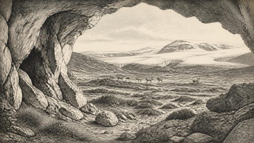
Thirty-thousand years BCE is a modern label, not a recoverable Irish historical year; evidence supports only broad Late Glacial reconstructions. Around 32,000 calibrated years BP, Ireland experienced unstable, severe cooling as the British–Irish Ice Sheet expanded, reshaping coasts, drainage and habitats. Ice-free areas, if present, held sparse tundra and steppe-tundra vegetation supporting varied fauna, documented in cave deposits including Castlepook, Cork. These assemblages include reindeer, hyaena and mammoth but may mix different periods. A possibly cut-marked Castlepook reindeer bone suggests unconfirmed early human visitation, not settlement. Secure Irish human evidence is far later. Caves and landforms preserve vital environmental evidence.
Read Article

Archived: 6 October 2026
Abstract
Around 30,204 BCE, Ireland experienced increasing cold during Marine Isotope Stage 3, before Last Glacial Maximum. Advancing ice, periglacial activity, low sea levels and coastlines created unstable landscapes including open ground and freshwater refuges. Fragmentary evidence from tills, sediments and caves, particularly Castlepook in County Cork, records mammoth, reindeer, giant deer, lemmings, bears, wolves and hyaenas, indicating cold-adapted ecosystems. Derryvree preserves evidence of interstadial wetlands. Cave deposits are disturbed and cannot reconstruct a single moment. No evidence establishes human settlement or activity at this date; disputed modified bone may indicate only a brief visit. Environmental change restricted habitats and fauna.
Read Article
Archived: 6 October 2026
Abstract
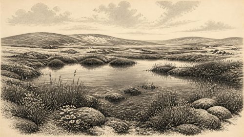
Around 30,208 BCE, Ireland lay within the climatically unstable Late Pleistocene. Derryvree, near Maguiresbridge, preserves organic freshwater sediments between glacial tills, dated broadly to 36,900–31,700 calibrated years before present. Their plants, pollen and insects indicate treeless, periglacial tundra with sedges, mosses, arctic-alpine flora and shallow water. The site confirms ice-free ground in north-central Ireland before later glaciation. Castlepook Cave documents a broader cold-stage fauna, including mammoth, reindeer and predators, but not a single contemporaneous community. A possibly butchered reindeer bone suggests human visits, though permanent settlement remains unproven. Evidence supports environmental change, not political, cultural or economic history at all.
Read Article

Archived: 6 October 2026
Abstract
At 30,211 BCE, Ireland has no identifiable historical event; the date denotes a broad, uncertain Pleistocene interval. Derryvree, County Fermanagh, preserves freshwater silts between glacial tills, dated approximately 36,900–31,700 calendar years before present. Plant, moss and insect remains indicate a cold, open, largely treeless wetland with shallow water and tundra-like vegetation. The deposit records respite between ice advances during Marine Isotope Stage 3, before maximum ice-sheet extent. Castlepook Cave, County Cork, yielded Ice Age fauna and a possibly cut-marked reindeer bone, suggesting but not proving early human visitation. Evidence establishes changing environments and animals, not settlement, institutions, or named people.
Read Article
Archived: 6 October 2026
Abstract
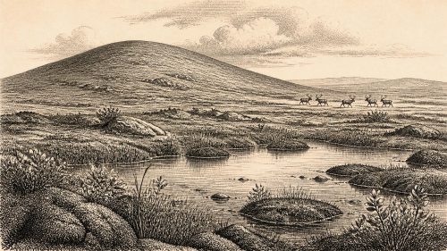
30,215 BCE is a modern chronological label, not a recoverable Irish event. During Late Pleistocene Marine Isotope Stage 3, Ireland experienced unstable varied climates as the British–Irish Ice Sheet advanced and retreated. At Derryvree, County Fermanagh, freshwater sediments between till layers preserve cold-adapted mosses and plants, indicating tundra wetlands before renewed glaciation. Cave remains at Castlepook show mammoth, reindeer and fauna reached Ireland; a possibly cut-marked reindeer bone suggests, but cannot prove, brief human activity. Low sea levels altered routes without ensuring access. No evidence supports settled communities, politics or culture. The record documents changing ice, water, vegetation and habitats.
Read Article

Archived: 6 October 2026
Abstract
30,217 BCE cannot identify a specific Irish event, as radiocarbon dates require calibration and retain broad uncertainty. Derryvree, County Fermanagh, records a cold, treeless wetland between glacial advances during Marine Isotope Stage 3. Ireland likely comprised uneven ice-free ground, wetlands, snowfields and expanding glaciers, while access routes remained uncertain. Castlepook Cave, County Cork, preserves diverse cold-stage fauna, though its disturbed deposits and revised dates demand caution. A modified reindeer femur may indicate exceptionally early human activity, but cannot prove settlement. No evidence supports named communities, political structures or sustained habitation. Ireland’s past is reconstructed from fragmentary environmental and faunal evidence.
Read Article

Archived: 5 October 2026
Abstract
Around 30,219 BCE, Ireland has no recoverable annual history, but Derryvree near Maguiresbridge, County Fermanagh, preserves important environmental evidence. Organic freshwater sediments, radiocarbon dated broadly between about 34,950 and 29,750 BCE, lie between tills, demonstrating a local ice-free interval before renewed glaciation. Plant and insect remains indicate shallow water, wet margins and open, treeless, Arctic-alpine vegetation under severe periglacial conditions. Other sites suggest Ice-Age mammals occupied parts of Ireland, though dates and assemblages require caution. No secure evidence establishes human settlement, society or activity then. Derryvree instead records a temporary cold wetland later buried by advancing ice during later glaciation.
Read Article

Archived: 5 October 2026
Abstract
Thirty thousand years BCE is not a recorded Irish date but a calibrated horizon within the unstable Late Pleistocene. Derryvree, County Fermanagh, preserves freshwater organic sediments between glacial tills, dated by BIRM-166 to a broad interval encompassing 30,227 BCE. Its plants indicate treeless, periglacial wetlands with tundra vegetation, later overridden by ice. The site demonstrates local environmental change, not island-wide conditions or a single event. Cave remains at Castlepook show that varied cold-adapted fauna reached Ireland, although their chronology remains complex. A possibly butchered reindeer bone suggests provisional human presence, but no secure evidence confirms settlement, society, or continuous occupation.
Read Article

Archived: 5 October 2026
Abstract
Around 30,238 BCE, Ireland has no annual human history, only fragmentary Late Pleistocene evidence. At Derryvree, County Fermanagh, freshwater sediments between two glacial tills show that ice retreated or margins shifted long enough for wetlands, vegetation and animals to flourish before renewed glaciation. Radiocarbon dating places this interval broadly around the nominal date, but cannot identify a specific year. Fossils indicate open tundra, saturated ground, pools and harsh seasonal conditions. Cave faunas show reindeer, mammoth and other cold-adapted animals. A modified Castlepook bone suggests fleeting visits, not settlement. Ireland remained environmentally dynamic with changing ice and habitats across the island.
Read Article
Archived: 5 October 2026
Abstract
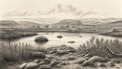
Around 30,239 BCE, Ireland was undergoing climatic instability before extensive Last Glacial Maximum ice growth. Evidence cannot support a calendar-year narrative, but Derryvree’s deposits show cold, open freshwater wetlands with mosses, sedges and dwarf willow between glacial advances. Castlepook Cave preserves a mixed, long-term fauna including mammoth, reindeer, giant deer, bear, wolf, Arctic fox, lemmings and spotted hyaena, demonstrating changing connections with Britain and Europe. A marked reindeer bone may indicate episodic Upper Palaeolithic human activity, but cannot prove settlement or continuity. No evidence exists for agriculture, politics or society; the period is chiefly reconstructed through environmental and faunal remains.
Read Article

Archived: 5 October 2026
Abstract
About 30,242 BCE, Ireland lay within a fluctuating Pleistocene cold landscape, rather than a precisely datable historical moment. Freshwater sediments at Derryvree, County Fermanagh, deposited between glacial advances, show locally ice-free wetland supporting treeless tundra plants, including sedges, mosses, bogbean and mountain avens. Castlepook Cave, County Cork, preserves evidence of diverse mammals, including reindeer, mammoth, giant deer, predators and smaller cold-adapted species, demonstrating intermittent connections with wider Eurasia. A possibly cut-marked reindeer bone suggests rare human visits, but no secure settlements or other human remains exist. Later glaciation repeatedly reshaped landscapes, obscuring this fragile environmental record over subsequent cold millennia.
Read Article

Archived: 5 October 2026
Abstract
Around 30,247 BCE, Ireland cannot be described through annual history or documented society. The Derryvree deposit in County Fermanagh, organic freshwater silts sealed between glacial tills, dates broadly to 36,900–31,700 calibrated years before present. It records locally ice-free, periglacial tundra with pools, wetlands and cold-adapted plants, including bogbean, dwarf willow, mountain avens and lesser clubmoss. Cave finds indicate varied Ice Age fauna, though deposits are not strictly contemporary. No secure evidence establishes human settlement, culture or activity then; disputed clues remain inconclusive. Derryvree instead reveals environmental change before later ice-sheet expansion buried and eroded much of Ireland's older physical landscape.
Read Article

Archived: 5 October 2026
Abstract
About 30,251 BCE, Ireland lay within the climatically unstable later Marine Isotope Stage 3, rather than a precisely recoverable year. Derryvree, County Fermanagh, preserves freshwater sediments between glacial tills, indicating an ice-free interval with open, treeless, wet periglacial vegetation. Castlepook Cave, County Cork, contains a diverse fauna including mammoth, reindeer, giant deer, hyaena and Arctic fox, accumulated across complex periods. A striated reindeer femur may record stone-tool butchery around 33,000 years ago, but disturbed deposits and lack of tools prevent secure proof of human presence. No evidence supports settlement or institutions; environmental change and advancing ice define the period here.
Read Article
Archived: 5 October 2026
Abstract
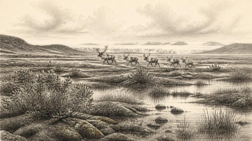
About 30,252 BCE, Ireland lay in the climatically unstable Late Pleistocene, before the Last Glacial Maximum. Ice extent, coastlines and animal routes changed repeatedly, making precise reconstruction impossible. Derryvree, County Fermanagh, preserves wetland sediments indicating treeless, cold freshwater habitats during an ice-free interval, though its radiocarbon age is uncertain. Castlepook Cave, County Cork, yielded diverse fauna, including reindeer, lemmings, mammoth and predators, accumulated over long periods rather than one community. An incised reindeer femur may indicate human butchery around 30,000 BCE, but lacks secure archaeological context. No evidence establishes permanent settlement, society or political life; faunal records remain uncertain overall.
Read Article
Archived: 5 October 2026
Abstract
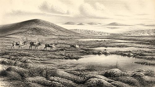
Around 30,254 BCE, Ireland cannot be described through annual events, but through broad Late Pleistocene evidence. Organic silts beneath tills at Derryvree, County Fermanagh, dated approximately 36,900–31,700 cal BP, indicate cold freshwater wetlands, tundra vegetation and insects during an interval of uneven glacial expansion. Castlepook Cave, County Cork, preserves remains of mammoth, reindeer and other cold-adapted fauna, although its deposits span long periods and are disturbed. No secure evidence proves human settlement, economy, politics or culture. A possibly cut reindeer bone suggests only a tentative visit. Ireland was a changing borderland of ice, water, open ground and uncertain access routes.
Read Article
Archived: 5 October 2026
Abstract
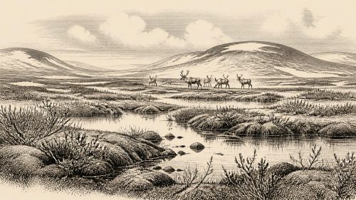
Approximately 30,256 BCE, Ireland experienced a variable Late Pleistocene cold stage, not a datable historical year. At Derryvree near Maguiresbridge, County Fermanagh, sediments between glacial tills record freshwater wetlands, bogbean, mosses and low-growing tundra vegetation, indicating cold, treeless conditions during an interval encompassing this date. Ireland’s environments differed locally: some areas may have been ice-covered or later erased by glaciation. Castlepook Cave, County Cork, preserves diverse pre-Last Glacial Maximum fauna, including mammoth, reindeer and hyaena. Possible butchery marks on a reindeer bone suggest unconfirmed human activity, but no evidence supports settlement or year-specific events or established population anywhere in Ireland.
Read Article
Archived: 5 October 2026
Abstract
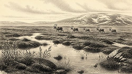
Around 30,261 BCE, Ireland was entering the Late Midlandian glacial expansion, though conditions varied regionally and the island was not yet wholly ice-covered. Lower sea levels altered coasts and possible routes, without guaranteeing easy crossings. Derryvree deposits, older than the nominal date, record freshwater tundra vegetation in an ice-free interior. Castlepook Cave preserves a time-averaged cold-stage fauna, including mammoth, reindeer and predators, but cannot describe one moment. A possibly stone-cut reindeer bone offers tentative evidence of human activity, not settlement. Advancing ice reshaped landscapes and erased evidence, leaving a deep prehistory understood chiefly through environmental archives and cautious scientific interpretation.
Read Article
Archived: 4 October 2026
Abstract
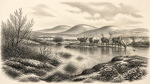
Labelled 30,275 BCE, this interval cannot be tied to a specific Irish event or year. Derryvree, County Fermanagh, preserves freshwater organic deposits between glacial tills, indicating a locally ice-free or ice-margin phase within MIS 3, broadly dated to 34,950–29,750 BCE. Its plants and animals reveal cold, open tundra wetland, not permanent ice cover. Castlepook Cave, County Cork, documents fauna including reindeer, mammoth and giant deer, but not a single contemporaneous community. A butchered reindeer bone suggests human visits, yet no evidence demonstrates settlement. The record instead reveals dynamic, biologically active Ireland, while requiring caution over climate, geography and human activity.
Read Article
Archived: 4 October 2026
Abstract
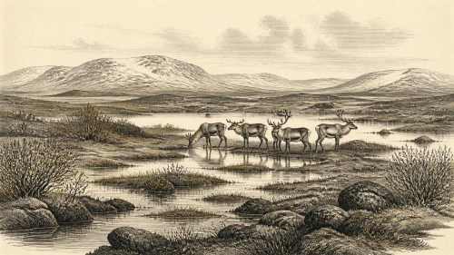
Around 30,276 BCE, Ireland lay within the fluctuating cold conditions of later Marine Isotope Stage 3, before the Last Glacial Maximum. Lower sea levels altered coasts but did not guarantee permanent land connections. At Derryvree, Fermanagh, organic deposits between glacial tills preserve treeless wetlands with sedges, mosses and Arctic-alpine plants, showing intermittent habitable environments. Castlepook Cave, Cork, contains remains of mammoth, reindeer, giant deer, predators and other cold-adapted animals, accumulated over time. A cut-marked reindeer femur may indicate human carcass processing about 33,000 years ago, but cannot prove settlement. Later ice disturbed or buried evidence, leaving an incomplete environmental record.
Read Article
Archived: 4 October 2026
Abstract
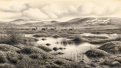
30,282 BCE is a modern label rather than a date recoverable from Irish evidence. During the broader Middle Midlandian, Ireland experienced severe, variable cold, shifting ice and low sea levels before the Last Glacial Maximum. Derryvree, County Fermanagh, preserves an organic freshwater layer between tills, indicating local treeless tundra wetlands with mosses, sedges and cold-adapted plants. Castlepook Cave, County Cork, contains mixed remains of reindeer, mammoth, giant deer, predators and lemmings, but lacks precise single-period context. A modified reindeer femur may indicate brief human handling, although it cannot prove settlement. Later glaciation destroyed evidence, leaving possibilities rather than secure history.
Read Article
Archived: 4 October 2026
Abstract
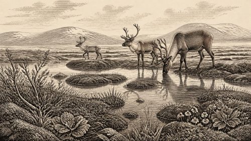
30,302 BCE is best understood as a broad later Pleistocene horizon, not a recoverable historical year. At Derryvree, County Fermanagh, freshwater organic beds between glacial tills preserve tundra wetland plants, including three-leaved bogbean, indicating an ice-free, treeless but biologically active interval. Castlepook Cave, County Cork, contains mixed Marine Isotope Stage 3 fauna, including mammoth, reindeer, hyaena and giant deer, demonstrating varied open habitats. These records reflect unstable pre-Last Glacial Maximum conditions and dynamic ice margins. A cut-marked reindeer bone may indicate fleeting human activity, but no settlement, tools or organised society is securely evidenced. Ireland’s record remains fragmentary and ecological.
Read Article

