Derryvree Climate30443 BCE
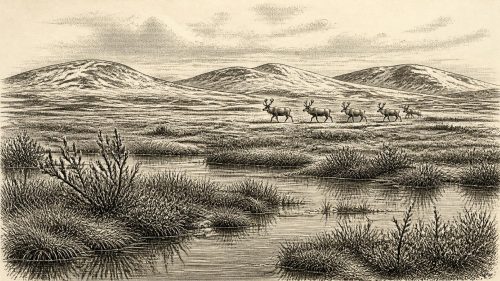
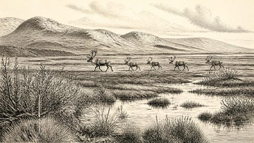
Labelled 30,443 BCE, this period cannot be tied to an exact Irish calendar year, as radiocarbon dates require calibration and retain wide uncertainties. At Derryvree, Fermanagh, freshwater sediments between glacial tills preserve evidence of an ice-free interval: open, treeless tundra, wetland plants, shallow water and short growing seasons. The sequence demonstrates fluctuating ice rather than uniform island-wide conditions. Castlepook Cave, Cork, yielded cold-climate fauna, showing intermittent ecological connections with north-west Europe. A cut-marked reindeer femur may indicate human handling, but cannot prove settlement. Together, these fragmentary records reveal dynamic Ice Age environments while limiting claims about people, society or events.
Dateline
“30,443 BCE” is a useful modern label, not a date that can be recovered from an Irish calendar or matched to a recorded event. At this depth of time, year-by-year precision is unavailable. In the conventional archaeological conversion, the label falls about 32,400 years before AD 1950, but the evidence from Ireland consists of deposits and bones whose ages carry substantial uncertainties and whose radiocarbon ages must not be mistaken for calendar years. The responsible subject is therefore not a happening in one named year, but Ireland during a changing phase of the last Ice Age: a cold, sparsely vegetated landscape where water, ice, animals and perhaps occasional people left faint, very uneven traces.
A Date Without a Chronicle
There were no Irish kingdoms, borders, rulers, treaties or written traditions at this point. Nor can archaeology identify a local community, a language, a religion or a political allegiance. The island’s deep prehistory has to be assembled from environmental evidence: the sediments laid down by water, pollen and seeds from plants, animal bones in caves, and the landforms created or altered by glaciers. These sources are powerful, but each answers different questions. A plant fossil can show that a species grew near a pool; it cannot name its human observers. A bone can establish that an animal reached Ireland; it cannot, by itself, prove a hunt, a settlement or a population.
The main chronological caution is radiocarbon dating. The best-known environmental record relevant to this broad era, from Derryvree near Maguiresbridge in County Fermanagh, produced a conventional radiocarbon measurement of 30,500 years before present, with a large error range. “Before present” conventionally means before 1950, and a radiocarbon age is not automatically a calendar age. Calibration against curves such as IntCal20 is necessary, and for the distant last glacial period a single determination can correspond to a wide span of calendar time. Derryvree should consequently be treated as a dated window on conditions in the earlier last glacial period, not as proof that its wetland existed in precisely 30,443 BCE.
Fresh Water Beneath a Drumlin
Derryvree is important because it preserves a striking sequence beneath the familiar rounded hills of Fermanagh. Road works in 1969 cut through a drumlin around two kilometres north-east of Maguiresbridge. Between two separate layers of till — debris deposited by glacier ice — investigators found freshwater silts, fine sands and organic mud. The deposit had formed during an interval when this locality was not buried beneath advancing ice. Later glacier activity sealed it below another mass of till, preserving a small but exceptional archive of an Ice Age landscape.
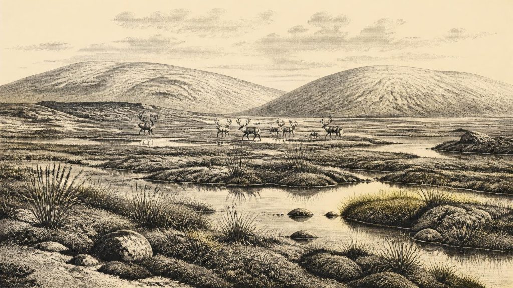
The fossils from these silts indicate a full-glacial, periglacial environment: cold conditions shaped by frost and seasonal thaw, but not a featureless expanse of permanent ice. Herb pollen was poorly preserved, yet the plant macrofossils and moss remains showed that vegetation existed around standing or slow-moving fresh water. The assemblage has been interpreted as open tundra, with sparse dry-ground cover alongside wetter ground capable of supporting a richer local plant community. Fossil evidence for aquatic and wetland plants, including bogbean and water-milfoil, reinforces the point that water persisted in the landscape even in a severe climate.
This is the most concrete everyday world available for Ireland around the broad timespan represented by the nominal year. It was a world of exposed mineral ground, low vegetation, shallow pools, muddy margins and short growing seasons. Mosses and herbs were more archaeologically visible than trees because there is no good evidence for a closed woodland at Derryvree. Scattered grains of tree pollen have to be handled carefully: they may have travelled long distances, been redeposited, or represent vegetation beyond the immediate basin. The secure conclusion is not that Fermanagh was wholly lifeless or uniformly frozen, but that it supported an open cold-climate mosaic unlike the wooded Ireland of recent millennia.
Ice Was Advancing, Retreating and Returning
Ireland stood within the wider climatic system of the North Atlantic and the British–Irish Ice Sheet. This was not yet the best-known maximum of the last glaciation, generally dated to roughly 26,000–19,000 years ago, when ice covered much of the island. Instead, the period relevant to Derryvree belonged to a longer and more unstable build-up towards that maximum. Research on the British–Irish Ice Sheet shows that its history included earlier growth, retreat–advance cycles and regional differences. A place may have been ice-free while another sector of the island, or the adjoining seas, was influenced by glacier ice.
The two tills at Derryvree are the physical expression of that instability. The lower till records an earlier ice presence; the freshwater deposit records an intervening ice-free episode; and the upper till marks renewed glacial occupation. It would be misleading to turn this sequence into a neat national timetable. One Fermanagh road-cut cannot map conditions across all Ireland. Nevertheless, it decisively demonstrates that the island’s glacial history was episodic and that habitable-looking patches of tundra and wetland could occur between phases of ice cover.
Sea levels were lower globally because enormous quantities of water were stored as ice. Ireland’s coastlines and neighbouring channels were therefore unlike those of today, while ice, changing sea levels and the shape of the continental shelf continually affected possible routes for animals. That does not mean there was a simple, permanent land bridge readily available to people or herds. Routes could be interrupted by water, ice margins, rivers, marshes and exposed but inhospitable terrain. Regional change mattered more than any modern outline on a map.
Caves and Cold-Climate Fauna
County Cork’s Castlepook Cave, also known as Mammoth Cave near Doneraile, provides a complementary record. Its historic excavations produced remains attributed to a diverse late-Pleistocene fauna, including reindeer, woolly mammoth, brown bear, hare, fox, wolf and spotted hyaena. The Irish Quaternary Fauna Project showed that a wider range of mammals reached Ireland between at least about 45,000 and 20,000 years ago than survived into later times. These cave collections matter because they demonstrate that, during suitable windows of the Ice Age, Ireland was part of a broader north-west European animal world rather than an empty, isolated landmass.
Yet cave bones need careful interpretation. A cave is not automatically a human camp or a snapshot of one landscape. Carnivores may drag prey inside; animals can die in fissures; flowing water can move material; and early excavators often worked before modern methods of recording layers, locations and associations were established. Bones collected decades apart may have originated in deposits of very different ages. Modern re-dating and renewed excavation are therefore essential, not optional, if the changing fauna of Ice Age Ireland is to be understood.
The Reindeer Femur Question
Castlepook has become central to the question of Ireland’s earliest possible human presence because a reindeer femur from the old collection has been reported as roughly 33,000 radiocarbon years old and as carrying a deep incision. Zooarchaeologist Ruth Carden has interpreted the mark as damage made by a sharp stone tool while fresh bone was being processed. If that diagnosis is confirmed, it would be remarkable evidence that a person handled a reindeer in Ireland long before the terminal-Pleistocene hunter-gatherer evidence more securely documented elsewhere on the island.
The necessary qualification is substantial. The age is the age of the animal bone, expressed as a radiocarbon result rather than an exact calendar year. The cut-mark interpretation is a separate taphonomic judgement, requiring comparison with damage caused by stone tools, teeth, trampling, excavation and other natural processes. Above all, one marked limb does not demonstrate that people lived at Castlepook, hunted the reindeer, travelled there in large numbers, or returned regularly. It could indicate a brief visit, scavenging, butchery away from a campsite, or an as-yet unrecognised wider pattern. Continued work at the cave seeks securely stratified deposits, further modified bone, stone artefacts, charcoal and stronger chronological context.
Society Beyond Recovery
It is tempting to populate this landscape with named Upper Palaeolithic cultures known from continental Europe. That would go beyond the Irish evidence. People elsewhere in Europe were making sophisticated stone tools, ornaments and art, but none of those practices can responsibly be assigned to Ireland around this date without Irish finds. There is no securely identified dwelling, hearth, tool assemblage, burial, artwork, shrine or cemetery from the island that can describe social organisation here. There is likewise no evidence for trade, diplomacy, warfare or formal political authority.
If the Castlepook incision proves human-made, the most that can safely be said is that a person or small group had the knowledge and equipment to cut animal tissue or bone with a sharp implement. That implies practical skill, mobility and access to a wider human world beyond the island, but not a settled population. Food, shelter, kinship, belief and learning remain invisible in the Irish record for this particular interval. Their absence from the evidence is not evidence that people lacked culture; it is a limit on what archaeology can recover.
An Irish Landscape in Formation
The historical importance of this distant moment lies in its scale. Derryvree records a wet, treeless tundra landscape preserved between advances of ice. Castlepook records animals moving through, living in or dying within a changing Irish environment, and perhaps a human action whose interpretation is still being tested. Together they replace the outdated image of an Ice Age Ireland that was always either wholly ice-covered or wholly empty. The island was environmentally dynamic, regionally varied and intermittently connected to wider ecological systems.
For 30,443 BCE, then, the honest annual overview is necessarily a calibrated horizon rather than a narrative of events. Fermanagh’s freshwater mud and Cork’s cave bone are not small details standing in for a lost chronicle: they are the primary archive. They tell of tundra vegetation, cold waters, shifting ice and large mammals; they also define the boundary between evidence and imagination. That boundary is what makes this earliest chapter of Irish history both frustrating and compelling.
Source References
Hover over a number to see the source. Select it to open the source.

- [1] Middle Midlandian Freshwater Series at Derryvree, Maguiresbridge, County Fermanagh, Northern Ireland
- [2] Middle Midlandian Freshwater Series at Derryvree, Maguiresbridge, County Fermanagh, Northern Ireland
- [3] The Irish Quaternary Fauna Project
- [4] The Irish Quaternary Fauna Project
- [5] New Insights on the Fauna of Ireland’s Younger Dryas and Early Holocene from Alice & Gwendoline Cave
- [6] Pleistocene Glaciations in Ireland
- [7] Last Glacial Maximum Cirque Glaciation in Ireland and Implications for Reconstructions of the Irish Ice Sheet
- [8] Pattern and Timing of Retreat of the Last British-Irish Ice Sheet
- [9] Growth, Dynamics and Deglaciation of the Last British-Irish Ice Sheet: The Deep-Sea Ice-Rafted Detritus Record
- [10] The Timing and Magnitude of the British–Irish Ice Sheet Between Marine Isotope Stages 5d and 2: Implications for Glacio-Isostatic Adjustment, High Relative Sea Levels and ‘Giant Erratic’ Emplacement
- [11] Maximum Extent and Readvance Dynamics of the Irish Sea Ice Stream and Irish Sea Glacier Since the Last Glacial Maximum
- [12] Radiocarbon Constraints on the Age of the Maximum Advance of the British–Irish Ice Sheet in the Celtic Sea
- [13] Stratigraphic and Palaeo-Geomorphological Evidence for the Glacial-Deglacial History of the Last British-Irish Ice Sheet in the North-Western Irish Sea
- [14] Exploring Controls of the Early and Stepped Deglaciation on the Western Margin of the British-Irish Ice Sheet
- [15] The IntCal20 Northern Hemisphere Radiocarbon Age Calibration Curve (0–55 cal kBP)
- [16] Radiocarbon Dating and Chronological Modelling
- [17] Palaeoecology
- [18] Introduction to the Late Quaternary and Holocene of Northern Ireland
- [19] Heritage Artefacts of County Cork
- [20] Archaeology Research Excavation Grant 2022: Final Report
- [21] Lateglacial Vegetation and Environment in Ireland: First Results from Four Western Sites
- [22] Lateglacial and Early Holocene Palaeoenvironmental ‘Events’ in Sluggan Bog, Northern Ireland
Primary Sources
- Middle Midlandian Freshwater Series at Derryvree, Maguiresbridge, County Fermanagh, Northern Ireland
- Middle Midlandian Freshwater Series at Derryvree, Maguiresbridge, County Fermanagh, Northern Ireland
- The Irish Quaternary Fauna Project
- The Irish Quaternary Fauna Project
- New Insights on the Fauna of Ireland’s Younger Dryas and Early Holocene from Alice & Gwendoline Cave
- Pleistocene Glaciations in Ireland
- Last Glacial Maximum Cirque Glaciation in Ireland and Implications for Reconstructions of the Irish Ice Sheet
- Pattern and Timing of Retreat of the Last British-Irish Ice Sheet
- Growth, Dynamics and Deglaciation of the Last British-Irish Ice Sheet: The Deep-Sea Ice-Rafted Detritus Record
- The Timing and Magnitude of the British–Irish Ice Sheet Between Marine Isotope Stages 5d and 2: Implications for Glacio-Isostatic Adjustment, High Relative Sea Levels and ‘Giant Erratic’ Emplacement
- Maximum Extent and Readvance Dynamics of the Irish Sea Ice Stream and Irish Sea Glacier Since the Last Glacial Maximum
- Radiocarbon Constraints on the Age of the Maximum Advance of the British–Irish Ice Sheet in the Celtic Sea
- Stratigraphic and Palaeo-Geomorphological Evidence for the Glacial-Deglacial History of the Last British-Irish Ice Sheet in the North-Western Irish Sea
- Exploring Controls of the Early and Stepped Deglaciation on the Western Margin of the British-Irish Ice Sheet
- The IntCal20 Northern Hemisphere Radiocarbon Age Calibration Curve (0–55 cal kBP)
- Radiocarbon Dating and Chronological Modelling
- Palaeoecology
- Introduction to the Late Quaternary and Holocene of Northern Ireland
- Heritage Artefacts of County Cork
- Archaeology Research Excavation Grant 2022: Final Report
- Lateglacial Vegetation and Environment in Ireland: First Results from Four Western Sites
- Lateglacial and Early Holocene Palaeoenvironmental ‘Events’ in Sluggan Bog, Northern Ireland