Castlepook’s Vanishing Reindeer31280 BCE
Around 33,200 calibrated years before present, Ireland lay within the climatically unstable Late Pleistocene, although no evidence can identify conditions in 31,280 BCE precisely. Ice sheets, sea levels and coastlines changed unevenly, while later glaciation destroyed much terrestrial evidence. Castlepook Cave in County Cork preserves Ireland’s richest relevant fauna, including mammoth, giant deer, reindeer, bear and hyena, accumulated across extended periods rather than a single moment. Redating places some remains in MIS 3, supporting intermittent animal occupation. A reportedly cut-marked reindeer bone may indicate human visitation, but remains contested and cannot demonstrate settlement. Evidence remains fragmentary, not an annual narrative.
Dateline
A numbered year such as 31,280 BCE offers a useful point on a modern timeline, but it cannot describe a dated Irish event. No written calendar existed, and no archaeological deposit in Ireland can be assigned responsibly to that single year. In calendar terms it lies roughly 33,230 years before AD 1950, conventionally expressed as about 33.2 thousand calibrated years before present (cal BP). Even that conversion is approximate: radiocarbon ages require calibration, calibration ranges widen at this depth of time, and deposits may record intervals rather than moments. The sound historical question is therefore not ‘what happened in Ireland that year?’ but what evidence illuminates Ireland in the surrounding millennia.
A Late Pleistocene Threshold
This was the Late Pleistocene, within the later part of Marine Isotope Stage 3 (MIS 3), a long glacial phase distinguished not by unbroken cold but by abrupt climatic swings. Greenland ice cores provide the best-dated North Atlantic sequence, showing repeated transitions between colder stadials and relatively milder interstadials over centuries or millennia. Ireland was closely exposed to those Atlantic changes, yet its own terrestrial archive is sparse, discontinuous and repeatedly disturbed by later ice. It would be unsafe to identify conditions in one Irish valley, let alone across the island, for 31,280 BCE itself.
The global Last Glacial Maximum still lay ahead. It is normally placed at about 26.5–19 thousand years ago, while the British–Irish Ice Sheet reached maximum extent at different times in different sectors. Recent reconstructions show growth, advance and retreat were asynchronous, not a single simultaneous freezing-over. Around 33.2 cal ka BP, the island belonged to a changing glacial world in which ice had already existed and expanded in earlier phases, but the fullest late-glacial configuration had not yet been achieved. This distinction matters. The familiar image of all Ireland buried beneath an LGM ice sheet should not automatically be projected backwards several thousand years.
Ice, Sea and Uneven Ground
The physical Ireland of this period cannot be reconstructed as a fixed map. Research on raised beaches along the south coast, including at Fethard in County Wexford, has produced optically stimulated luminescence dates broadly within MIS 4–3 rather than a much older interglacial. Those deposits, together with evidence of glacial loading and ice-rafted debris in Atlantic cores, indicate that large ice masses affected the region before the later maximum. A recent review argues for dynamic advance–retreat phases during MIS 3. It also stresses the limits of the evidence: no directly dated Irish till establishes precisely where the ice margin stood at 33.2 cal ka BP.
Accordingly, one interpretation is that substantial Irish-centred ice may have occupied parts of the island and adjacent seas during colder phases, while other areas remained exposed at other times. This is an interpretation from landforms, sediments, sea-level indicators and regional comparisons, not an observed landscape. Whether any particular southern lowland was open tundra, glacier margin, cold coastline or temporarily inaccessible terrain depends on the timing of advances that current evidence cannot resolve to a calendar year.
Sea level was lower globally than today because more water was locked in land ice. Yet local relative sea level did not simply follow the global figure. The weight of ice depressed the Earth’s crust, so portions of the Irish coast could experience relative sea levels shaped by glacio-isostatic adjustment as well as ocean volume. The Irish Sea was therefore not a simple dry corridor on which people and animals could be assumed to have walked. Routes between Ireland, Britain and the continental shelf changed with ice, water, shorelines and seasonal conditions. Faunal movement proves that crossings occurred in suitable periods; it does not reveal the exact route or season.
Castlepook Cave’s Faunal Archive
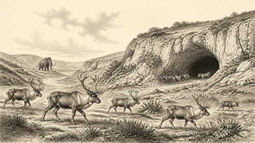
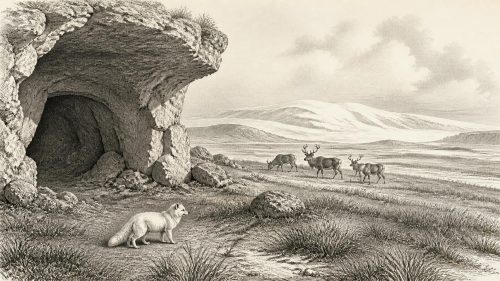
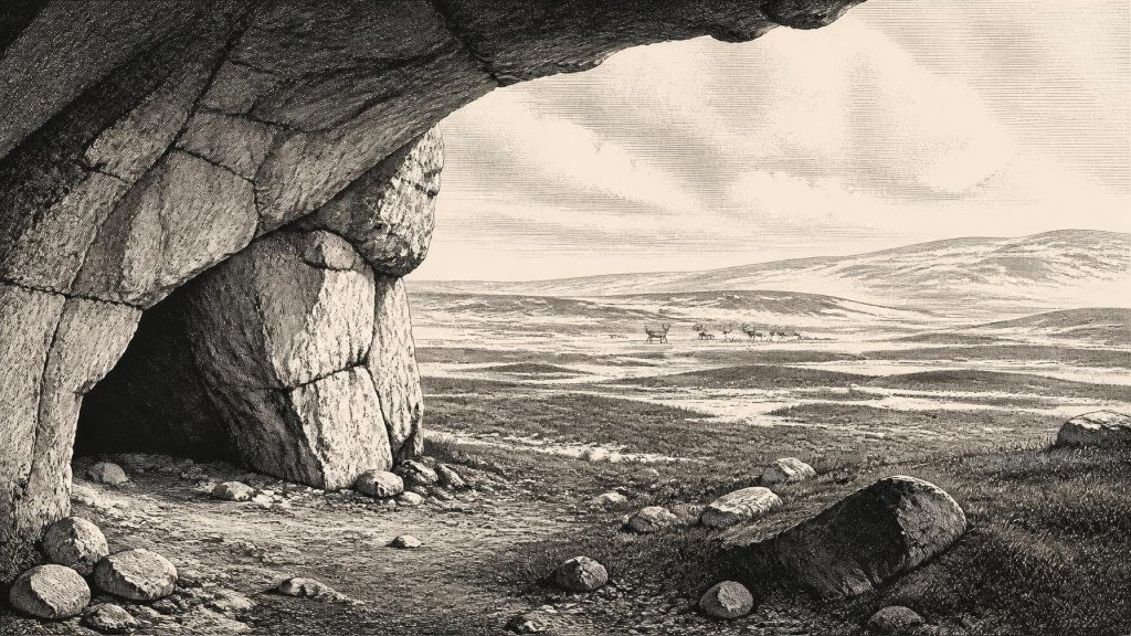
The most important directly Irish evidence for this broad interval comes from Castlepook Cave, also known as Mammoth Cave, near Doneraile in north County Cork. Excavations conducted in the early twentieth century recovered a remarkable concentration of animal remains, now principally associated with the National Museum of Ireland. The cave is Ireland’s richest known vertebrate archive for the period leading towards the Last Glacial Maximum. Its documented fauna includes woolly mammoth, giant deer, reindeer, brown bear and spotted hyena; later cave deposits preserve a different cold-adapted set including lemmings, Arctic fox and wolf.
Those bones do not mean that all these animals lived together at one instant, nor that every species belongs near 31,280 BCE. Caves accumulate material over long spans. Hyenas can carry carcass parts into dens; flowing water can rework sediment and bone; nineteenth- and early twentieth-century excavation methods did not create the fine-grained stratigraphic records expected today. Castlepook’s original excavators recognised a complicated sequence of chambers and deposits, but later reassessment has underlined how difficult it is to match individual fossils to a single episode.
Modern radiocarbon redating has nonetheless transformed its importance. It indicates that some Castlepook fauna belongs to MIS 3, substantially earlier than earlier determinations suggested. In broad terms, spotted hyenas and other mammals reached Ireland during a period roughly between 45,000 and 30,000 years ago. This makes a reindeer, mammoth and predator landscape historically plausible in the wider interval around the requested date. It does not establish a herd, a hyena clan or a particular mammoth beside Castlepook in 31,280 BCE. The responsible picture is of intermittent animal populations exploiting an environmentally variable Ireland.
People: A Possible, Not Settled, Presence
There is a tantalising claim of human activity at Castlepook: a reindeer femur reportedly bearing marks interpreted as made by a stone tool, associated in public reporting with an age of about 33,000 years. If that interpretation is sustained by full publication, direct dating and contextual study, it would be exceptionally important: it would indicate a human presence in Ireland tens of millennia before the well-known post-glacial settlement record. At present, however, it cannot support a detailed story of a named community, camp or hunt in this specific year.
No securely associated hearth, stone-tool assemblage, dwelling floor, human burial, art panel or food-processing area of this age has been recovered from Castlepook. Nor can a single modified bone demonstrate permanent occupation. The safest inference is modest: people may have reached Ireland during a favourable MIS 3 interval and processed a reindeer, but the duration, frequency, size and origin of any visiting group remain unknown. They may have been highly mobile Upper Palaeolithic hunter-gatherers operating across a larger north-west European landscape; that is a reasonable comparison, not evidence for an Irish population.
The contrast with later evidence is instructive. A cut-marked brown-bear bone from Alice and Gwendoline Cave in County Clare has independently calibrated dates of about 12,810–12,590 cal BP, while the early Mesolithic camp at Mount Sandel was occupied much later, about 10,290–9,790 cal BP. These finds demonstrate separate episodes after the Last Glacial Maximum, not continuity from any MIS 3 visitors. Ireland’s earliest securely documented sustained settlement belongs to the post-glacial world, not to the time of Castlepook’s older fauna.
Daily Life Without a Society
Because the human evidence is so slight, political affairs, diplomacy, leadership, war and formal religion are beyond recovery. There are no settlements from which to infer territorial authority, no weapons assemblages from which to identify conflict, and no monuments or burials that could illuminate ceremonial life. It would be misleading to fill this silence with generic ‘cave people’, clans, shamans or tribal warfare. A cave holding animal bones is not itself evidence that humans lived in it, and Castlepook’s hyena remains make a non-human use of the cave especially important.
What can be discussed is subsistence as a conditional possibility. Reindeer, giant deer and mammoth would have been substantial sources of meat, fat, hide, sinew, bone and antler for any people able to obtain carcasses. But the evidence cannot distinguish hunting from scavenging, occasional butchery from repeated visits, or local acquisition from carcasses moved by carnivores. There is no demonstrable trade network, farming, pottery, metalworking or exchange economy. If humans were present, their economy was almost certainly based on immediate access to wild resources and extreme mobility, but even this describes an inferred adaptation rather than an excavated Irish household.
A Landscape Preserved in Fragments
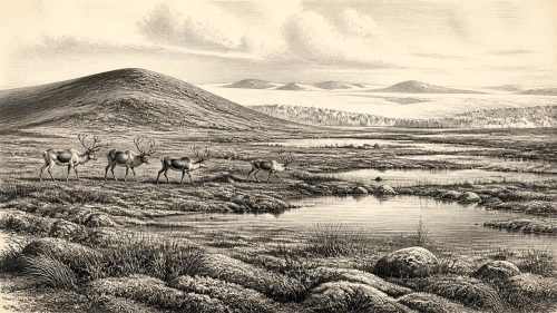
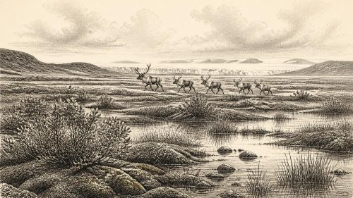
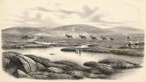
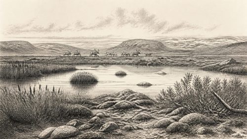
Climate, vegetation and animal life form the real history of Ireland around this date. Open, cold environments were capable of supporting grazing mammals, and the cave fauna confirms that Ireland was not biologically empty throughout the wider MIS 3 interval. Yet ‘mammoth steppe’ should be used carefully. It is a useful broad comparison for treeless, herb-rich and grass-rich Pleistocene settings, not a complete map of Ireland. Wet ground, exposed limestone, river valleys, snow patches, ice margins and coastal terrain would have created local mosaics. Vegetation records elsewhere on the island, where they survive between or beneath glacial deposits, demonstrate that such archives can preserve freshwater and tundra plants, but their dates do not supply a countrywide annual weather report.
Later glacial erosion is a central reason for the silence. Ice advanced across much of Ireland after this period, stripping soils, deforming sediment and burying earlier surfaces beneath till. Caves, protected sediment pockets, offshore cores and raised beaches thus carry disproportionate weight. They are not merely supporting evidence for a lost written story; they are the story. Bones record animals, tool-like marks raise a question about people, sediments reveal water and ice, and dating methods establish ranges rather than anniversaries.
For 31,280 BCE, Ireland is best understood as a place at the edge of an unstable North Atlantic glacial system: environmentally severe but not necessarily uniformly ice-covered; occupied at least intermittently by large mammals; and perhaps visited by people whose trace is still no more than a contested bone. The great value of Castlepook is not that it supplies a confident narrative of the year. Its value is that it makes clear how much deep Irish history survives—and how carefully it must be read.
Primary Sources
- A reconsideration of the radiocarbon dating of the Marine Isotope Stage 3 fauna from southern Ireland
- Castlepook Cave, County Cork: County Geological Site Report
- Spotted Hyena Skull
- The exploration of Castlepook Cave, Co. Cork. With 3 plates.
- First evidence of a Late Upper Palaeolithic human presence in Ireland
- The colonization of Ireland: A human ecology perspective
- Growth and retreat of the last British–Irish Ice Sheet, 31,000 to 15,000 years ago: the BRITICE-CHRONO reconstruction
- The timing and magnitude of the British–Irish Ice Sheet between Marine Isotope Stages 5d and 2: implications for glacio-isostatic adjustment, high relative sea levels and ‘giant erratic’ emplacement
- Timing and pace of ice-sheet withdrawal across the marine–terrestrial transition west of Ireland during the last glaciation
- Advance and retreat of the marine-terminating Irish Sea Ice Stream into the Celtic Sea during the Last Glacial: Timing and maximum extent
- Late Pleistocene chronostratigraphy and ice sheet limits, southern Ireland
- A Marine Isotope Stage 4 age for Pleistocene raised beach deposits near Fethard, southern Ireland
- Dimensions and chronology of the last ice sheet in Western Ireland
- Last Glacial Maximum cirque glaciation in Ireland and implications for reconstructions of the Irish Ice Sheet
- Deglaciation chronology of the Donegal Ice Centre, north-west Ireland
- Pattern and timing of retreat of the last British–Irish Ice Sheet
- A stratigraphic framework for abrupt climatic changes during the Last Glacial period based on three synchronized Greenland ice-core records: refining and extending the INTIMATE event stratigraphy
- The IntCal20 Northern Hemisphere radiocarbon age calibration curve (0–55 cal kBP)
- Fast and slow components of interstadial warming in the North Atlantic during the last glacial
- Dansgaard–Oeschger events in climate models: review and baseline Marine Isotope Stage 3 protocol