Castlepook’s Human Question31279 BCE
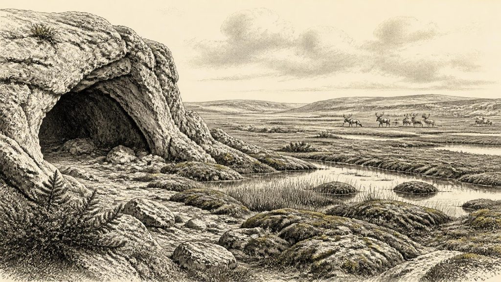
31,279 BCE is a modern chronological label, not an identifiable Irish historical year. During Marine Isotope Stage 3, Ireland experienced severe, fluctuating glacial conditions, altered coastlines and open tundra-wetland habitats. Derryvree, County Fermanagh, preserves organic sediments indicating mosses, grasses, sedges, herbs, juniper, pools and cold-phase biodiversity between glacial advances. Castlepook Cave, County Cork, accumulated fauna over millennia, including mammoth, giant deer, reindeer and hyaena, shaped by carnivore activity and disturbance. A marked reindeer femur, tentatively interpreted as stone-tool butchery, may indicate human presence, but proves neither settlement nor society. The evidence reveals ecological opportunity, climatic instability and uncertain human visitation.
Dateline
A Date Without Annals
“31,279 BCE” is a useful modern label, not a date that can be matched to an Irish event. No calendar, written record, named people, political community or continuous archaeological sequence allows historians to isolate one year so deep in the Late Pleistocene. In archaeological terms, the label falls roughly 33,200 years before AD 1950, during Marine Isotope Stage 3, well before the fullest expansion of the last British–Irish Ice Sheet. At this depth of time, even radiocarbon results carry uncertainties, and converting them into calendar years requires calibration against changing atmospheric carbon. The responsible picture is therefore one of overlapping ranges, not a historical anniversary.
For Ireland, the nearest evidence comes from a small number of difficult deposits: cave faunas in the south and organic sediments sealed beneath later glacial deposits in the north. They illuminate climate, plants and animals far better than they illuminate human lives. The island was not the familiar green, wooded Ireland of later millennia. It was part of a changing north-west European ice-age world, alternately accessible or isolated according to sea level, ice margins and local geography. Any suggestion that people were present must remain carefully qualified.
An Island in a Cold Phase
The period belonged to the Midlandian glaciation, Ireland’s name for the last glacial cycle. It was not yet the Last Glacial Maximum, generally placed later, but ice sheets and glaciers were growing and the climate was severe by modern standards. Greenland ice-core records show that the wider North Atlantic climate could alter abruptly between colder stadial and relatively milder interstadial conditions. Such shifts need not have been felt uniformly in Ireland, and they cannot be translated mechanically into a local weather report for 31,279 BCE. They do, however, explain why the Irish evidence records a restless rather than a static landscape.
At this stage, much of the modern coastline was profoundly different. Global sea level was lower than today because water was stored in northern ice sheets, exposing areas now beneath the surrounding seas. Yet low sea level alone does not prove that a simple, reliable land bridge joined Ireland to Britain or the Continent at this particular moment. Channels, ice, rivers, marshes and changing relative sea levels all mattered. Animals clearly reached Ireland during the Middle Midlandian, but the precise routes and seasons of movement remain matters for reconstruction rather than direct observation.
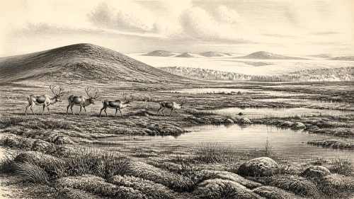
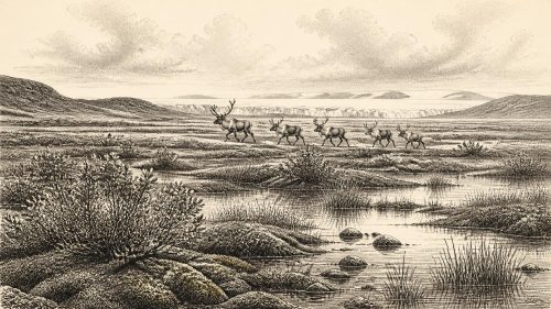
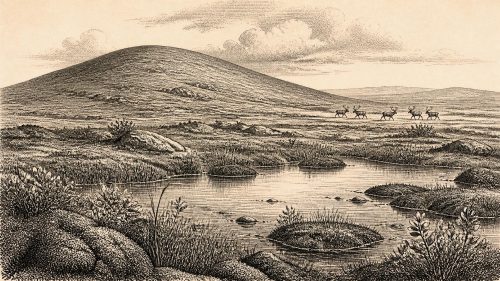
Nor should “ice age” be imagined as a uniform white wilderness. The evidence points to regional contrasts: exposed uplands, wind-scoured mineral ground, grass- and herb-rich patches, wet hollows and freshwater pools, with advancing ice affecting some areas much more directly than others. Sparse vegetation and cold conditions restricted tree growth. A treeless terrain could nevertheless sustain grazing animals, predators and scavengers, especially where summer productivity supported grasses, sedges and herbs. Ireland’s position on the Atlantic edge made its environments particularly sensitive to changing ice, moisture and temperature.
Derryvree’s Wetland Record
The clearest environmental window is at Derryvree near Maguiresbridge, County Fermanagh. There, organic silts and fine sediments lay between two bodies of glacial till in a road-cut through a drumlin. This stratigraphic position is important: it records an interval when freshwater sediment and vegetation accumulated before later ice or ice-derived material sealed the deposit. The conventional radiocarbon determination BIRM-166, obtained from the organic material, was 30,500 ± 1,100 radiocarbon years BP. One published comparison gives a calibrated estimate of about 35.9 ± 1.1 thousand calendar years BP. That range is older than the numbered year under discussion, but it provides indispensable evidence for the kind of cold-phase Irish environment from which this later point cannot be neatly separated.
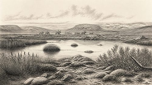
Plant macrofossils, pollen and insects from Derryvree indicate open tundra or muskeg: a wet, mossy, largely treeless setting with shallow pools and saturated ground. Grasses and sedges were prominent, alongside herbs and low shrubs including juniper. Finds reported from the deposit include bogbean and mountain-avens, plants whose presence speaks to cold freshwater margins and open ground rather than forest. These remains are evidence for organisms living locally or close by; they are not a complete inventory of every plant on the island. Pollen can travel, be reworked and be unevenly preserved, while a single road-cut samples only one landscape pocket.
Still, the combined evidence is powerful. Derryvree shows that Irish ground between glacial episodes could support a mosaic of wetland and tundra vegetation. It also corrects any assumption that the island was continuously buried beneath ice throughout the entire last glacial cycle. Its cold freshwater world was biologically active: mosses held wet ground together, aquatic plants occupied pools, and insects responded to seasonal warmth as well as hard winters. Such places were not merely empty spaces between ice advances; they were habitats, though harsh and likely fragile ones.
Castlepook and the Faunal Frontier
In north County Cork, Castlepook Cave near Doneraile offers a different archive. The limestone cave system, long known as Mammoth Cave, yielded more than 2,000 animal bones during excavations between 1904 and 1918. Its galleries acquired vivid names such as Hyenahall and Elephant Hall, reflecting the extraordinary finds recovered from them. Radiocarbon determinations on individual bones span a long interval, approximately 45,700 to 19,950 years BP. The cave was therefore a repository assembled over many millennia, not a single sealed moment or a straightforward snapshot of one herd, one hunt or one season.
Its fauna nevertheless establishes that Ireland supported, or was visited by, an impressive Pleistocene animal community before the Last Glacial Maximum. Woolly mammoth, giant deer, reindeer, brown bear and spotted hyaena are represented, while Arctic fox, wolf, mountain hare and lemmings appear in the wider cave record. These species did not necessarily coexist in precisely the combinations suggested by a museum display: revised dating has shown that several older determinations from Irish caves were substantially too young because of limitations in earlier bone pretreatment. The strongest conclusion is that mammals moved through Ireland at different points during Marine Isotope Stage 3, responding to shifting habitats and connections across the north-west European region.
Predators and scavengers were central to how this archive formed. Spotted hyaenas almost certainly used Castlepook as a den or feeding place, carrying in bones and modifying them. Water movement, collapse, later disturbance and early excavation methods further complicate the deposits. These processes matter because they prevent a simple equation between a bone’s findspot and the place where an animal died. Castlepook is exceptionally valuable, but its very richness demands caution: it preserves a long story of carnivore behaviour, animal mortality and sediment movement.
The Marked Reindeer Femur
The most consequential object associated broadly with this period is a reindeer femur from Castlepook. County Cork’s heritage publication assigns it to about 31,000 BC and records a deep linear mark interpreted by the palaeozoologist Ruth Carden as having been made by a sharp stone tool during carcass processing. If that interpretation is confirmed, it would be a remarkable indication that a person handled reindeer in Ireland far earlier than the island’s previously accepted terminal-Pleistocene human evidence. It would make the bone an important, but still very limited, trace of possible Upper Palaeolithic activity.
What it does not establish is equally important. The femur is not a house floor, hearth, burial, tool assemblage or repeatedly occupied camp. No stone tool securely associated with the bone has been recovered, nor is there evidence for a permanent population, a named group or continuous settlement at Castlepook. A radiocarbon result dates the animal’s death within a probability range; it does not date a surface incision to an exact year. Whether the mark is a human cut, and whether it reflects a brief visit, hunting, scavenging or another episode of processing, are questions that require microscopic study and secure contextual evidence.
Society Beyond Recovery
Consequently, political affairs, diplomacy, organised warfare, religion, language, learning and trade cannot responsibly be described for Ireland in 31,279 BCE. There are no Irish monuments, art objects, burials, settlements or ritual deposits of secure date from which to infer them. Nor can the social arrangements of Upper Palaeolithic communities elsewhere in Europe simply be transplanted to Cork or Fermanagh. If people did reach Ireland, they may have travelled in very small, mobile groups whose material traces were vulnerable to later glaciation, erosion and rising seas. That is a possibility, not a demonstrated population history.
Economy, in the narrow sense available here, belongs chiefly to wild ecology. Reindeer would have offered meat, hide, sinew, bone and antler to hunters capable of exploiting them, while large herbivores and carnivores reveal an open food web. But the Irish evidence does not yet show which resources people used, where they camped, whether they crossed water, or whether any exchange linked them to communities in Britain or continental Europe. The cave fauna demonstrates opportunity and habitat; the marked femur, if accepted, may demonstrate one human act. The distance between those propositions is substantial.
What This Moment Means
Around the modern label 31,279 BCE, Ireland’s history is best approached through its surviving natural archives. Derryvree records cold wetland life during a pre-maximum glacial interval; Castlepook records a long-lived faunal frontier in which mammoths, reindeer and hyaenas left bones in a limestone maze. Together they show an Ireland that was neither timelessly frozen nor securely settled: an exposed, changing country capable of sustaining specialised animals and perhaps visited by people at the outer edge of Upper Palaeolithic Europe.
The outstanding task is not to convert a suggestive bone mark into an unwarranted origin story. It is to preserve caves and sediment sequences, re-examine old collections with modern dating and taphonomic methods, and seek undisturbed deposits. New work at Castlepook has demonstrated that the cave still has research potential. For now, the most accurate year-by-year conclusion is restrained but compelling: this was a period of ecological possibility, severe climatic change and a tantalising question about the earliest human presence in Ireland.
Primary Sources
- A reconsideration of the radiocarbon dating of the Marine Isotope Stage 3 fauna from southern Ireland
- The Irish Quaternary Fauna Project
- Castlepook Cave, County Cork Geological Site Report
- Heritage Artefacts of County Cork
- Figure 6.— The Subdivision of the Quaternary Period in Ireland
- Irish Pleistocene Biostratigraphy
- Exploring controls of the early and stepped deglaciation of the last British–Irish Ice Sheet
- Growth and retreat of the last British–Irish Ice Sheet, 31,000 to 15,000 years ago: the BRITICE-CHRONO reconstruction
- Pattern and timing of retreat of the last British-Irish Ice Sheet
- Dimensions and chronology of the last ice sheet in Western Ireland
- Radiocarbon constraints on the age of the maximum advance of the British-Irish Ice Sheet in the Celtic Sea
- Advance and retreat of the marine-terminating Irish Sea Ice Stream into the Celtic Sea during the Last Glacial: Timing and maximum extent
- The evolution of the terrestrial-terminating Irish Sea glacier during the last glaciation
- New data for the Last Glacial Maximum in Great Britain and Ireland
- The problem of a late quaternary landbridge between Britain and Ireland
- Deglaciation, Earth crustal behaviour and sea-level changes in the determination of insularity: A perspective from Ireland
- The Island of Ireland: Drowning the Myth of an Irish Land-Bridge?
- A stratigraphic framework for abrupt climatic changes during the Last Glacial period based on three synchronized Greenland ice-core records
- BSBI: Menyanthes trifoliata
- BSBI: Dryas octopetala
- New Insights on the Fauna of Ireland's Younger Dryas and Early Holocene from Alice & Gwendoline Cave
- 2022:564 – Castlepook Cave, Castlepook South, Cork
- Radiocarbon Dates from the Oxford AMS System: Archaeometry Datelist 31
- Reindeer bone found in Cork cave shows human activity in Ireland 33,000 years ago