Derryvree Wetland30717 BCE
Around 30,717 BCE, Ireland’s history can be reconstructed only as a broad Late Pleistocene environmental interval, not a dated event. Buried freshwater sediments at Derryvree, County Fermanagh, formed between glacial advances and indicate a locally ice-free, treeless periglacial wetland of pools, mosses, sedges, herbs, insects and severe seasonal conditions. Cave deposits in southern Ireland preserve MIS 3 fauna including mammoth, reindeer, giant deer, bears, wolves and hyaenas, though their dates and associations require caution. A possibly butchered reindeer bone suggests an early human visit, but no settlement is proven. Subsequent ice-sheet expansion reshaped and obscured these landscapes across much Ireland.
Dateline
30,717 BCE is not a recoverable year in Irish history. No community in Ireland used a calendar resembling the modern BCE system; no written record, named person, settlement plan or dated event survives from this depth of time. The label is a modern point of reference, approximately 32,700 calibrated years before present (cal BP, where “present” is conventionally AD 1950). Archaeology can therefore illuminate a broad environmental interval around it, rather than narrate a particular Irish year.
That interval belongs to the Late Pleistocene, within Marine Isotope Stage 3 (MIS 3), a long and climatically unstable portion of the last Ice Age. The most pertinent Irish evidence is not a house, tool-kit or grave, but a remarkable buried freshwater deposit at Derryvree townland, near Maguiresbridge in County Fermanagh. Together with animal remains from caves in County Cork and evidence from south-west Irish cave formations, it shows that Ireland was neither a timeless white wilderness nor the green, wooded island of later prehistory. It was a changing Atlantic-edge landscape in which ice, water, frost, vegetation and animals repeatedly altered the possibilities for life.
A Date Within a Range
During roadworks in 1969, an excavation cut through a drumlin at Derryvree, about two kilometres north-east of Maguiresbridge. Beneath the drumlin’s surface, investigators found a striking sequence: a thick lower till, then fine sands, freshwater silts and organic muds, followed by another thick till. Till is the unsorted sediment deposited directly by glacier ice. The sequence therefore records an earlier glacial occupation, an intervening period in which the site supported water and living communities, and a later return of ice that sealed the evidence.
Organic material from the freshwater deposits produced the radiocarbon determination BIRM-166, conventionally dated to 30,500 radiocarbon years BP, with a substantial uncertainty of +1,170 and −1,030 years. A radiocarbon age is not the same thing as a calendar age: atmospheric carbon-14 has varied over time, so laboratory results must be calibrated against independently dated records. Modern calibration places the Derryvree material broadly between about 36,900 and 31,700 cal BP. The notional date of 30,717 BCE falls within this wide span. It does not, however, date a specific layer, a particular pool or a single season at Derryvree.
This distinction is essential. The evidence supports a statement that part of present-day Fermanagh was ice-free during the accumulation of the Derryvree organic beds. It does not demonstrate that every Irish region was ice-free at the same moment, or permit a precise map of the island in 30,717 BCE. Later glacier advances eroded, redistributed and buried older surfaces, leaving a fragmentary record. Derryvree is precious precisely because it preserves one local interval between episodes of glaciation.
A Wetland Between Ice Advances
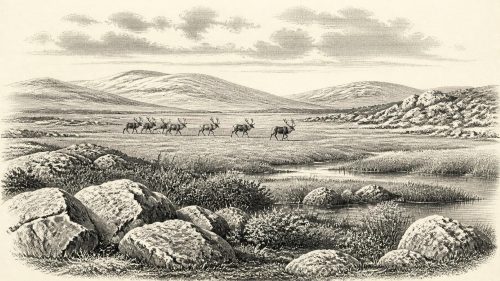
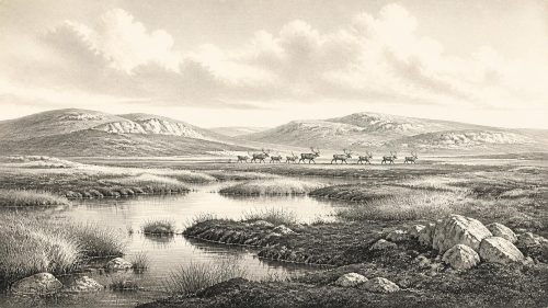
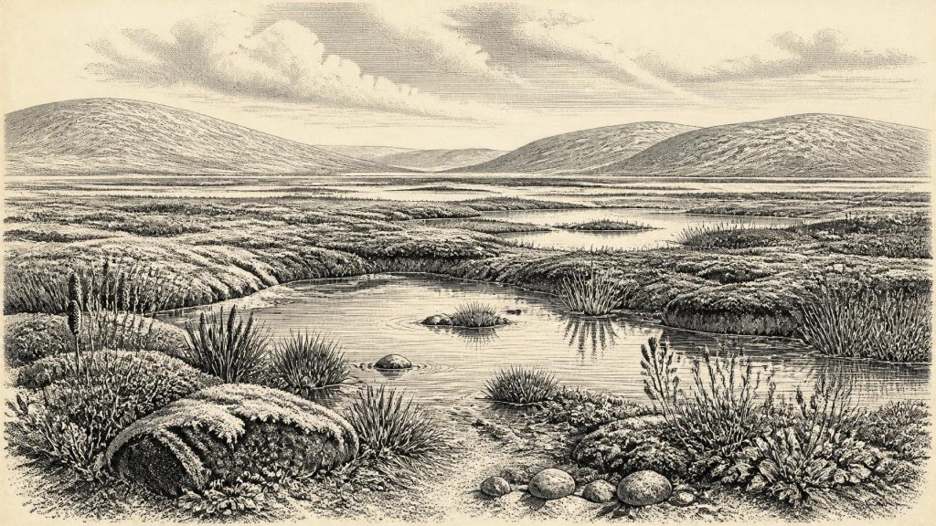
The Derryvree flora and fauna point to cold, treeless, periglacial wetland rather than forest. Grasses, sedges, juniper and herbs were identified alongside a rich moss flora. Aquatic and wetland plants, including bogbean and water-milfoil, indicate standing or slow-moving freshwater. Mountain-avens and lesser clubmoss are consistent with open, cold conditions. Insect remains added to the picture: the basin was interpreted as a muskeg-like environment, with pools, saturated plant-rich ground and mossy margins under a harsh climate.
“Muskeg” should not suggest a familiar Irish bog surrounded by pasture and hedgerows. There was no evidence for farming, fields, woodland management or permanent village life. Instead, the Derryvree deposits indicate an exposed landscape of shallow water, silt, low-growing vegetation and frost-affected ground. Summers were sufficiently mild for plants, insects and freshwater sediment to accumulate; winters were evidently severe. The seasonal contrast, rather than any political or cultural event, was the dominant force shaping this local world.
The site also demonstrates how landscapes vanish and survive. The wetland’s plants died, decayed and became incorporated into mud; sands were washed or blown into the basin; later glacial deposits covered the whole sequence. The modern drumlin is thus not simply a landform but a sealed archive. It preserves organic traces from a time when the locality was not beneath active ice, although almost every visible feature of the surrounding landscape was subsequently reshaped by later glaciation.
Animals at the Western Edge
Southern Irish caves provide a different, less neatly stratified form of evidence. Castlepook Cave, near Doneraile in north Cork, has produced the island’s richest known assemblage of Late Pleistocene vertebrates. Finds attributed to the wider cave deposits include woolly mammoth, reindeer, giant deer, brown bear, wolf, fox, Arctic fox, mountain hare, lemmings and spotted hyaena. Such animals reveal that Ireland, at least during overlapping phases of MIS 3, was connected ecologically to the wider north-west European world.
That list must be read with caution. Castlepook was excavated mainly in the late nineteenth and early twentieth centuries, before modern excavation and recording standards. Bones came from different chambers, deposits and episodes; some may have been moved by carnivores, water, slopewash or earlier digging. Improved radiocarbon methods have shown that several older dates for southern Irish cave bones were too young, and reassessment has moved part of the Castlepook fauna decisively back into MIS 3. The cave is strong evidence for the presence of species across broad periods. It is not evidence that every recorded animal lived together, or occupied one Cork valley, in the modernly labelled year 30,717 BCE.
Nonetheless, the fauna helps to make sense of Derryvree. Reindeer are adapted to open northern environments, while mammoth, giant deer and hyaena belong to ecosystems very different from later wooded Ireland. Hyaena toothmarks on some bones also underline a basic archaeological fact: caves were animal places before they became museum collections. They could be dens, scavenging sites, traps for washed-in sediment or repositories for remains accumulated over many millennia. A bone in a cave records an animal’s death or deposition, not automatically a human hunt or a dwelling site.
The Human Question
The possibility of people in Ireland at this date is important but unresolved. A reindeer femur from Castlepook has been reported as bearing marks made during fresh-bone butchery with a stone tool, and its proposed age has been publicised as roughly 33,000 years old. If that interpretation and association are confirmed, it would indicate a human visit or episode of carcass processing vastly earlier than the long-established post-glacial record. It would not by itself prove a settled population, a named group or a continuous Irish occupation.
At present, there is no securely associated lithic assemblage, hearth, habitation floor, burial or repeated occupation surface in Ireland of comparable MIS 3 age. Renewed work at Castlepook has recovered faunal material and investigated surviving sediments, but its 2022 excavation identified no cultural artefacts. The more securely dated evidence for Upper Palaeolithic human activity in Ireland remains much later: cut marks on a brown-bear kneecap from Alice and Gwendoline Cave in County Clare date to around 12,810–12,590 cal BP. That later discovery is significant, but it cannot be projected back twenty thousand years to describe Derryvree-era society.
It follows that everyday life around 30,717 BCE cannot responsibly be reconstructed as an Irish human story. If people briefly reached the island, comparison with Upper Palaeolithic groups elsewhere in north-west Europe suggests mobile hunter-gatherers whose survival depended on detailed knowledge of animals, weather, fuel, shelter and stone. But that is a contextual inference, not demonstrated evidence from Ireland. There is no basis for identifying a language, ethnicity, kinship system, religious practice, art tradition or seasonal route here.
No Polities, No Proven Trade
Political affairs, diplomacy and organised conflict are beyond the reach of the evidence. There were no known states, chiefs, territorial boundaries, monuments or written traditions in Ireland at this time. Nor are there Irish finds from this horizon that establish trade, farming, metalworking, ceremonial centres or formal learning. It would be misleading to compensate for the silence by importing later Celtic, medieval or even Mesolithic identities into a landscape separated from them by tens of millennia.
There were, however, real regional connections of another kind. Animal populations had arrived from the wider European landmass during windows when climate, sea level, ice margins and available habitats allowed movement. Lower sea level altered the surrounding continental shelf, but it does not prove a simple dry land bridge into Ireland or identify a practical route for people. Ireland’s western position meant that access and isolation changed over long timescales, not according to a single fixed geography.
The larger transformation lay ahead. After the Derryvree interval, the British–Irish Ice Sheet expanded dramatically during the Last Glacial Maximum, which broadly spans c. 26,500–19,000 cal BP. That later ice growth reworked soils, redirected drainage, scoured bedrock and destroyed or concealed much of the evidence of preceding landscapes. Derryvree’s freshwater bed survived only because it was entombed between tills.
What This Year Can Mean
For 30,717 BCE, the responsible historical picture is therefore modest but substantial. A precise calendar year cannot be recovered. Yet within the broad calibrated age range embracing this label, Derryvree records a locally ice-free Fermanagh wetland with open tundra-like vegetation, freshwater pools, mosses, sedges and insects. Cave remains show that Ireland supported, during comparable MIS 3 intervals, an Ice Age fauna of herbivores, predators and scavengers. A contested marked reindeer bone keeps open the possibility of a very early human encounter with that world, but does not establish settlement.
This was not an Ireland of kingdoms or chronicles. It was an Ireland in formation: a severe but biologically active landscape, repeatedly made accessible, transformed and partly erased by climatic change. Its history survives in silt, pollen, mosses, beetles, bones, cave calcite and glacial sediment. Those materials do not give us an event for a numbered year; they give something more durable—a carefully bounded glimpse of the deep environmental conditions from which Ireland’s later human history eventually emerged.
Primary Sources
- A Middle Midlandian Freshwater Series at Derryvree, Maguiresbridge, County Fermanagh, Northern Ireland
- Figure 6.— The Subdivision of the Quaternary Period in Ireland
- Irish Pleistocene Biostratigraphy
- The Irish Quaternary Fauna Project
- A Reconsideration of the Radiocarbon Dating of the Marine Isotope Stage 3 Fauna from Southern Ireland
- Castlepook Cave: County Geological Site Report
- 2022:564 – Castlepook Cave, Castlepook South, Cork
- Archaeology Research Excavation Grant 2022: Castlepook Cave Project Final Report
- Episodic Speleothem Deposition Tracks the Terrestrial Impact of Millennial-Scale Last Glacial Climate Variability in SW Ireland
- Growth and Retreat of the Last British–Irish Ice Sheet, 31,000 to 15,000 Years Ago: the BRITICE-CHRONO Reconstruction
- Pattern and Timing of Retreat of the Last British-Irish Ice Sheet
- Dimensions and Chronology of the Last Ice Sheet in Western Ireland
- Trimlines, Blockfields and the Vertical Extent of the Last Ice Sheet in Southern Ireland
- Exploring Controls of the Early and Stepped Deglaciation on the Western Margin of the British-Irish Ice Sheet
- First Evidence of a Late Upper Palaeolithic Human Presence in Ireland
- New Insights on the Fauna of Ireland’s Younger Dryas and Early Holocene from Alice & Gwendoline Cave
- Prehistoric Details
- The Mesolithic in Ireland: When Was It?
- The IntCal20 Northern Hemisphere Radiocarbon Age Calibration Curve (0–55 cal kBP)
- IntCal Publications
- IntCal History
- Pleistocene Vertebrates in the British Isles