Derryvree’s Unsettled Waters30702 BCE
At approximately 30,702 BCE, Ireland lay within the unstable later Marine Isotope Stage 3 of the last Ice Age, although the date cannot identify a specific event. Derryvree, County Fermanagh, preserves freshwater sediments and cold-adapted wetland plants between two glacial tills, demonstrating temporary ice-free, tundra-like conditions. Castlepook Cave, County Cork, records diverse fauna, including mammoth, reindeer, giant deer, bears, wolves and hyaenas, indicating intermittent ecological connections with Britain and continental Europe. Ice, sea levels and animal ranges changed dynamically. No securely dated evidence proves human occupation, society, ritual or trade in Ireland then; the record documents environmental change and limits.
Dateline
30,702 BCE is a modern way of labelling a point far deeper in time than any Irish calendar, genealogy or historical narrative. It cannot identify a particular season, event or generation. In archaeological terms, it falls within the later part of Marine Isotope Stage 3, an unstable interval of the last Ice Age, roughly 60,000–29,000 years ago. The closest evidence relevant to Ireland comes from broad, calibrated ranges and from deposits accumulated over centuries or millennia. It is therefore more responsible to describe an Irish Ice Age landscape in this general period than to invent a happening for one numbered year.
A Date Beyond Calendar Precision
The difference between radiocarbon and calendar time matters especially here. Radiocarbon laboratories report ages in years before present, with “present” conventionally fixed at 1950; those results must then be calibrated because atmospheric carbon-14 has varied. At about 33,000 calendar years before present, calibration ranges can be broad. The numbered date 30,702 BCE corresponds approximately to 32,652 years before 1950, but it is not an archaeological timestamp.
The crucial northern record is Derryvree, near Maguiresbridge in County Fermanagh. Roadworks exposed a remarkable sequence inside a drumlin: glacial till below, freshwater sands and silts with organic material in the middle, and another till above. The organic horizon yielded the conventional radiocarbon determination BIRM-166, around 30,500 radiocarbon years BP, with a substantial laboratory uncertainty. Calibrated and modelled estimates place the deposit broadly within the later part of MIS 3, rather than at one precisely recoverable year. It is useful evidence for the environmental possibilities around this date, not proof that a particular pool, plant or animal was alive in 30,702 BCE.
Water Between the Ice Sheets
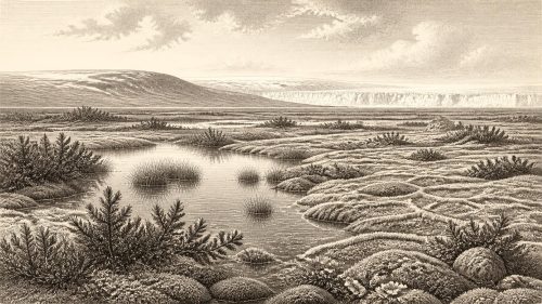
Derryvree’s importance lies in its sequence. A glacier had first laid down the lower till. Then, during an interval when that locality was free of glacier ice, fresh water and fine sediment accumulated. Later ice advanced over the area and sealed the deposit below a second till. The result is a rare surviving archive of change: ice, an interlude of wet ground or shallow water, and renewed glaciation. Such evidence shows that Late Pleistocene Ireland was not a single, unchanging white expanse. Conditions altered regionally and repeatedly as ice margins advanced, stagnated, retreated or were replaced by periglacial terrain.
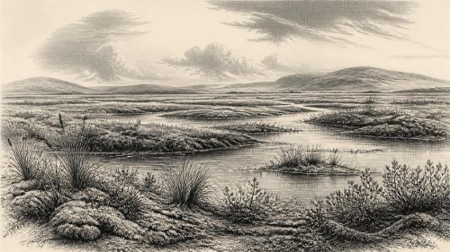
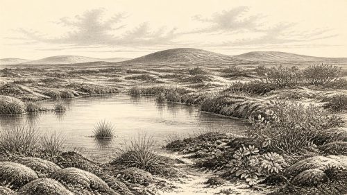
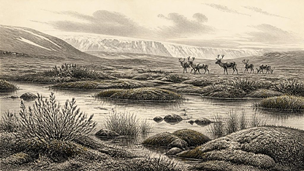
Plant remains from Derryvree indicate treeless, cold-country vegetation associated with wet ground. Mosses, sedges, dwarf willow, bogbean, water-milfoil and other hardy plants point to a freshwater or marshy basin surrounded by open tundra-like country. This should not be pictured as modern bogland transported intact into the Ice Age. It was a severe, exposed setting with short growing seasons, frozen or seasonally frozen ground and little shelter from wind. Yet it was not lifeless. Aquatic plants, shoreline vegetation and mosses demonstrate that water remained available long enough for a local wetland ecosystem to function.
The best interpretation is thus one of environmental patchiness. A basin in Fermanagh could support water plants and wetland communities while higher ground or other districts experienced much harsher conditions. The deposit does not permit a map of the whole island, and it does not tell us whether every coast, valley or upland was similarly ice-free. It does, however, correct any assumption that Ireland’s climate at this stage can be reduced to a uniform glacier.
Ice, Sea and Changing Connections
Ireland lay within the wider British–Irish Ice Sheet system. The full Last Glacial Maximum came later, conventionally placed broadly between about 28,200 and 20,400 calibrated years BP, though individual ice lobes reached their maximum limits at different times. Modern reconstructions show major ice-sheet growth after the interval represented by Derryvree and emphasise that its build-up was dynamic rather than instantaneous. Around the date considered here, Ireland was approaching a period in which expanding ice would transform much of its surface and repeatedly erase or bury older landscapes.
Sea level was much lower globally than it is today because water was stored in continental ice sheets. That did not create a simple, permanent land bridge that can be traced confidently across every part of the Irish Sea. Coasts, channels, proglacial lakes, ice fronts and exposed shelf changed through time. Nevertheless, the presence in Ireland of a diverse Pleistocene fauna shows that animal movement from Britain and continental north-west Europe was possible during suitable phases. Access may have involved intermittent land, ice, coastal corridors, or combinations of these; the precise routes remain unresolved.
There was no island polity, no frontier negotiated by leaders and no diplomacy detectable in this evidence. Political affairs belong to human societies with institutions and records; neither exists in the Irish record for this date. The relevant regional change was physical: the shifting relationship between land, sea and ice determined where plants and animals could live and whether people, if present elsewhere in the wider archipelago, could approach Ireland at all.
Castlepook and the Animal World
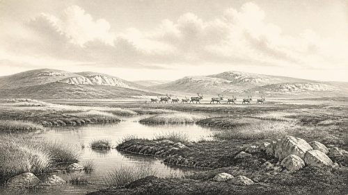
For larger animals, the richest Irish evidence comes from Castlepook Cave, or Mammoth Cave, near Doneraile in north County Cork. Excavations and later reassessment have identified a striking Ice Age fauna including woolly mammoth, reindeer, giant deer, brown bear, wolf, foxes, Arctic fox, hare, lemmings and spotted hyaena. Not every species was present at once. Cave deposits accumulated through long periods and were affected by carnivores, water movement, collapse and early excavation methods. Individual bones may also differ greatly in age.
Even so, Castlepook demonstrates that Ireland was periodically part of a wider north-west European mammal world. Reindeer and lemmings fit cold, open habitats; Arctic fox reinforces the picture of severe conditions. Mammoth and giant deer suggest that, in some phases, enough forage existed across open landscapes to support large herbivores. Spotted hyaenas and wolves indicate predators and scavengers capable of exploiting those animals. This was not dense forest, nor was it a pastoral countryside. It was an exposed mosaic in which grassland, herb-rich ground, wetlands, bare sediment and snow-covered terrain may each have been important at different seasons and places.
The fauna also gives a limited glimpse of ecological relationships. Predators could have carried prey remains into caves; carnivores, rather than people, are likely to explain much of the bone accumulation. Large herbivores would have moved in response to grazing, snow cover, water and terrain. Such movements are reasonable ecological inferences, but evidence does not establish a single migration route, a herd size or a season for 30,702 BCE. The landscape was mobile in a deeper sense: ice margins shifted, watercourses changed and animal ranges expanded or contracted with climate.
People: Possibility Is Not Proof
No securely dated settlement, hearth, dwelling, stone-tool assemblage or human burial demonstrates human occupation of Ireland at this date. That absence is central, not a gap to be filled with fiction. There is a disputed possibility of human modification on a reindeer bone from Castlepook, but the object derives from an old collection and cannot presently supply the secure archaeological context needed to reconstruct a camp, a hunting party or a lasting population. It is suggestive rather than definitive.
The earliest widely published direct indication of human activity in Ireland is much later: cut marks on a brown-bear patella from Alice and Gwendoline Cave in County Clare, radiocarbon dated to about 12,810–12,590 calibrated years BP. Even that terminal-Pleistocene evidence concerns a single modified bone, not an established village. It should not be projected backwards by twenty millennia. Around 30,702 BCE, humans may have crossed parts of Britain and continental Europe during favourable intervals, but Ireland has not yielded the securely contextualised evidence required to say that people lived, hunted or travelled here then.
Society, Belief and Exchange
Accordingly, society and everyday life cannot be described for Ireland itself. There are no houses, campsites, food-processing areas, clothing tools or graves. There is no evidence for kin groups, leadership, conflict, alliances, language, teaching or art on the island. Nor can archaeology identify religion or ritual: no shrine, deliberate burial, symbolic object or rock art is securely tied to this time in Ireland. The cave fauna records natural and carnivore activity; it does not preserve myth or memory.
Economy and trade are equally beyond the evidence. A hunter-gatherer group, if one had briefly reached Ireland, would have needed practical knowledge of weather, animal behaviour, stone and shelter. But this is a general observation about Upper Palaeolithic lifeways in north-west Europe, not evidence for an Irish community. There is no Irish exchange network, quarrying site, curated tool collection or imported object attributable to this date. Nor should animal movement across changing sea levels be called “trade”: it was biogeography.
An Archive of Limits
The historical significance of Ireland around 30,702 BCE lies in the evidence’s restraint. Derryvree preserves freshwater life between two glacial episodes, showing that parts of the island could temporarily sustain a cold wetland environment. Castlepook records a much richer Ice Age fauna than later Ireland possessed and confirms intermittent ecological links with the wider region. Together, these places reveal an Ireland shaped less by human institutions than by ice, open water, vegetation and the movements of animals.
They also establish the limits of responsible storytelling. There is no named people, battle, ruler, settlement or ritual to attach to this year. What survives instead is more fragmentary and, in its way, more revealing: silts beneath a Fermanagh drumlin, bones in a Cork cave, calibrated age ranges and the knowledge that a changing Ice Age environment repeatedly opened and closed the possibilities for life on Ireland’s Atlantic edge.
Primary Sources
- A Middle Midlandian Freshwater Series at Derryvree, Maguiresbridge, County Fermanagh, Northern Ireland
- The Irish Quaternary Fauna Project
- A Reconsideration of the Radiocarbon Dating of the Marine Isotope Stage 3 Fauna from Southern Ireland
- New Insights on the Fauna of Ireland’s Younger Dryas and Early Holocene from Alice & Gwendoline Cave
- First Evidence of a Late Upper Palaeolithic Human Presence in Ireland
- First Evidence of a Late Upper Palaeolithic Human Presence in Ireland
- The IntCal20 Northern Hemisphere Radiocarbon Age Calibration Curve (0–55 cal kBP)
- Growth and Retreat of the Last British–Irish Ice Sheet, 31,000 to 15,000 Years Ago: the BRITICE-CHRONO Reconstruction
- Maximum Extent and Dynamic Behaviour of the Last British–Irish Ice Sheet West of Ireland
- Radiocarbon Constraints on the Age of the Maximum Advance of the British–Irish Ice Sheet in the Celtic Sea
- Late Pleistocene Chronostratigraphy and Ice Sheet Limits, Southern Ireland
- Last Glacial Maximum Cirque Glaciation in Ireland and Implications for Reconstructions of the Irish Ice Sheet
- New Data for the Last Glacial Maximum in Great Britain and Ireland
- Response of the Irish Ice Sheet to Abrupt Climate Change During the Last Deglaciation
- Dimensions and Chronology of the Last Ice Sheet in Western Ireland
- The Last Glacial Maximum
- Figure 6—The Subdivision of the Quaternary Period in Ireland
- References and Recommended Reading
- Irish Pleistocene Biostratigraphy
- The Quaternary History of Ireland