Cold Habitats30606 BCE
Around 30,606 BCE, Ireland lay within the unstable late-Pleistocene climate of Marine Isotope Stage 3. Derryvree, County Fermanagh, preserves freshwater sediments between glacial tills, indicating a temporary ice-free wetland with cold-adapted, open vegetation. Castlepook Cave in County Cork demonstrates that mammoth, reindeer, giant deer, predators and other cold-steppe fauna inhabited parts of Ireland during this broader period. Growing ice, permafrost, altered drainage and lower sea levels created changing routes and habitats. Possible early human visits remain unproven, despite a potentially cut-marked reindeer bone. No evidence supports permanent settlement, social institutions or cultural identities. Surviving evidence is chiefly geological and ecological.
Dateline
30,606 BCE is a modern calendar label, not a date that can be isolated in Ireland’s prehistoric record. No document, settlement layer, burial or named individual allows historians to describe a particular Irish year so remote in time. The most responsible approach is to place the notional year within a much broader late-Pleistocene interval, using calibrated radiocarbon ranges and geological sequences rather than pretending to possess annual precision. In calendar terms it falls roughly 32,555 years before AD 1950, the conventional ‘present’ used in radiocarbon reporting. Ireland was then in the later part of the last glacial cycle, a cold and unstable world commonly assigned to Marine Isotope Stage 3.
A Date Within a Range
The nearest important Irish environmental anchor is the freshwater deposit exposed at Derryvree, near Maguiresbridge in County Fermanagh. Roadworks in 1969 cut through a drumlin and revealed silts, sands and organic material lying between two thick layers of till: sediment deposited directly by ice. This sequence is unusually revealing. It demonstrates that ice had occupied the locality, that a period sufficiently free of local glacier ice followed for freshwater and wetland deposits to accumulate, and that ice later returned and sealed the evidence beneath another till sheet.
Organic material from Derryvree produced the conventional radiocarbon determination BIRM-166, reported as 30,500 ± 1,100 radiocarbon years BP. A radiocarbon age is not identical to a calendar age, because atmospheric carbon-14 concentrations have varied over time. Calibration against the modern IntCal20 curve therefore produces a broad range, approximately 36,900–31,700 calibrated years BP, or about 34,950–29,750 BCE. The notional year 30,606 BCE lies inside that wide span. This does not mean the Derryvree mud can be dated to that year; it means that the deposit offers unusually relevant evidence for conditions across the broader interval.
Freshwater Beneath a Drumlin
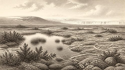
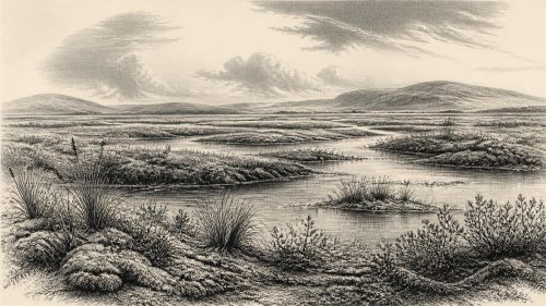
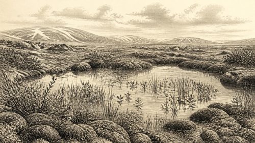
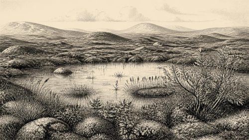
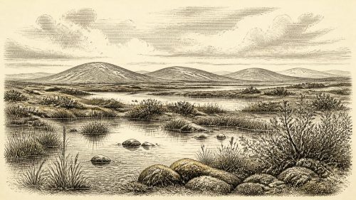
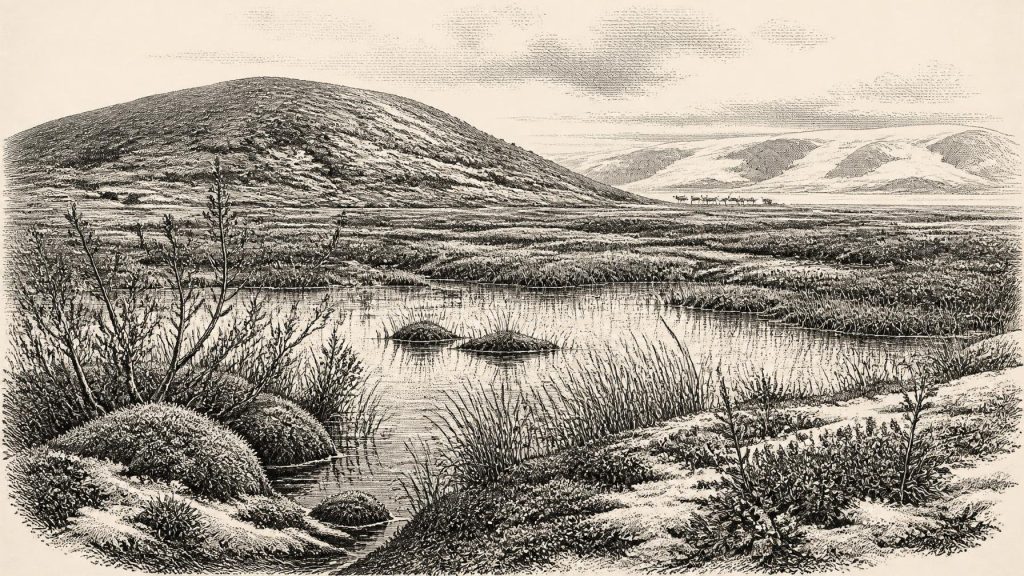
Derryvree was not a village site. Its importance lies in environmental evidence: sediment, pollen, plant macrofossils and small animal remains. These illuminate a local basin with standing or slowly moving freshwater and wet ground, rather than fields, houses or a cultivated landscape. The recovered plants include wetland and cold-climate elements such as sedges, mosses, bogbean, water-milfoil, dwarf willow and mountain-avens. Individually, such remains establish the presence of particular plants in or close to the water; together, they indicate an open, cold and varied landscape where shallow pools, marshy margins and mineral soils could coexist.
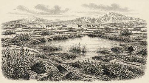
The picture should not be turned into a postcard of a uniform Arctic wilderness. A fossil assemblage records a particular locality and is filtered by preservation. It does, however, make closed woodland very unlikely around the basin. Trees could not have formed the dominant cover suggested by later Irish landscapes. Low vegetation, herbs, grasses, mosses and dwarf shrubs were better suited to the severe climate, short growing season and periodically frozen ground. Small differences in slope, drainage, snow cover and exposure may have created sheltered wet patches alongside drier, windswept tundra.
Ice, Permafrost and Changing Coasts
This was before the maximum extent of the last British–Irish Ice Sheet, not a time when every part of Ireland can simply be imagined beneath a single unbroken mass of ice. Modern reconstructions show a complex, growing ice system between about 31,000 and 15,000 years ago. At the beginning of that broad sequence, upland ice caps and glaciers existed in several Irish mountain regions, while the extent of ice across lower ground varied substantially from place to place and through time. The Derryvree deposits provide direct local proof that at least one Fermanagh locality experienced an ice-free freshwater interval within this changing glacial history.
The main maximum came later. Evidence from offshore western Ireland indicates that grounded ice advanced far across the Atlantic shelf after about 26,400 calibrated years BP, while large-scale reconstructions place major maximum phases in Ireland and its surrounding seas several millennia after the period considered here. Around 30,606 BCE, then, advancing ice was a powerful long-term constraint rather than a fixed backdrop. Ireland’s terrain, rivers and ecological corridors were being repeatedly altered by freeze-thaw action, sediment movement, shifting drainage and glacier advance.
Sea level was lower than it is today because vast quantities of water were stored in continental ice sheets. The coastline and surrounding shelves were consequently different, with land now submerged lying exposed in places. Yet lower seas must not be converted automatically into a claim that Ireland was easily joined to continental Europe by a simple land bridge. The Irish Sea basin, channels, local ice margins and changing sea levels created a complex geographical setting. For animals and any people who reached the island, routes were contingent, seasonal and environmentally demanding.
The Southern Cave Evidence
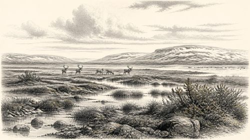
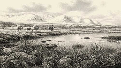
County Cork provides a complementary, though differently preserved, record. Castlepook Cave near Doneraile, also called Mammoth Cave, is Ireland’s richest known cave repository for Quaternary vertebrate remains. Its faunal collection includes woolly mammoth, giant deer, reindeer, brown bear and spotted hyaena, as well as later cold-adapted animals such as Arctic fox, wolf and lemmings. Improved radiocarbon dating has shown that important elements of the Castlepook fauna belong to Marine Isotope Stage 3, before the Last Glacial Maximum. It is therefore directly relevant to the kind of animal world that Ireland could support in the wider period of this article.
That evidence needs careful handling. Cave deposits are not a single living community frozen in time. Animals may have died in different centuries or millennia; carnivores, water and earlier excavation may have moved bones; and a species found in a cave was not necessarily resident immediately outside it at every moment. Spotted hyaenas in particular may have accumulated bones in their denning or scavenging activities. Castlepook nevertheless establishes that parts of southern Ireland formed part of a wider north-west European cold-steppe and tundra fauna, capable at favourable times of supporting substantial herbivores and their predators.
The Human Question
The human evidence is far more fragile than the environmental record. A reindeer femur from Castlepook has been publicised as bearing a deep incision consistent with cutting by a sharp stone tool and as dating to roughly 33,000 years ago. If the mark is confirmed as a butchery trace, it would imply that one or more Upper Palaeolithic people handled a reindeer in Ireland during the broader interval close to this article’s notional date. It would be an important extension of Ireland’s human story.
It would not, however, demonstrate permanent settlement, a large population, a named people or continuous occupation. No securely associated hearth, dwelling, stone-tool assemblage, burial, artwork or occupation floor has yet been identified for Ireland at 30,606 BCE. The National Museum of Ireland appropriately notes that clear evidence for a Palaeolithic population remains extremely limited. The stronger, independently published evidence for human activity is much later: a cut-marked brown-bear bone from Alice and Gwendoline Cave in County Clare, dated to the terminal Pleistocene, around 12,810–12,590 calibrated years BP.
The safest interpretation is therefore restrained. Ireland may have been visited by small, mobile Upper Palaeolithic parties during favourable windows, perhaps pursuing game or moving through a wider British and north-west European landscape. Such parties would have required formidable practical knowledge: reading weather and animal movements, finding fresh water, making and maintaining tools, controlling fire and sharing food. Those are reasonable inferences from what is known of contemporary hunter-gatherers elsewhere, not direct observations of a settled Irish community.
No Politics, But a Social Landscape
There is no evidence from this period for political institutions, chiefs, territories, diplomacy, warfare or formal trade in Ireland. Equally, there is no basis for assigning a language, ethnicity, religion or artistic tradition to any possible visitors. Later ideas of Irishness, Gaelic society and island kingdoms belong to immensely later worlds. The correct history here is not one of absent people waiting to become historical actors, but of a landscape whose surviving evidence is mostly geological and ecological.
Everyday life can only be approached conditionally. Had people entered Ireland during an ice-free interval, they would almost certainly have travelled lightly, depended on animal and plant resources, and left traces vulnerable to erosion, burial beneath glacial sediment, rising sea level and later disturbance. Their social relations, beliefs and learning are unknowable from the Irish record at present. No ritual site, grave, ornament, image or structured deposit can responsibly be linked to this date. Silence on these questions is not a failure of imagination; it is a necessary distinction between evidence and speculation.
A Precarious Irish World
The most important development around 30,606 BCE was environmental instability. Fermanagh’s buried freshwater deposits preserve an interval in which a wetland ecosystem existed between episodes of glaciation. Cork’s cave fauna shows that large mammals and predators used Irish landscapes during the broader middle part of the last glacial cycle. Together, they replace the old simplification of an Ireland either wholly frozen or wholly habitable. Instead, the island contained shifting opportunities and severe constraints: open ground and freshwater in some places, snow and permafrost in others, animal corridors that could appear or disappear, and growing ice capable of erasing evidence.
This is why the archaeology of the period is so valuable. A seed, a moss fragment, a pollen grain, a cave bone or a layer of silt cannot narrate a calendar year. But each can test larger claims about climate, animals and human possibility. Around the modern label of 30,606 BCE, Ireland was not yet a land of farms, monuments or recorded communities. It was a changing Pleistocene landscape on the edge of major glaciation, known through a handful of exceptional archives and still capable of revising the earliest chapters of Irish history.
Source References
Hover over a number to see the source. Select it to open the source.

- [1] A Middle Midlandian Freshwater Series at Derryvree, Maguiresbridge, County Fermanagh, Northern Ireland
- [2] Early Midlandian–Middle Midlandian, Pleistocene, Northern Ireland
- [3] Irish Quaternary Association
- [4] References and Recommended Reading: IQUA Guide 16
- [5] The IntCal20 Northern Hemisphere Radiocarbon Age Calibration Curve (0–55 cal kBP)
- [6] Growth and Retreat of the Last British–Irish Ice Sheet, 31,000 to 15,000 Years Ago: The BRITICE-CHRONO Reconstruction
- [7] BRITICE-CHRONO Maps and GIS Data of the Last British-Irish Ice Sheet 31 to 15 ka
- [8] Pattern and Timing of Retreat of the Last British-Irish Ice Sheet
- [9] New Data for the Last Glacial Maximum in Great Britain and Ireland
- [10] Dimensions and Chronology of the Last Ice Sheet in Western Ireland
- [11] Maximum Extent and Dynamic Behaviour of the Last British–Irish Ice Sheet West of Ireland
- [12] Oscillating Retreat of the Last British-Irish Ice Sheet on the Continental Shelf Offshore Galway Bay, Western Ireland
- [13] Extent and Retreat History of the Barra Fan Ice Stream Offshore Western Scotland and Northern Ireland During the Last Glaciation
- [14] A Reconsideration of the Radiocarbon Dating of the Marine Isotope Stage 3 Fauna from Southern Ireland
- [15] Castlepook Cave: Cork County Geological Site Report
- [16] First Evidence of a Late Upper Palaeolithic Human Presence in Ireland
- [17] First Evidence of a Late Upper Palaeolithic Human Presence in Ireland
- [18] New Insights on the Fauna of Ireland's Younger Dryas and Early Holocene from Alice and Gwendoline Cave
- [19] Prehistoric Details
- [20] The Mesolithic in Ireland: When Was It?
- [21] Radiocarbon Dates from the Oxford AMS System: Archaeometry Datelist 31
- [22] Phylogeographic, Ancient DNA, Fossil and Morphometric Analyses Reveal Ancient and Modern Introductions of a Large Mammal: The Complex Case of Red Deer in Ireland
Primary Sources
- A Middle Midlandian Freshwater Series at Derryvree, Maguiresbridge, County Fermanagh, Northern Ireland
- Early Midlandian–Middle Midlandian, Pleistocene, Northern Ireland
- Irish Quaternary Association
- References and Recommended Reading: IQUA Guide 16
- The IntCal20 Northern Hemisphere Radiocarbon Age Calibration Curve (0–55 cal kBP)
- Growth and Retreat of the Last British–Irish Ice Sheet, 31,000 to 15,000 Years Ago: The BRITICE-CHRONO Reconstruction
- BRITICE-CHRONO Maps and GIS Data of the Last British-Irish Ice Sheet 31 to 15 ka
- Pattern and Timing of Retreat of the Last British-Irish Ice Sheet
- New Data for the Last Glacial Maximum in Great Britain and Ireland
- Dimensions and Chronology of the Last Ice Sheet in Western Ireland
- Maximum Extent and Dynamic Behaviour of the Last British–Irish Ice Sheet West of Ireland
- Oscillating Retreat of the Last British-Irish Ice Sheet on the Continental Shelf Offshore Galway Bay, Western Ireland
- Extent and Retreat History of the Barra Fan Ice Stream Offshore Western Scotland and Northern Ireland During the Last Glaciation
- A Reconsideration of the Radiocarbon Dating of the Marine Isotope Stage 3 Fauna from Southern Ireland
- Castlepook Cave: Cork County Geological Site Report
- First Evidence of a Late Upper Palaeolithic Human Presence in Ireland
- First Evidence of a Late Upper Palaeolithic Human Presence in Ireland
- New Insights on the Fauna of Ireland's Younger Dryas and Early Holocene from Alice and Gwendoline Cave
- Prehistoric Details
- The Mesolithic in Ireland: When Was It?
- Radiocarbon Dates from the Oxford AMS System: Archaeometry Datelist 31
- Phylogeographic, Ancient DNA, Fossil and Morphometric Analyses Reveal Ancient and Modern Introductions of a Large Mammal: The Complex Case of Red Deer in Ireland