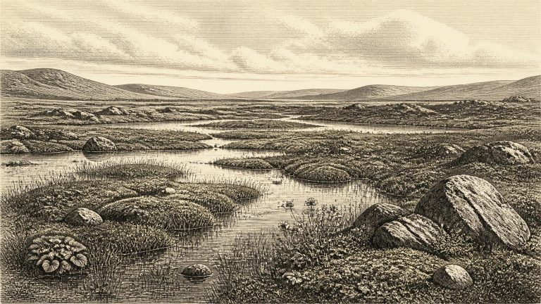
Derryvree is important because a road cutting through a drumlin exposed fine sands, freshwater silts and organic layers trapped between two thick tills. Till is the unsorted debris deposited by glacier ice. The stratigraphy establishes a sequence: glacial ice had affected the locality; an interval followed in which freshwater and organic sediments accumulated; then later ice overrode or approached the area sufficiently to leave the upper till. It is powerful evidence against a simplistic picture of Ireland as continuously buried beneath ice throughout the last cold stage.
Derryvree matters because of its physical arrangement. Roadworks exposed a section through a drumlin: a lower deposit of till, laid down by glacier ice; fine sands, silts and organic freshwater sediments above it; and another body of till sealing the sequence. This was not a normal soil horizon. It was a buried environmental archive, formed after one phase of glaciation and before another. The organic bed establishes that, for a period, this locality was not overridden by ice and contained standing or slow-moving fresh water. Subsequent glacier advance then covered and protected the deposit.
Radiocarbon years are not calendar years. A laboratory determination must be calibrated against changing atmospheric carbon levels, and results this old commonly produce wide ranges. The key Irish deposit is at Derryvree near Maguiresbridge, County Fermanagh, where roadworks in 1969 cut through a drumlin. Beneath its surface lay two separate sheets of glacial till, with freshwater silts, sands and organic layers caught between them. The organic deposit, known as BIRM-166, produced a conventional radiocarbon result of 30,500 years BP with a substantial uncertainty. Published calibration places the episode broadly around 36,900–31,700 calibrated years BP. The notional date of 30,965 BCE falls within that broad window; it does not identify the precise moment when a particular pond formed, a seed fell or an animal crossed the ground.
The difference between calendar years, radiocarbon years and calibrated dates matters especially here. Radiocarbon ages are measured against AD 1950 and must be calibrated because atmospheric carbon-14 has varied through time. At around 30,000 radiocarbon years ago, calibration uncertainties and the shape of the calibration curve make any conversion broad rather than exact. A literal BCE number should consequently be treated as a navigational aid, not as a claim that an Irish deposit formed in one particular winter or summer.
The closest exceptional environmental archive lies at Derryvree near Maguiresbridge, County Fermanagh. Roadworks exposed freshwater sands, silts and organic layers sealed between two tills: unsorted deposits made by glacier ice. Their order is clear. Ice had occupied or affected the district; a period of freshwater and wet-ground deposition followed; then another glacial advance buried the record. Organic material from the deposit produced a conventional radiocarbon determination of 30,500 ± 1,100 radiocarbon years BP. That is not a calendar date. When calibrated, it corresponds to a broad interval, commonly expressed at roughly 36,900–31,700 calibrated years BP, rather than to a single year. The range encompasses the requested horizon, but does not prove that every plant or pool described by the deposit existed in 31,009 BCE itself.
At Derryvree, roadworks in 1969 cut through a drumlin: one of the streamlined hills formed by moving glacier ice. Beneath and above the exposed deposit lay two separate sheets of till, unsorted sediment left directly by ice. Between them was a freshwater sequence of silts and fine sands, including organic material. A conventional radiocarbon determination from that deposit, Birm-166, was 30,500 years before present, with a substantial error range. Calibration converts it into a wider calendar range rather than a single date. The basic conclusion is robust: before a later ice advance overwhelmed the location, freshwater pools and wet ground existed there during a cold phase of the last glacial cycle.
Organic material from the Derryvree deposits produced a conventional radiocarbon determination of 30,500 +1,170/−1,030 years BP. That is a laboratory radiocarbon age, not a calendar date. At such antiquity, calibration against changing atmospheric carbon levels produces a wide probability range spanning several millennia. Consequently, 31,027 BCE can be related cautiously to the deposit’s general chronological horizon, but cannot be assigned to a particular layer, plant, insect, animal or episode at Derryvree. The evidence supports an environmental setting around this broad period; it does not support a claim that a named occurrence happened in Ireland in this individual year.
“31,106 BCE” is a modern chronological label, not a date that anyone in prehistoric Ireland could have known or recorded. There was no writing, calendar, named community or archaeological sequence capable of identifying one particular year. In radiocarbon terms the label falls approximately 33,000 calendar years before AD 1950, the conventional scientific “present”; but that conversion should not imply annual precision. The most useful Irish evidence belongs to broader calibrated ranges. Around this point, Ireland lay in the later part of Marine Isotope Stage 3, a long and climatically unstable phase before the Last Glacial Maximum. The closest well-dated Irish environmental archive is the Derryvree deposit near Maguiresbridge, County Fermanagh: organic freshwater sediments whose published radiocarbon result calibrates broadly to about 36,900–31,700 cal BP. The date in question sits within that wide interval, not at a pinpoint in its layers.
The closest Irish environmental archive is at Derryvree, near Maguiresbridge in County Fermanagh. A road cutting exposed organic freshwater silts and fine sands preserved between two bodies of glacial till: unsorted sediment deposited directly by ice. Their order tells an important story. Ice affected the locality; a wet, ice-free interval then allowed freshwater deposits and living communities to accumulate; later glacial activity buried the record beneath further till.
“31,254 BCE” is a modern chronological label, not a year that anyone then living in Ireland could have named, counted or recorded. There were no written calendars, rulers, communities identifiable by name, or dated events from the island at this depth of time. In simple calendar arithmetic, the label lies about 33,200 years before 1950, within the later part of the Late Pleistocene and broadly within Marine Isotope Stage 3 (MIS 3), an unstable interval of the last Ice Age. Archaeology cannot responsibly reconstruct a particular spring, hunt or political occurrence for this nominal year. It can, however, assemble a careful picture of Irish environments and animal life from deposits whose broad age ranges encompass it.
The most informative Irish environmental archive close to this notional date is Derryvree, near Maguiresbridge in County Fermanagh. Road works in 1969 cut through a drumlin and exposed an unusual sequence: organic freshwater silts and fine sands enclosed between two tills. Till is sediment left by glacier ice. The arrangement therefore records an important local sequence—glaciation, an ice-free interval in which water and vegetation accumulated sediment, and then renewed glaciation which sealed the deposit.
Derryvree was exposed during roadworks in 1969, when a cutting through a drumlin revealed fine sands and organic-rich freshwater silts enclosed between two tills. Till is the poorly sorted sediment left directly by moving glacier ice. The sequence supplies a firm relative order even where absolute dating is imprecise: ice deposited the lower till; the locality later supported water, plants and accumulating sediment; a renewed advance laid down the upper till and sealed the earlier landscape. The deposit is consequently a rare survival from a period normally erased by later glacial erosion.
Derryvree is important precisely because so little of Ireland’s older Ice Age ground surface survived later glaciation. Ice, meltwater, erosion and subsequent soils have destroyed or obscured many traces of the Middle Midlandian, the Irish name commonly applied to this portion of the last glacial cycle. At Derryvree, however, a low wet basin preserved material from a short-lived landscape before a later ice advance incorporated it into a drumlin. It is not a settlement site and it does not supply a narrative of human acts. It is an environmental archive: a record made from sediment, pollen, seeds, mosses and insect remains.