Ice Approaches the Irish Landscape31809 BCE
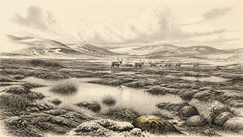
31,809 BCE is a modern chronological marker, not a securely dated Irish event, with no written records, named people or settlements. Ireland then lay within a cold, unstable Late Pleistocene environment as the British-Irish Ice Sheet expanded unevenly. Open tundra, freshwater basins and treeless vegetation survived in places, although later ice destroyed much evidence. Inter-till deposits at Derryvree, County Fermanagh, indicate cold freshwater habitats. Castlepook Cave, County Cork, yielded reindeer, mammoth, giant deer, predators and other fauna, demonstrating substantial pre-glacial animal life. A marked reindeer bone may suggest brief human presence, but cannot prove permanent or continuous settlement in Ireland.
Dateline
The label 31,809 BCE is a modern chronological reference point rather than a securely dated Irish event. No written record, named person or settlement can be assigned to this year. The evidence belongs to the Late Pleistocene, when Ireland formed part of a cold and unstable north-west European environment reconstructed through cave faunas, freshwater sediments, pollen, insects, glacial deposits and radiocarbon ranges.
A Country at the Glacial Edge
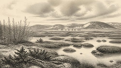
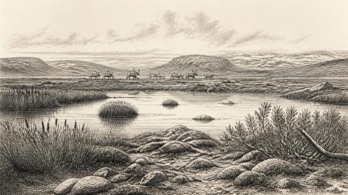
By this broad horizon the British-Irish Ice Sheet was entering a period of major expansion. The advance was uneven, and open ground, freshwater basins and tundra vegetation could persist while ice grew elsewhere. Later glaciation erased or buried much of the earlier landscape, leaving a patchy record.
Derryvree and Castlepook
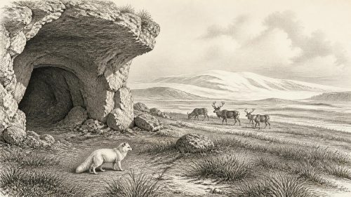
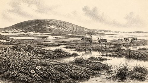
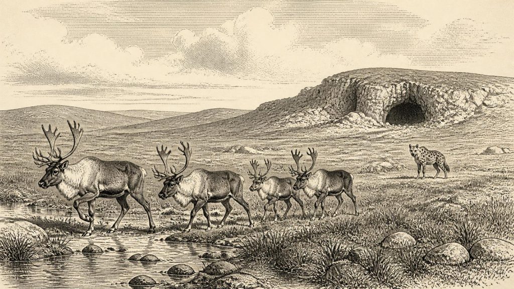
Inter-till freshwater deposits near Maguiresbridge in County Fermanagh show cold open habitats with treeless vegetation and freshwater life. Castlepook Cave in north Cork preserves remains of reindeer, mammoth, giant deer, bear, wolf, fox, Arctic fox and spotted hyaena. Together these sites show that Ireland supported substantial animal life before the later maximum spread of ice.
People and Uncertainty
A marked reindeer bone from Castlepook has raised the possibility of very early human activity, but it does not establish a permanent settlement or a continuous population. For 31,809 BCE the responsible picture is environmental rather than political: cold-adapted animals, open habitats, expanding ice and the possibility of brief human visits.
Primary Sources
Sources for this article include the National Museum of Ireland, Cork County Council heritage publications, Castlepook excavation reports, research on the Derryvree inter-till deposit, BRITICE-CHRONO reconstructions, Quaternary Science Reviews studies, Boreas research, and the IntCal20 radiocarbon calibration curve.