Periglacial Tundra31540 BCE
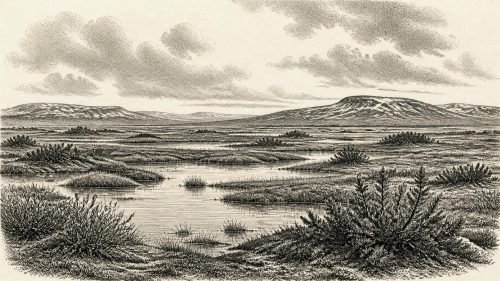
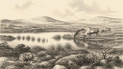
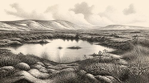
31,540 BCE denotes a broad late Pleistocene interval, rather than a date recoverable in Irish archaeology. During Marine Isotope Stage 3, Ireland experienced unstable climatic oscillations, with changing ice margins, sea levels and habitats. Derryvree, County Fermanagh, preserves freshwater deposits dated broadly to 36,900–31,700 cal BP, showing locally ice-free, wet, treeless periglacial tundra. Castlepook Cave, County Cork, contains diverse fauna, including mammoth, reindeer, horse, giant deer and spotted hyena, demonstrating episodic animal dispersal. Human presence remains unproven: a possibly cut-marked reindeer bone suggests butchery, not settlement. Evidence reveals environmental history, while political, cultural and religious claims remain unsupported by evidence.
Dateline
The label 31,540 BCE is a modern way of locating a point deep in prehistory, not a date that people in Ireland could have named or recorded. It equates roughly to 33,490 years before AD 1950 (cal BP), but archaeology cannot resolve Irish evidence to that individual calendar year. At this depth in time, even good radiocarbon measurements calibrate into ranges of centuries or millennia. The responsible subject is therefore Ireland during the broad late Pleistocene horizon that includes this notional year: a cold, unstable world of open ground, freshwater hollows, travelling animals and periodically expanding ice.
In Irish terminology this belonged to the Midlandian glacial cycle; in wider European discussion it falls within Marine Isotope Stage 3 (MIS 3), conventionally dated at roughly 59,000–29,000 years ago. MIS 3 was not one unchanging “Ice Age”. Greenland ice cores and North Atlantic records show sharp climatic oscillations between relatively milder interstadials and harsher stadials. Ireland, at the Atlantic edge of north-west Europe, was especially exposed to the consequences: altered snowfall, changing sea levels, shifting ice margins and repeated changes in the vegetation available to animals.
A Date Range, Not a Dated Year
The most important environmental evidence directly relevant to this period comes from Derryvree, near Maguiresbridge in County Fermanagh. Road works in 1969 cut through a drumlin and exposed freshwater silts and fine sands trapped between two thick layers of till, sediment deposited by glacier ice. The intervening organic deposit had formed during an ice-free interval, then was sealed beneath a later glacial advance. Its radiocarbon result, known as Birm-166, was 30,500 radiocarbon years BP, with a substantial uncertainty. Modern calibration places the deposit broadly around 36,900–31,700 cal BP: approximately 34,950–29,750 BCE.
That span includes 31,540 BCE, but it does not demonstrate what happened in Fermanagh in that precise year. Nor should it be used as a neat map for the whole island. It is a local archive, valuable precisely because its silts preserved biological material from a landscape later buried and reshaped by ice. The lesson of Derryvree is modest but powerful: during part of MIS 3, south Fermanagh contained biologically active, ice-free ground under a severe periglacial climate.
Wet Tundra Beneath a Drumlin
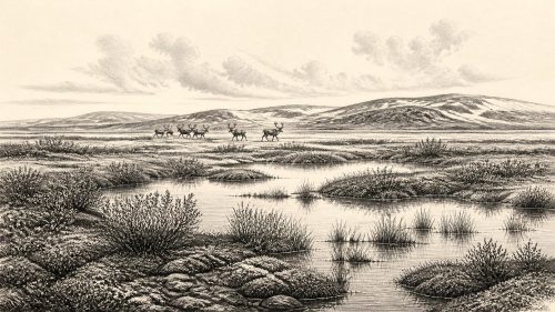
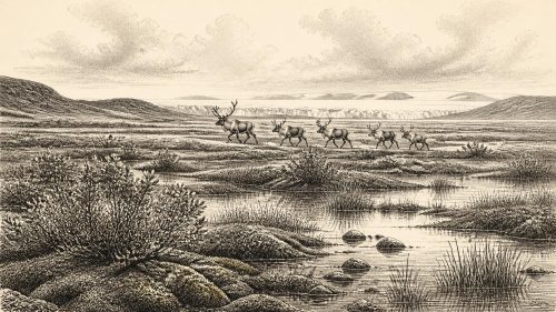
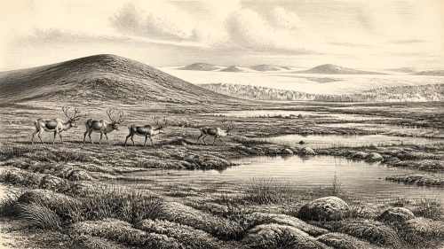
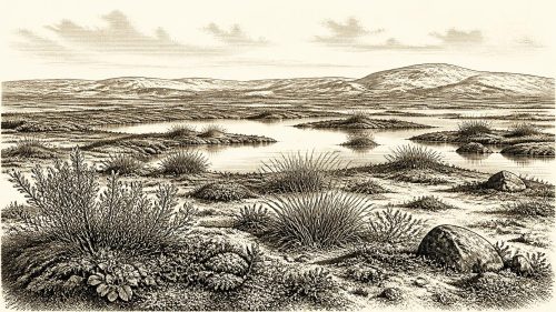
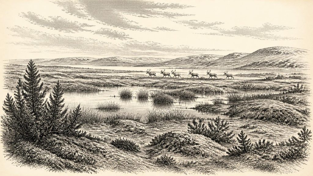
The Derryvree flora and fauna point to open tundra or muskeg-like terrain rather than woodland. Pollen, plant macrofossils, mosses and insect remains indicate wet ground with shallow freshwater, sedges, grasses, herbs and cold-tolerant vegetation. Juniper occurred, but neither juniper nor scattered tree pollen proves a forest. Pollen can travel far on the wind, whereas the combined local evidence favours a sparse, treeless landscape. Frost, waterlogging and a short growing season restricted soil development; wind-exposed mineral surfaces probably alternated with wetter, more sheltered hollows.
This should not be imagined as an unbroken sheet of snow or lifeless gravel. A tundra wetland could be seasonally productive. Mossy margins, sedge beds and shallow pools supplied different habitats within a small area, while herbs and grasses supported insects and grazing mammals in favourable months. Yet it was a demanding environment. Long winters, seasonal freezing, abrupt weather shifts and limited shelter would have governed the movements of every animal using it. The hedged fields, mature woods and settled drumlin country familiar in modern Fermanagh belonged to an unimaginably distant future.
Regional variety mattered. Conditions near the Atlantic coast, in southern limestone country, on uplands and in lowland basins were not identical. Derryvree is evidence for Fermanagh, not a licence to paint every Irish valley the same colour. Nevertheless, its stratigraphy shows an essential feature of Ireland’s history at this time: the island was neither permanently ice-covered nor securely hospitable. Habitable patches could exist amid a wider climatic regime that was becoming increasingly hostile.
Castlepook and the Animal Record
County Cork provides the other indispensable Irish perspective. Castlepook Cave, also called Mammoth Cave, near Doneraile, has produced Ireland’s richest known assemblage of pre-Last Glacial Maximum vertebrate remains. The cave collections include woolly mammoth, reindeer, giant deer, horse, brown bear, wolf, fox, hare and spotted hyena. Not every species necessarily occupied the same landscape at the same moment, and cave deposits are complicated accumulations. Carnivores dragged in prey; animals died naturally; water disturbed bones; early excavations removed material before modern recording standards existed. A list of bones is therefore not a single snapshot of an Ice Age community.
Even so, improved radiocarbon dating has transformed Castlepook’s importance. Re-dating work has shown that several older determinations from southern Irish caves understated the true age of MIS 3 fauna, in some cases by thousands of radiocarbon years. The evidence supports the conclusion that large mammals reached Ireland during earlier phases of the last glacial cycle, well before the Last Glacial Maximum. Spotted hyena is particularly striking: it is known in Ireland from Castlepook, and its presence indicates not a mythical wilderness but a functioning predator-and-scavenger ecology capable of supporting substantial prey.
For a landscape around the Derryvree range, reindeer and horse are especially suggestive of open country, while mammoth, giant deer, bears and hyenas show that Ireland could at intervals sustain a far richer large-mammal fauna than later historical Ireland. Their arrival also demonstrates that Ireland was not ecologically isolated in the modern sense. Lower sea levels exposed extensive land now beneath surrounding seas, and ice, coastlines and shallow-water routes changed repeatedly. Exactly how animals entered, and whether every movement involved continuous dry land, ice connections or shorter crossings, remains debated. The safer conclusion is that connections sufficient for animal dispersal existed during favourable phases.
The Human Question
There is no securely excavated dwelling, hearth, burial, stone-tool scatter or settlement surface in Ireland that can be assigned to 31,540 BCE. There are no names, languages, leaders, territories or political institutions to recover. “Political affairs”, diplomacy and organised conflict are therefore beyond the evidence. It would be misleading to invent a tribe, a migration or a battle merely because people elsewhere in Upper Palaeolithic Europe were hunting, exchanging materials and making art.
One object makes the question of people unusually important. A reindeer femur from the historic Castlepook collection has been publicised as bearing a deep mark interpreted by zooarchaeologist Ruth Carden as damage made by a sharp stone tool during carcass processing. If that interpretation is confirmed, it would be evidence that a person, perhaps one member of a small mobile party, handled a reindeer in Ireland during MIS 3. It would push the island’s possible human story far earlier than the much better documented post-glacial settlement record.
But a possible cut mark is not equivalent to proving a settled population. The bone was recovered in old excavations from a cave with disturbed, mixed and complex deposits. Its surface modification must be assessed against carnivore damage, breakage, sediment abrasion and excavation effects; the date of an animal bone also does not date a human action to a single year. Until associated tools, hearths or an undisturbed occupation layer are recovered, the most cautious wording is “possible human butchery”, not an established colony or a permanent Irish population.
Life Without Institutions
If people did reach Ireland in this interval, comparison with contemporary Upper Palaeolithic communities elsewhere in north-west Europe permits only carefully labelled inference. They would probably have required cooperative hunting or scavenging, skill in making and maintaining stone-edged tools, clothing adequate for cold exposure, knowledge of fuel and fire, and close attention to animal routes and seasonal resources. Such capabilities are widely attested outside Ireland; they cannot yet be directly demonstrated here. A brief visit to exploit an animal carcass and a recurring seasonal camp would leave very different archaeological traces, and Ireland has not yielded evidence capable of distinguishing them.
The same restraint applies to economy and trade. No Irish exchange network can be identified for this date. There is no evidence for farming, herding, pottery, metalworking, monuments or managed fields. The only securely visible economy is ecological: plants growing in wet and open habitats; herbivores feeding and moving through them; predators, scavengers and decomposers using the resulting food webs. For possible people, animal flesh, hides, bone and sinew may have been valuable resources, but this is a plausible inference rather than an Irish find assemblage.
No Recoverable Religion
Nothing from Ireland around this horizon reveals ritual, religious belief, artistic tradition or formal learning. Caves should not automatically be treated as sanctuaries: at Castlepook they are principally archives of animal remains and depositional processes. Nor can later Irish mythology be projected backwards across more than thirty millennia. The genuine culture visible here is the culture of scientific investigation: palaeontology, radiocarbon measurement, pollen study, sedimentology and taphonomic analysis, each contributing a partial record and each imposing limits on certainty.
Thus the dominant development around 31,540 BCE was environmental, not political. Ireland lay within an unstable late Pleistocene zone where pockets of open, wet periglacial land could support vegetation and large animals, while the larger trajectory was towards the severe glaciation of the Last Glacial Maximum. Derryvree preserves a rare ledger of that vulnerable landscape; Castlepook preserves the bones of animals that moved through another part of it. Together they make this not a blank year, but a period whose history has to be told in calibrated ranges, deposits and probabilities rather than invented events.
Source References
Hover over a number to see the source. Select it to open the source.

- [1] A Reconsideration of the Radiocarbon Dating of the Marine Isotope Stage 3 Fauna from Southern Ireland
- [2] A Middle Midlandian Freshwater Series at Derryvree, Maguiresbridge, County Fermanagh, Northern Ireland
- [3] The Irish Quaternary Fauna Project
- [4] New Insights on the Fauna of Ireland's Younger Dryas and Early Holocene from Alice & Gwendoline Cave
- [5] Castlepook Cave: County Geological Site Report
- [6] Spotted Hyena Skull
- [7] Prehistoric Details
- [8] Ice Age Ireland
- [9] Guide to the National Museum of Ireland – Natural History
- [10] 2022:564 — Castlepook Cave, Castlepook South, Cork
- [11] Mammoth Cave
- [12] Occurrence of Mammalia Relicts at Site Castlepook Cave
- [13] Dimensions and Chronology of the Last Ice Sheet in Western Ireland
- [14] Trimlines, Blockfields and the Vertical Extent of the Last Ice Sheet in Southern Ireland
- [15] Late Pleistocene Chronostratigraphy and Ice Sheet Limits, Southern Ireland
- [16] Deglaciation Chronology of the Donegal Ice Centre, North-West Ireland
- [17] The Problem of a Late Quaternary Landbridge Between Britain and Ireland
- [18] The Island of Ireland: Drowning the Myth of an Irish Land-Bridge?
- [19] The IntCal20 Northern Hemisphere Radiocarbon Age Calibration Curve (0–55 cal kBP)
- [20] Fast and Slow Components of Interstadial Warming in the North Atlantic During the Last Glacial
- [21] Warm Atlantic Surface Water Inflow to the Nordic Seas 34–10 Calibrated ka B.P.
- [22] Mid-to-Late Marine Isotope Stage 3 Mammal Faunas of Britain: A New Look
Primary Sources
- A Reconsideration of the Radiocarbon Dating of the Marine Isotope Stage 3 Fauna from Southern Ireland
- A Middle Midlandian Freshwater Series at Derryvree, Maguiresbridge, County Fermanagh, Northern Ireland
- The Irish Quaternary Fauna Project
- New Insights on the Fauna of Ireland's Younger Dryas and Early Holocene from Alice & Gwendoline Cave
- Castlepook Cave: County Geological Site Report
- Spotted Hyena Skull
- Prehistoric Details
- Ice Age Ireland
- Guide to the National Museum of Ireland – Natural History
- 2022:564 — Castlepook Cave, Castlepook South, Cork
- Mammoth Cave
- Occurrence of Mammalia Relicts at Site Castlepook Cave
- Dimensions and Chronology of the Last Ice Sheet in Western Ireland
- Trimlines, Blockfields and the Vertical Extent of the Last Ice Sheet in Southern Ireland
- Late Pleistocene Chronostratigraphy and Ice Sheet Limits, Southern Ireland
- Deglaciation Chronology of the Donegal Ice Centre, North-West Ireland
- The Problem of a Late Quaternary Landbridge Between Britain and Ireland
- The Island of Ireland: Drowning the Myth of an Irish Land-Bridge?
- The IntCal20 Northern Hemisphere Radiocarbon Age Calibration Curve (0–55 cal kBP)
- Fast and Slow Components of Interstadial Warming in the North Atlantic During the Last Glacial
- Warm Atlantic Surface Water Inflow to the Nordic Seas 34–10 Calibrated ka B.P.
- Mid-to-Late Marine Isotope Stage 3 Mammal Faunas of Britain: A New Look