Derryvree’s Waterlogged Tundra31539 BCE
Although 31,539 BCE is a modern conversion rather than a precise Irish date, Derryvree, County Fermanagh, illuminates later Marine Isotope Stage 3. Organic freshwater sediments, dated broadly to 36,900–31,700 calibrated BP, formed between glacial advances, demonstrating local ice-free conditions. Their plants, pollen and insects depict a cold, treeless, waterlogged tundra of sedges, grasses, mosses, juniper and herbs. Ireland’s environments and ice margins varied regionally before the Last Glacial Maximum. Castlepook Cave preserves diverse cold-stage fauna, including mammoth, reindeer and hyena, plus a possible butchery-marked reindeer bone. This suggests brief human visits, not established settlement, amid later glacial destruction of evidence.
Dateline
The label 31,539 BCE should not be mistaken for a date that can be observed in Ireland’s archaeological record. It is a modern calendar conversion, approximately 33,488 years before AD 1950, the conventional zero point for “before present” dating. No excavated Irish settlement, grave, tool assemblage or historical event can responsibly be assigned to that individual year. The useful historical question is instead what the evidence says about the broad interval into which it falls: later Marine Isotope Stage 3, long before the Last Glacial Maximum reached its fullest Irish extent.
For this part of the Ice Age, calibrated ranges rather than calendar-year certainties are essential. Organic material from Derryvree, near Maguiresbridge in County Fermanagh, produced a radiocarbon determination of about 30,500 ± 1,170 years BP. Published calibrations place that evidence broadly within c. 36,900–31,700 calibrated years BP. The nominal year 31,539 BCE falls within that wide span, but it cannot be located more precisely within the deposit. Derryvree therefore offers an environmental window onto Ireland around this remote point in time, not a dated snapshot of one year.
Evidence Between Two Ice Advances
Derryvree matters because of its position in the ground. Roadworks in 1969 cut through a drumlin and exposed organic-rich freshwater silts and fine sands lying between two sheets of till, the stony debris left by glaciers. The sequence records three large-scale changes: an earlier phase of ice occupation, a period in which non-glacial sediments accumulated in a freshwater setting, and a later advance that buried the deposit beneath fresh till. Its importance lies precisely in that sequence. It demonstrates that at least part of northern Ireland was ice-free during a portion of MIS 3, before renewed glaciation transformed the landscape again.
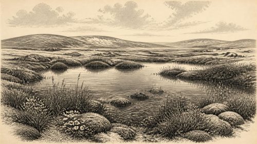
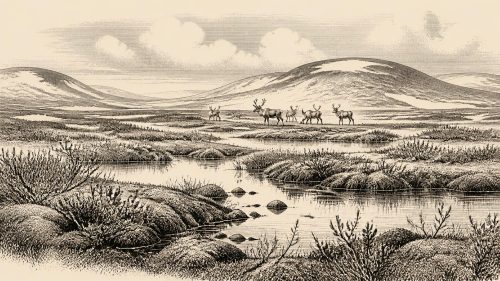
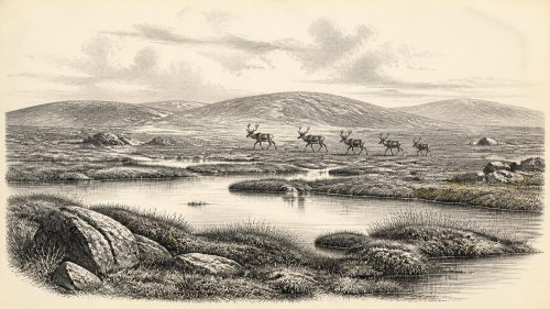
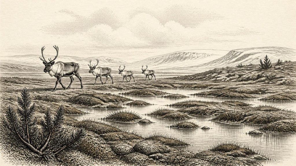
The Derryvree material does not support an image of a mild woodland Ireland. Plant macrofossils, pollen and insect evidence indicate a largely open, treeless, periglacial environment. Sedges and grasses were important, alongside mosses, juniper and cold-adapted herbs. Shallow pools, saturated ground and plant-rich mud occurred amid exposed or sparsely vegetated terrain: a muskeg-like wetland rather than a modern bog or forest. Some pollen grains may have been transported or redeposited, so individual species must be handled cautiously. Yet the combined assemblage securely indicates a cold open landscape with local freshwater habitats.
This is the most direct evidence relevant to 31,539 BCE, but it represents a locality, not the whole island. Conditions could vary sharply with altitude, exposure, drainage, proximity to ice and the changing margin of the Irish Sea. In south-west Ireland, uranium-thorium dating of speleothems from Crag Cave shows episodes during MIS 3 when groundwater circulated and cave calcite could grow. Such growth is evidence against continuous local permafrost at the cave during those episodes; it is not proof of warm weather, woodland or a uniformly ice-free island. Ireland’s climate and ice cover were dynamic, with North Atlantic shifts playing out differently across regions.
A Landscape Before the Maximum
The broad setting was a world approaching, but not yet at, the peak of the last glaciation. Reconstructions of the Irish Ice Sheet indicate that substantial areas were ice-free until roughly 34,000 years ago, followed by a long and uneven build-up towards the later maximum. That chronology should not be simplified into a single advancing white front. Ice streams, upland ice centres, sediment-choked basins and glacier margins changed over thousands of years. Derryvree’s buried wetland is evidence that glaciers did not cover that particular Fermanagh landscape continuously. It does not establish the limits of every ice mass in every Irish region at the same moment.
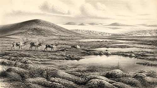
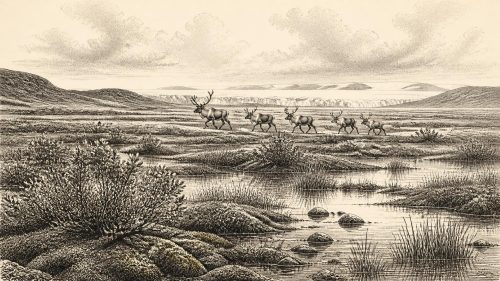
For people or animals moving through the region, this was an exacting land. Winters were severe, the growing season short and shelter scarce beyond hollows, rock overhangs and perhaps patches of shrubby vegetation. Periglacial processes repeatedly froze and thawed soils, disturbed sediment and altered drainage. Water was nevertheless a conspicuous feature in suitable basins: pools and wet ground concentrated plants, insects and perhaps grazing animals. Such places could be biologically productive on a small scale even within a generally cold, exposed terrain.
Sea level was considerably lower than today during the wider glacial period, and the outlines of coasts, estuaries and shallow seas were different. That does not allow a confident reconstruction of a simple land bridge into Ireland at this date. Local sea level was affected by global ice volume, crustal movement, ice margins and changing channels. The routes by which Ice Age mammals reached Ireland remain a research question. What can be said is that the island was not ecologically isolated in the absolute sense implied by its modern shorelines: faunal movements occurred during favourable intervals, whether across temporary terrestrial connections, narrow-water crossings or combinations of changing coastal routes.
Animals in the Cave Record
The strongest Irish animal archive for this broad pre-maximum era is Castlepook Cave, near Doneraile in north County Cork. Excavations and later study recovered more than 2,000 bones, while radiocarbon measurements on individual specimens span roughly 45,700 to 19,950 BP. The cave contains evidence for woolly mammoth, reindeer, giant deer, brown bear and spotted hyena, with wolf, Arctic fox and lemmings represented in the wider Ice Age fauna. Not every species lived together, and not every bone was deposited by the same process. Castlepook accumulated material over a very long period through carnivore activity, natural deaths, water movement and, later, disturbance by excavation.
The presence of spotted hyena is particularly revealing. Hyenas could drag carcass parts into a den, break bones and leave accumulations that resemble human food waste unless carefully analysed. Mammoth remains likewise indicate the passage or presence of large herbivores, not a permanent local herd visible in any one year. Castlepook is therefore a rich palaeontological archive rather than an orderly camp floor. Together with Derryvree, it shows that Ireland supported, at intervals, a cold-stage animal community far more varied than the island’s later historic fauna.
The Reindeer and the Human Question
A reindeer femur from Castlepook has given this period exceptional archaeological interest. It has been reported as dating to about 33,000 years ago and as bearing a deep incision interpreted by the palaeozoologist Ruth Carden as a sharp stone-tool mark made during butchery. If that taphonomic interpretation is upheld, it would be evidence that a person processed a reindeer in Ireland during the Upper Palaeolithic, vastly earlier than the formerly accepted record of post-glacial settlement. It would fit a wider north-west European world in which Homo sapiens groups hunted, travelled and maintained social connections across large territories.
That conclusion must remain proportionate to the object. The dated bone is not a securely excavated occupation surface accompanied by a lithic assemblage, hearth, shelter, human remains or repeated food-processing debris. Its old collection history and the complexity of cave deposits make association difficult. A date measures the age of the animal bone, while identifying a mark as a cut made by a stone tool is a separate analytical judgement. The femur may record a brief human visit, perhaps by one or a few mobile hunters; it cannot demonstrate a permanent population, an Irish territory, a named people or uninterrupted descent to later inhabitants.
Accordingly, no political affairs, diplomacy, leaders, warfare or institutions can be recovered for Ireland in this period. Nor is there local evidence for religion, formal burial, art, language, teaching or trade networks. Upper Palaeolithic societies elsewhere in Europe made tools, ornaments and images, used tailored clothing and shared knowledge across considerable distances. These comparisons help indicate what human visitors might have been capable of, but they are not evidence that such objects or customs existed in Ireland around 31,539 BCE. Responsible history must preserve that distinction.
Everyday Life Without a Settlement
If humans did reach Ireland during this interval, their economy would have been based on mobile hunting and gathering, not farming, herding, villages, fields or long-term built settlement. Reindeer and other large mammals offered meat, fat, hides, sinew and bone; wetlands supplied water and smaller resources. Yet Castlepook provides no direct proof that these resources were systematically exploited, and Derryvree has produced environmental evidence rather than domestic debris. The safest conclusion is not that Ireland possessed a concealed Ice Age society, but that its landscapes could at times be entered by animals and perhaps by highly mobile people.
The principal historical development around this nominal year was environmental opportunity bounded by instability. In Fermanagh, a treeless freshwater wetland formed between glacial episodes. In Cork, cave deposits preserve a diverse record of Ice Age mammals and a tantalising possible trace of butchery. Later ice expansion would erase, bury or scatter much of what might once have existed on the surface. The silence of the record is thus meaningful but not final: it reflects both sparse human activity, if any, and the destructive power of subsequent glaciation. Derryvree’s waterlogged tundra remains a rare, carefully dated witness to an Ireland that was cold, open, inhabited by unfamiliar animals and changing on a scale no single calendar year can contain.
Primary Sources
- A Middle Midlandian Freshwater Series at Derryvree, Maguiresbridge, County Fermanagh, Northern Ireland
- Palaeoecology
- Figure 6.— The Subdivision of the Quaternary Period in Ireland
- Trimlines, Blockfields and the Vertical Extent of the Last Ice Sheet in Southern Ireland
- Castlepook Cave: Cork County Geological Site Report
- The Geological Heritage of County Cork
- The Irish Quaternary Fauna Project
- A Reconsideration of the Radiocarbon Dating of the Marine Isotope Stage 3 Fauna from Southern Ireland
- Spotted Hyena Skull
- Heritage Artefacts of County Cork
- 2022:564 – Castlepook Cave, Castlepook South, Cork
- Archaeology Research Excavation Grant Report: Castlepook Caves Project
- Prehistoric Details
- The Mesolithic in Ireland: When Was It?
- First Evidence of a Late Upper Palaeolithic Human Presence in Ireland
- New Insights on the Fauna of Ireland's Younger Dryas and Early Holocene From Alice & Gwendoline Cave
- The IntCal20 Northern Hemisphere Radiocarbon Age Calibration Curve (0–55 cal kBP)
- A Stratigraphic Framework for Abrupt Climatic Changes During the Last Glacial Period Based on Three Synchronized Greenland Ice-Core Records
- Episodic Speleothem Deposition Tracks the Terrestrial Impact of Millennial-Scale Last Glacial Climate Variability in SW Ireland
- Spatio-Temporal Dynamics of Speleothem Growth and Glaciation in the British Isles
- Pattern, Style and Timing of British-Irish Ice Sheet Retreat: Shetland and Northern North Sea Sector
- Ireland: Submerged Prehistoric Sites and Landscapes