Periglacial Evidence31024 BCE
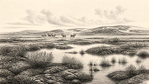
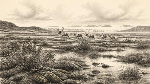
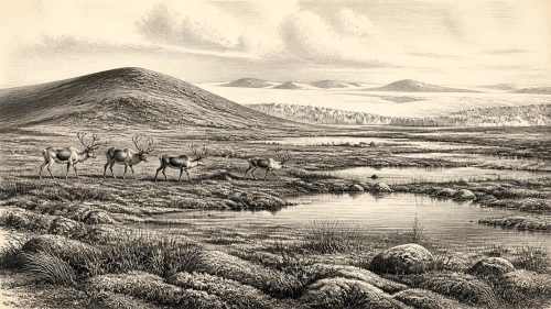
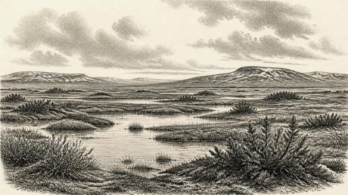
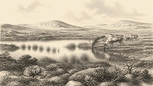
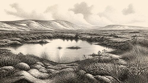
Around 31,024 BCE, Ireland lacked written history and preserves fragmentary Late Pleistocene evidence. During climatically unstable Marine Isotope Stage 3, ice, periglacial conditions and low sea levels repeatedly reshaped landscapes and access routes. At Derryvree, County Fermanagh, organic sediments between glacial tills record an ice-free freshwater wetland, dated broadly to this period, supporting tundra vegetation. Castlepook Cave, County Cork, preserves mixed remains of reindeer, mammoth, lemmings, carnivores and other cold-stage fauna, demonstrating animal presence. A marked reindeer bone may indicate human butchery, but lacks secure context. No settlements, tools, burials, institutions or human occupation are established; later ice erased evidence.
Dateline
A Date Without a Dateline
31,024 BCE is a modern label placed upon a span of deep time, not a year from which Ireland can yield an event-by-event chronicle. There are no written records, named people, settlements, rulers or calendar systems for the island at this depth. Modern calendar-year precision is unavailable. In the archaeological convention of years before AD 1950, this point lies about 32,973 years before present, within Marine Isotope Stage 3 (MIS 3), a climatically unsettled part of the Late Pleistocene. Evidence is dated as ranges, and the ranges themselves are revised as laboratories, methods and radiocarbon calibration curves improve.
That caution is especially important in Ireland. Later glacier ice repeatedly eroded, transported and buried earlier surfaces. Much of the material that might once have documented camps, tracks, hearths or working areas was scoured away or now lies under offshore sediments. The surviving record is therefore uneven: a buried wetland deposit in County Fermanagh, disturbed cave assemblages in the south, and landforms that preserve the movement of ice more clearly than the actions of people. These sources can describe an Irish environment around this broad horizon; they cannot supply a particular day in 31,024 BCE.
An Island in an Unstable Ice Age
Ireland was in the last Ice Age, but it should not be pictured as a permanently uniform white wilderness. MIS 3 contained abrupt shifts between relatively milder intervals and severe cold phases across the North Atlantic region. The major expansion associated with the Last Glacial Maximum lay ahead, although ice already had a long and complex history on the island. Geological reconstructions show that the growth and movement of the British–Irish Ice Sheet varied by region. At this date, some ground could be ice-free while other areas bore ice or were shaped by intense periglacial conditions: hard frost, seasonal thaw, sparse vegetation, unstable soils and braided meltwater channels.
Sea level was far lower than it is today because vast quantities of water were held in global ice sheets. Coastlines, estuaries and shallow seas consequently differed greatly from modern ones. Yet low sea level does not justify an easy statement that Ireland was simply joined to Britain by a permanent, broad land bridge. The detailed form, duration and accessibility of possible routes changed with sea level, local topography, ice margins and watercourses. For animals, and perhaps for occasional people, the island was part of a wider north-west European ecological zone; precisely how each arrival occurred remains a separate question.
The strongest regional point is not that all Ireland shared one landscape, but that conditions changed over short geological timescales and differed from place to place. Upland exposure, distance from ice, drainage and local shelter mattered. A landscape that carried animals in one interval could later be overridden by ice. This instability helps explain both the patchiness of the evidence and the caution required when converting one fossil locality into a picture of the whole island.
Derryvree Beneath the Drumlins
The most illuminating Irish environmental evidence for the broad period comes from Derryvree near Maguiresbridge, County Fermanagh. Road cutting through a drumlin exposed freshwater silts and organic sediments lying between two tills. Till is sediment deposited directly by glacier ice. The sequence therefore records an earlier glaciation, followed by an interval in which the site was locally free of ice and supported water and vegetation, then a renewed ice advance that sealed the deposit beneath fresh glacial material.
A radiocarbon determination from the Derryvree organic bed, Birm-166, produced an age of 30,500 ± 1,100 radiocarbon years before present. A radiocarbon age is not identical to a calendar age: atmospheric carbon levels have varied through time, so laboratory results require calibration. Under modern calibration, the date corresponds broadly to a calendar range spanning several millennia, commonly expressed at roughly 36,900–31,700 calibrated years before present. The modern point represented by 31,024 BCE falls within that broad range. It does not identify the beginning, end or a particular season of the Derryvree wetland.
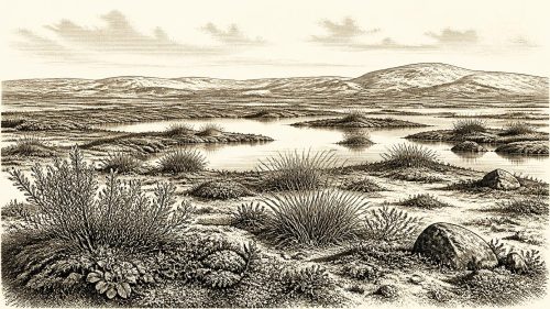
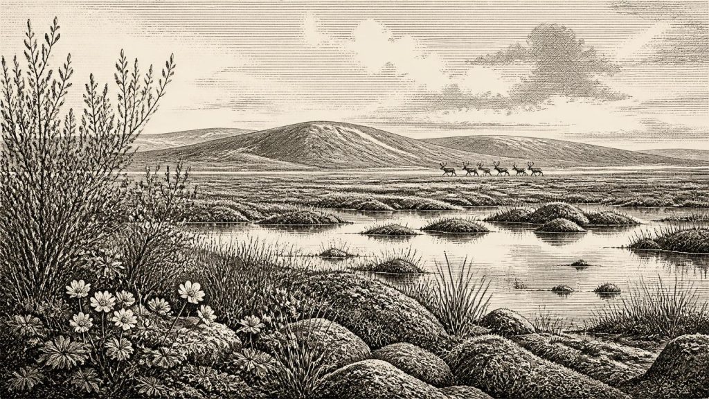
Plant macrofossils, pollen and other environmental remains from the buried sediments indicate a cold, open and treeless setting. Sedges, mosses, dwarf shrubs and arctic-alpine plants belonged to a wet, tundra-like mosaic rather than to the oak, ash and hazel woodland of later Ireland. Records of bogbean, water-milfoil, mountain-avens, dwarf willow and clubmoss point to shallow freshwater, marshy margins and patches of low vegetation. Such evidence supports a landscape of pools, sedge beds and exposed ground, with local water sustaining plant communities even under a harsh climate.
‘Muskeg’ is a useful, if imperfect, descriptive term for this kind of mossy, waterlogged ground. It should not suggest a stable modern peat bog transplanted unchanged into the Pleistocene. Derryvree records a dynamic freshwater environment subject to sedimentation, freezing, thawing and shifts in water level. Its importance is precisely that it proves an ice-free interval in this part of Ulster before later ice buried the evidence. It supplies an ecological window, not a map of every valley in Ireland.
Reindeer, Carnivores and Cave Evidence
In southern Ireland, Castlepook Cave near Doneraile in County Cork provides a different sort of archive: bones accumulated in limestone passages over more than one phase of the Late Pleistocene. Work by the Irish Quaternary Fauna Project and later redating has shown that Ireland supported a considerably richer cold-stage mammal fauna than its present-day fauna implies. Castlepook’s material includes reindeer, giant deer, brown bear, wolf or fox, hare, lemming, spotted hyaena and woolly mammoth, though not all remains derive from one moment, one chamber or one undisturbed deposit.
The fauna makes ecological sense in an open, cold landscape. Reindeer are adapted to seasonal grazing across broad, largely treeless country; lemmings indicate northern conditions; and large herbivores could support formidable scavengers and predators. Spotted hyaenas in particular matter because caves may have been dens or places to which carnivores dragged carcass parts. A bone in a cave is therefore not automatically proof that its animal died there, much less that people occupied the cave. Tooth marks, breakage, water movement, gravity and early collecting practices can all complicate the route from living animal to museum specimen.
Some re-dated Castlepook bones belong broadly to MIS 3, and research has placed spotted hyaenas and other mammals in Ireland between about 45,000 and 30,000 years ago. That supports the conclusion that animals repeatedly reached and used parts of the island during a period relevant to 31,024 BCE. It does not show that every listed species lived side by side at Derryvree, or that a single ‘Ice Age community’ persisted unchanged for fifteen millennia. The cave’s power lies in demonstrating presence across a long, fluctuating period; its limitation lies in the mixing and incomplete context of its collection.
The Human Question
The most provocative item associated with this horizon is a reindeer femur from Castlepook reported to carry a deep mark interpreted by Ruth Carden as a fresh-bone cut or chop made by a sharp stone tool. Public accounts have connected the bone with an age of about 33,000 years. If the modification is securely shown to be anthropogenic and contemporary with the animal’s death, it would be major evidence that a person handled, and perhaps butchered, a reindeer in Ireland long before the Last Glacial Maximum.
But this is a proposed indication of human activity, not a licence to populate Ireland with a known Palaeolithic society. The bone comes from an old cave collection rather than a modernly excavated occupation surface with a complete stratigraphic record. A radiocarbon date fixes the death of the animal, not necessarily the instant at which a surface mark was made. Nor does one potentially modified bone establish a camp, a route, a population size, a season of visit, a language or a lasting settlement. Recent work at Castlepook is explicitly seeking the crucial associated evidence: in-situ stone tools, hearths, charcoal, further modified bone and securely dated deposits.
It is reasonable to say that Homo sapiens groups elsewhere in north-west Europe at this time possessed stone technologies and drew heavily on animal resources. It is not responsible to transfer their clothing, artistic practices, kinship arrangements or ritual life wholesale to Ireland. No contemporary Irish dwelling, burial, ornament, cave art, tool assemblage or human remains has yet been established for this date. The responsible conclusion is smaller but still remarkable: an Irish reindeer bone may preserve evidence of human intervention, while the question remains under investigation.
What Cannot Be Recovered
Political affairs, diplomacy and organised conflict are beyond the evidence. There were no states, frontiers or institutions that archaeology can identify in Ireland around this point. Nor is there evidence for farming, herding, villages, fields, metalworking, long-distance trade networks or formal religious monuments. Claims about tribal names, chiefs, warfare or a distinctive Irish belief system would be inventions. Even if small human parties occasionally reached the island, their social organisation and movements cannot be recovered from the present record.
The economic reality most securely visible is ecological rather than commercial: plants grew in cold wetlands; herbivores moved through open country; carnivores exploited carcasses and caves; ice and water repeatedly reorganised viable terrain. If people were present, hunting and carcass processing are the only activities tentatively suggested by the Castlepook femur, and even that rests on interpretation still awaiting fuller confirmation. There is no evidence for exchange or seaborne trade.
For Ireland around 31,024 BCE, the central historical development is therefore environmental opportunity bounded by instability. Derryvree shows an ice-free freshwater corridor in Fermanagh within a wide calibrated interval. Castlepook shows that cold-stage mammals reached Cork and that caves preserved traces of their passage. Together they reveal an island neither empty in the ecological sense nor securely documented as inhabited by people: a changing northern landscape, rich in animal life, later transformed and partly erased by ice.
Source References
Hover over a number to see the source. Select it to open the source.

- [1] A Reconsideration of the Radiocarbon Dating of the Marine Isotope Stage 3 Fauna from Southern Ireland
- [2] The Irish Quaternary Fauna Project
- [3] First Evidence of a Late Upper Palaeolithic Human Presence in Ireland
- [4] New Insights on the Fauna of Ireland's Younger Dryas and Early Holocene from Alice & Gwendoline Cave
- [5] Figure 6.— The Subdivision of the Quaternary Period in Ireland
- [6] Archaeology Research Excavation Grant 2022
- [7] 2022:564 - Castlepook Cave, Castlepook South, Cork
- [8] Spotted Hyena Skull
- [9] Heritage Artefacts of County Cork
- [10] Ireland: Submerged Prehistoric Sites and Landscapes
- [11] Dimensions and Chronology of the Last Ice Sheet in Western Ireland
- [12] Trimlines, Blockfields and the Vertical Extent of the Last Ice Sheet in Southern Ireland
- [13] Oscillating Retreat of the Last British-Irish Ice Sheet on the Continental Shelf Offshore Galway Bay, Western Ireland
- [14] Irish Pleistocene Biostratigraphy
- [15] The Late Quaternary History of East-Central Ireland
- [16] Phylogeographic, Ancient DNA, Fossil and Morphometric Analyses Reveal Ancient and Modern Introductions of a Large Mammal: The Complex Case of Red Deer (Cervus elaphus) in Ireland
- [17] The Mesolithic in Ireland: When Was It?
- [18] Natural History Division Acquisition Strategy
- [19] The IntCal20 Northern Hemisphere Radiocarbon Age Calibration Curve (0–55 cal kBP)
- [20] Exploring Controls of the Early and Stepped Deglaciation on the Western Margin of the British-Irish Ice Sheet
Primary Sources
- A Reconsideration of the Radiocarbon Dating of the Marine Isotope Stage 3 Fauna from Southern Ireland
- The Irish Quaternary Fauna Project
- First Evidence of a Late Upper Palaeolithic Human Presence in Ireland
- New Insights on the Fauna of Ireland's Younger Dryas and Early Holocene from Alice & Gwendoline Cave
- Figure 6.— The Subdivision of the Quaternary Period in Ireland
- Archaeology Research Excavation Grant 2022
- 2022:564 – Castlepook Cave, Castlepook South, Cork
- Spotted Hyena Skull
- Heritage Artefacts of County Cork
- Ireland: Submerged Prehistoric Sites and Landscapes
- Dimensions and Chronology of the Last Ice Sheet in Western Ireland
- Trimlines, Blockfields and the Vertical Extent of the Last Ice Sheet in Southern Ireland
- Oscillating Retreat of the Last British-Irish Ice Sheet on the Continental Shelf Offshore Galway Bay, Western Ireland
- Irish Pleistocene Biostratigraphy
- The Late Quaternary History of East-Central Ireland
- Phylogeographic, Ancient DNA, Fossil and Morphometric Analyses Reveal Ancient and Modern Introductions of a Large Mammal: The Complex Case of Red Deer (Cervus elaphus) in Ireland
- The Mesolithic in Ireland: When Was It?
- Natural History Division Acquisition Strategy
- The IntCal20 Northern Hemisphere Radiocarbon Age Calibration Curve (0–55 cal kBP)
- Exploring Controls of the Early and Stepped Deglaciation on the Western Margin of the British-Irish Ice Sheet