Continental Fauna30499 BCE
Around 30,499 BCE, Ireland’s history is reconstructed from environmental evidence rather than records or identifiable events. At Derryvree, County Fermanagh, freshwater sediments between glacial tills show an ice-free interval, dated broadly to 34,950–29,750 BCE, with wetlands, cold-adapted plants and open periglacial terrain. Castlepook Cave, County Cork, preserves remains of mammoth, reindeer, giant deer and predators, indicating links with wider north-west European fauna, though deposits span different periods. No secure evidence proves human settlement; a possibly butchered reindeer bone may suggest only a brief encounter. Lower seas and changing ice shaped movement as glaciation intensified towards the subsequent Last Glacial Maximum.
Dateline
“30,499 BCE” is a modern chronological label, not a year that anyone in Ireland could have named or recorded. There are no written sources, regnal lists, settlements with annual layers, or archaeological sequences capable of isolating a particular season at this depth of time. In radiocarbon terms it lies roughly 32,450 years before AD 1950, within the Late Pleistocene and Marine Isotope Stage 3. The responsible history of Ireland at this point must therefore be told through broad calibrated ranges, buried deposits, animal remains and the limits of what each can demonstrate.
The evidence suggests an island undergoing major climatic and geographical change as the last great glaciation gathered strength. It does not reveal a nation, a people, a polity or a single event. Ireland was not yet the green, wooded island of later millennia. In places that were not under ice, the landscape could support cold-adapted plants and animals; elsewhere, growing glaciers and meltwater were repeatedly remaking the ground. The most valuable Irish evidence comes from a freshwater deposit in County Fermanagh and from cave faunas in north County Cork. Together they provide fragments of a world that later ice largely destroyed, buried or rearranged.
Dating a Vanished Landscape
The key northern record is Derryvree, near Maguiresbridge in County Fermanagh. Roadworks in 1969 cut through a drumlin and exposed a striking sequence: a thick lower till, freshwater silts and fine sands with organic material, then another thick till above. Till is sediment left directly by glacier ice. The order of these layers securely establishes a sequence of events: ice had occupied the locality; a period followed in which water, sediment and vegetation accumulated; then ice or glacially related deposits returned and sealed the older wetland.
Organic material from the freshwater bed produced the conventional radiocarbon determination BIRM-166, about 30,500 ± 1,100 radiocarbon years before present. A radiocarbon age is not a calendar age. The concentration of atmospheric carbon-14 has varied over time, so measurements must be calibrated against independently dated records. Modern calibration places the deposit broadly at about 36,900–31,700 calibrated years before present, approximately 34,950–29,750 BCE. The nominal date of 30,499 BCE falls inside that very wide interval. It cannot be attached to a particular layer, pool, animal, generation or weather event at Derryvree.
This distinction is more than technical caution. Derryvree proves that this part of Fermanagh was ice-free long enough for a freshwater environment to develop during a cold phase of the Late Pleistocene. It does not prove that all Ireland was simultaneously open tundra, nor does it provide a single-island climate map. The subsequent advance of ice sheets erased much evidence, while regional differences in altitude, exposure, snowfall and distance from ice margins would have been considerable.
Water Between the Tills
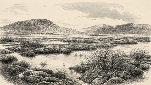
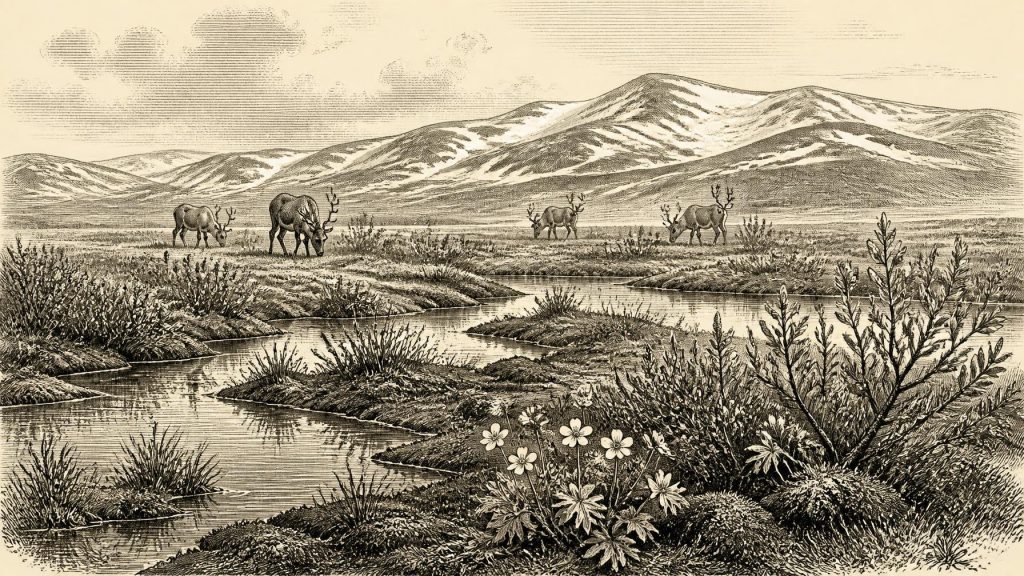
Within its proper limits, the Derryvree evidence is unusually vivid. The freshwater sediments contained mosses, sedges, aquatic indicators and plant remains associated with cold, open conditions. Reported fossils include bogbean (Menyanthes trifoliata), dwarf willow (Salix herbacea) and mountain avens (Dryas octopetala), as well as spores of lesser clubmoss and evidence for water-milfoil. These finds do not recreate a picturesque meadow on a particular day. They demonstrate instead that marshy margins, shallow water and low vegetation persisted in a landscape without established woodland.
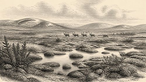
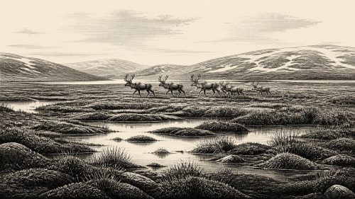
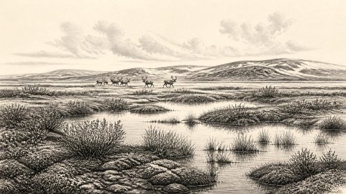
The resulting environment is best imagined as a patchwork rather than a blank frozen plain. Waterlogged hollows and sluggish pools could sustain mosses, sedges and aquatic plants. Better-drained ground may have carried low herbs, grasses and dwarf shrubs, while frost heave, seasonal thaw and strong winds disturbed exposed soils. Summers were probably short but biologically important: a brief growing season could produce forage around wetland edges, insects in sheltered water and routes through terrain that became far harder in winter. Severe cold and seasonal scarcity, however, were fundamental features of life in this periglacial setting.
The same record also corrects a simple picture of relentless, unbroken ice. The freshwater bed lay between deposits formed by separate glacial episodes. Ireland’s late Ice Age was dynamic. Ice did not merely arrive once, cover an unchanging landscape and then disappear. Advances, retreats, local ice-free intervals and meltwater processes created changing mosaics of ice, open ground, wetlands and sediment-filled basins. Around this broad period, the British–Irish Ice Sheet was building towards the much more extensive Last Glacial Maximum, conventionally placed later, roughly between 26,500 and 19,000 years ago.
Animals in the Cork Caves
County Cork provides a different kind of evidence. Castlepook Cave, near Doneraile and also known as Mammoth Cave, has yielded a remarkable Pleistocene fauna. Its collections include remains attributed to woolly mammoth, reindeer, giant deer, brown bear, wolf, foxes, hares, lemmings and spotted hyaena. The assemblage shows that Ireland, during at least overlapping phases of Marine Isotope Stage 3, formed part of a wider north-west European zone in which large herbivores and predators moved through cold, largely open habitats.
That conclusion must be qualified by the history of the cave. Much of the material was recovered during nineteenth- and early twentieth-century excavations, before modern standards of stratigraphic recording. A cave is also not an ordinary sample of an outdoor landscape: carnivores can drag prey inside, water can move bones, and deposits from different millennia can become mixed. Re-dating has shown that some older Irish cave determinations needed revision, while recent work at Castlepook continues to identify previously unexamined fossil-bearing sediments. The fauna is powerful evidence for regional biodiversity, but it cannot show that every listed species lived together at one moment in 30,499 BCE.
Reindeer are particularly relevant as an ecological guide. Their presence is consistent with open country capable of supporting mobile grazing herds, rather than dense forest. Mammoth and giant deer indicate that, at different times, the Irish landscape had room for very large herbivores; hyaenas, wolves and bears demonstrate a food web in which carcasses, predation and shelter sites mattered. These are not merely exotic additions to Irish natural history. They show that the island’s later, comparatively restricted terrestrial fauna was shaped by enormous environmental losses and recolonisations across the Ice Age.
The Human Question
No securely excavated settlement, hearth, stone-tool assemblage, dwelling, grave, artwork or human bone is known from Ireland for this date. Accordingly, it is not responsible to describe a resident Irish population, identify a language, assign an ethnic identity, or write of clans and territories. There is no evidence for political authority, diplomacy, organised warfare, formal religion, trade networks, farming, herding, metalworking or permanent villages.
A reindeer femur from Castlepook has attracted particular attention because markings on it have been interpreted as possible human butchery and the bone has been reported as dating to roughly 33,000 years ago. If that interpretation is eventually confirmed through full publication and corroborating evidence, it would indicate a brief Upper Palaeolithic human encounter with an animal in Ireland before the Last Glacial Maximum. It would not, by itself, demonstrate a settled community or continuous occupation. The distinction matters: one worked bone, especially from an old and complex cave collection, cannot carry the weight of a national origin story.
Possible visitors would have required formidable practical knowledge. Any hunter-gatherers reaching such a landscape would have needed to read weather, terrain, animal movement, stone resources, fuel and shelter with precision. Yet this is an inference from wider Upper Palaeolithic societies in Europe, not a fact established for Ireland. No Irish object of this approximate age securely reveals what people made, believed, taught or exchanged. There is likewise no basis for projecting later Irish myth, Gaelic identity or medieval political geography into this remote world.
An Island in Transition
Settlement and movement were governed first by ecology. Sea levels were lower than today, coastlines and shallow seas were differently configured, and ice could both obstruct travel and reshape possible corridors across the Irish Sea region. But the precise routes available at any one moment remain uncertain. Faunal connectivity with Britain and continental Europe is more securely suggested by the animal record than human migration is by archaeology. Animals evidently reached Ireland during favourable phases; whether people did so in the interval represented by this calendar label remains an open research question.
The greatest development relevant to 30,499 BCE was therefore environmental, not political: a cold but locally productive landscape was giving way, unevenly and over millennia, to more extensive glaciation. Derryvree preserves the small-scale evidence—water, plants, sediment and insects—while Castlepook preserves the larger animals that used related open habitats. Neither offers a dated Irish episode. Together, however, they reveal an Ireland that was neither permanently ice-covered nor hospitable in a modern sense: a changing northern margin where wetland life, migrating mammals and advancing ice met.
For this year, the honest historical conclusion is necessarily modest. There was no recorded Ireland in the human sense, but there was an Irish environment with a deep and recoverable past. Its history survives in a Fermanagh wetland trapped between tills and in Cork cave bones accumulated over long spans of time. Those traces do not answer every question about people. They do show that the island’s earliest history began not with kings or monuments, but with climate, water, animal movement and the fragile survival of life at the edge of ice.
Source References
Hover over a number to see the source. Select it to open the source.

- [1] A Middle Midlandian Freshwater Series at Derryvree, Maguiresbridge, County Fermanagh, Northern Ireland
- [2] A Reconsideration of the Radiocarbon Dating of the Marine Isotope Stage 3 Fauna from Southern Ireland
- [3] The Irish Quaternary Fauna Project
- [4] Growth and Retreat of the Last British–Irish Ice Sheet, 31,000 to 15,000 Years Ago: The BRITICE-CHRONO Reconstruction
- [5] Exploring Controls of the Early and Stepped Deglaciation on the Western Margin of the British Irish Ice Sheet
- [6] The Timing and Magnitude of the British–Irish Ice Sheet Between Marine Isotope Stages 5d and 2
- [7] The IntCal20 Northern Hemisphere Radiocarbon Age Calibration Curve (0–55 cal kBP)
- [8] The Colonization of Ireland: A Human Ecology Perspective
- [9] Sedimentary Ancient DNA Reveals Late Pleistocene Faunal Connectivity Between Ireland and Eurasia
- [10] Spotted Hyena Skull
- [11] Archaeology Research Excavation Grant 2022: Castlepook Cave Project Final Report
- [12] BSBI: Menyanthes trifoliata
- [13] BSBI: Salix herbacea
- [14] BSBI: Dryas octopetala
- [15] BSBI: Selaginella selaginoides
- [16] The Archaeological Heritage of County Cork
- [17] Ireland’s Palaeolithic Archaeology – Fleeting Footprints in a Frozen Land
- [18] Heritage Artefacts of County Cork
- [19] New Insights on the Fauna of Ireland’s Younger Dryas and Early Holocene from Alice & Gwendoline Cave
- [20] First Evidence of a Late Upper Palaeolithic Human Presence in Ireland
Primary Sources
- A Middle Midlandian Freshwater Series at Derryvree, Maguiresbridge, County Fermanagh, Northern Ireland
- A Reconsideration of the Radiocarbon Dating of the Marine Isotope Stage 3 Fauna from Southern Ireland
- The Irish Quaternary Fauna Project
- Growth and Retreat of the Last British–Irish Ice Sheet, 31,000 to 15,000 Years Ago: The BRITICE-CHRONO Reconstruction
- Exploring Controls of the Early and Stepped Deglaciation on the Western Margin of the British Irish Ice Sheet
- The Timing and Magnitude of the British–Irish Ice Sheet Between Marine Isotope Stages 5d and 2
- The IntCal20 Northern Hemisphere Radiocarbon Age Calibration Curve (0–55 cal kBP)
- The Colonization of Ireland: A Human Ecology Perspective
- Sedimentary Ancient DNA Reveals Late Pleistocene Faunal Connectivity Between Ireland and Eurasia
- Spotted Hyena Skull
- Archaeology Research Excavation Grant 2022: Castlepook Cave Project Final Report
- BSBI: Menyanthes trifoliata
- BSBI: Salix herbacea
- BSBI: Dryas octopetala
- BSBI: Selaginella selaginoides
- The Archaeological Heritage of County Cork
- Ireland’s Palaeolithic Archaeology – Fleeting Footprints in a Frozen Land
- Heritage Artefacts of County Cork
- New Insights on the Fauna of Ireland’s Younger Dryas and Early Holocene from Alice & Gwendoline Cave
- First Evidence of a Late Upper Palaeolithic Human Presence in Ireland