Reindeer Hyaena30294 BCE
30,294 BCE is a modern label rather than a recoverable Irish year. During the unstable Late Pleistocene, Derryvree, County Fermanagh, preserved freshwater silts between glacial tills, dated broadly to 34,950–29,750 BCE. Their plants, insects and pollen indicate cold, treeless, waterlogged tundra-like conditions, though locally rather than island-wide. Castlepook Cave, County Cork, contains a time-averaged assemblage of Ice-Age animals, including mammoth, reindeer, giant deer, hyaena and lemmings, demonstrating changing habitats and animal access. A possibly cut-marked reindeer bone may suggest human activity, but no secure Palaeolithic settlement is known. Renewed glaciation later buried Derryvree, underscoring Ireland’s shifting ice, water and landscape.
Dateline
30,294 BCE is a modern calendar label, not a year that can be recovered from Ireland’s prehistoric record. No contemporary people in Ireland left writing, an annual chronology, a named ruler or a datable settlement event. In radiocarbon convention, the label falls roughly 32,243 calendar years before AD 1950, but that conversion does not create year-by-year precision. The responsible frame is the Late Pleistocene, within Marine Isotope Stage 3 and the Irish Midlandian cold stage: a long, unstable Ice-Age interval in which temperatures, ice margins, vegetation and coastlines changed repeatedly. Evidence closest to this nominal date consists of geological layers, fossil plants, insects and animal bones, each dated in ranges measured in centuries or millennia.
A Date Range, Not an Anniversary
The principal Irish environmental record is at Derryvree, near Maguiresbridge in County Fermanagh. Roadworks exposed a remarkable sequence within a drumlin: a lower glacial till, organic freshwater silts and fine sands, and then a second till deposited by later ice. The layers establish a clear order. Glaciers affected the locality; an interval followed when water, sediment and living organisms accumulated; and a renewed ice advance sealed that evidence. They do not identify a single year, a particular season or the duration of every phase.
Organic material from the Derryvree freshwater deposits produced the conventional radiocarbon determination BIRM-166, 30,500 radiocarbon years before present, with a substantial uncertainty of +1,170 and −1,030 years. Radiocarbon years are not calendar years. Atmospheric carbon-14 varied over time, so laboratory ages must be calibrated against internationally maintained curves. Published calibrations place this deposit broadly in the vicinity of 36,900–31,700 calibrated years before present, or approximately 34,950–29,750 BCE. The requested date falls near the younger part of that broad range, but cannot be attached to a particular layer or organism at Derryvree.
Fresh Water Between Glaciers
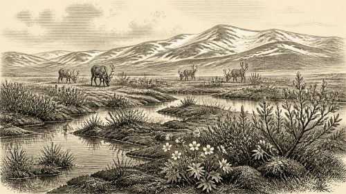
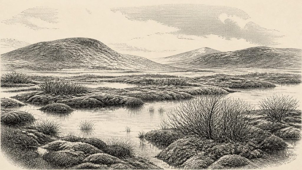
Derryvree is valuable precisely because most Irish landscapes of comparable antiquity were eroded, rearranged or buried by later ice. Its preserved silts and organic material record an ice-free locality in northern Ireland, not a warm or wooded Ireland. Plant macrofossils, pollen, mosses and beetle remains point instead to a cold, open, treeless environment with wet ground and shallow freshwater. Sedges and grasses grew beside mossy margins; dwarf willow, mountain avens, lesser clubmoss and other northern or Arctic-alpine plants indicate harsh conditions and a short growing season.
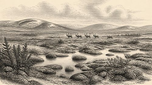
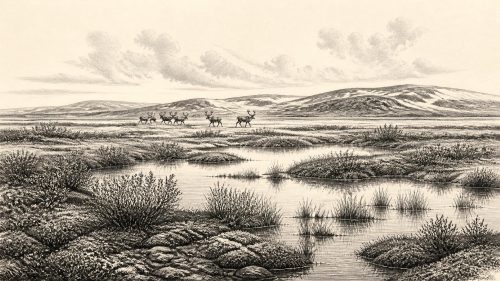
Older classifications described the setting as a tundra muskeg: waterlogged ground in which mosses, sedges and low plants could flourish despite severe cold. That phrase should not be imagined as a continuous blanket across the island. A drumlin hollow or wetland edge can preserve conditions highly local to its catchment. Nevertheless, the Derryvree evidence makes an important point about Ireland around this broad interval: at least some terrain supported freshwater habitats and vegetation between episodes of glaciation. It was neither a timeless white wasteland nor a landscape comparable with modern Fermanagh’s farms, hedges and woodland.
Animals in a Changing Landscape
County Cork provides the complementary, though differently formed, evidence. Castlepook Cave, also known as Mammoth Cave or Doneraile Cave, near Doneraile, has yielded Ireland’s richest known assemblage of Late Pleistocene vertebrate remains. Its bones include woolly mammoth, giant deer, reindeer, brown bear, wolf, Arctic fox, mountain hare, collared lemming, Norwegian lemming and spotted hyaena. The hyaena is especially significant: Castlepook is Ireland’s only known site for the species. Such animals show that Ireland was repeatedly reachable and ecologically usable by a varied cold-stage fauna.
Yet the cave must not be read as a census for 30,294 BCE. The assemblage accumulated over a very long span, with dated specimens ranging broadly from about 45,700 to 19,950 radiocarbon years before present. Hyaenas carried or scavenged bones; water moved deposits; antiquarian excavation disturbed parts of the sequence. Some species may have overlapped, others certainly did not. Castlepook therefore demonstrates regional ecological possibilities across the middle and later Ice Age, rather than proving that mammoths, lemmings, bears and every other recorded animal occupied north Cork simultaneously in the stated year.
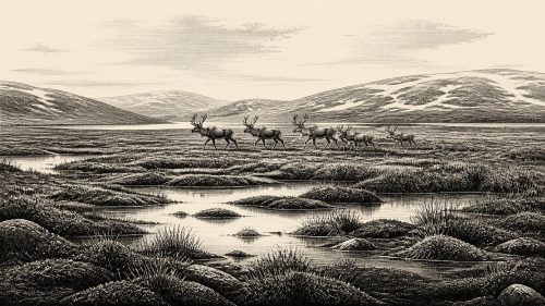
Still, the combined Derryvree and Castlepook records suggest a varied mosaic of wet hollows, open herb-rich ground, stony slopes and sheltered caves. Reindeer were suited to open terrain, while small mammals and predators reveal food chains that extended beyond the conspicuous large herbivores. Carnivores may have made caves into dens and bone accumulators rather than places of human residence. The cave deposits are thus evidence for animal movement, predation and scavenging as much as for the animals themselves.
The Unsettled Human Question
There is no securely demonstrated settlement, house floor, hearth, tool-making area, burial or enduring community in Ireland that can be assigned to this interval. The National Museum of Ireland continues to state that clear evidence for human presence in Ireland during the Palaeolithic has not yet emerged. This absence matters: the archaeological record cannot responsibly be expanded into a story of tribes, territories or permanent occupation merely because mainland north-west Europe contained Upper Palaeolithic hunter-gatherers.
A reindeer femur from Castlepook has nevertheless made the question more complicated. Publicly reported examination identified a deep mark interpreted as having been made on fresh bone by a sharp stone tool, and the bone has been assigned an age of roughly 33,000 radiocarbon years. If future microscopic study, dating and contextual work confirm that interpretation, it may indicate that people processed a reindeer in Ireland tens of millennia before the well-established post-glacial record. It would be an important trace of activity, not proof of a village or a continuous population. The bone derives from an old, disturbed cave collection and lacks a securely associated hearth, stone-tool assemblage or living surface.
No Polities, No Trade Networks
Political affairs, diplomacy and organised conflict are beyond the evidence. There are no named groups, leaders, boundaries, weapons caches or monuments. Likewise, no material basis exists for describing religion, formal learning, exchange routes or an Irish economy. If people did visit, they may have been highly mobile hunter-gatherers making short journeys through a demanding landscape; that is an inference from the wider European Upper Palaeolithic, not a fact demonstrated at Derryvree or Castlepook. The possible cut-marked bone cannot reveal language, kinship, belief or the scale of any group.
Nor should Ireland’s modern insularity be projected backwards without qualification. Global sea level was lower than today because large volumes of water were stored in ice sheets, and the Irish Sea basin had a different geography. Mammals demonstrably reached Ireland during this broad period, but their remains do not establish a particular crossing route, shoreline or land connection in 30,294 BCE. Ice, sea, river systems and exposed lowlands changed through time; the geography relevant to one animal’s movement need not have been available to another.
Iceward Change
The future of the Derryvree wetland was burial beneath glacier-derived sediment. That upper till is physical evidence of renewed glacial influence, while wider studies of the British–Irish Ice Sheet show that the period before the Last Glacial Maximum was not climatically simple. Ice extent before the later maximum remains debated in detail, and regional conditions did not necessarily change in step. The fullest late-glacial expansion affecting Ireland lay thousands of years ahead, broadly in the period around 27,000–23,000 years before present in many reconstructions.
For Ireland around this nominal date, therefore, the most defensible history is environmental rather than political. Derryvree preserves an episode of cold freshwater life between ice advances; Castlepook preserves a time-averaged archive of animals adapted to, or exploiting, changing Ice-Age habitats. Together they reveal a land of ecological opportunity and risk, repeatedly reshaped by cold, water and ice. They do not yield an Irish event for 30,294 BCE. Their importance lies in showing how much history can survive in silt and bone, and how carefully it must be read.
Source References
Hover over a number to see the source. Select it to open the source.

- [1] A Middle Midlandian Freshwater Series at Derryvree, Maguiresbridge, County Fermanagh, Northern Ireland
- [2] IQUA Field Guide 16: Derryvree and Maguiresbridge
- [3] The Subdivision of the Quaternary Period in Ireland
- [4] Castlepook Cave: County Geological Site Report
- [5] The Irish Quaternary Fauna Project
- [6] Irish Quaternary Vertebrates
- [7] New Insights on the Fauna of Ireland's Younger Dryas and Early Holocene from Alice & Gwendoline Cave
- [8] Prehistoric Details: Mell Flint Flake
- [9] Heritage Artefacts of County Cork
- [10] Archaeological Heritage of County Cork
- [11] 2022:564 - Castlepook Cave, Castlepook South, Cork
- [12] The Timing and Magnitude of the British–Irish Ice Sheet Between Marine Isotope Stages 5d and 2
- [13] Pleistocene Glaciations in Ireland
- [14] Timing and Pace of Ice-Sheet Withdrawal Across the Marine–Terrestrial Transition West of Ireland During the Last Glaciation
- [15] Exploring Controls on the Evolution of the Donegal Bay Ice Stream, North-West Ireland
- [16] Trimlines, Blockfields and the Vertical Extent of the Last Ice Sheet in Southern Ireland
- [17] The IntCal20 Northern Hemisphere Radiocarbon Age Calibration Curve (0–55 cal kBP)
- [18] A Stratigraphic Framework for Abrupt Climatic Changes During the Last Glacial Period Based on Three Synchronized Greenland Ice-Core Records
- [19] Quaternary Geology of Ireland
- [20] Quaternary Site Descriptions: Ireland
- [21] Geology of Ireland
- [22] Quaternary Geomorphology Map Service
Primary Sources
- A Middle Midlandian Freshwater Series at Derryvree, Maguiresbridge, County Fermanagh, Northern Ireland
- IQUA Field Guide 16: Derryvree and Maguiresbridge
- The Subdivision of the Quaternary Period in Ireland
- Castlepook Cave: County Geological Site Report
- The Irish Quaternary Fauna Project
- Irish Quaternary Vertebrates
- New Insights on the Fauna of Ireland's Younger Dryas and Early Holocene from Alice & Gwendoline Cave
- Prehistoric Details: Mell Flint Flake
- Heritage Artefacts of County Cork
- Archaeological Heritage of County Cork
- 2022:564 – Castlepook Cave, Castlepook South, Cork
- The Timing and Magnitude of the British–Irish Ice Sheet Between Marine Isotope Stages 5d and 2
- Pleistocene Glaciations in Ireland
- Timing and Pace of Ice-Sheet Withdrawal Across the Marine–Terrestrial Transition West of Ireland During the Last Glaciation
- Exploring Controls on the Evolution of the Donegal Bay Ice Stream, North-West Ireland
- Trimlines, Blockfields and the Vertical Extent of the Last Ice Sheet in Southern Ireland
- The IntCal20 Northern Hemisphere Radiocarbon Age Calibration Curve (0–55 cal kBP)
- A Stratigraphic Framework for Abrupt Climatic Changes During the Last Glacial Period Based on Three Synchronized Greenland Ice-Core Records
- Quaternary Geology of Ireland
- Quaternary Site Descriptions: Ireland
- Geology of Ireland
- Quaternary Geomorphology Map Service