Maguirebridge’s Buried Bogbean31480 BCE
Around 31,480 BCE, Ireland’s history is reconstructed from environmental evidence rather than records. At Derryvree near Maguiresbridge, Fermanagh, freshwater sediments trapped between glacial tills preserve pollen, mosses, insects and bogbean seeds, indicating treeless, tundra-like wetland during part of MIS 3. Radiocarbon dating places this landscape broadly between 36,900 and 31,700 calibrated years BP, not at a precise year. Southern caves reveal a varied cold-climate fauna, including mammoths, reindeer, lemmings, predators and giant deer. A cut-marked reindeer bone from Castlepook may indicate human butchery, but no securely dated settlement exists. Later ice advances destroyed evidence, leaving a regionally varied, uncertain picture.
Dateline
The label 31,480 BCE is a modern chronological convenience, not a year that anybody in Ireland could have named, recorded or remembered. No written calendar, settlement sequence or archaeological layer can resolve events on the island to that single year. In the conventional archaeological system it falls about 33,430 calendar years before AD 1950, within the Late Pleistocene and broadly within Marine Isotope Stage 3 (MIS 3), a period of abrupt North Atlantic climatic shifts. The responsible history of this notional date is therefore a reconstruction from ice-laid sediments, pollen, seeds, insects, animal bones and the difficult dating of old cave finds.
The best direct Irish evidence close to this horizon comes not from a human camp but from a buried wetland at Derryvree, near Maguiresbridge in County Fermanagh. Its importance lies in the fact that later ice sealed, rather than wholly destroyed, a small portion of an older landscape. Together with cave fauna from southern Ireland, it shows that parts of the island could sustain cold-adapted life before the most extensive phase of the last British–Irish Ice Sheet. It does not, however, provide a diary for 31,480 BCE, nor does it prove that every region of Ireland was ice-free at the same moment.
A Date Measured in Ranges
Derryvree was exposed during roadworks in 1969, when a cutting passed through a drumlin about two kilometres north-east of Maguiresbridge. Beneath the drumlin’s surface lay two distinct tills: dense, unsorted sediments deposited by moving ice. Between them were fine sands, silts and organic layers formed in freshwater. The sequence is eloquent. Ice had first crossed the district; afterwards, water and wet ground supported plants and small animals; then a later ice advance overrode the site and buried the evidence beneath another till sheet.
Organic material from this freshwater series gave the conventional radiocarbon determination BIRM-166: 30,500 years BP, with a large uncertainty of +1,170/−1,030 years. “BP” means before AD 1950, not before the present day. Radiocarbon ages are not calendar ages, because the proportion of atmospheric carbon-14 has changed through time. Calibration against the modern IntCal20 curve converts the result into a broad probability range rather than a date precise to a generation, still less to a year. Published discussions place the Derryvree evidence broadly at about 36,900–31,700 calibrated years BP. The target date lies within that span, but it cannot be isolated within the deposit.
That uncertainty is not a weakness to be wished away. It tells us what the evidence can honestly bear. The Derryvree material is strong evidence for an ice-free freshwater and periglacial environment in this part of Fermanagh during a portion of later MIS 3. It is not evidence for a named community, a particular winter, or a single political event. Across Ireland, later glacier movement, erosion, sea-level change and early unstratified excavations have removed or scrambled much of the record that might otherwise allow finer resolution.
Wet Ground Under a Cold Sky
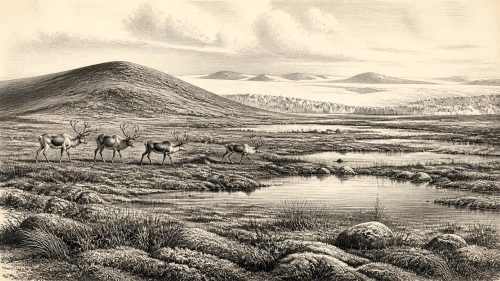
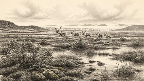
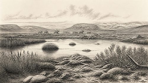
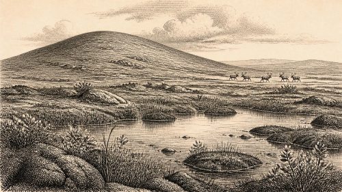
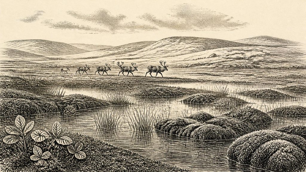
Derryvree’s pollen, plant macrofossils, mosses and invertebrate remains describe an open landscape of full-glacial character. The original investigators interpreted it as tundra or muskeg: wet, moss-rich, sedgy ground broken by shallow pools and slow water, with frost affecting the surrounding terrain. It was not the wooded, hedged and pasture-rich Ireland familiar today. The balance of evidence points instead to largely treeless country, where low vegetation and damp hollows survived a severe, strongly seasonal climate.
A particularly vivid find is a seed of bogbean, Menyanthes trifoliata, a plant of shallow freshwater margins and fens. Its presence does not make the landscape mild. Rather, it confirms that some pools and saturated ground supported aquatic and wetland vegetation despite the cold. Fossil water-milfoil pollen and moss assemblages add further detail. Such remains allow archaeologists to move beyond a bare phrase such as “Ice Age”: there were standing waters, vegetation zones, insects and animal pathways, not an empty white expanse.
Yet this was an unstable world. MIS 3 was marked by repeated climatic oscillations across the North Atlantic. Conditions could alter substantially over periods far shorter than the millennia represented by the Derryvree date range. Regional contrasts also mattered. An exposed upland, a sheltered limestone valley and a low-lying basin beside freshwater would not have offered the same resources. The later expansion of the British–Irish Ice Sheet would eventually reshape much of the island and erase many landscapes of this age; that destructive history helps explain why Derryvree is so exceptional.
Reindeer, Hyenas and Mammoths
Southern cave assemblages provide a complementary, though complicated, picture of Irish animal life. Castlepook Cave near Doneraile in north Cork has yielded remains attributed to woolly mammoth, reindeer, giant deer, brown bear, wolf, Arctic fox, mountain hare, collared lemming, Norwegian lemming and spotted hyaena. This is an impressive cold-country fauna, very different from the later historic fauna of Ireland. Reindeer and lemmings accord well with open, northern environments; large herbivores and their predators imply food webs that could operate beyond the margins of the Derryvree wetland.
The list must not be mistaken for a census of one valley in 31,480 BCE. Cave deposits often accumulate over long intervals. Carnivores may drag remains into a den; water may redistribute bones; excavation can mix material from separate layers; and fossil specimens may be dated decades after their recovery. Improved ultrafiltration and radiocarbon pretreatment have shown that several earlier Irish cave dates were too young. Re-dating at Castlepook, Foley and Shandon caves pushed some faunal evidence thousands of radiocarbon years farther back, strengthening the case for an Irish MIS 3 fauna while making old assumptions about exact contemporaneity less secure.
Castlepook is also central to the possibility of a much earlier human presence. A reindeer femur in the collection of the National Museum of Ireland has a deep linear mark interpreted by zoologist Ruth Carden as a fresh-bone cut or chop made with a sharp stone implement during carcass processing. County Cork heritage interpretation associates the specimen with about 31,000 BCE. If that interpretation is upheld, it would be evidence that people handled a reindeer in Ireland around the broad period considered here, many millennia before the securely dated terminal-Pleistocene evidence from County Clare.
The qualification is crucial. The marked femur is not a settlement. No securely associated hearth, stone-tool assemblage, dwelling surface, human burial or concentration of butchered animals has yet demonstrated a camp at Castlepook in MIS 3. Nor does the radiocarbon age of an animal bone identify the exact moment when its surface was modified. The cave itself may have been a carnivore lair rather than the place where the animal was killed or initially butchered. Recent archaeological work has sought surviving Pleistocene deposits that might test the claim with better context. Until such evidence is recovered, the femur is a serious and tantalising indication of possible human activity, not proof of a settled population.
No Polities, No Proven Trade
There is no evidence from Ireland around this horizon for rulers, territories, diplomacy, organised warfare, formal religion, agriculture, metalworking or trade networks. It would be misleading to invent them merely because an annual history normally discusses politics, conflict, belief and economy. No houses, hearths, graves, ornaments, artworks or toolkits can presently be assigned securely to this date on the island. Consequently, there is no basis for describing a distinct Irish society, language, religious practice or learned tradition.
If people did reach Ireland in this period, the Castlepook bone suggests a far more modest scenario: small, mobile Upper Palaeolithic groups exploiting animal resources in a difficult northern environment. Their wider European contemporaries possessed sophisticated stone technologies, clothing, social connections and cultural traditions, but those facts cannot simply be transferred to Ireland without Irish finds. Even the route remains uncertain. Lower sea levels altered the geography of the seas around Ireland, yet reconstructions of any land connection with Britain are debated and time-specific. A crossing, if one was necessary, should not be assumed to have been either easy or routine.
An Island of Evidence, Not Certainty
The most important development around 31,480 BCE was environmental. In Fermanagh, freshwater accumulated between glacial advances amid treeless tundra-like wetland. In the south, a varied Pleistocene fauna included animals now long absent from Ireland, while Castlepook preserves a contested clue that human hunters may have briefly entered this landscape. These are fragments, but meaningful ones. They replace an older image of an entirely lifeless Ireland with a more careful picture: a changing, regionally varied island at the edge of north-west Europe, capable at times of supporting wetlands, herds, predators and perhaps fleeting human visitors before ice again transformed the ground.
Primary Sources
- A Middle Midlandian Freshwater Series at Derryvree, Maguiresbridge, County Fermanagh, Northern Ireland
- Palaeoecology
- Figure 6.— The Subdivision of the Quaternary Period in Ireland
- A Reconsideration of the Radiocarbon Dating of the Marine Isotope Stage 3 Fauna from Southern Ireland
- The Irish Quaternary Fauna Project
- Heritage Artefacts of County Cork
- 2022:564 – Castlepook Cave, Castlepook South, Cork
- Late Pleistocene Chronostratigraphy and Ice Sheet Limits, Southern Ireland
- Growth and Retreat of the Last British–Irish Ice Sheet, 31,000 to 15,000 Years Ago: the BRITICE-CHRONO Reconstruction
- Timing and Pace of Ice-Sheet Withdrawal Across the Marine–Terrestrial Transition West of Ireland During the Last Glaciation
- Marine Geophysical Evidence for Late Pleistocene Ice Sheet Extent and Recession off Northwest Ireland
- Quaternary Geological Map of Ireland 1:500,000 Scale
- Ireland Through Geological Time
- The IntCal20 Northern Hemisphere Radiocarbon Age Calibration Curve (0–55 cal kBP)
- IntCal
- The Island of Ireland: Drowning the Myth of an Irish Land-Bridge?
- The Problem of a Late Quaternary Landbridge Between Britain and Ireland
- Stoats (Mustela erminea) Provide Evidence of Natural Overland Colonization of Ireland
- New Insights on the Fauna of Ireland’s Younger Dryas and Early Holocene from Alice & Gwendoline Cave
- First Evidence of a Late Upper Palaeolithic Human Presence in Ireland
- The Exploration of Some Caves Near Castletownroche, Co. Cork
- The Irish Quaternary Association